
April 7th, 2008 Northern Texas Supercellfest
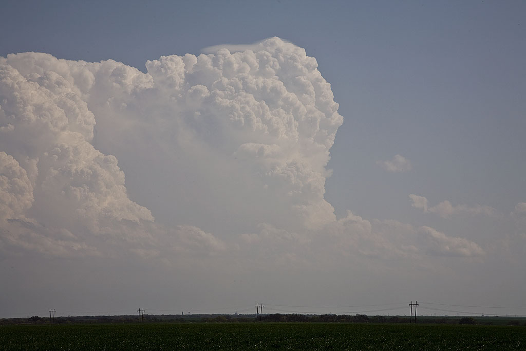
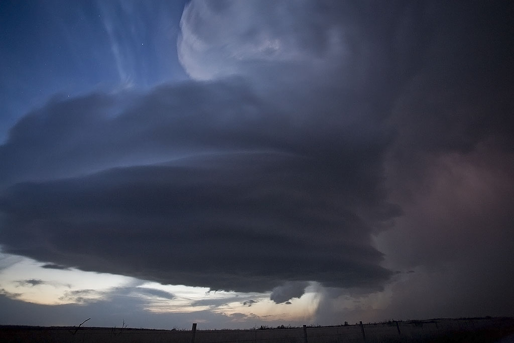
April 7th was a decent looking day with a strong dryline/warm front intersection over western Oklahoma and north Texas. We arrived mid afternoon as a tornadic supercell developed west of Wichita Falls. SPC issued a PDS tornado watch and upgraded to Moderate Risk. We witnessed a brief tornado in the occluded mesocyclone, and then had great photo ops for two other lpish supercells. We also encountered tennisball to baseball sized hail with all three storms. Check out the photos below.
No comments yet.