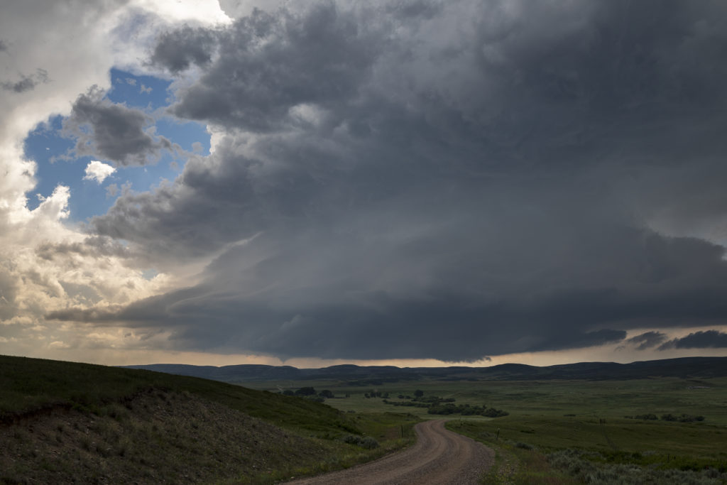
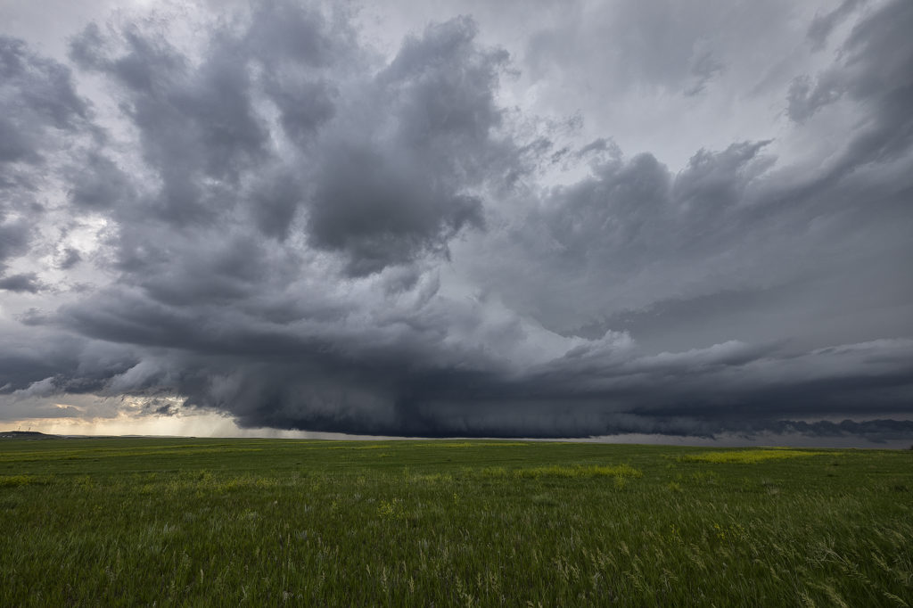
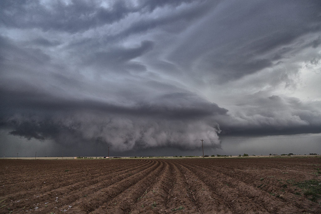
What a way to spend the 4th of July! We decided mid morning that it looked too tempting not to chase this day. Upslope flow into the Laramie Range in southeast Wyoming was the hot spot. Good shear, instability and moisture would help form an intense supercell mid afternoon. This storm crossed the Laramie Range and intensified as it moved east off the higher terrain. We were just west, then southwest of town as the storm spun hard. A funnel formed and nearly touched down as it crossed the mountains. Once close to town a very low and strongly rotating wall cloud formed. Soon a nice cone shaped tornado touched down and stay on the ground for nearly 25 minutes! It crossed I-25 south of town and as the cell moved east it encountered more stable air and weakened.
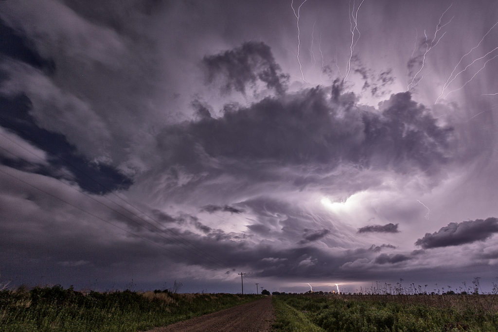
This supercell had fantastic structure, intense cloud to ground lightning and baseball sized hail. The tornado caused no damage thankfully and was a treat to watch and photograph. In hindsight I wish we would have stayed south of it instead to trying to stay in front of the storm. The views from the south were stunning! A fun way for us to spend the 4th of July. Once we got back home after dark, we had our own private fireworks from a large pack we bough last year in Missouri. Enjoy the pics!