Tag Archives | July 2015

July 19th Western Kansas Severe Storm

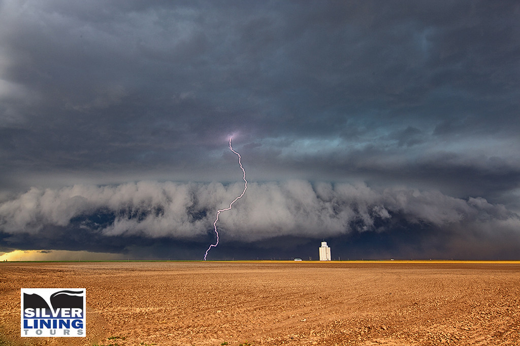
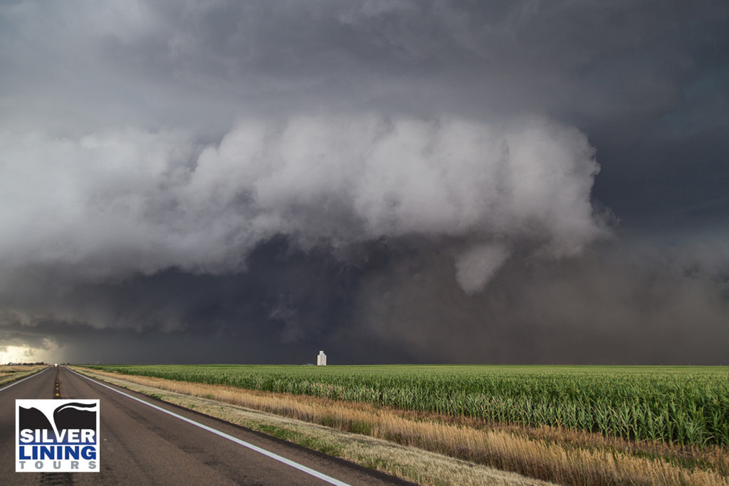
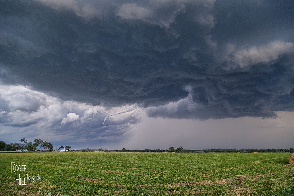
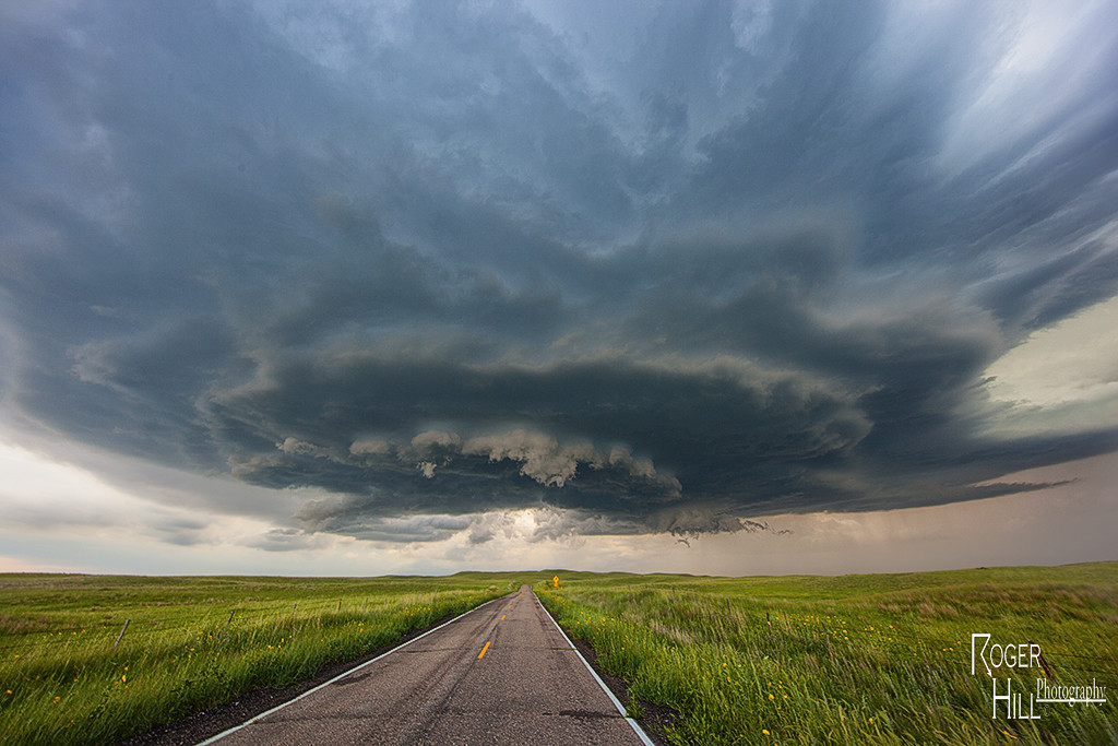
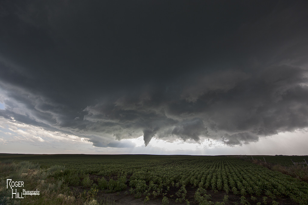
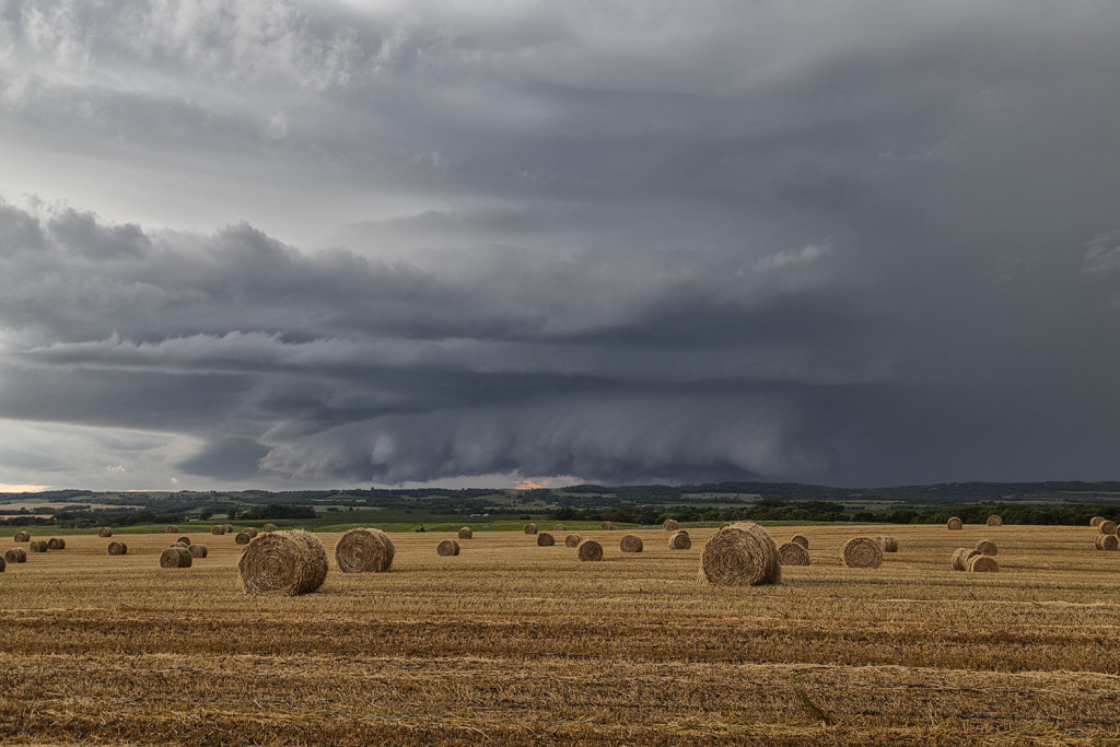
July 19th took us to southeast Colorado and southwestern Kansas. Although the set up wasn’t stellar by any means, there was enough shear, instability and moisture to support severe storms, including supercells. Mid afternoon south of Seibert, CO a supercell formed and tracked southeast. It eventually merged into a line of storms with embedded supercell structures as they marched all the way to Garden City, Kansas. Near the town of Tribune, Kansas on cell in the line spun pretty strongly and produced 80 mph winds, baseball hail and even a funnel cloud. This was a nice way to wrap up the Great North Tornado Hunt tour as the guests got to see a little bit of everything on this tour!


July 18th Nebraska Supercell and Funnel

July 18th took our Great North Tornado Hunt towards the North Platte area. Modest shear, great convergence, good instability and moisture would result in numerous storm developing. We targeted a cell northwest of Hershey that ended up anchoring itself there for a couple hours as it intensified.  The structure on the storm was quite nice, and as it moved towards Hershey, a long slender funnel formed near the clear slot of the supercell. We stayed with the storm until it decayed near dusk. Overall a great chase day and results for the tour. Something about Nebraska in July produces very pretty storms often!

July 17th South Dakota Tornadic Supercells

July 17th had incredible potential across the Dakotas. Our Great North Tornado Hunt tour was in place in far northeastern South Dakota awaiting initiation. A subtle short wave trough was moving across the region at peak heating, while 5000 CAPE values developed along with upper 70 dew point readings. An approaching cold front/dryline triple point would spark the first supercells, and then later the cold front would spark several more. We witnessed on such storm develop near Britton, SD which had incredible structure, huge hail to baseball size and a couple funnel clouds. Later another supercell formed near Eden, SD and dropped a tornado southeast of town. We stayed with the storms into western Minnesota where they weakened as they moved out of the strong instability. We finally dropped south towards Watertown, SD for the night as a really pretty shelf cloud approached town. A great day for the Great North tour, and it would be the first of several excellent set ups we had on this tour!