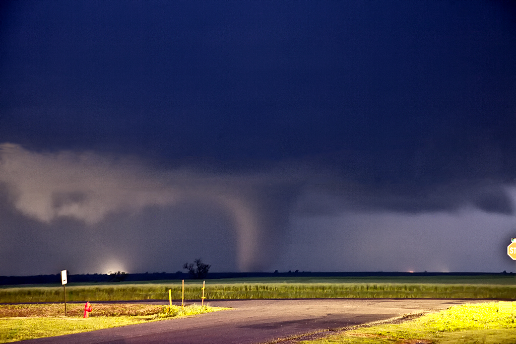
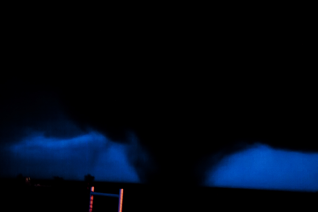
April 14th was a day that held great promise of long track violent tornadoes. SPC issued a High Risk for the area. We decided that we’d play the dryline down wind to allow storms to intensify as the raced at 50-60 mph towards us. The ultimate goal was to end up in northwest Oklahoma by mid afternoon, by dropping south with each storm until we got to within an hour of initiation point. Only thing is, nature would have the last laugh with us. We captured a tornado warned storm near Macksville that was racing towards Salina. When we saw it, it had weakened considerably, so we let it go. This would be the storm that RE-INTENSIFIED and produced several photogenic strong tornadoes near Salina. So, we dropped further south to a pair of tornado warned supercells heading towards Kingman. First one weakened as well, but briefly intensified and produced a short lived truncated elephant trunk shaped tornado. The second supercell pulsed up and down and produced two brief tornadoes not far from Pretty Prairie. Finally, seeing the storm of the day develop and immediately start producing tornadoes east of Woodward, we blasted south and made Manchester, OK right at dark. A very strong cone, then wedge formed and passed within 400 yards of us and raced into southern Kansas. We stayed with the storm, crossing multiple damage paths and witnessing several more tornadoes before we couldn’t stay up with it as it approached Wichita. This storm would produce anywhere from 15-20 tornadoes along its path from Woodward to northeast of El Dorado. Here’s a few pics from the day, overall a great deal of tornadoes intercepted, but what could have been in daylight for us, just wasn’t meant to be.