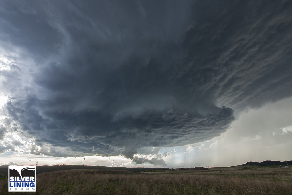
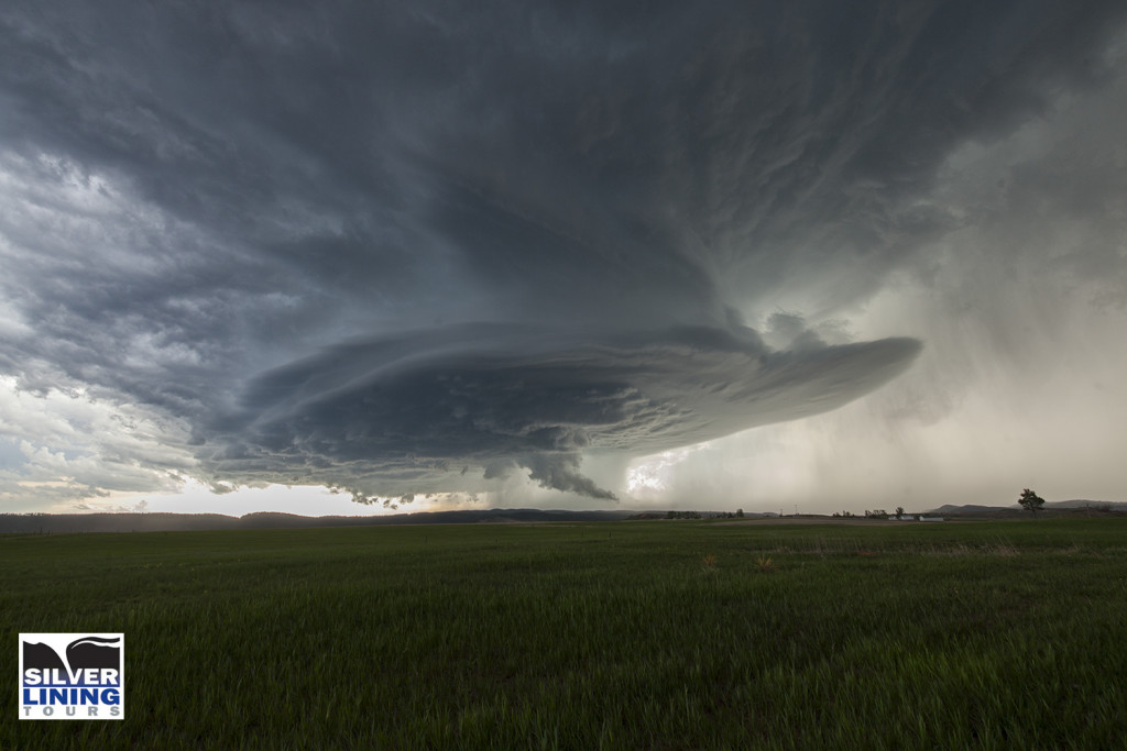
July 13th was the second great day for the Great North Tornado Hunt tour. We started the day in Wichita. Extreme heat and instability would form that afternoon with temperatures near 100F and dewpoints in the upper 70s. Cells tried to form for a couple hours along a dryline/outflow boundary composite, and finally by around 5pm a significant supercell formed just west of Arkansas City, KS. This storm quickly became severe for large hail to tennisball size. As it continued to intensify, it moved due south towards northern Oklahoma near Peckham. This storm was a striated beast. It had continuous lightning, huge hail to baseball sized, and a wall cloud that spun like crazy. By mid evening, the storm weakened as it merged with other cells to its west, and eventually lined out moving into central Oklahoma. One of my favorite nontornadic chases of 2016!
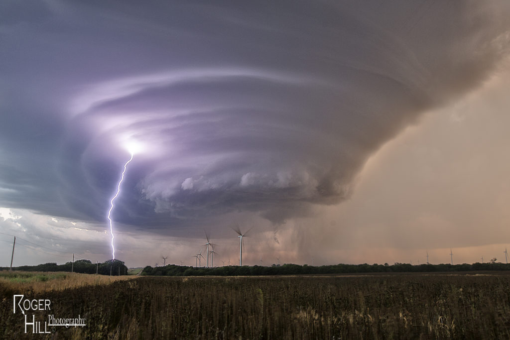
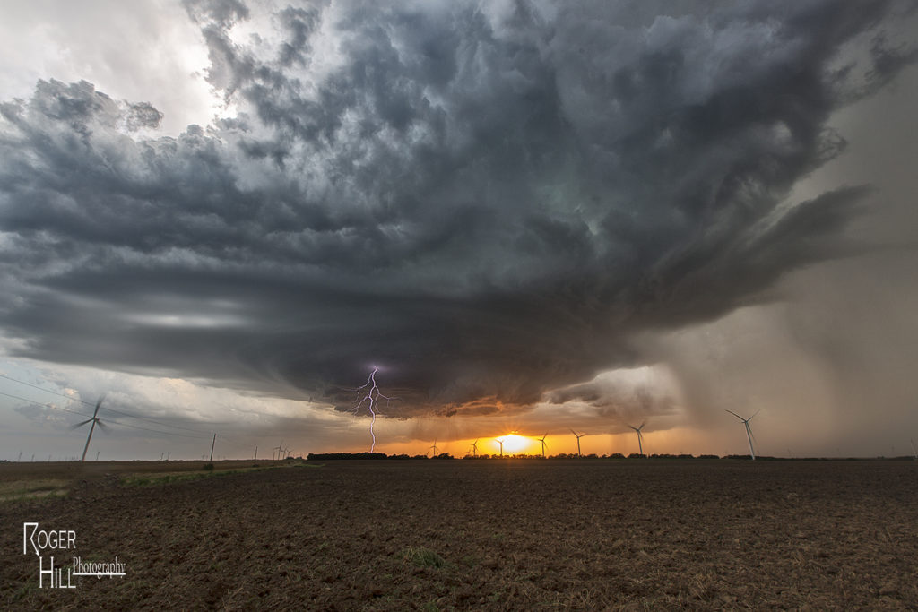
June 1st South Dakota Supercell
For Tour #5 and Photo Tour #2, June 1st took us to the Black Hills area of South Dakota. Good upslope flow coupled with high CAPE values, would produce a very nice supercell storm that anchored itself to the east side of the Black Hills. This storm spun nicely, even tried to produce a tornado, but didn’t quite have enough low level shear to become tornadic. It did,, however, produce tons of very large and damaging hail to baseball size south of Sturgis. The storm persisted for several hours before decreasing in intensity just before dark. Both tours had a very nice treat on this day, and along with great structure, the storm produced some incredible lightning!