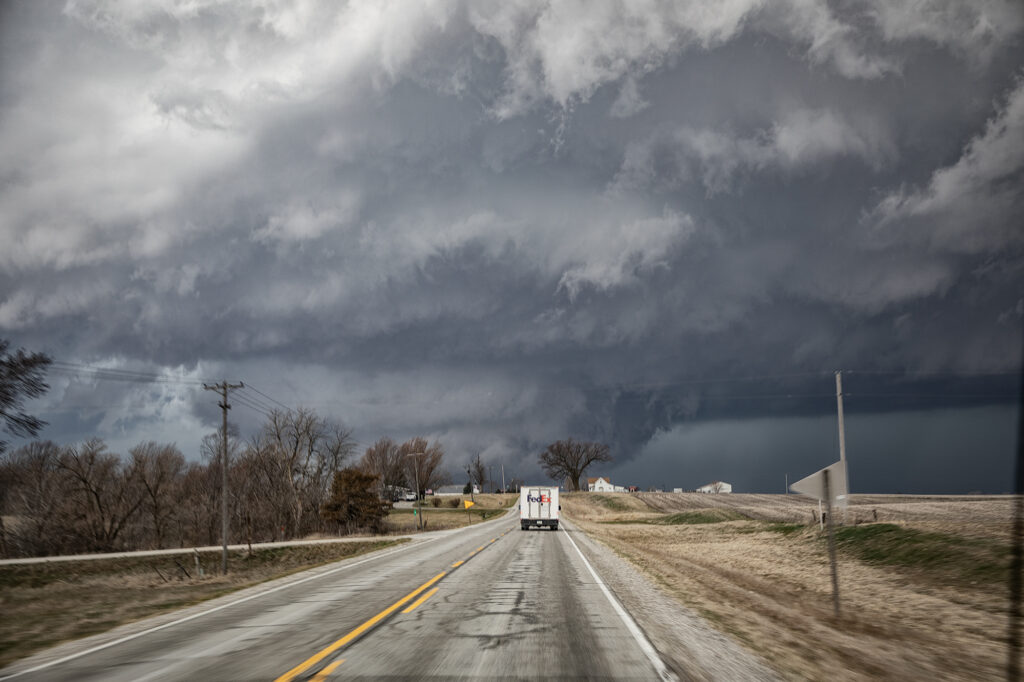
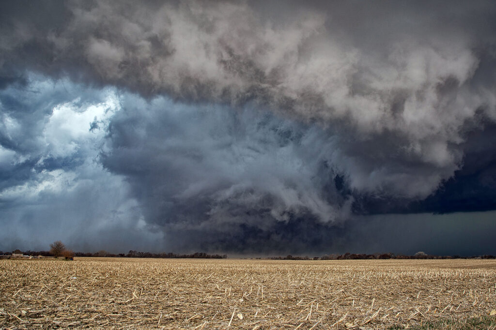
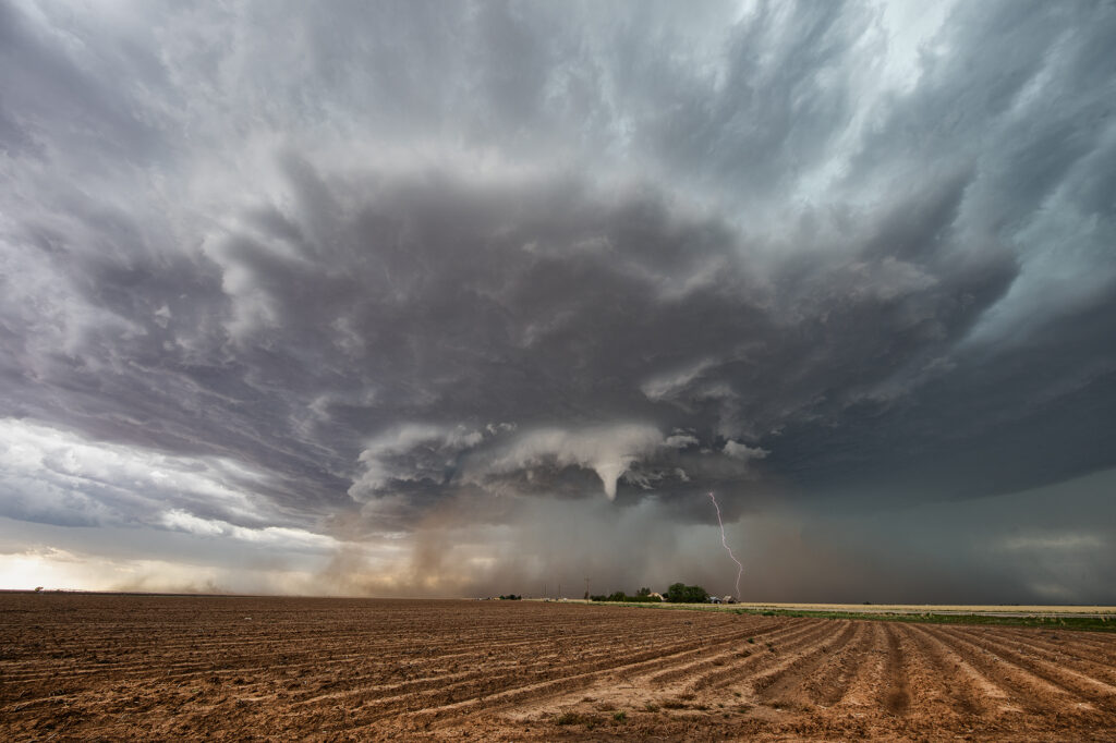
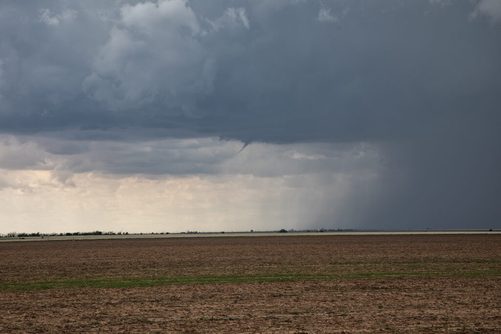
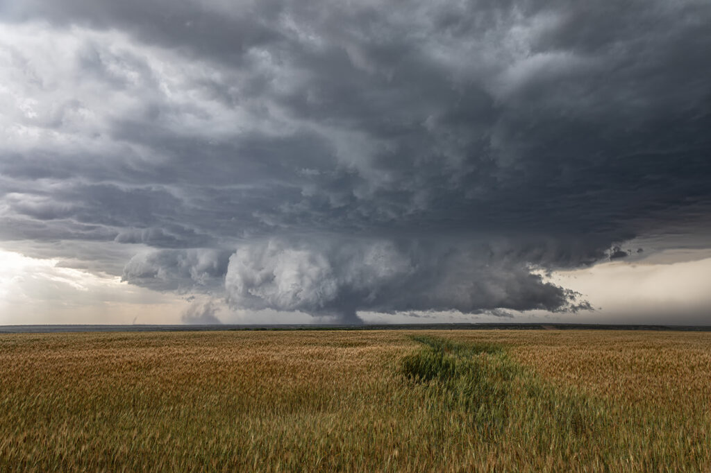
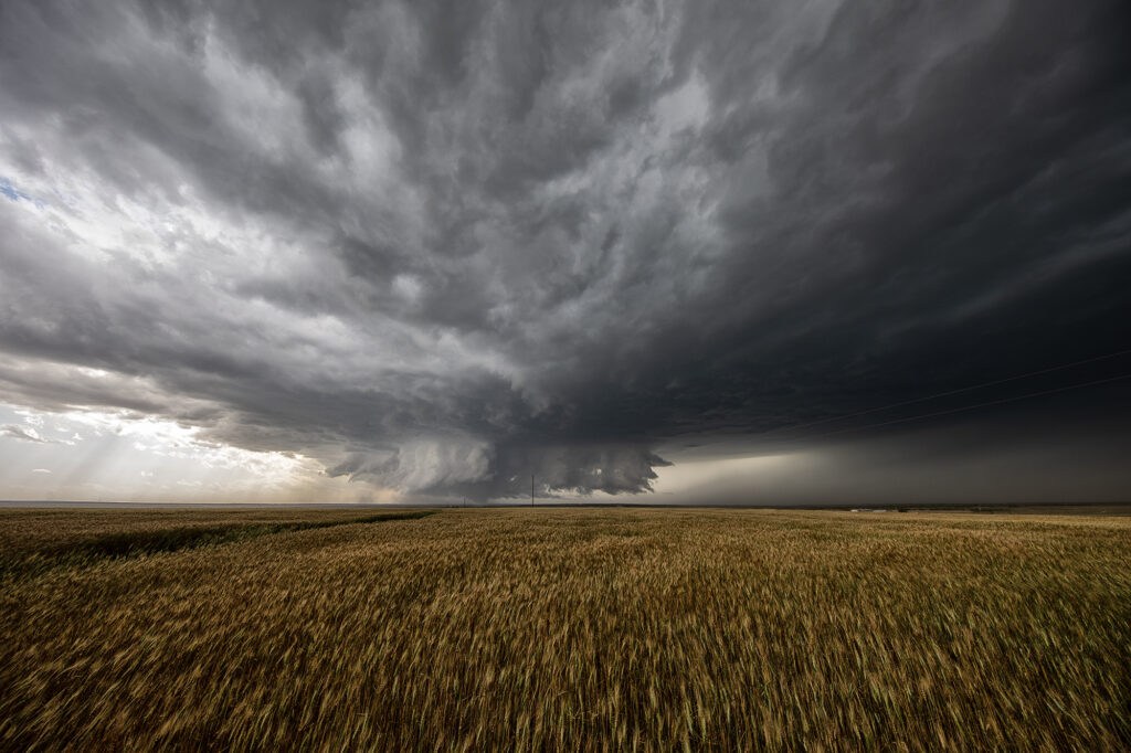
May 23rd brought great wind shear, but marginal moisture. Several supercells formed along the TX/NM border east of Clovis, NM. One high based storm took on the classic spaceship appearance and was visibly rotating. A little nubby funnel formed and even touched down briefly (confirmed by the NWS). It was quite pretty and also produced a lot of lightning strikes. As it moved east it became less intense so we blasted to a boundary southeast of Plainview, TX. This storm tried to produce, but low level shear was just too weak. It had great structure as well and spun hard for a couple hours before weakening. A great day with the environment we had! Enjoy the pics!
May 22nd Texas Panhandle Supercells
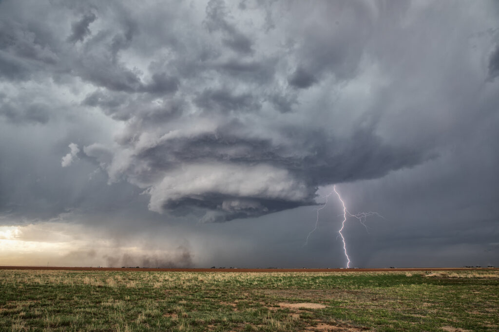
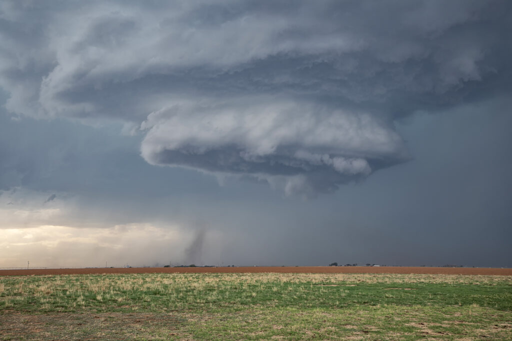
May 22nd brought decent moisture, good instability, a Texas dryline and moderate shear. By early afternoon, cumulus towers were forming along the dryline from Amarillo south to Lubbock. A bulge in the dryline was evident around Tulia and that’s where we intercepted our first supercell. It only took about an hour for the storm to really get organized and quickly a small funnel cloud formed. It persisted for a couple minutes. A blocky wall cloud formed and started rotating. However, it was quickly undercut as a new cell formed to the southwest. As the storm weakened another supercell formed northwest of Lubbock. We headed south for that one as a ragged wall cloud formed. As the storm moved east, it encountered higher temperatures and lower dewpoints which caused the storm to become high based, thus lessoning the chance of it producing a tornado. It did produce a high based funnel near Crosbyton and also produced hail golfball sized. Soon after, it weakened coming off the caprock and the chase was ended.
May 19th Texas Panhandle Tornado Warned Supercell
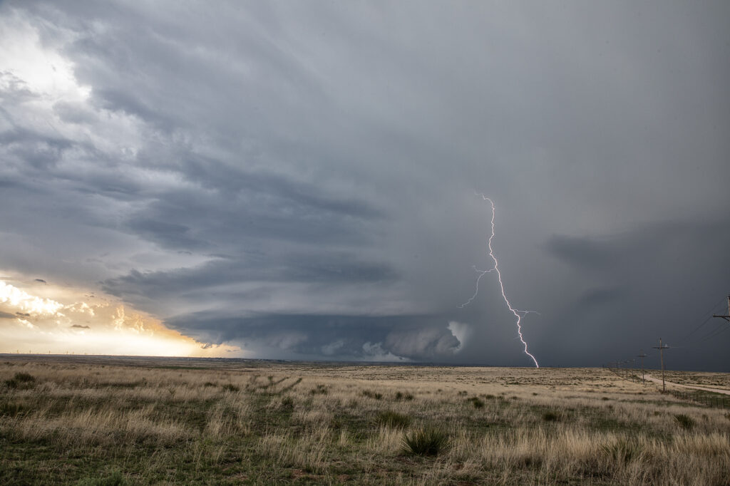
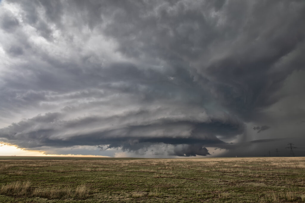
May 18th featured a short wave trough moving into the Texas panhandle. It also had a dryline extending along I-27 south and north of Amarillo. Storms started forming mid afternoon along the dryline. Although they couldn’s sustain themselves and eventually died off, they did produce some severe weather. Late afternoon a cluster of storms formed northwest of Amarillo. Due to weaker wind shear, we hoped something would emerge from the cluster due to storm interactions. It certainly did! A supercell emerged west of Chunky, TX and drifted slowly east. It tried to produce a tornado a few times, and was tornado warned. It could never keep a rotation couplet tight enough to produce one. The storm produced baseball sized hail and had very pretty structure. Whenever you get that stack of plates look, you know it is a special storm! Moving very slowly east, it kept it’s intensity for several hours before finally decaying mid evening. A great day and a fun chase! Enjoy the pics!
May 13th Pleasantville, Iowa Tornadoes
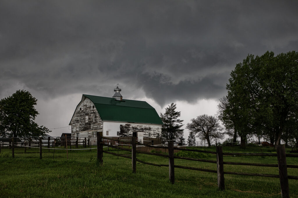
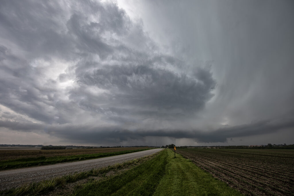
May 13th showed significant moisture and instability along a warm front and outflow boundary from previous days’ convection. The boundaries met and formed a triple point southwest of Des Moines, Iowa. Storms fired very early by 1pm and became tornado warned. Nothing significant formed but we stayed with them. Several false reports of multivortex tornadoes occurred, which has been the case all spring. The old philosophy of if you aren’t sure it’s a tornado, it is not one should be taken by many storm chasers! Numerous tornado warnings were issued, and the monster supercell spun like crazy. It eventually weakened as it moved east off the boundary. Another supercell formed southwest of Pleasantville and produce at least 3 tornadoes that we witnessed. A multivortex, an elephant trunk and then another multivortex that was less than a quarter mile from us! The motion was incredible right over the vans as this tornadic storm drifted northeast and produced. An overall exciting day that the guests loved! Enjoy the pics!!!!
May 12th Nebraska Tornadoes
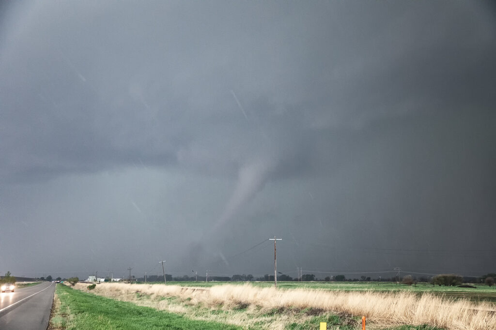
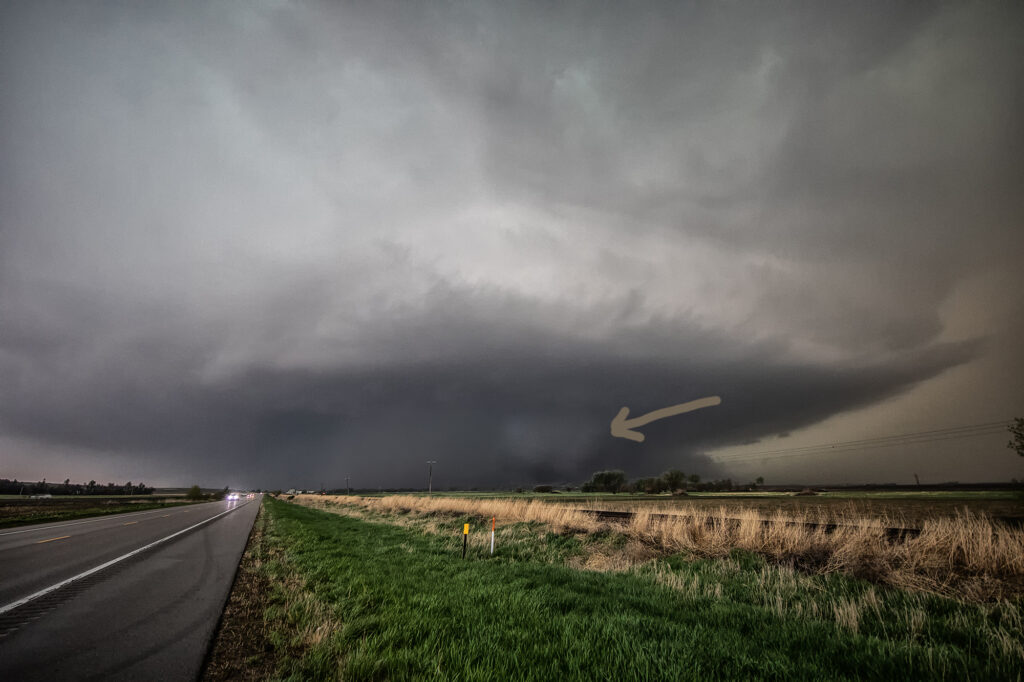
A great set up on May 12th took us to an arching boundary across central and eastern Nebraska. Early day storms produced weak tornadoes over north central Nebraska, but since our target was further east, we decided to wait it out for what we hoped were more violent storms. The wait paid off and numerous storms formed, almost all tornado warned, from northwest of York to north of Lincoln. One particular storm became violently tornado near Scribner, NE as we watched it produced a large partially rain wrapped wedge, then another elephant trunk shaped tornado in front of it. The wedge was rated EF-2 and the elephant trunk EF-1 as they hit a few structures, but fortunately nobody was killed. It was a murky day with a lot of low level moisture in place so apologies for the murky looking photos! Enjoy!
May 11th Central Oklahoma Tornado Warned Supercells
Great potential on May 11th!! Good moisture and instability would occur, as well as lift along a dryline, would result in several tornado warned supercells and one that produced a couple of night time tornadoes near Noble, OK. We chased south of the OKC area early as a supercell formed. It eventually died off as it ingested dry air. However, north of that several storms went up and spun, becoming tornado warned. One storm took us towards Lindsay, OK and attempted to drop a tornado. The funnel came halfway down and receded. Structure was very pretty as the supercells became very well organized. In a weird ending, one of the first storms we chased dropped the tornadoes. This storm was in the middle of a line of supercells, which typically is unusual. Almost always chase the tail end storm that has no competition for air, but this was not the case today! Enjoy the pics!
May 10th Akron, CO Tornado and Supercell
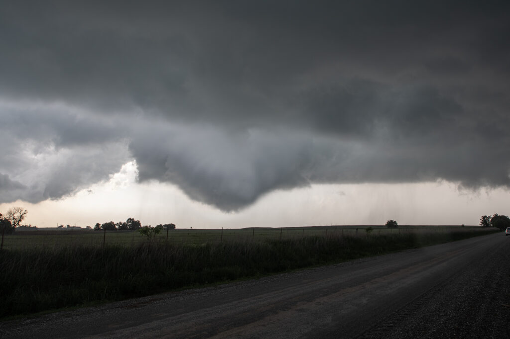
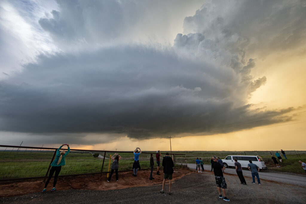
May 10th had great potential in eastern Colorado. Upslope flow, and approaching short wave, good moisture and moderate instability would set the stage for intense storm formation by early afternoon. Initial storms would cluster and produce copious amounts of hail around the Denver metro area and just east. A boundary draped along I-76 eastward towards Wray would be the focus for a few supercells that would produce a couple tornadoes. We were heading towards Akron when we encountered a HUGE line of chasers stopped at construction red lights. This delayed us almost 30 minutes! We ended up watching a tornado from the construction back up and had no way to get east due to flooded and extremely muddied dirt roads. A frustrating day, but at least we managed to catch a tornado!
April 22nd Doole, Texas Potentially Tornadic Supercell
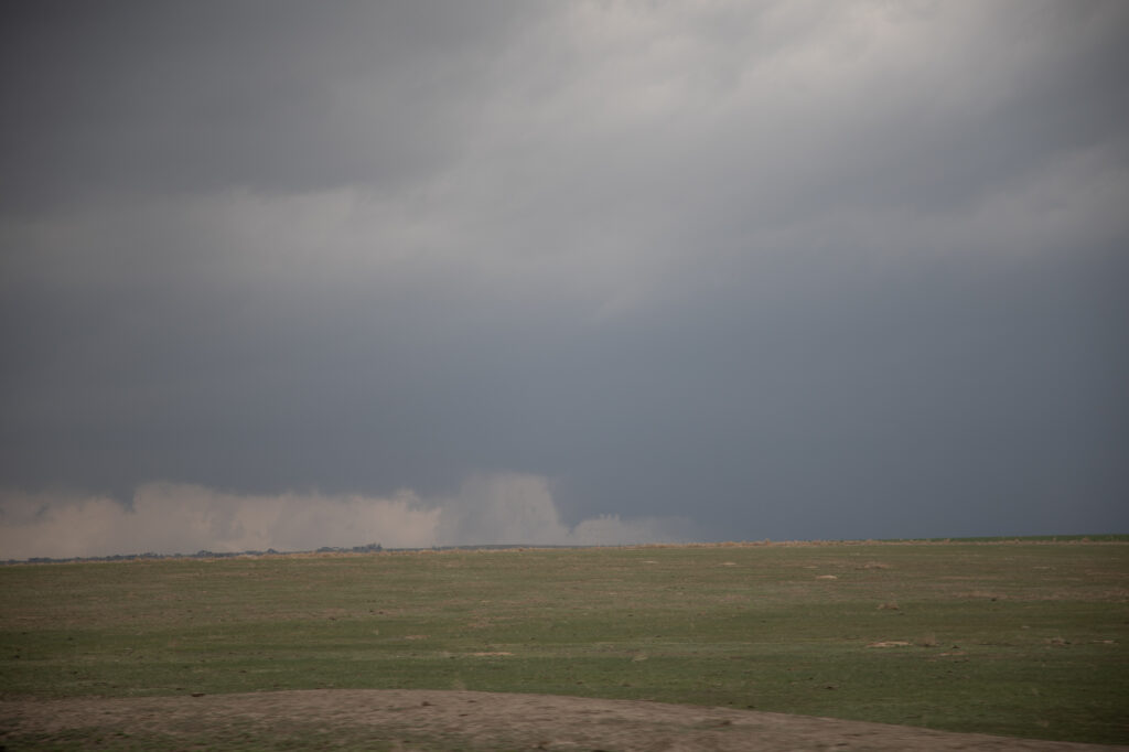
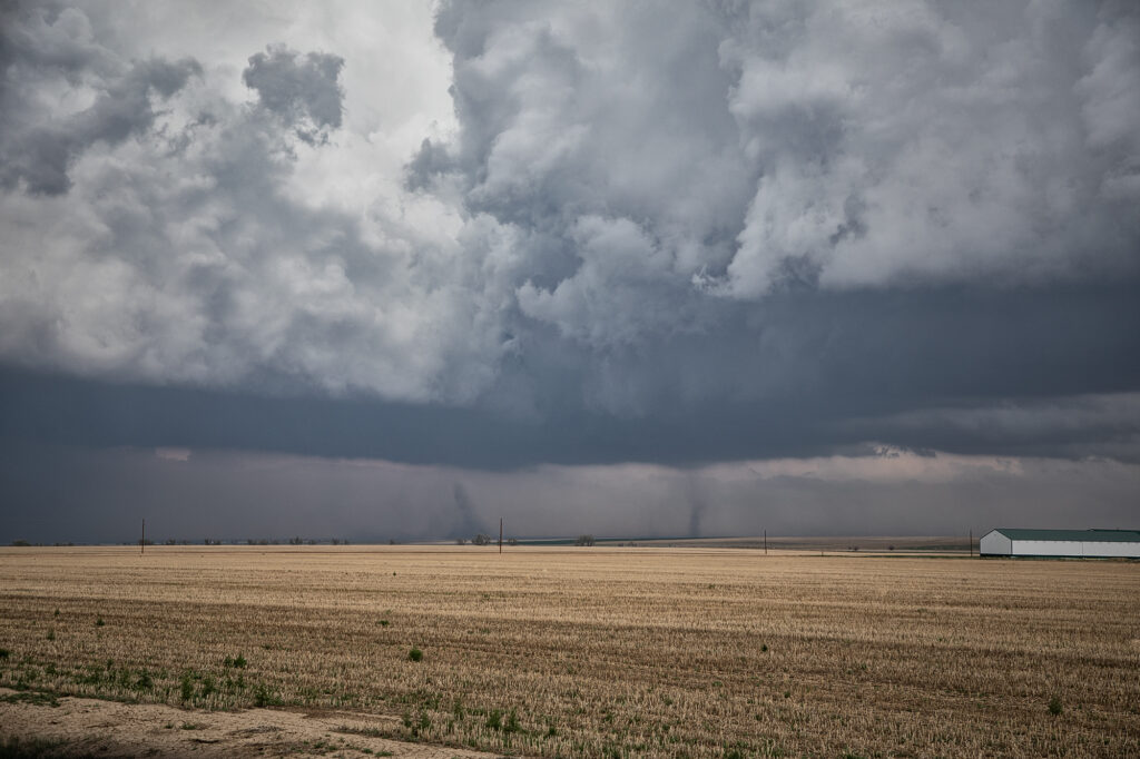
An interesting set up with northwest flow aloft on April 22nd. A weak low along with a sharpening dryline and warm front, set up a triple point northwest of San Angelo, Texas. Moisture would be the issue as dewpoints were in the 50s. Shear was good and convergence at the triple point would fire off a storm that became a long lived supercell. As the storm turned along the boundary, it started spinning strongly. After an interaction with another weak cell which it destroyed, it developed intense rotation, and on radar a classic scorpion tail hook echo formed with a good velocity couplet. RFD dirt was seen wrapping around the southern periphery of the storm and soon a large dirt bowl formed and persisted for about 5 minutes. Tornado? Possibly. But the storm also had hail the size of softballs. It soon moved east into less unstable air with lower dewpoints and it slowly decayed over the next couple of hours. A GREAT way to start the 2023 official tour season with Tour #1, the Close Encounters tour, witnessing this supercell. Enjoy the pics!!!
April 4th Pleasantville, IA Tornadic Supercell
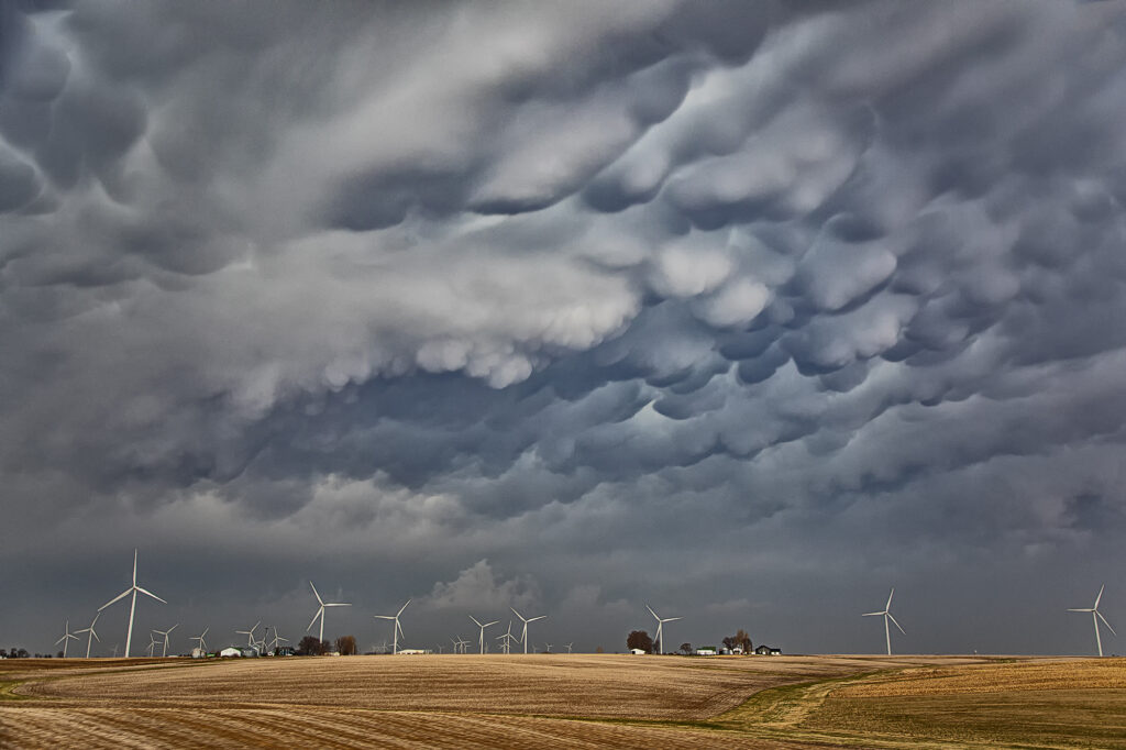
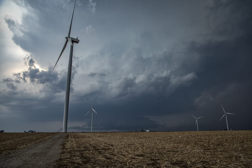
April 4th was a complicated day. A powerful upper level low would pivot out onto the plains late in the period. Low level moisture was fairly shallow for a big event, with pockets of dry air mixing out the better moisture. It seemed like two areas would be the best targets: 1) southwest Iowa as the forcing came out, however moisture was forecast to mix (and did!), 2) southeast Iowa and western Illinois in the free warm sector. We sat in Ottumwa for a couple hours waiting for one target to become clear. It never really did. A cluster of storms formed in eastern Missouri and consolidated into a few supercells as they moved into western IL. We started to head that way to chase, but it would have been a long way back to Kansas City that night as several guests had to be back in Denver by late afternoon the next day. Shortly after we headed out to go to IL, the Iowa play started forming. A line of storms, now severe, formed along the dryline west of Osceola and moved east. The tail end storm really started getting it’s act together so we quickly turned around and headed toward Pella (where we saw a tornado 2 years ago!). As we approached Pella, a tornado warning came out with a confirmed tornado towards Pleasantville, which was another 15 miles west. We did all we could to get there, but were only able to get a glimpse of the pretty tornado before it dissipated. We stayed with the supercell as it approached the warm front and became tornado warned again. A brief spin up happened south of Malcom. The storm continued its path across the warm front, weakening in the colder air. Here’s a few pics of what we saw with the supercell, distant tornado and the second spin up. Enjoy!!!!
March 31st Ollie, Iowa Violent Tornado
An extremely volatile day was in store on March 31st. A powerful trough was moving out of the Rockies onto the plains as a surface low intensified north of Omaha. We took our on call tour towards the Des Moines area in anticipation of rapid supercell formation early afternoon. The dryline lit up like a Christmas tree shortly after noon as storms raced northeast at 60-70 mph! Strong shear, good moisture and instability and a strong jet would fuel these storms. By 2pm a large thunderstorm formed in northwest Missouri and rapidly moved northeast, becoming tornado warned as it approached Ottumwa, Iowa. We moved to position ourselves in front of it to see what it could produce. We approached the small town of Packwood as a cone tornado stabbed down to the ground west of us and grew to massive proportions.
As we drove west on highway 78 towards Hedrick, the tornado wedged out becoming a massive twister less than a mile from us! The roar of the tornado and rear flank downdrafts winds filled the senses with the sound of a rushing waterfall. Due to fast storm motions and the unfortunate road closures in the area, we were only able to stay with it for about 15 miles before we lost it. This tornado caused a lot of damage, but fortunately no fatalities. It has been officially rated EF-4 by the National Weather Service.
Our thoughts and prayers go out to anyone affected throughout the central and southern plains this day as 60 tornadoes raked the region causing many casualties and much damage.