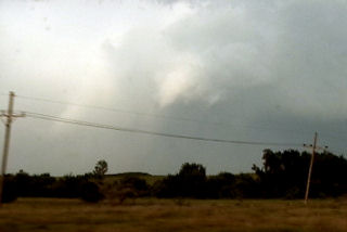
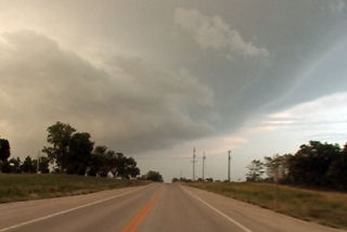
What an event!! After watching model run after model run I couldn’t resist the 1700 mile round trip to eastern South Dakota from Denver to chase this one!!! I arrived in Sioux Falls, SD around 3 PM. I couldn’t decide whether to sit tight, head to southern Minnesota or head west towards the advancing front. Each situation had its positives and negatives. After much analysis and some very quick driving, I decided to head west towards the front, which now was firing a string of supercells along it. I targeted the southern supercell coming across the Missouri river north of Pierre. I caught up with it east of Oneida and what a sight it was!!! It took about 10 minutes for it to drop its first of 7 tornadoes that I saw. The structure was second to none as this beautiful striated updraft produced one tornado after another. The largest and strongest tornado developed southwest of Wessington and tracked southeast near Wolsey to southwest of Huron before dissipating. It stayed on the ground over 40 minutes and resembled the Manchester, SD tornado from June 24, 2003 (which I saw from the south side). Finally, the storm produced one last tornado southeast of Huron as it weakened moving towards I-29.
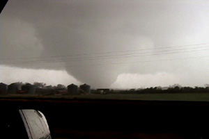
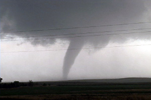
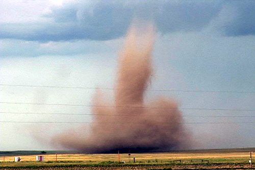
August 20th, 2006 Bennett, Colorado Tornadoes
I wasn’t planning a chase this day. However, as the afternoon progressed an outflow boundary raced south from convection in Wyoming, and intersected the DCVZ boundary that was quite evident running from Bennett to Prospect Valley, Colorado. Good instability, weak shear and the boundary would provide a perfect set up for non-supercell (landspout) tornadoes! And the atmosphere didn’t disappoint! By 5 PM a VERY nice line of towers exploded along the boundary. By 6 PM I had seen 3 funnels. At 6:37 PM the first tornado touched down 4 miles north of my house. It stayed on the ground for 20 minutes before dissipating. The second tornado touched down at 6:54 PM and stayed on the ground for 9 minutes. It was much larger than the first, but outflow from the downdraft of the first cell would kill this tornado much sooner than the first one. At one point in time both were on the ground !
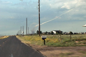
June 25th, 2006 Northeast New Mexico Surprise Tornado
The first day of my North Land Lecture Tour resulted in a “south land” weak tornado! What a surprise! We headed south from Denver and crossed the Raton Mesa, only to see what looked like supercell structure near Mt Capulin volcano. East we blasted and caught up to this cell as it produced a distant weak tornado!! What a surprise!! Later on, a weak LP type supercell formed near Springer and had decent structure for awhile.
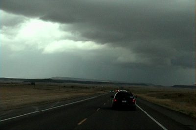
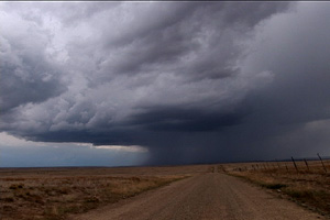
June 23rd, 2006 Northwest Nebraska Tornadic Supercell
June 23rd was a day that had promise for high based storms in western Nebraska. It lived up to its potential and more! We caught the first supercell of the day that formed northwest of Scottsbluff and was a nice LP storm. The second LP storm formed northeast of Torrington and had very nice structure. And finally the storm of the day formed west of the Black Hills in northeast Wyoming and tracked southeast into northwest Nebraska. This storm had beautiful HP supercell structure and produced a couple of short lived tornadoes, one of which is shown below.
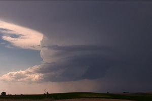
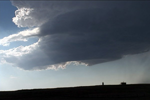
June 20th, 2006 Northeast Colorado Supercells
A few boundaries, good shear and adequate moisture would allow supercells to develop in northeast Colorado and western Nebraska. We first targeted a supercell and complex northeast of Alliance, but when we saw it was a left split we blew it off (mistake as it produced tornadoes!). The storms in Colorado were quite outflow dominant, except for the third supercell which was a respectable classic supercell near Yuma. The Colorado storms never produced tornadoes, but did have nice structure, lots of lightning and hail to baseball size.
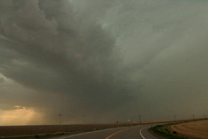
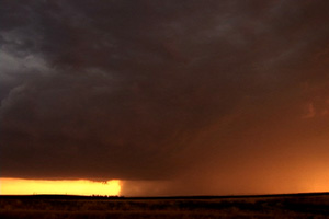
June 11th, 2006 Scottsbluff, Nebraska Supercell
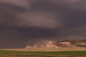
June 11 was the first day of tour 6. We debated on whether to stay in Colorado or head north. Surface flow and moisture was a bit better north into southwest Nebraska. And after a call from Dave Gold, north we headed. We arrived on the scene near the Scottsbluff National Monument to see a beautifully striated rotating supercell sucking dirt off the top of the monument. This storm did all it could to produce a tornado, even with a strongly rotating lowering on the northeast side of the storm. But it never could quite focus long enough to produce. However the structure was incredible!!!
May 5th, 2006 Patricia, Texas Supercell and Tornado
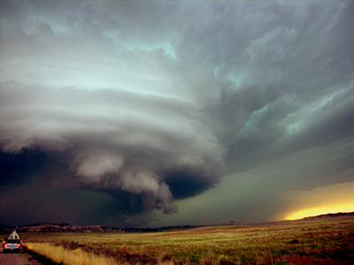
May 5th took us to the southern Texas panhandle for what looked like a decent supercell and tornado day. Strong southwest flow aloft on top of southeast surface winds along an outflow boundary would set the stage for tornadic supercells. By late afternoon storms developed near Hobbs, New Mexico and intensified as they moved towards Seminole, Texas. The main cell entrained too much dry air and struggled until it moved off the dryline. At that point a monster updraft developed and spun like a top. A nice stovepipe shaped tornado formed back in the hail and rain northeast of the clear slot.
April 15th, 2006 Otoe County, NE Tornado
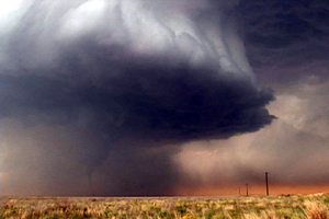
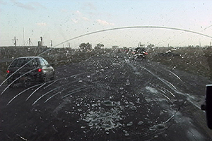
April 15th brought me out to chase. Models were conflicting on the amount of moisture that would be available, but one thing for sure was that all other ingredients would be in place for rotating supercells. By mid afternoon, dewpoints had risen into the upper 50s to near 60F and that was enough to produce strong updrafts which allowed the shear to take over and produce tornadoes. I caught one such tornadic supercell as it entered Otoe county, Nebraska, about 50 miles south of Omaha.
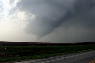
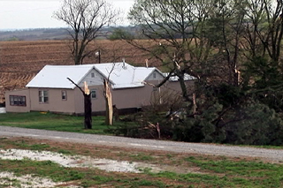
July 3rd, 2005 Surprise Colorado Tornado
Well, what can be said here. Caryn and I were walking out of our house on the porch and low and behold and landspout tornado developed just north of the house under a high based storm which had developed on a boundary. It stayed on the ground for about 3-5 minutes before dissipating.
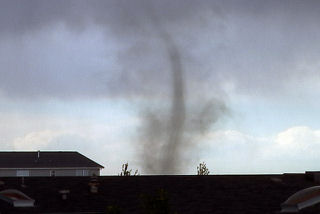
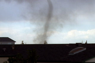
June 30th, 2005 Neosho County Kansas Possible Tornadic Supercell
June 30 was a surprise day! Things did not look that great to start, but intense instability along with an old outflow boundary would provide the focal point for severe thunderstorms. Elevated storms developed during the morning and early afternoon, followed by surface based storms along outflow boundaries later that day. We raced east from Wichita to catch this beast as it became an intense supercell. It produced at least one if not more tornadoes. One tornado was reported after we left it with a damage path of 500 yards!