Tag Archives | tornado

April 28, 2014 – Mississippi Tornadoes

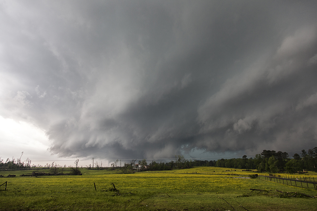
The long quiet period in April came to a crashing halt on this day. A strong trough pushing across the southeast US with abundant low level moisture and shear, would result in a violent tornado outbreak.  After spending the night in Arkansas, we blasted east across southern Louisiana into Mississippi and arrived near the town of Yazoo City, MS as a rapidly intensifying supercell approached. Due to storm motion and direction, we could not stay up with it, so we played the stairstepping approach and dropped south for the next supercell in the line. This one would produce the Louisville, MS EF4 killer tornado. We approached it from the north very carefully as the tornado blew past us at 50 mph hitting a housing subdivision in the south side of town, killing several people. A few of the SLT guests and myself jumped out of the van and started digging through rubble, finding an injured woman and a trapped dog. All ended well, and as the National Guard arrived we left to let them secure the scene and continue to dig through the mess left by the tornado.


August 10-17 Tucson, Arizona Lightning

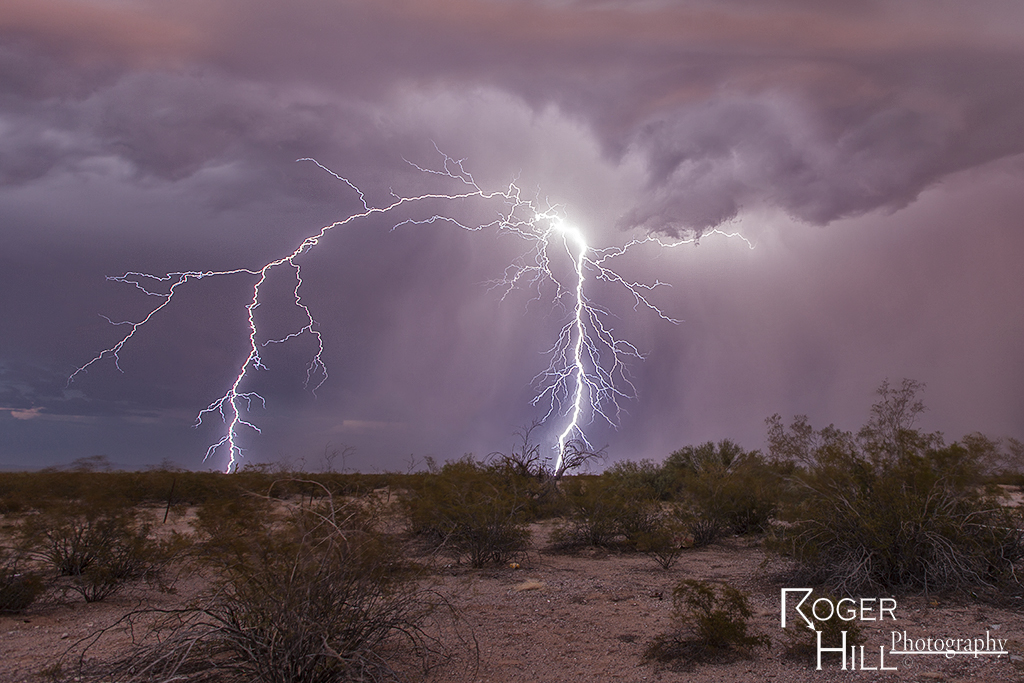
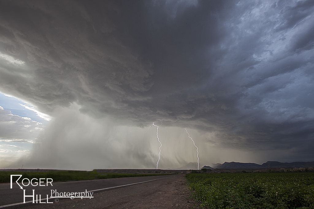
Each year we run two workshop tours for monsoon storms and landscapes. One is based in Tucson and the other in Flagstaff,, Arizona. Here are several images taken during the first tour, from Tucson. It was an amazing 8 days for nonstop storms!! Please enjoy the photos and click on any if you would like to see a large one.  You can also find out more about these tours at www.southwestphotographytours.com , which is our other tour website.

July 15th Regina, Saskatchewan, Canada Tornado Warned Supercell

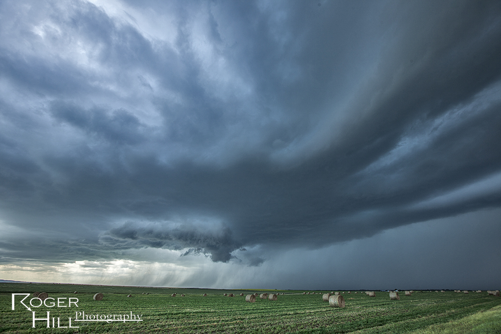
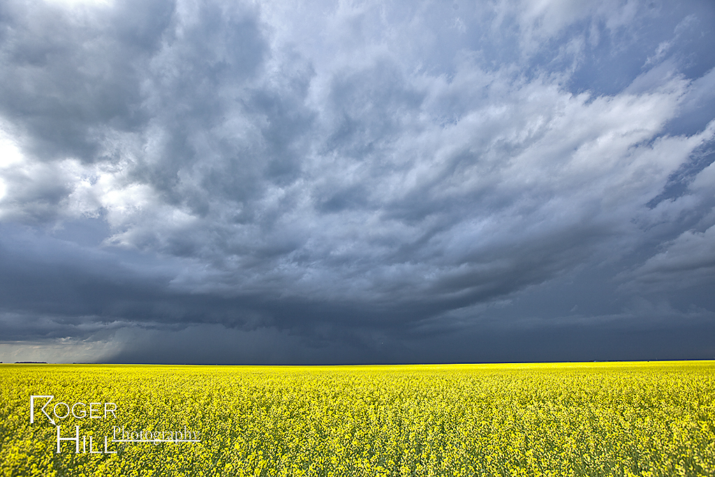
We stayed in Canada for this specific day. Everything looked like a decent tornado event could unfold. Great shear, moisture and instability were in place for a fantastic event. Only issue, a weak cap. This would allow too many storms to form too quickly, which would mitigate the tornado threat. However, we did witness a very nice supercell that likely did produce a tornado that we just couldn’t confirm south of Regina.

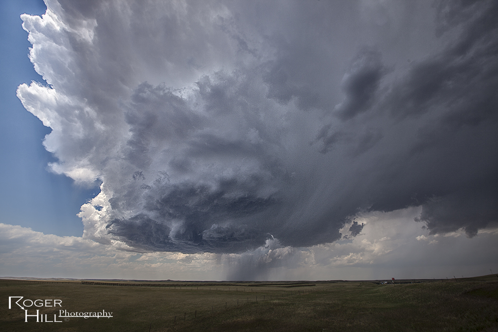
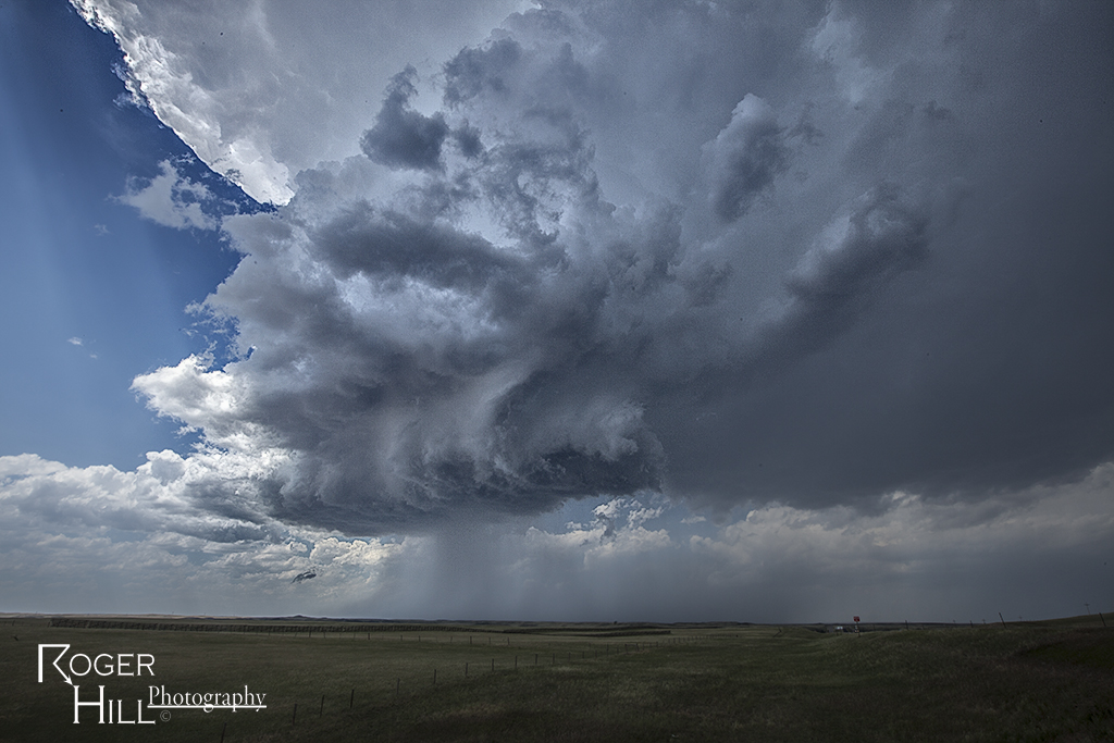
July 13th Western North Dakota Supercell

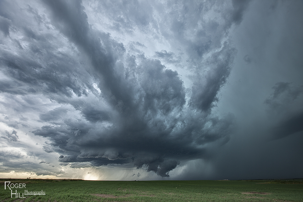
I was torn between playing further northwest or playing the dryline in western North Dakota this day. Decent shear, moisture and instability was available for any cell that could sustain itself under the capping inversion. This cell was the best of them. It came QUITE close to producing a tornado south off Williston, ND. Structure was quite pretty, and the oil fields were evident in the photos! Crazy how much oil exploration is going on up there.

July 12th Southeast North Dakota Tornado Warned Supercell

What a finish to a day that looked pretty doomed. Cloud cover all day kept good insulation from occurring and thus reducing instability. Just south of the North Dakota border, skies were clearer, but shear was weaker. Nonetheless, a supercell, nearly tornadic, formed near Cayuga, North Dakota and became a very nice storm! It was quite electrified and also produced copious amounts of large hail. We watched it form from a towering cu all the way through its decaying stage. What a treat!

July 10th Wyoming Supercell

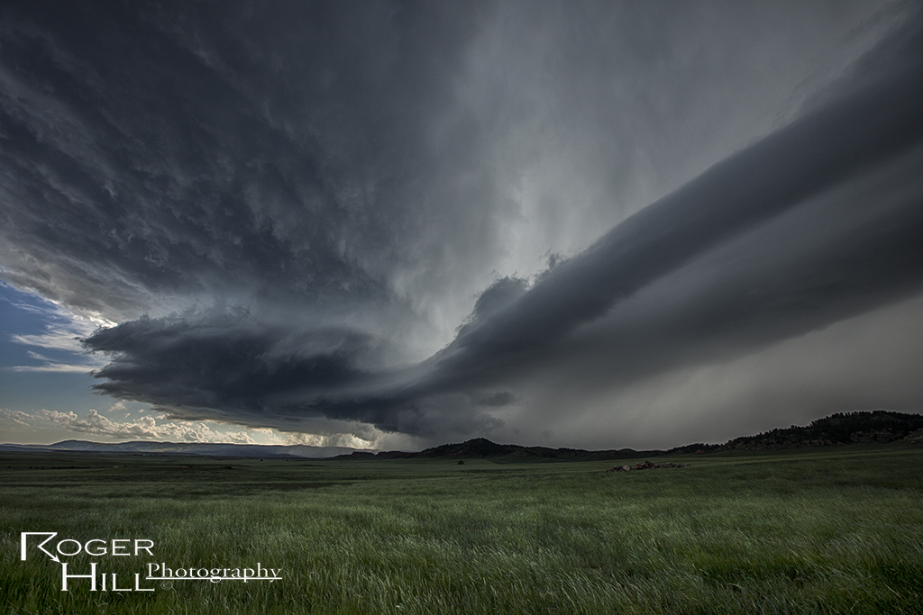
We intercepted a severe warned supercell in southeast Wyoming this day. Decent ingredients were in place to get storms to form in the upslope flow north of Cheyenne. This storm became a wet lp supercell and had pretty decent structure for its 3 hour lifetime.

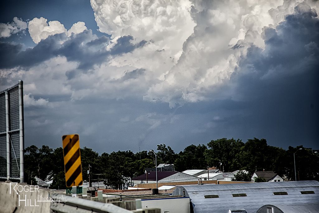
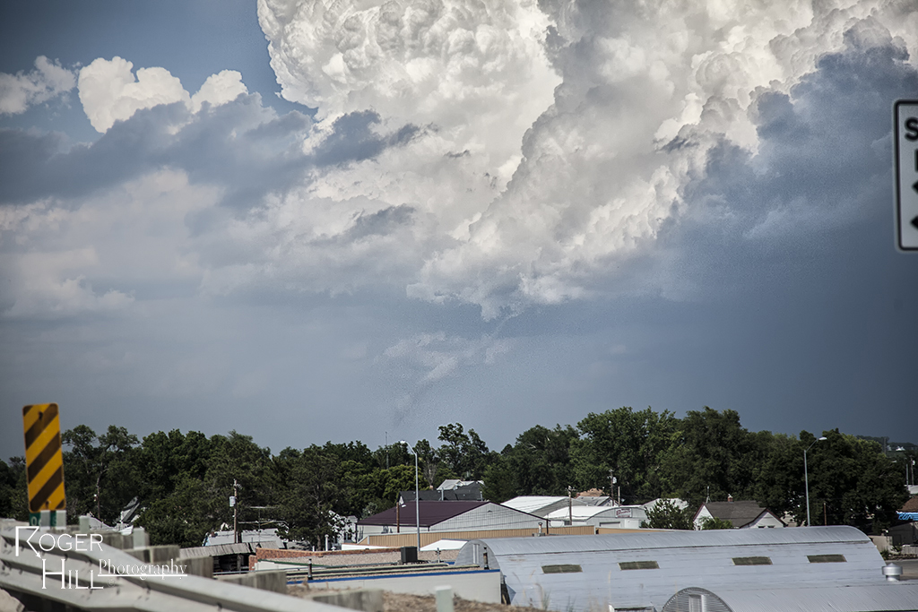
July 9th Central Nebraska Tornado and Supercell

July 9th appeared to be a marginal set up. Shear wasn’t very good, and moisture was fairly lacking. However, moisture pooled along a boundary and winds on the north side of the boundary were easterly, giving a bit of enhanced low level shear. By mid afternoon, several storms developed, with one cell north of Cozad becoming a monster supercell very quickly. The rapid development stretched low level vorticity very fast and a nonsupercell type tornado formed. It persisted for about 5-7 minutes before dissipating. Please excuse the poor quality of the tornado shots as they were taken out the windshield while moving.  Other cells become photogenic (and severe) as we chased till mid evening.

July 7th Lightning Flats, Wyoming Tornado Warned Supercell

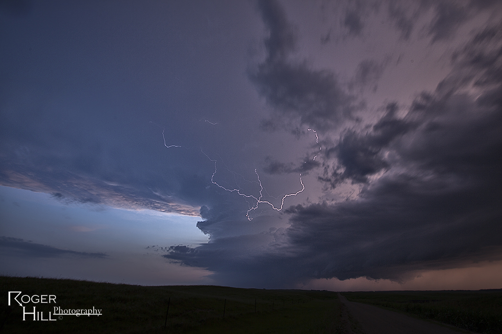
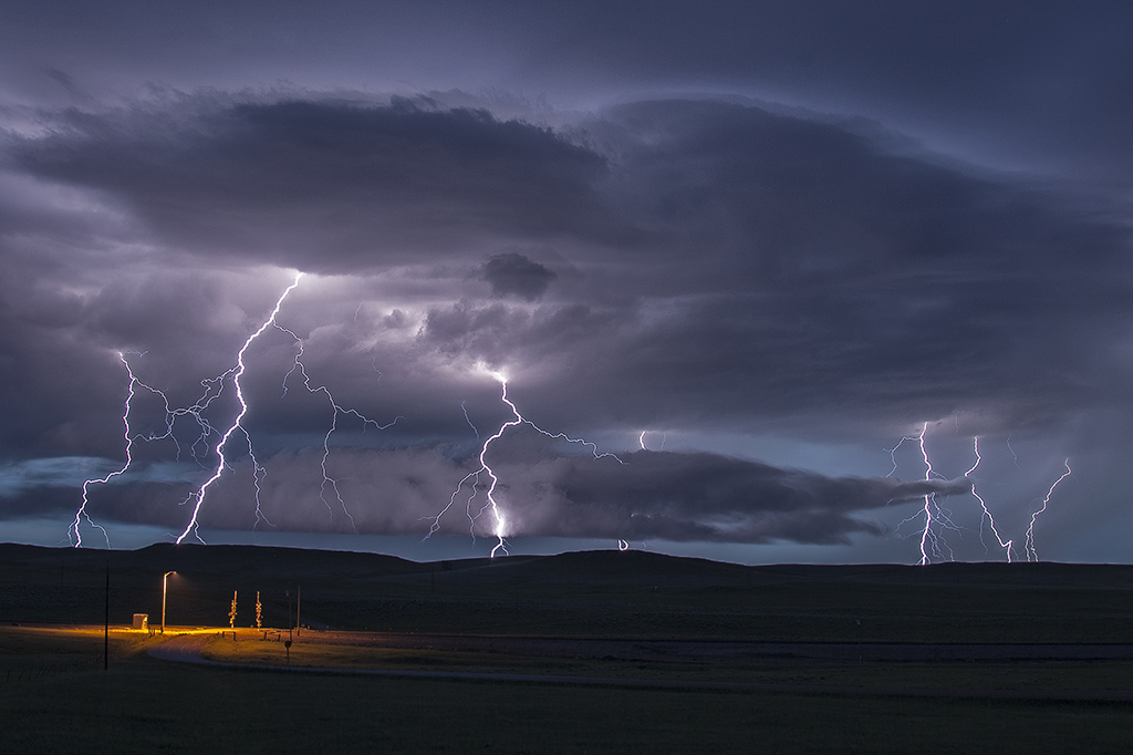
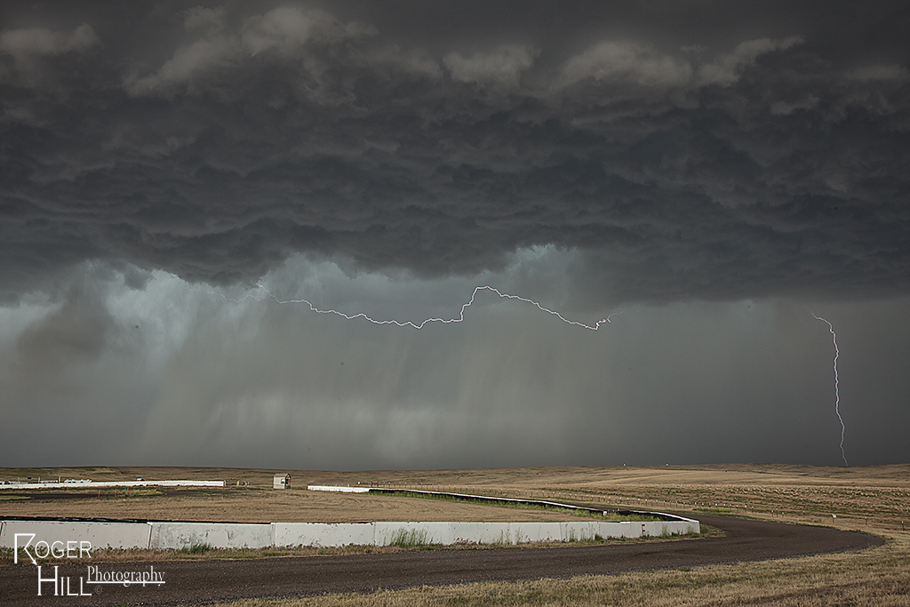
I love chasing in July in the northern plains. It is very scenic and very few people around. July 7th had plenty of moisture, decent instability, good shear and a dryline for convergence. By mid afternoon, a storm formed northwest of Alzada, Montana, and right turned along the boundary all the way to Sundance, Wyoming where it eventually gusted out. It produced a really nice funnel halfway to the ground, as well as nice structure. Near dark, another cell formed southwest of Moorcroft, Wyoming and was an electrified beast! Love those storms that produce cgs every 5-7 seconds!

June 27th Central Kansas Supercell

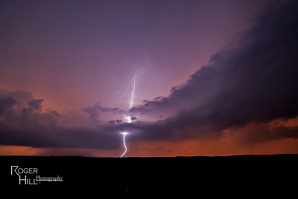
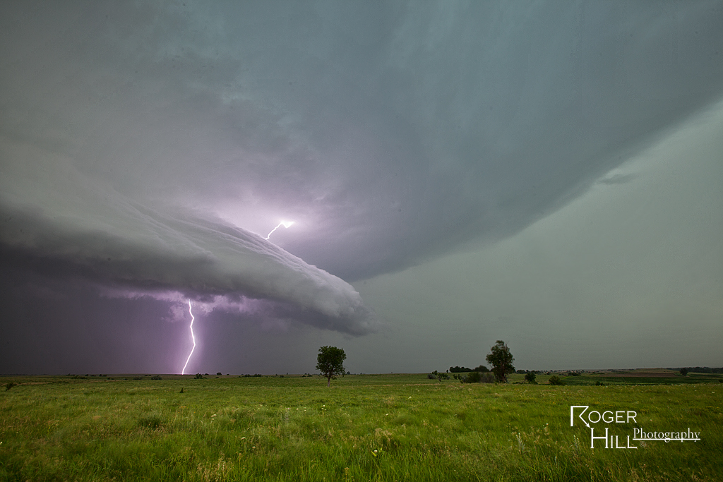
June 27th was an interesting day. Although dewpoints were in the low to mid 70s, temperatures were around 105F! Tons of instability was present, and storms exploded once the cap was breached northwest of Salina. Extremely high winds occurred, as well as hail to golfball sized, but storms congealed into a bowing line as they raced south towards Wichita. Nonetheless, one particular supercell gave us a pretty nice show and had decent structure as well as great lightning.

June 23rd Northeast Colorado Tornado Warned Supercell

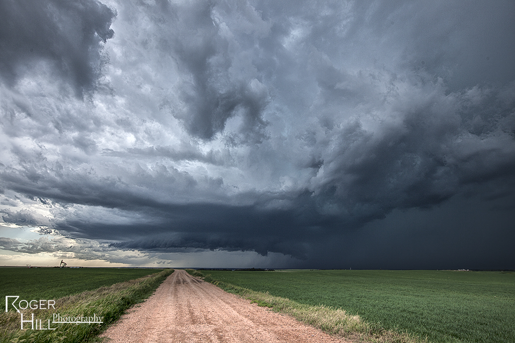
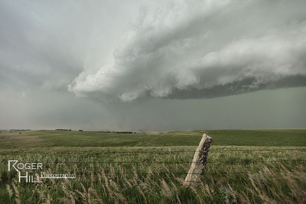
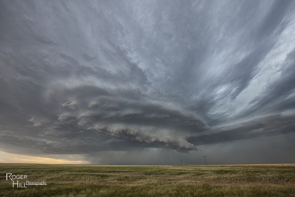
June 23rd featured decent shear, but again, low dewpoints. High based storms developed east of Denver and intensified, becoming severe, as they moved east into better moisture. One storm exhibited supercellular features and even became tornado warned, producing a decent funnel. structure was reasonably pretty and with the fresh wheat fields, was a nice treat.