
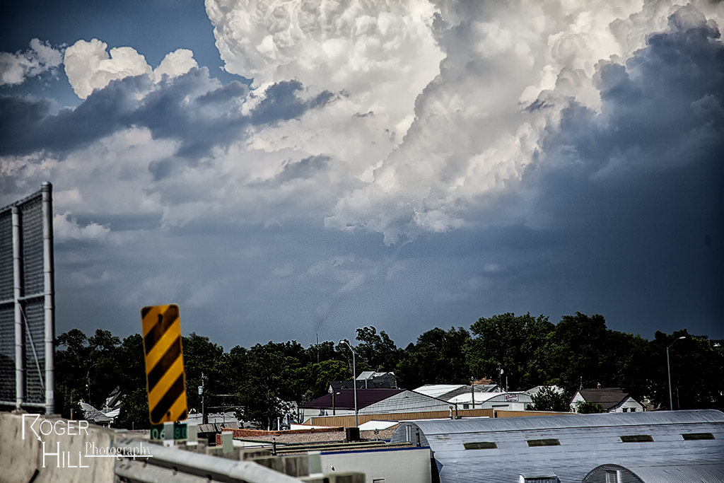
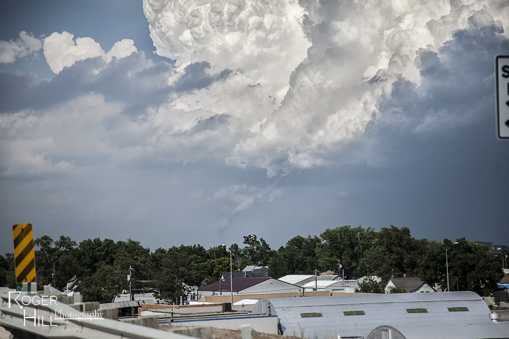
July 9th Central Nebraska Tornado and Supercell
July 9th appeared to be a marginal set up. Shear wasn’t very good, and moisture was fairly lacking. However, moisture pooled along a boundary and winds on the north side of the boundary were easterly, giving a bit of enhanced low level shear. By mid afternoon, several storms developed, with one cell north of Cozad becoming a monster supercell very quickly. The rapid development stretched low level vorticity very fast and a nonsupercell type tornado formed. It persisted for about 5-7 minutes before dissipating. Please excuse the poor quality of the tornado shots as they were taken out the windshield while moving. Other cells become photogenic (and severe) as we chased till mid evening.
No comments yet.