Tag Archives | tornado

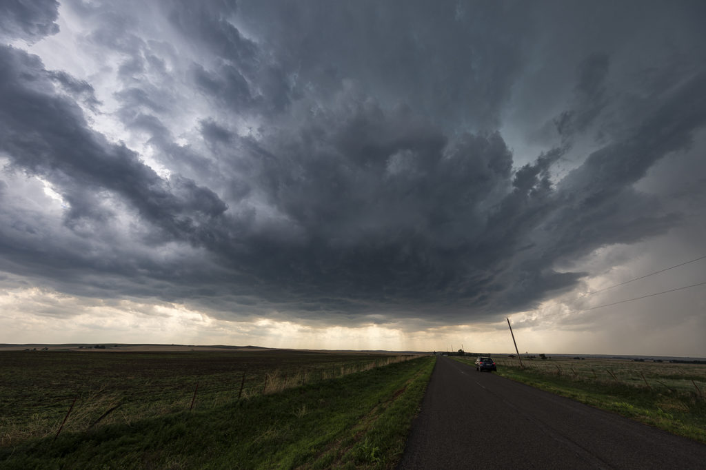
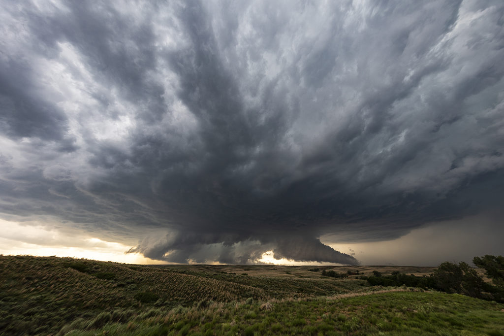
June 26th South Central Kansas Tornado and Supercellfest

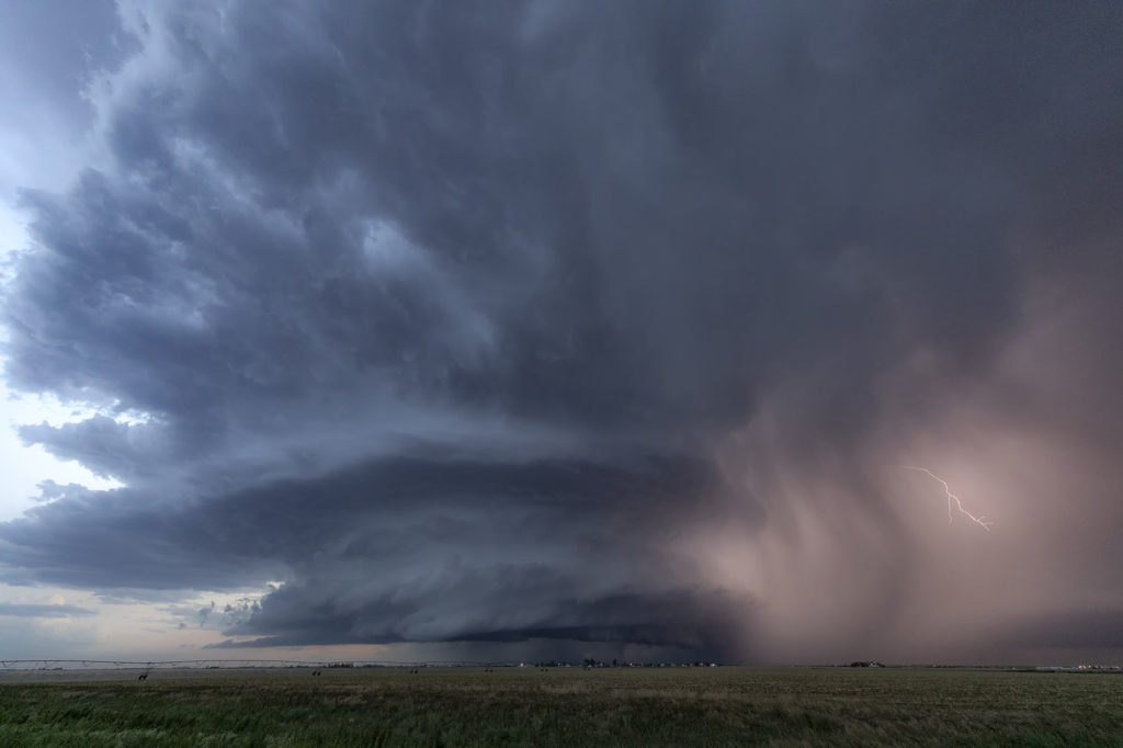
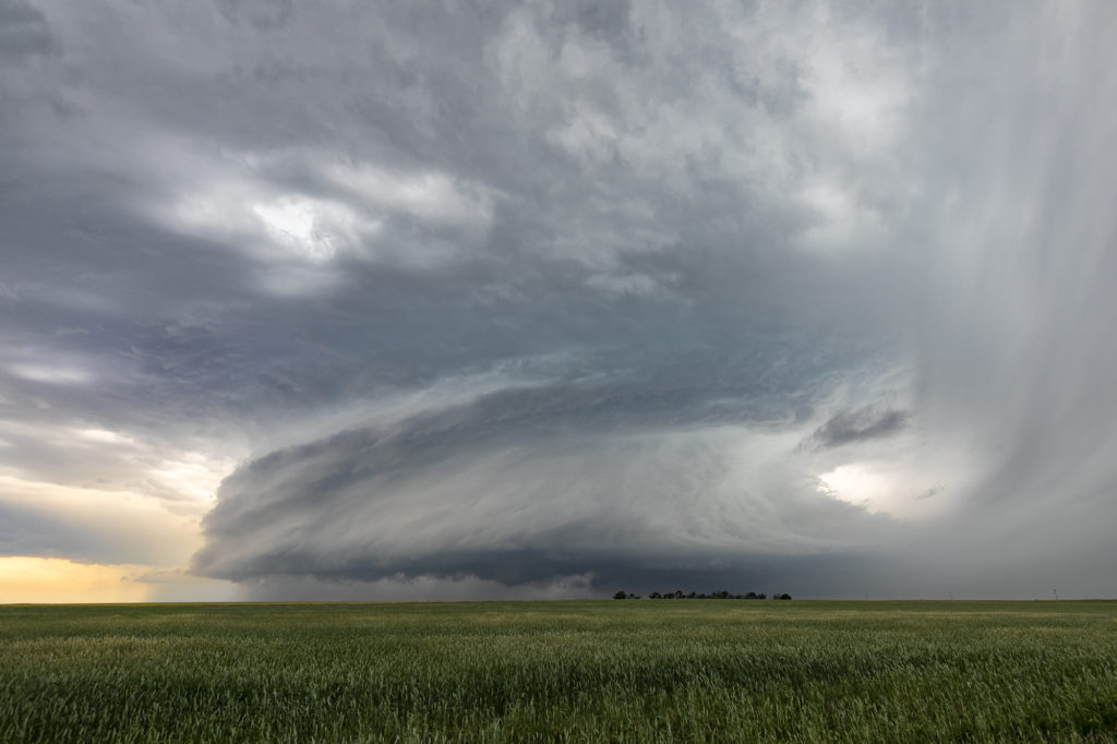
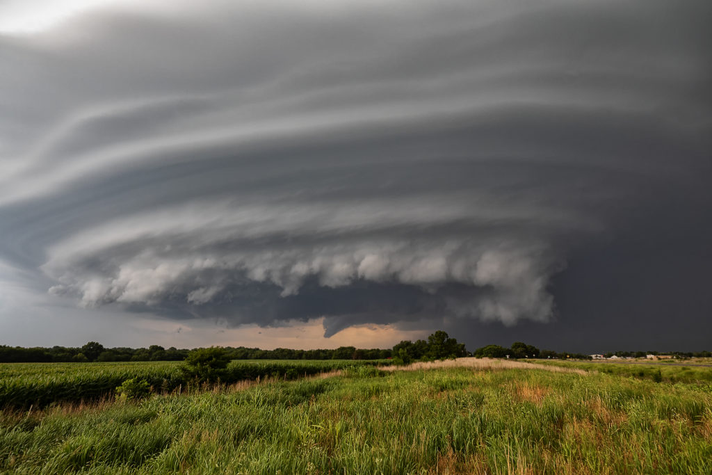
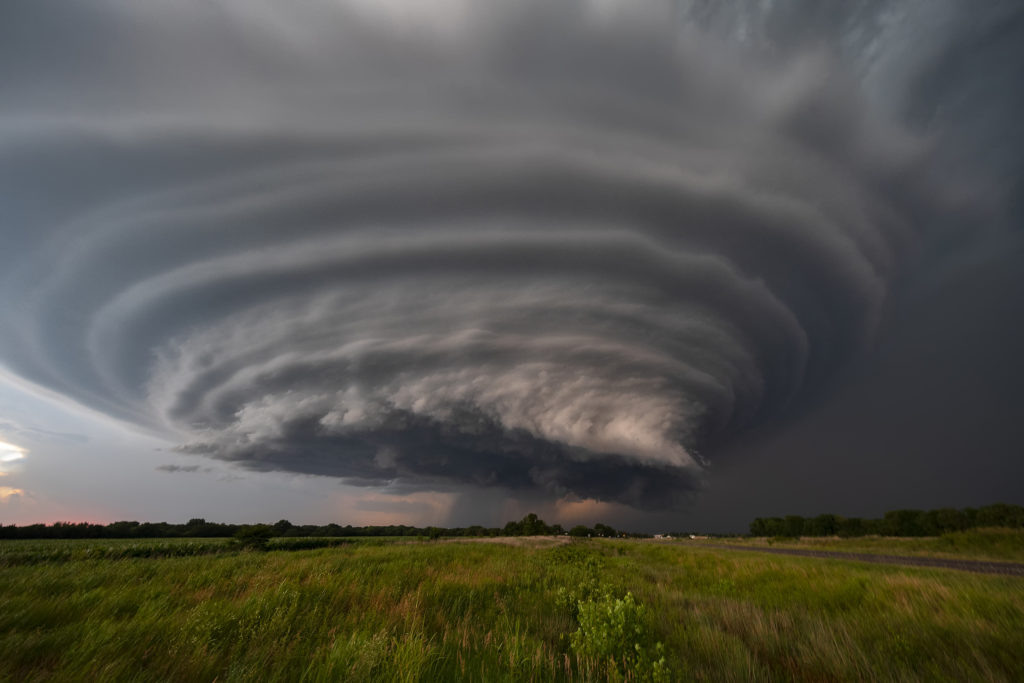
June 26th looked iffy. A mistimed short wave would fire numerous storms early in the day. However it also left an outflow boundary across southern Kansas. Extreme instability, mid 70 dewpoints and moderate shear would fuel and organize storms along the boundary. The first supercell produced a fast rope tornado that was on the ground for 1-2 minutes before dissipating. A second boundary intersected the outflow boundary just east of Wichita and that triple point would be the focal point for 4 distinct and strong supercells. They each produced very large hail to baseball size, copious amounts of lightning, a couple tornadoes and some of the best storm structure one would ever want to see!!! These supercells fired one after the other, and tracked east and southeast along the boundary. The last one of the day by early evening had insane structure and was firing off cgs every few seconds as it was tornado warned for hours! It would rage on for a few hours before dying off as a line of storms formed west. Incredible day for what could have been a total bust due to subsidence behind the early day wave! Enjoy the pics!
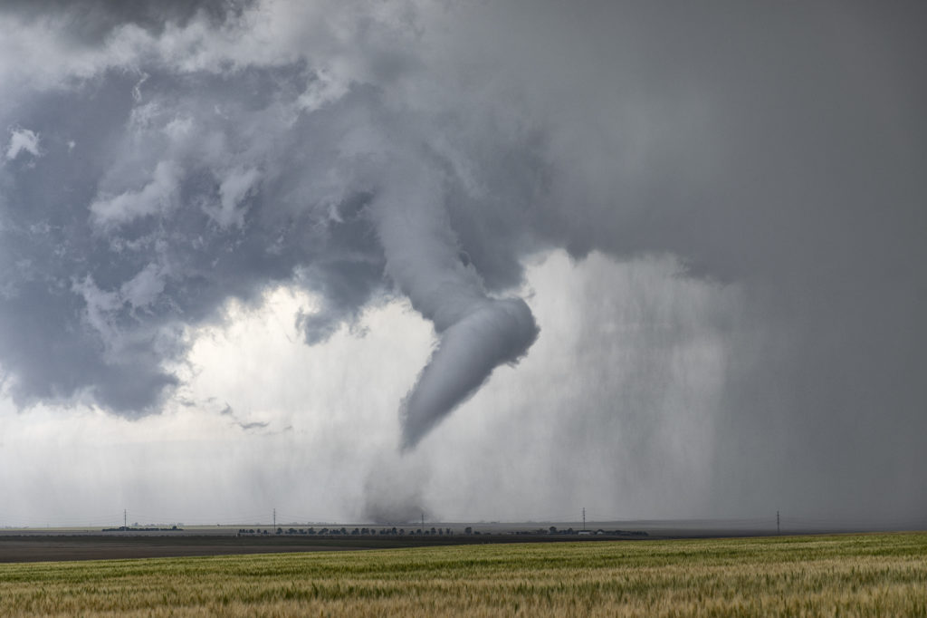
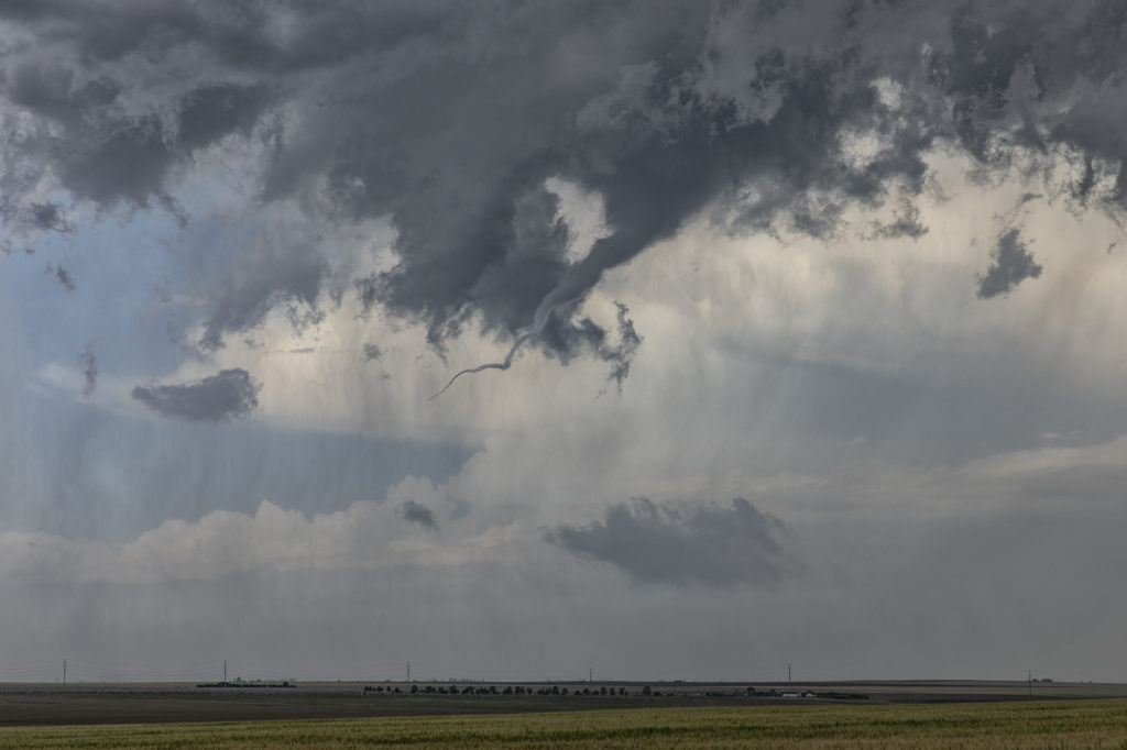
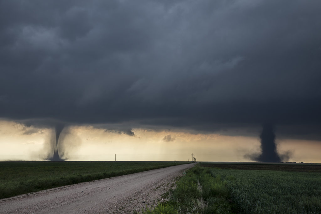
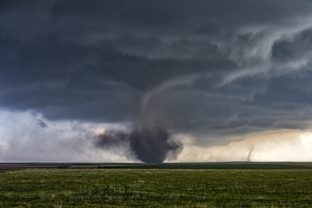
June 19th Prospect Valley, Colorado Tornado

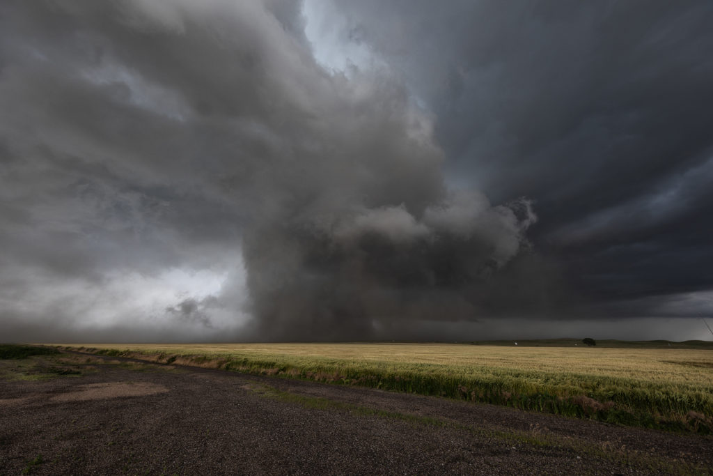
June 19th had tornado written all over it. It didn’t disappoint either! Fantastic wind shear, high CAPE, good moisture for the high plains and upslope flow into the foothills provided all the ingredients needed to get tornadic supercells to form. An amazing sight, 3 significant supercell storms formed at the same time, situated about 50 miles apart. Usually the tail end storm is the cell you want to target, however, an old outflow boundary existed in which the middle cell developed on. It would be that cell that would go on to have amazing structure and produce the Prospect Valley tornado. All 3 storms would become tornado warned during their lifespans. The middle storm we watched grow from a smaller storm to a well structured tornadic supercell as it crossed I-25 and moved eastward. Various wall clouds, each time showing rotation, formed until finally rotation tightened to produce a tornado. A long snaking tornado was on the ground for nearly 10 minutes before roping out. After the tornado, the storm still spun as it moved across eastern Colorado before dying south of Ft Morgan. At that time, we blasted south to Limon and points east as the tail end storm took over the show. It also was tornado warned and may have produced a rain wrapped tornado north of Genoa. Structure was beautiful HP supercell, and it also was highly electrified. By early evening the storms lined out as they moved into Kansas producing high winds and heavy rain. A fantastic day for the tours as nature gave us quite a show!

June 18th Notheast Colorado Supercellfest!

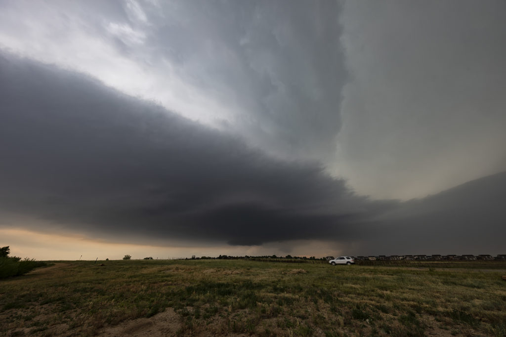
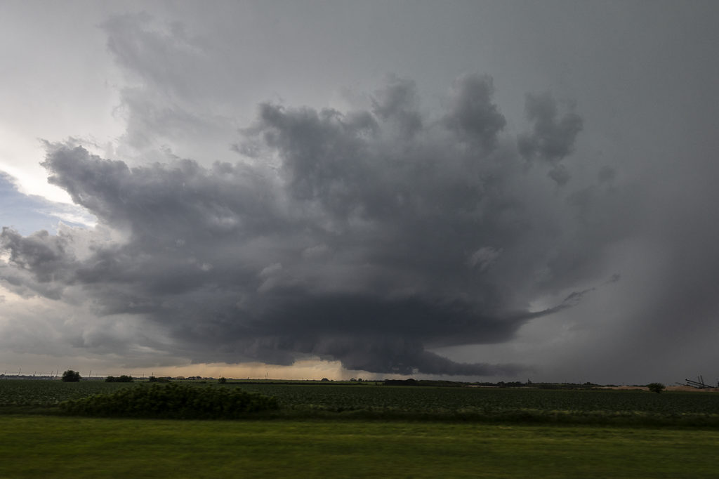
Days like June 18th don’t happen very often.  With good moisture, shear and instability, it was a pretty good bet supercells would form. However, we didn’t anticipate the shear number of supercells that would actually form! A boundary laying east/west across the northern Denver metro area extending into northeast Colorado would provide the needed focus for storm development. One supercell after another formed and tracked along the boundary.  Every different type and structure of storm occurred and made for a photographer’s delight! Sculpted updrafts with good lightning, wall clouds, colors, possible tornadoes, and hail happened! Storms would rage on through the late evening hours before diminishing just before midnight. SLT co-owner Caryn Hill’s intercept of the Roggen, Colorado storm superseded the structure shot she got from the night before near Otis, Colorado! Absolutely stunning sunset supercell! Please enjoy the photos! They were gorgeous!

June 17th Colorado/Nebraska Tornadic Supercells

June 17th had big promise. Great wind shear, good moisture, high CAPE and a dryline and outflow boundary intersection set the stage for what would be a great day! We started in Ogallala, Nebraska and just had to drift westward towards northeast Colorado. Mid afternoon initiation was pretty convincing that supercells and possible tornadoes would occur. The initial supercell spun like mad, dropping baseball sized hail and producing at least two tornadoes. Structure was very pretty, however blowing dirt in the rear flank downdraft area (rfd) would block viewing of the mesocyclone at times. A big dusty tornado occurred near Julesburg, CO followed by another tornado near Big Springs, NE. The cell would eventually gust out northwest of North Platte, NE but not before producing one more small tornado. A fantastic day that produced an awesome supercell. Meanwhile, SLT co-owner Caryn Hill chased locally and intercepted a highly sculpted tornado warned supercell near Otis, Colorado! Probably the best structure for 2018 to that day! Enjoy the photos!

June 11th Eastern Nebraska Tornado Warned Supercell

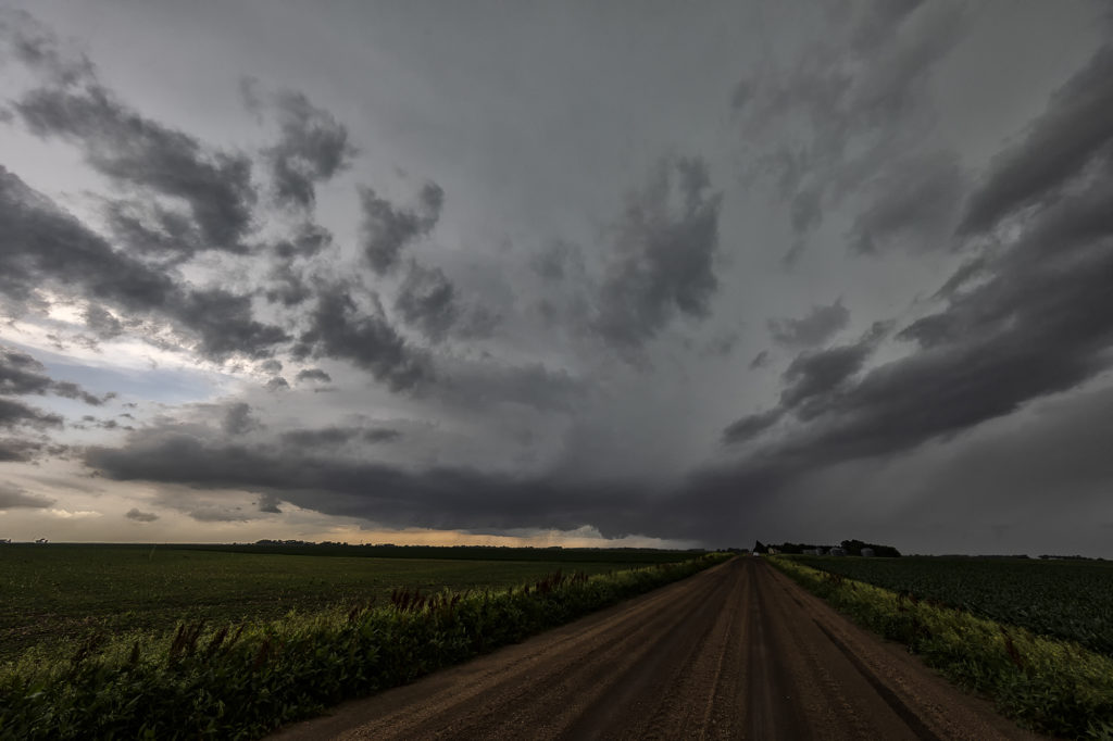
June 11th featured very high surface moisture and extreme instability. A boundary laid across eastern Nebraska and would be the focal point for severe and tornado warned storms this day. By mid afternoon, strong convergence along the boundary would result in rapid supercell development, with one storm in particular near Fremont, Nebraska becoming tornado warned. Shear steadily increased through the afternoon and caused this supercell to spin wildly! It produced a couple funnels, large hail and some wind damage! After a few hours, numerous storms formed and quickly developed into a linear MCS that marched across the area into western Iowa, becoming tornado warned periodically.  A fun and exciting day for the tour that really wasn’t expected just a couple days before! The old motto of never give up holds true!!!! Enjoy the pics!

June 10th Northwest South Dakota Tornado Warned Supercell

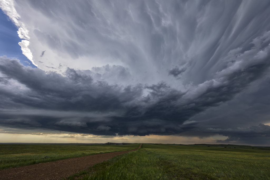
We expected a good day this day in South Dakota! Great instability, near 70 dewpoints, good shear and a dryline/outflow boundary intersection would set the stage for intense supercells late in the afternoon. By mid afternoon, a cluster of congestus formed in northwest South Dakota south of Buffalo. Soon several cells tried initiating there, with one dominant storm taking over the show. It quickly grew to 60,000 feet tall and became severe warned. Structure was decent and a wall cloud, complete with clear slot formed as it became tornado warned. This cell would weaken and intensify several times, but it never seemed a major threat to produce tornadoes. The tornado warning on the supercell continued for several hours, as broad cyclonic rotation occurred. It just never seemed like the rotation tightened enough to produce more than a weak funnel or two. By early evening, the storm lined out with a really pretty shelf cloud that had embedded mesocyclones that also became tornado warned. Still, a fun day, giving us many hours of chasing time on this pretty storm!

June 3rd Central New Mexico Tornado Warned Supercells

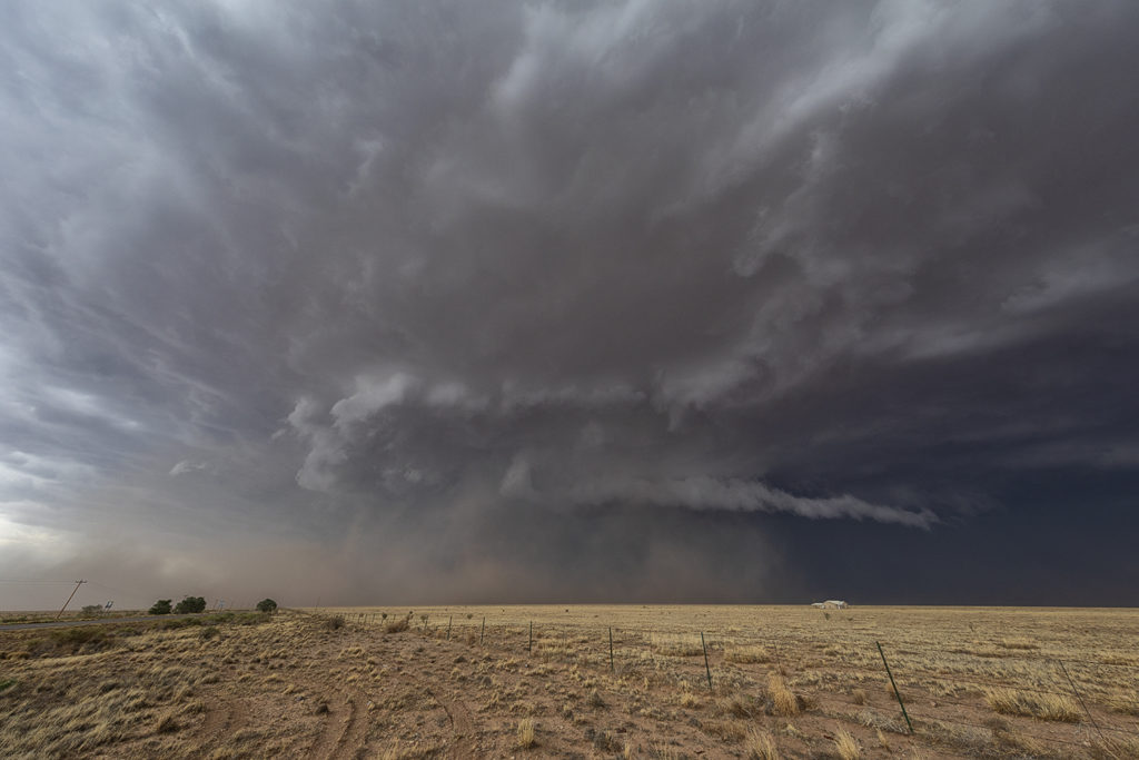
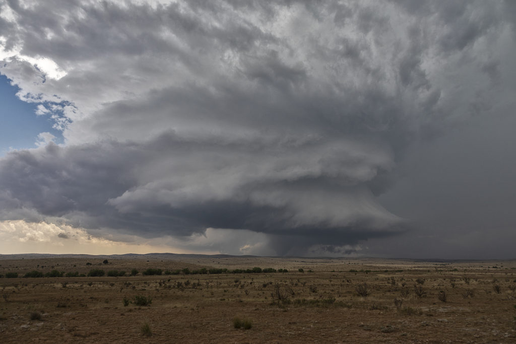
June 3rd was a strange day. Never, in 33 years of chasing storms have we chased a set up in the New Mexico mountains and Rio Grande valley like this day looked like. Decent moisture, good instability and shear, as well as lift along the central mountain chains would set the stage for supercells. As one intense storm rolled off the mountains it started spinning wildly.  It had good structure and a strong gustnado on the leading edge of the RFD wrapping around the back of the storm.  It also produced hail nearly baseball sized as it moved east. As it weakened, it’s outflow produced another storm that became tornado warned. It had classic supercell features and a very low hanging wall cloud that was rotating rapidly. Soon, precip and hail wrapped around the lowering and due to poor road networks we couldn’t get into the notch to see if it was producing anything.  An hour later it lined out producing a nice shelf cloud. Quite a surprising day with 2 intense supercells in an area that is considered high desert and doesn’t get much rainfall each year.

May 29th Northern Oklahoma Tornado Warned Supercell

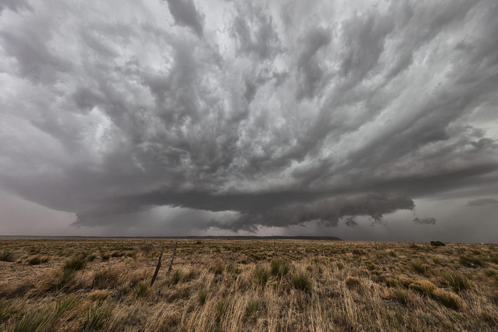
May 29th took us to northern Oklahoma. An outflow boundary and advancing cold front across Kansas would provide the focus for supercell thunderstorms this day. Good moisture and extreme instability, as well as good wind shear would provide the ingredients needed for storms to sustain themselves and be intense. The first supercell formed over northern Oklahoma west of Alva and become severe. Later it would be tornado warned and produce a weak tornado.  The structure was quite pretty and the storm exhibited decent rotation from time to time. However it could not focus in one spot and usually had broad rotation. Nonetheless, it was a good long lived supercell and provided us many photographic opportunities along the way for Tour 5 and the Photo Tour #2! Enjoy the pics!

May 28th Eastern Colorado Tornado Outbreak

May 28th had good potential. An outflow boundary laid across eastern Colorado from north of Seibert, Colorado to Colby, Kansas and points east. Great shear, instability, moisture and lift along the boundary, as well as the dryline extending south from Oakley, would allow numerous storms to form. A couple became tornado warned in far eastern Colorado. One particular supercell anchored itself north of Seibert along the boundary and became a tornado machine. We were on the scene early and watched as numerous tornadoes formed, with up to 3 on the ground at the same time (Total of 11!!). Several of the tornadoes were actually landspouts (nonsupercell tornadoes), however a couple certainly had mesocyclones and were therefore supercell tornadoes. It was an amazing sight for our guests to witness as we were able to get within a mile of a few tornadoes, and within a half mile of one stronger tornado!  Please enjoy the photos from this amazing event!!!!!

May 23rd Roswell, New Mexico Large Tornado

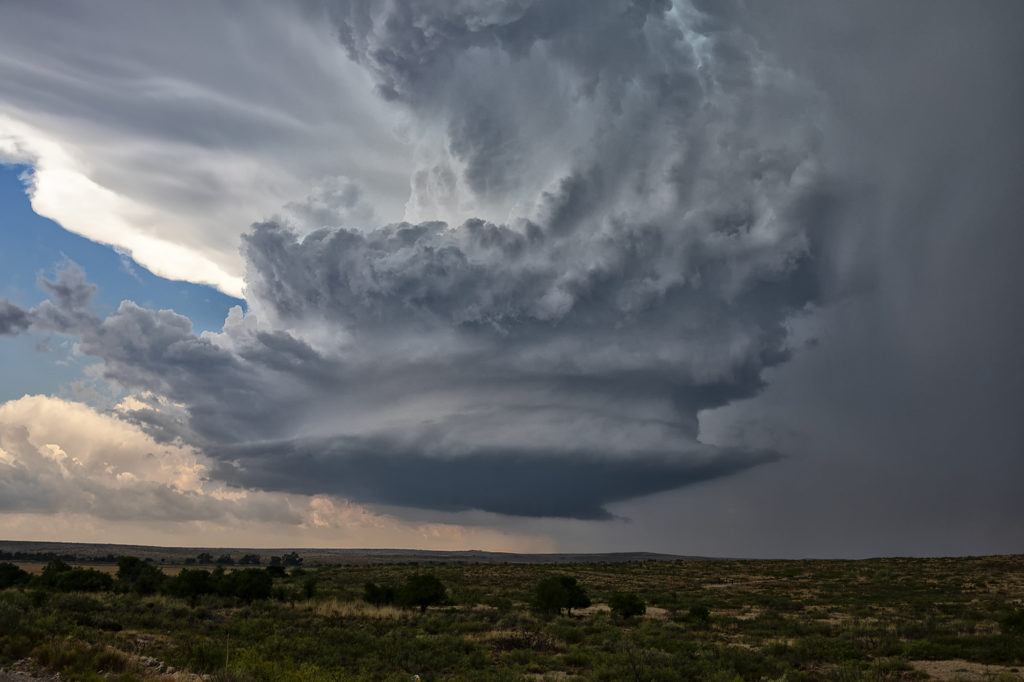
It’s not often you wake up in Roswell, New Mexico with screaming southeast winds and 67 dewpoints.  Low stratus clouds were racing west towards the Sacramento mountains! Even though mid and upper level winds were not particularly strong this day, there was sufficient speed and directional shear to get a supercell to form. We weren’t expecting tornadoes, but with high dewpoints and strong instability we knew the potential existed. Funny thing was most chasers were racing north to play a system in the central plains, but we couldn’t pull ourselves away from Roswell.  In the end, we’re certainly glad we did! There wasn’t another chaser that witnessed what we did this day, with a quarter mile wide strong tornado under an amazing sculpted updraft! This cell produced huge hail as well and rolled across the countryside for hours all the way to Roswell. One of the most rewarding surprise days of 2018 for the tours!!!  Enjoy the pics!! Please don’t forget to check us out on Facebook as well as Twitter and Instagram!