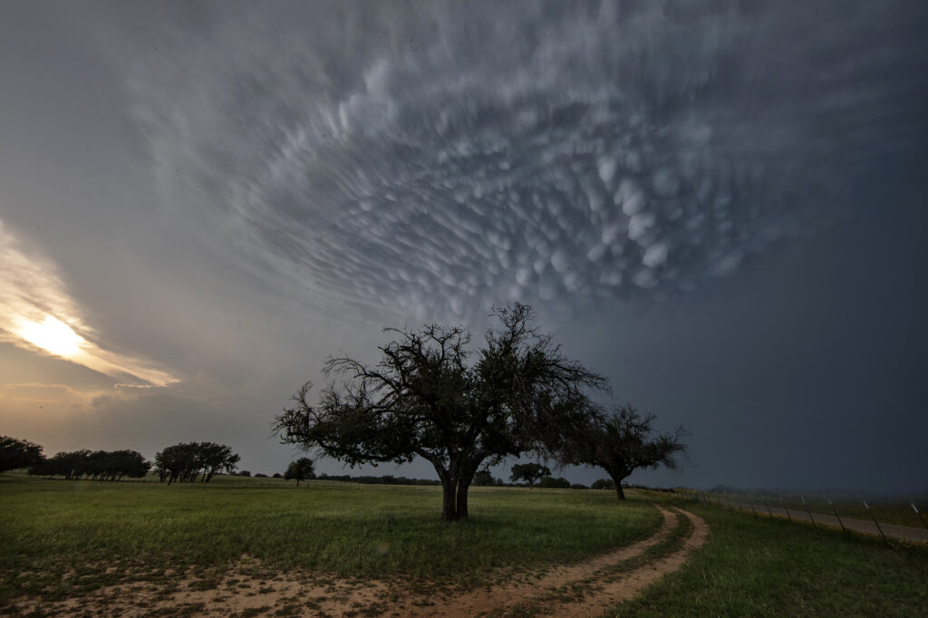
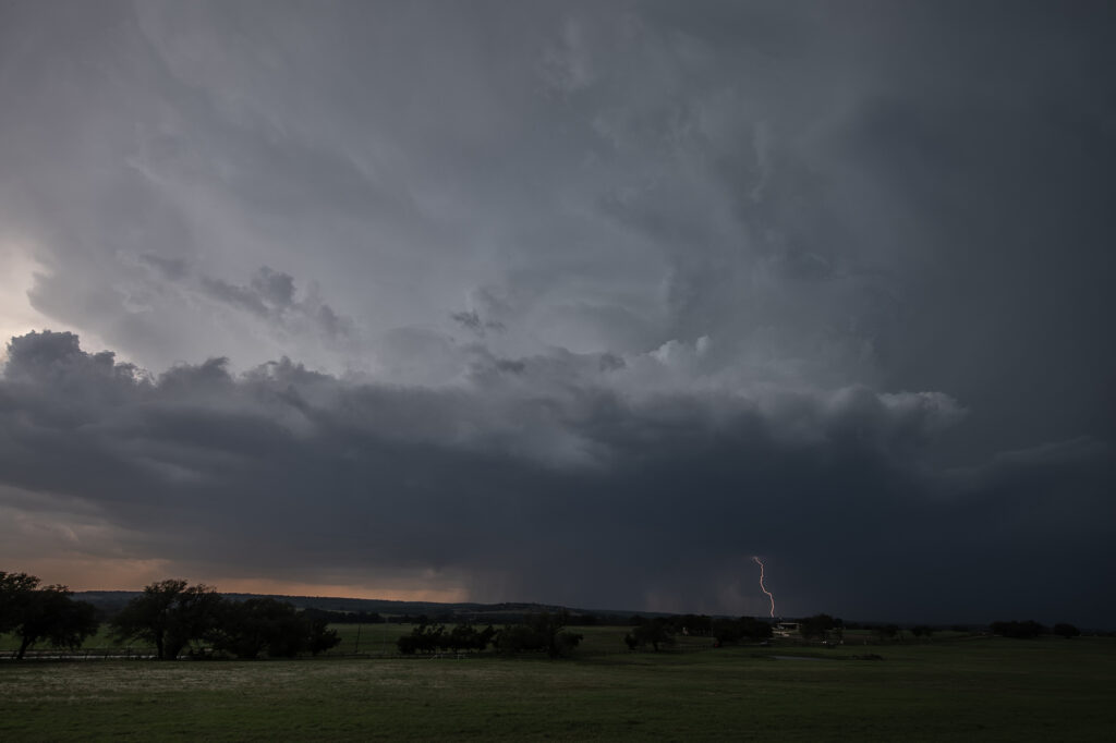
May 5th brought deep moisture into central Texas, along with moderate instability and decent wind shear. Storms formed west of Hamilton and moved southeast. One storm right turned as it started spinning and moved all the way to the north side of Austin before weakening. It had good structure, monster sized hail and was very electrified. It produced stunning mammatus clouds as well. The rotation buried well back in the core was very strong, and it may have produced a tornado that would have been not visible due to the heavy precipitation. Nonetheless, it was a treat to watch and enjoy!
May 4th Crowell, Texas Tornado Warned Supercell
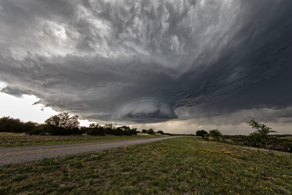
May 4th was a strange day. A decent threat of severe storms and low end tornado potential existed. High based storms formed off the caprock by mid afternoon and moved east. Bases never lowered. Another couple of storms, eventually supercells, formed along a boundary a bit further east southwest of Crowell, TX. Within a few minutes a lowering formed and exhibited some rotation. As the storm moved east, a line of storms formed in front of it, thus limiting the quality of inflow air into the supercell. It caused it to slowly weaken over time. The storm produced baseball sized hail, high winds and was tornado warned for a couple of hours. It showed a fantastic hook echo on radar, but it just couldn’t sustain with cold inflow from storms ahead of it.
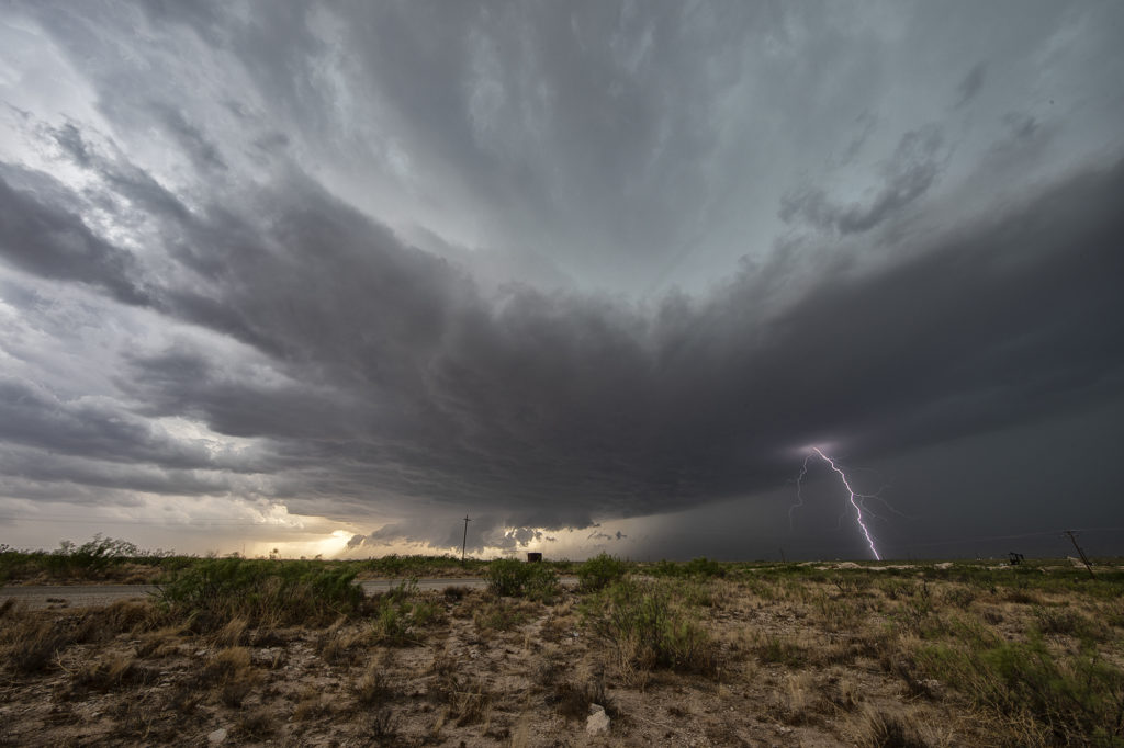
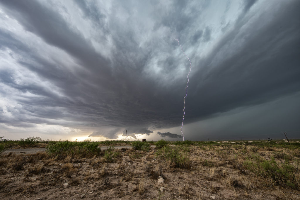
May 2nd West Texas Supercell
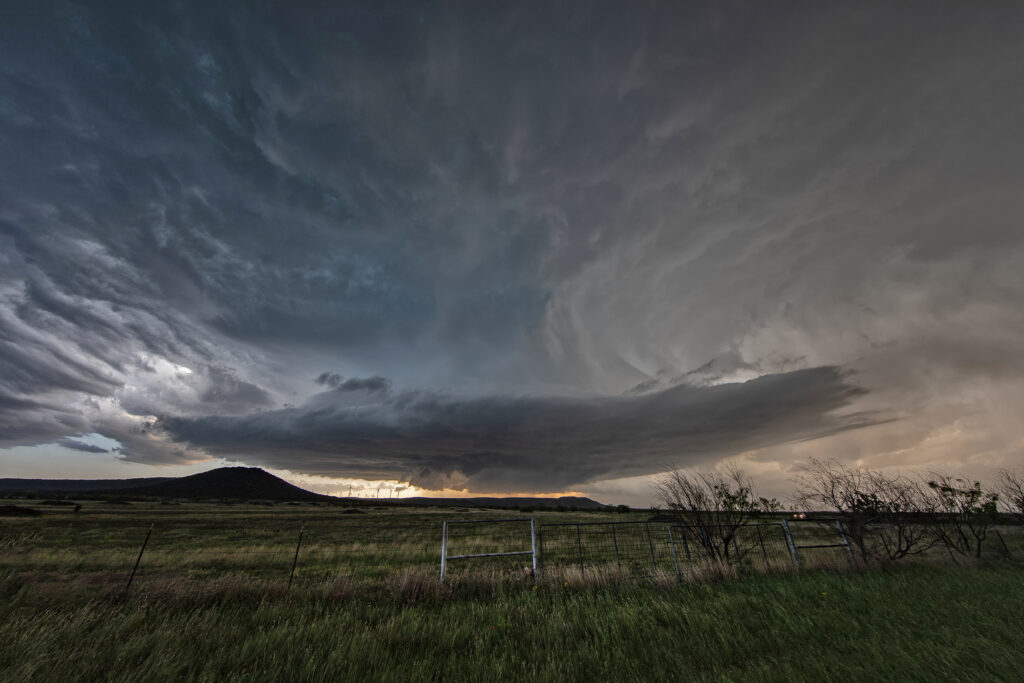
May 2nd wasn’t expected to be a big severe weather day. Limited moisture would cause storms to be higher based with little tornado threat. That’s exactly what happened. Mid afternoon, storms formed along the New Mexico border ad became severe. They produced hail golfball size and high winds. Lightning was pretty after sunset as well. A fun day on a day we didn’t expect anything substantial to happen.
April 25th Sweetwater, Texas Stunning Supercell!!
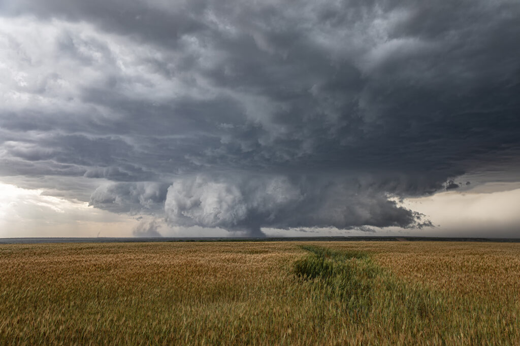
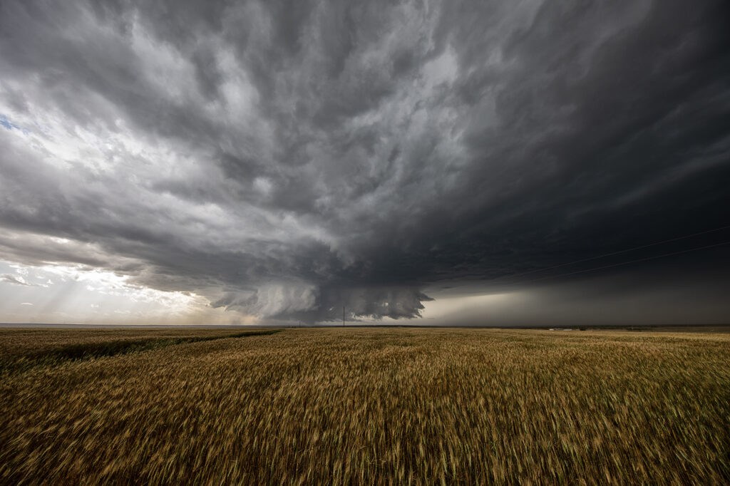
April 25th featured a short wave trough approaching Texas. This lead to a surface trough in eastern New Mexico that helped bring moisture northward from the gulf of Mexico. Southeasterly surface winds raced northwest towards a dryline in west Texas where a weak low had developed. Models were fairly consistent developing storms, some supercells, near the Snyder/Sweetwater area and they nailed it. We approached Sweetwater later in the afternoon as cumulus towers were seen. A high based severe thunderstorm produced a couple shear funnels due to strong motion at cloud base. This storm became a prolific hailer as it moved towards town and eventually to the southeast.
South of town, the structure was magnificent! A sculpted updraft with striations showed just how well organized this supercell was. As darkness fell, the storm maintained its intensity as it moved southeast. Lightning illuminated the structure in the dark and made for quite the scene. Finally, about 10pm we let it go as it weakened and we drove towards Abilene where we spent the night. We came across copious amounts of hail, some close to tennisball sized. A fun day and it’s always amazing to see nature’s artistic side in a gorgeous sculpted supercell! Enjoy the pics!
April 22nd Doole, Texas Potentially Tornadic Supercell
An interesting set up with northwest flow aloft on April 22nd. A weak low along with a sharpening dryline and warm front, set up a triple point northwest of San Angelo, Texas. Moisture would be the issue as dewpoints were in the 50s. Shear was good and convergence at the triple point would fire off a storm that became a long lived supercell. As the storm turned along the boundary, it started spinning strongly. After an interaction with another weak cell which it destroyed, it developed intense rotation, and on radar a classic scorpion tail hook echo formed with a good velocity couplet. RFD dirt was seen wrapping around the southern periphery of the storm and soon a large dirt bowl formed and persisted for about 5 minutes. Tornado? Possibly. But the storm also had hail the size of softballs. It soon moved east into less unstable air with lower dewpoints and it slowly decayed over the next couple of hours. A GREAT way to start the 2023 official tour season with Tour #1, the Close Encounters tour, witnessing this supercell. Enjoy the pics!!!
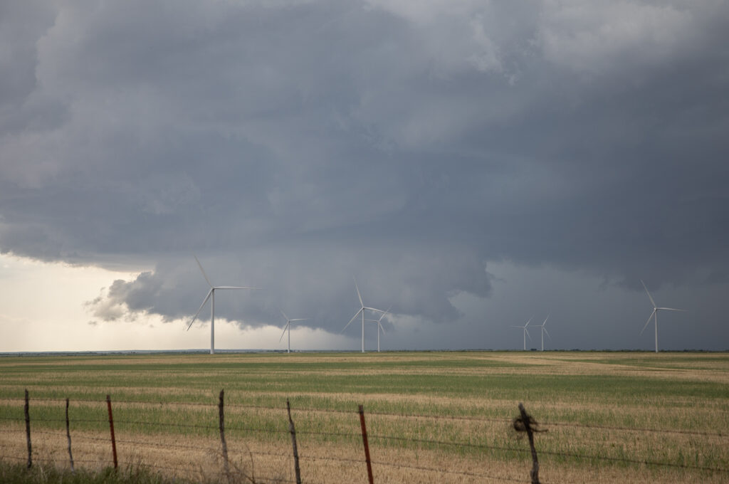
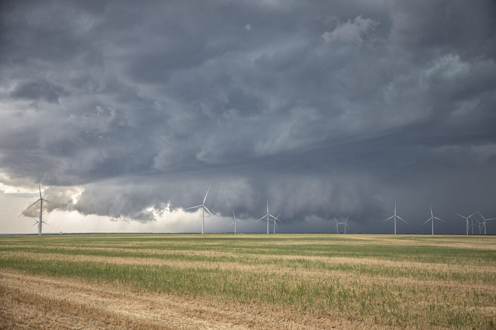
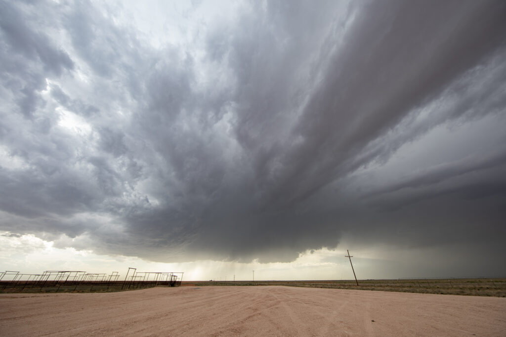
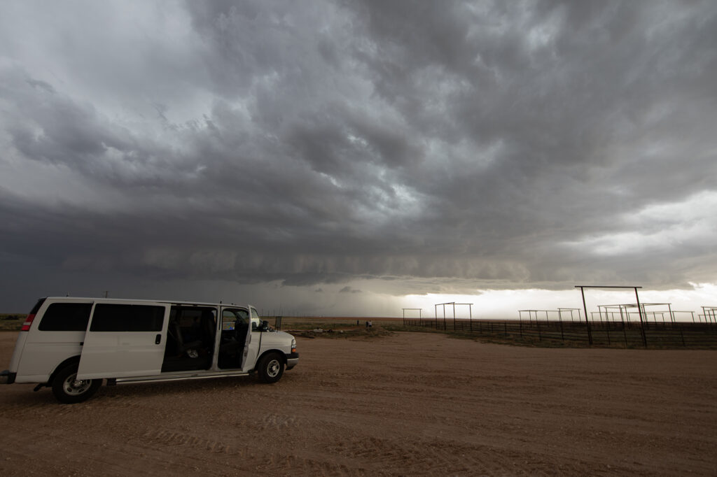
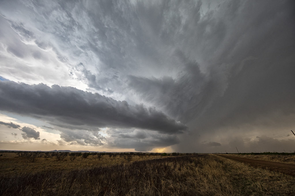
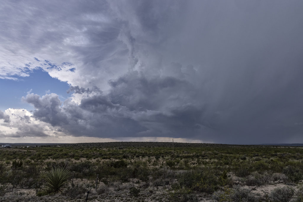
June 1st Southeast New Mexico Powerful Supercell
The first day of June took us towards far southeast New Mexico. A couple supercells developed along the dryline west of Jal and drifted eastward, becoming quite prolific hailstorms. The storm’s structure was very nice and it had a wall cloud throughout it’s life cycle. However, low level rotation was lacking. The cell was an amazing lightning machine producing numerous cgs every minute. As it moved southeast, other storms for and soon a cluster of high based severe storms rolled into southwest Texas. We went to our hotel in Midland and watched as the storm approached from the northwest, with tons of blowing dirt, lightning and hail.
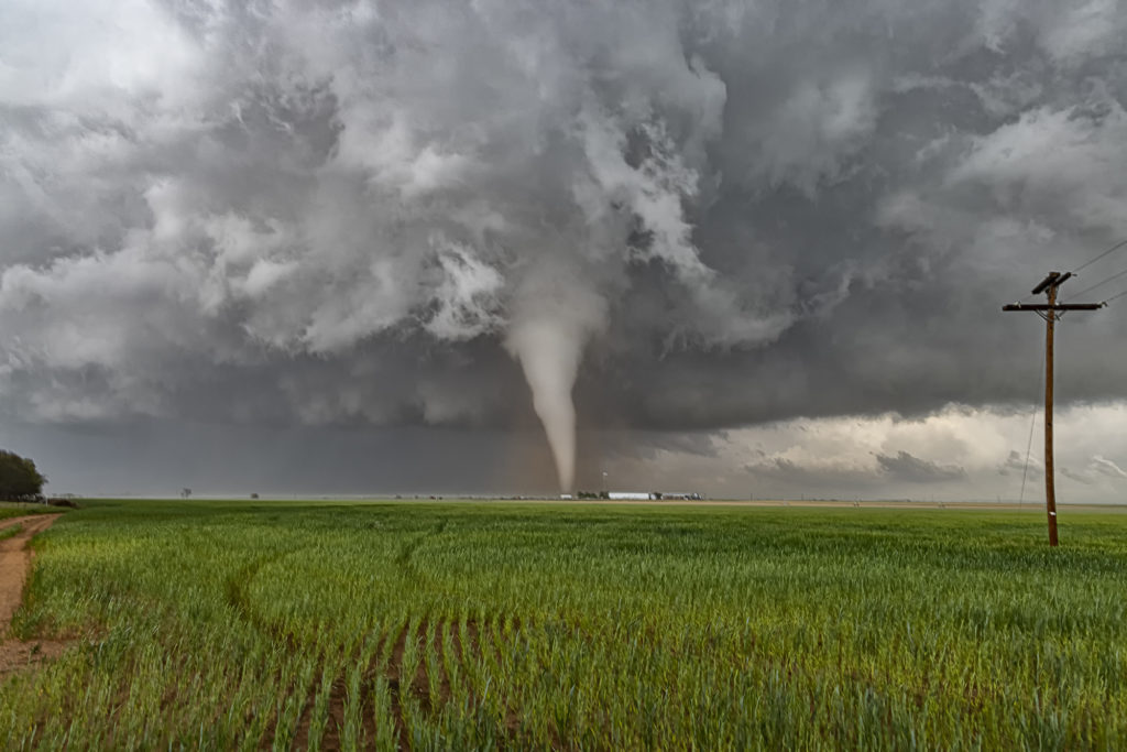
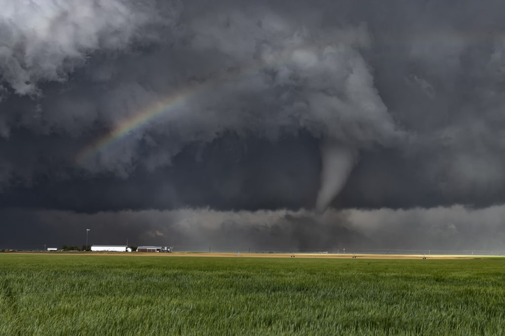
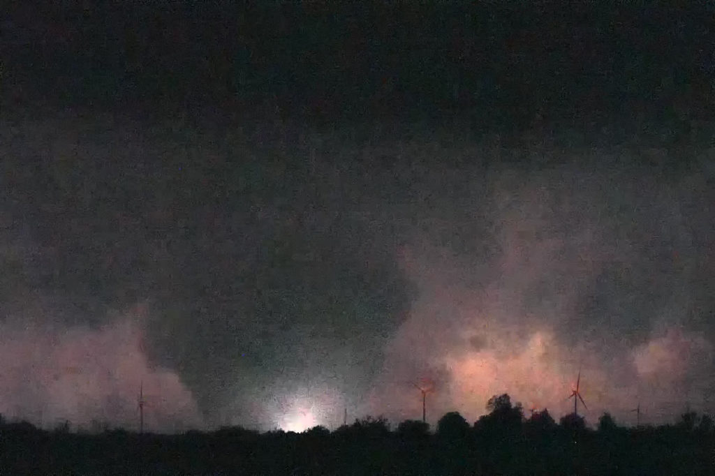
May 4th Northwest Texas Tornadoes
One of the most exciting days of 2022 so far occurred on May 4th. A dryline/triple point was located west of Paducah, Texas as moisture streamed northward. Great shear was also present. By mid afternoon a supercell formed and quickly became severe. It would be the storm of the day and produce several tornadoes. We tried to stay in front of it, but an error in the road map wreaked havoc for us. Maps showed a paved road that would have taken us right in front of the supercell towards Crowell and eventually Lockett, however it became dirt and was blocked off by a rancher with no trespassing signs, which of course we obeyed. This made us have to back track 20 miles on muddy and wet roads through huge hail and then blast east towards Crowell where we would have gone south to get right in front of the tornadic supercell. Due to losing 40 minutes on the map error, we could not go south as the storm was already crossing the road. Instead we went east then south but by that time the 5 minute tornado was gone. We continued east and then back north at Seymour to get in front of the supercell. It was now becoming dark as lightning constantly lit up the updraft. South of Vernon we stopped to watch the storm as a truncated cone tornado formed and crossed the road in the night directly in front of us. Then numerous power flashes were observed just northwest of us and lightning lit up a wedge tornado that hit the town of Lockett. We watched as this monster EF3 tornado roared across in the darkness, only lit by lightning and power flashes. It eventually dissipated as the storm weakened. Crazy day, and one stroke of bad luck due to a error in mapping software kept us from a pretty tornado. However, we still witnessed 4 others! Enjoy the pics!
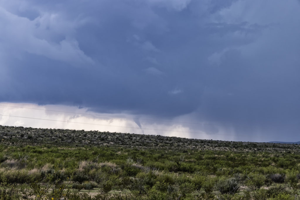
May 31st Ft Stockton, Texas Tornadoes
May 31st took us to the Davis Mountains of southwest Texas. Good upslope flow, along with ample moisture and instability, would provide the needed ingredients to get tornadic storms to form. Good low level wind shear caused this supercell to spin like a top, and as it moved off the mountains into the nearby terrain, it produced 3 tornadoes that we could see. The road network is very poor in this part of Texas, so you had to position yourself where you could see what was happening. Most of the time we were at least 10 miles away from the tornadoes because of this. Nonetheless, it was a spectacular sight to watch this storm roll across southwest Texas. Enjoy the pics!
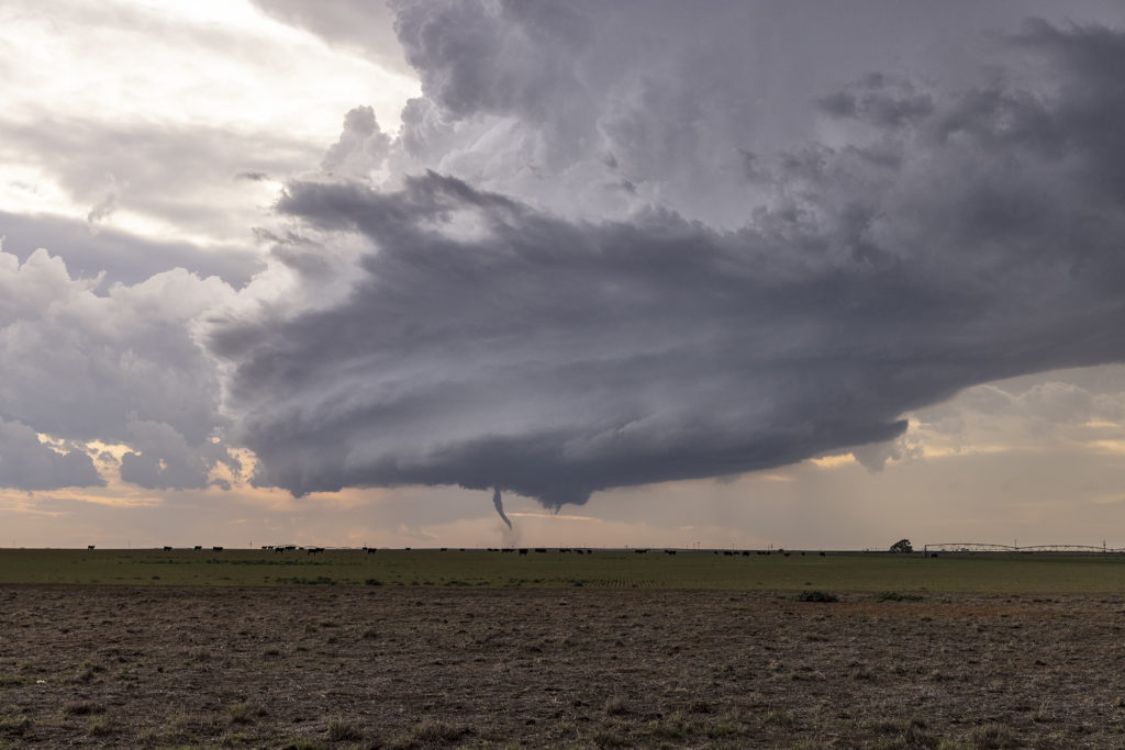
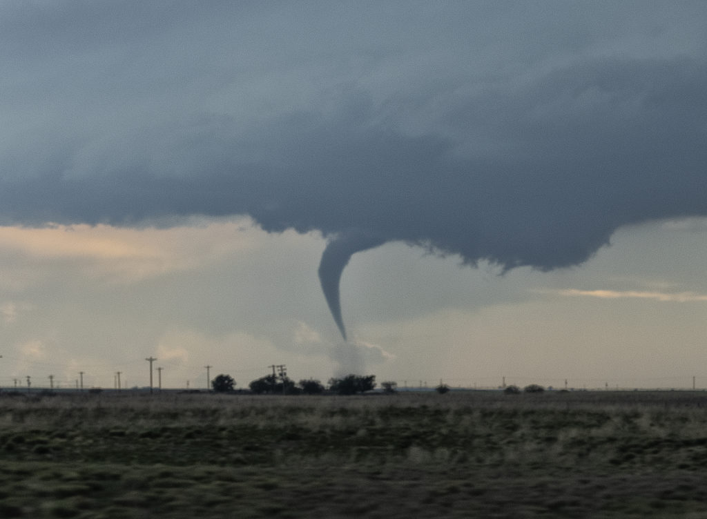
May 16th Sudan, Texas Tornadic Supercell
What do storm chasers and cattle rustlers have in common? Well, we found out this day and it almost cost us a pretty tornado! Seems the locals didn’t know that we were storm chasers and called the county sheriff to report us as suspicious parties and potential cattle rustlers? WHAT???? Seriously! We were pulled over by the sheriff and local police and asked who we were and that we were potential cattle thieves. After proving who we were with the sheriff, who also asked for a business card, we were turned loose and blasted west to this tornadic supercell. We ended up 10 miles away from the tornado as we lost 25 minutes with our cattle rustler situation, but we still captured the beauty of the event! Storms initially formed as high based and disorganized, but a feed of moisture arrived just in time to cause this storm to explode. It also spun quickly and dropped a nice elephant trunk shaped tornado. The storm structure was top notch as this LP supercell churned on through the evening. A great treat, an interesting day to say the least, left our guests with stories to tell LOL!!! Enjoy the pics!
April 23rd Northwest Texas Tornado Outbreak
April 23rd kicked off our storm chasing tour season and what a way to start! After leaving Oklahoma City at noon, my target was the triple point somewhere near Childress, Texas. Mid afternoon, updrafts formed and quickly became severe and tornado warned. It tried on the first tornado warning to produce one, but shear just wasn’t quite right yet. Decent moisture for late April with mid 60s dewpoints, as well as 3000 CAPE was sufficient to get intense supercells to fire. I had a hunch this storm would be special
and we stuck with it the rest of the day.
Between the bluebonnets in full bloom and the developing supercell, it made for an amazing scene. Soon, though, we we treated to an even more spectacular view, as our supercell latched onto the boundary and the low level jet cranked up causing it to produce 6 tornadoes in a little over an hour, while drifting very slowly eastward! A few of these, in the photos below were incredibly photogenic!! An amazing way to start Tour #1 and our season off! Please enjoy the images!!!!
Here are two cool videos form this day too!