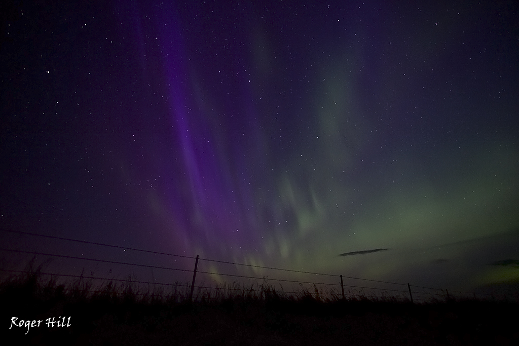
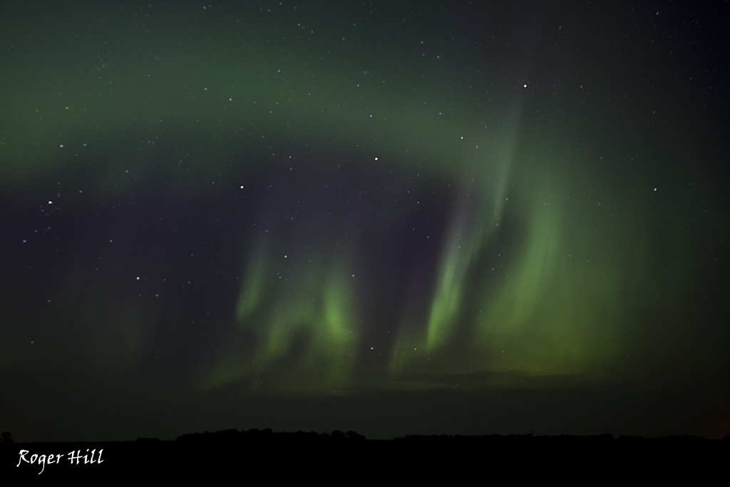
Not a ground based storm, but the Aurora was quite vivid this night. We were in northern North Dakota after chasing a tornado warned supercell that died very fast. These shots are much better than the supercell 🙂 This display went on for several hours. Stunning!
July 17th, 2011 North Dakota Tornadoes
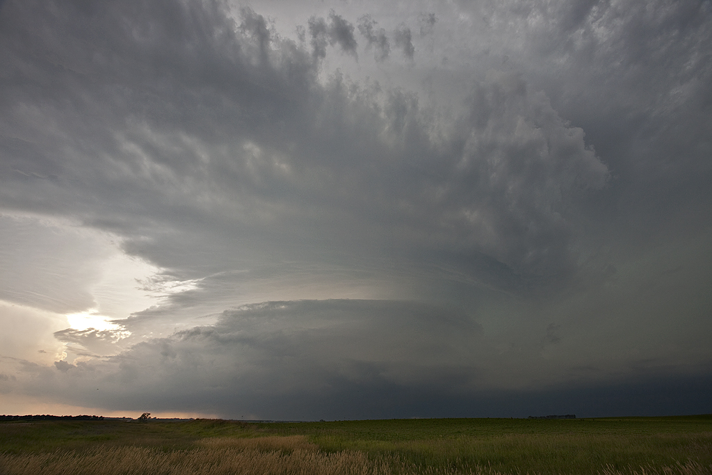
We started EARLY in the day on July 18th, with a tornado warned supercell riding along and slightly north of an outflow boundary from previous night’s convection. This storm had that slightly elevated look but still was tornado warned almost its entire 6-8 hour life cycle from around 10am till about 4-6pm. It did produce one tornado we could confirm. We eventually blew it off and headed for another supercell, a big beastly HP storm, south of Jamestown, ND. This storm produced an EF3 tornado north of Berlin, ND, and was a monster. As this storm lined out, another tornado warned supercell formed on the outflow from the Berlin storm and became briefly tornado warned.
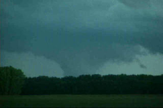
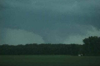
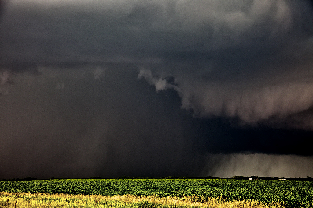
One thing to note, the first two photos, the Juanita, ND tornado, are from a friend who was with us. The menacing photo of the Berlin storm and rain wrapped tornado was nuts! During that shot there were amazingly rapid rotating rain curtains that you can see rotating from left to right (south to north). The tornado was occasionally partially visible through the wrapping rain curtains.
July 16th, 2011 North Dakota Tornadofest
July 16th was probably my favorite chase day of 2011! We ended up in Bismark, ND, located just northeast of a mesolow and along a weak boundary that extended towards Grand Forks, ND. We ate lunch and waited in a local mall where it was cool. Temp and dewpoint were INSANE this day with my weather station reading 91/82! Crazy obs! The SPC mesoanalysis page showed a Sig Tor value in the teens and supercell composites in the 30s. Great number and not surprising based on the environment. With decent 500 mb winds aloft and respectable low level shear, we knew if any storm could get going in the capped environment, it would likely be a supercell and have a definite tornado potential. By mid afternoon, towers developed along the boundary and late afternoon, our supercell, the storm of the day, would form. Made it really easy for us to intercept since we were basically 30 miles from the congestus that ended up growing into our tornadic monster.
By 4:15 pm, our storm had developed a good updraft and downdraft, and it immediately developed on skinny pencil funnel that extended halfway to the ground. At 4:30 pm, a major wall cloud had formed, and was developing strong rotation. At 4:33 pm the first of 4 tornadoes touched down. It lasted until 4:38pm when it dissipated. The storm quickly cycled and dropped another much more significant tornado at 4:41pm and lasted until 4:55pm. This tornado was much stronger and developed a significant debris cloud. Both of these tornadoes occurred just northeast of Regan, ND. After the second tornado dissipated, the storm started its cycling process again, and this lasted quite awhile. It never looked like it would produce another tornado while we maneuvered to get back in front if it (lots of flooded roads to work around!), and it pummeled us with hail to golf ball size.
Finally, south of Bowdon, ND, we were able to get back in front of it and dropped south about 8 miles to get a view of the updraft. It looked in a considerably weakened state, with a strung out updraft and smaller core, but it managed to drop a truncated elephant trunk shaped tornado about 10 miles to our west. It was briefly on the ground, 2 minutes and fell apart. The southern end of the storm became very well organized as a lowering formed directly west of us and started spinning as it approached our location. You could hear the waterfall sound as the RFD blasted around the now rotating wall cloud. A substantial cone shaped funnel formed at 6:25 pm and touched down a mile to our northwest at 6:29 pm. It stayed on the ground and morphed from a truncated cone, to “Wizard of Oz” type tornado, to a stove pipe and then an amazing double walled beast as it passed less than a mile to our north! What an incredible tornado! At 6:41 pm it dissipated and the storm rapidly weakened.
At that point, we decided since we needed to be in Grand Forks for the night, we would leave our dying storm and head towards Grand Forks, only to be greeted by a tornadic supercell east of Devil’s Lake! We stayed with this cell for an hour, until it lined out and weakened. We made it to our hotel by 11PM, with all guests (and my guide!) in great spirits! It isn’t often you see what we did this day, and to have it over mainly open terrain is even better. Beautiful storm, magnificent tornadoes and little damage.
June 24, 2010 Bismark, North Dakota Tornado Warned Supercell
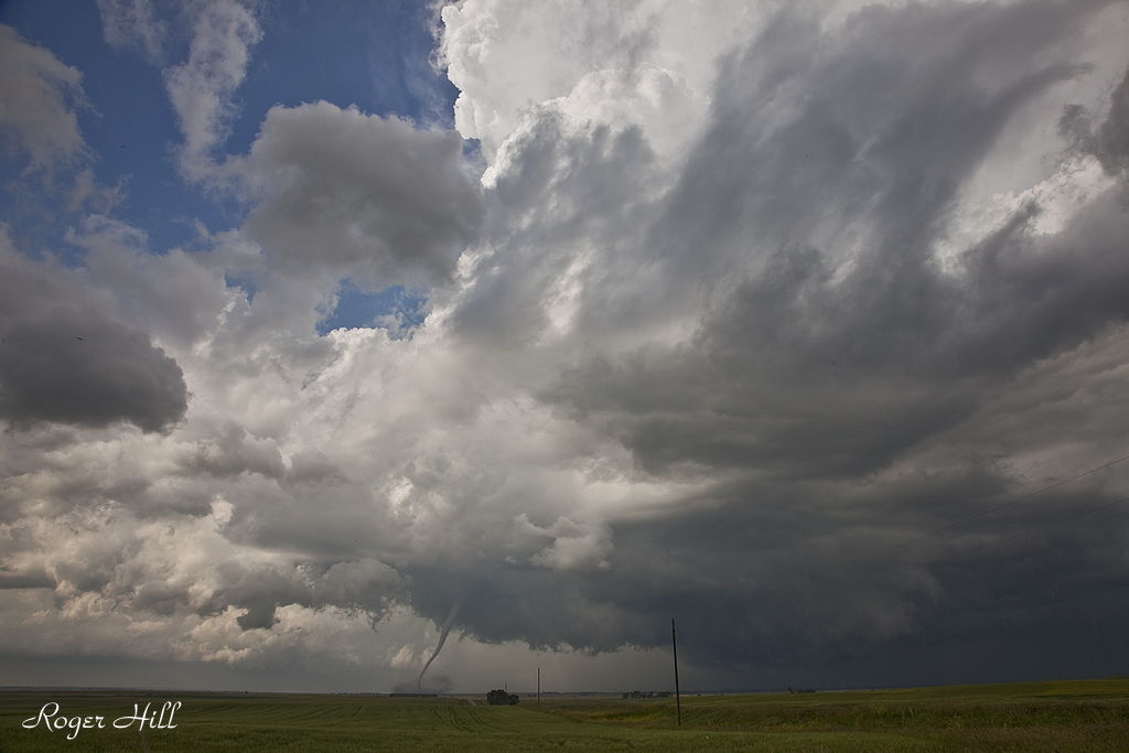
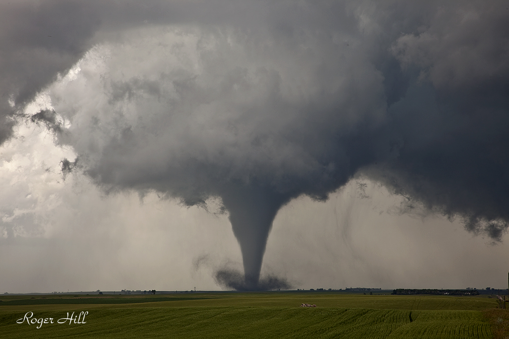
June 24th was a surprise day for me. Fairly poor low level shear, little forcing, no decent boundaries, and only meager moisture had me concerned about the quality of a storm today. I wasn’t even sure a storm would form. However along a confluence line, towering cu went up late afternoon, and a gorgeous supercell formed. This storm refused to quit and even after we left it, it was still severe and even briefly tornado warned. While we were chasing it up until dark it had been tornado warned twice with one very convincing funnel reaching 3/4 of the way to the ground. However, I can not confirm a touchdown. Nonetheless, it was a very pretty classic supercell most of its life cycle.
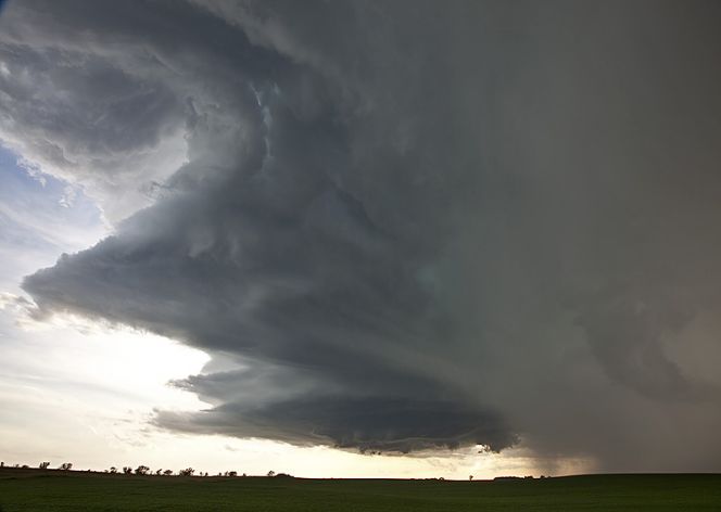
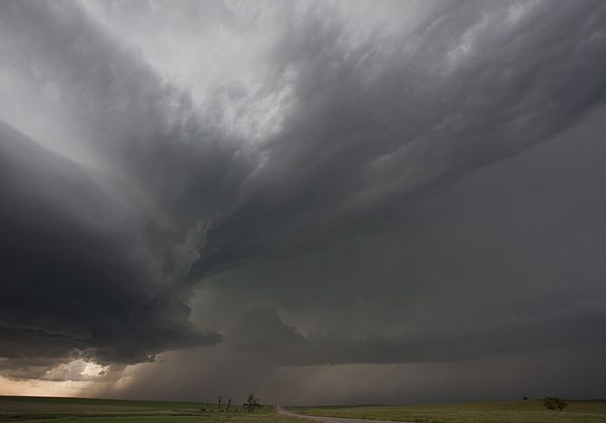
July 19th, 2008 North Dakota Incredible Supercell!
July 19th was a day I thought we would be in Canada. A strong trough, with good moisture and instability tracked along the US and Canada border. A boundary had formed from northwest North Dakota into western Iowa and would be the focal point for severe storms. We intercepted a supercell near Williston, North Dakota and tracked it well south of Bismark, North Dakota, over a 10 hour chase! It was either severe or tornado warned the entire time. What a beautiful storm. It arguably was the prettiest supercell of the year. It produced dozens of severe hail reports including hail baseball sized.
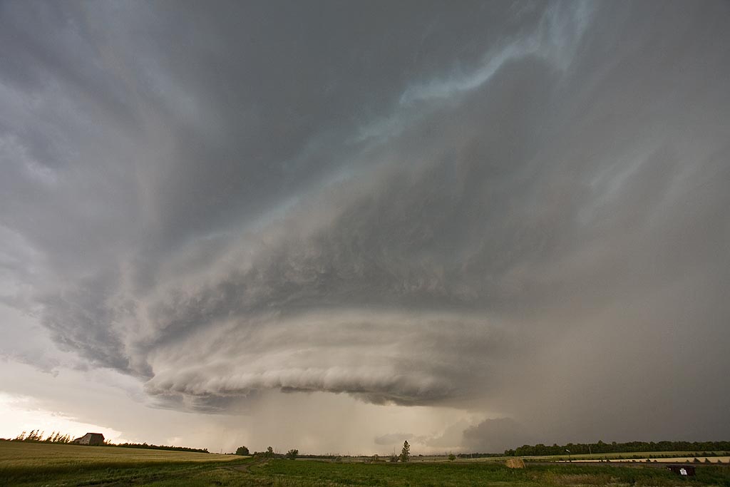
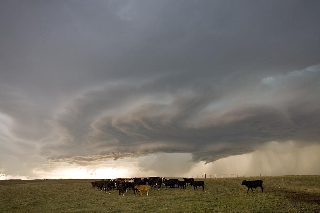
June 23rd and 24th, 2008 Northern Plains Supercells
June 23rd and 24th kept us in the northern plains, from Nebraska to North Dakota. Ample moisture, decent shear and good instability would provide for severe storms on both days. Several tornado warned and severe warned storms would form, but would not produce tornadoes. Instead very large hail to baseball size and strong outflow winds would be the primary severe weather modes. Structure of HP supercells and a magnificent shelf cloud from a bowed out line in North Dakota on the 24th would give me great photo opportunities.
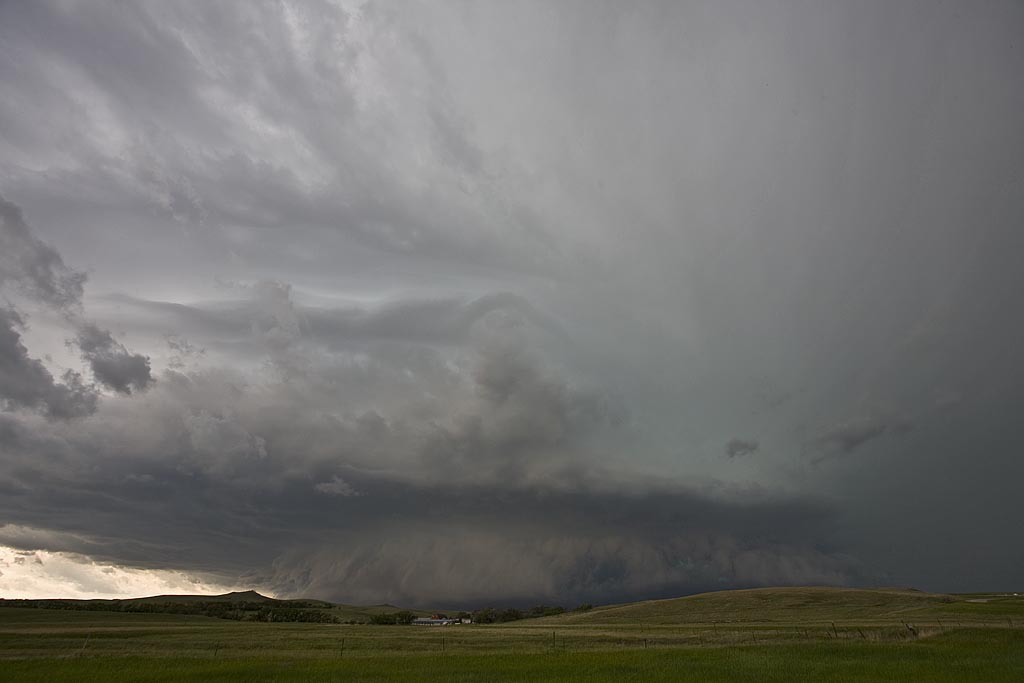
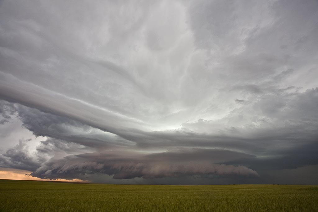
June 26th, 2005 Dakotas Tornadic Supercells
Being the first day of the tour, we drove QUICKLY to South Dakota where we caught a decent supercell. Conditions looked good with high instability, decent shear and an outlfow boundary from previous night convection to focus intense convection on. It produced a couple of weak tornadoes before lining out. We then blew it off and drove towards the Bismarck, ND area where we caught a nice sculpted supercell that produced a couple of weak circulations.
June 6th, 2004 Max, North Dakota Tornadic Supercell
This was a tough one for me. We left Denver early this AM with a target of Dickenson, ND. After almost 800 miles, we arrived to see 3 high based storms get their act together. Strong moisture return ahead of a short wave trough would provide lift to get these storms going. In spite of only upper 50s dewpoints, these 3 storms turned into supercells, with the southern storm, near Max, ND our target. We arrived as the storm was a beautiful saucer base with clear slot. A couple of funnels formed and extended close to the ground. Close enough I would consider this tornadic.
June 9th, 2001 Bismarck, ND Supercell & Tornado?
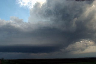
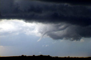
June 9, 2001 took us to North Dakota. Never again will I underestimate the importance of a boundary in tornado genesis. A weak bubble high formed over South Dakota after a morning MCS moved through, scouring out all moisture. However, north of the warm front in western North Dakota moisture was pooling with dewpoints in the 60s. So north we headed. There was 50 kts at 500 mb, great veering profile, high CAPE, and an approaching short wave. On the way northward through South Dakota, dewpoints bounced from the upper 40s through the 60s, but by the time we hit I-94 they increased to 66F. A couple of severe storms were ongoing, with one storm potentially tornadic. Other storms rapidly formed along the boundary, which was also collocated with I-94. Within 30 minutes upon arrival, a supercell exploded just to out east, so we raced after it, and what a show it gave us. Rapid cascading from the RFD was visible, huge hail soon followed, and finally as we got in front of it a possible tornado crossed in front of us causing significant damage.
June 12th, 2000 Grand Forks, ND Tornadic Supercell
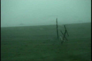
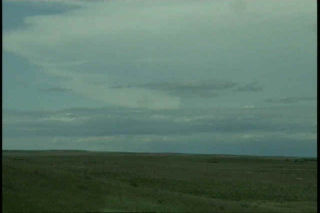
After a fun tornadic supercell near Bismarck, ND the day before, June 12th turned out to be a day not soon forgotten. We stayed around the Bismarck area until shortly after noon watching and waiting. We noticed on a satellite pic that congestus was forming on a nice convergence boundary from west of Grand Forks to near Jamestown. So off we went, to get into position for our first storm of the day, and what a storm it was. We arrived near the Larimore, North Dakota area around 6:30 PM as a possible tornado touched down along a wall cloud/updraft just to our northwest. Power flashes confirmed something under this wall cloud.
The first storm weakened so we headed east on Grand Forks county road 6 to road 3 and watched a nice elephant’s trunk tornado form about 2 miles east of us. This only lasted for about 5 minutes then dissipated at 7:48 PM. We decided to get in front of this supercell and shoot some structure photos, and WOW! What a mothership storm!!!!