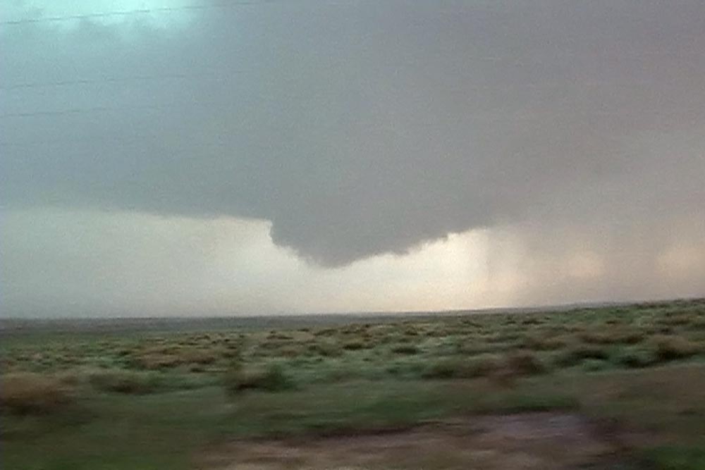
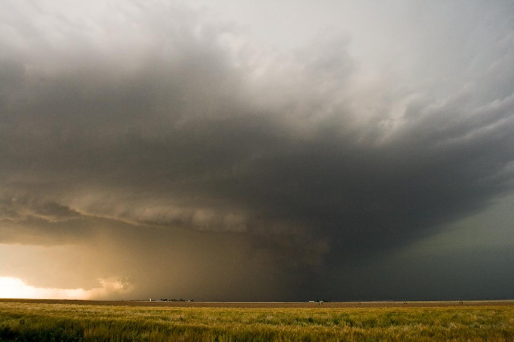
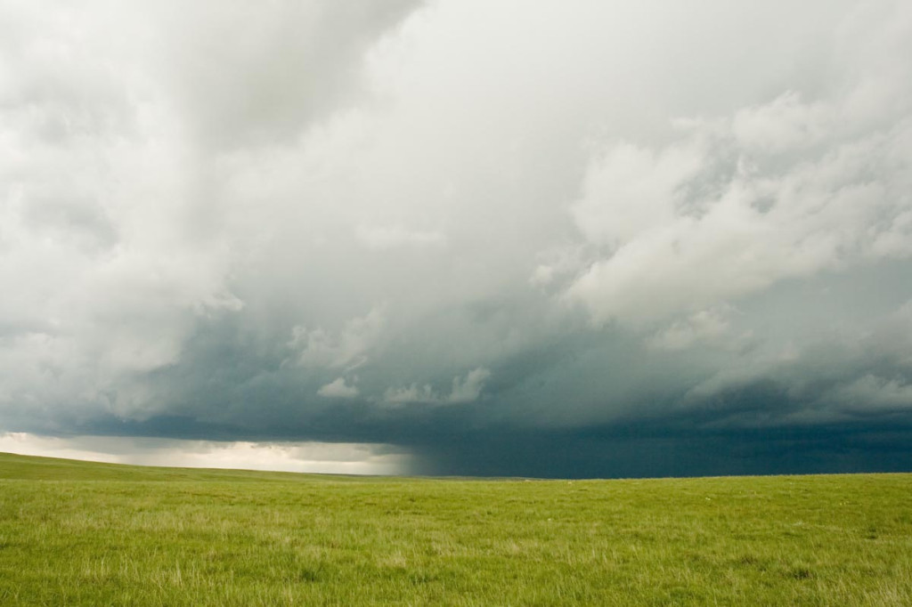
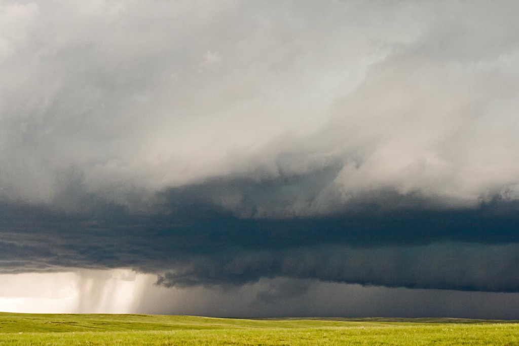
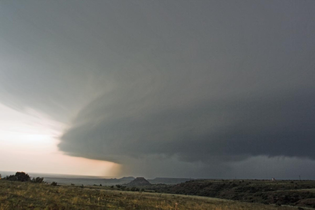
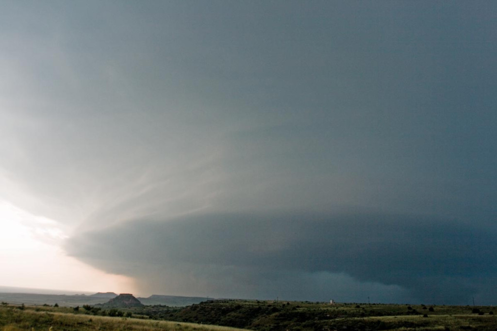
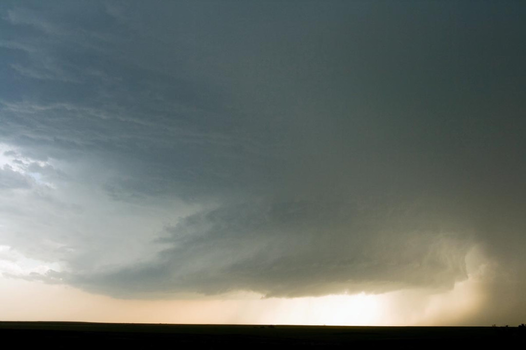
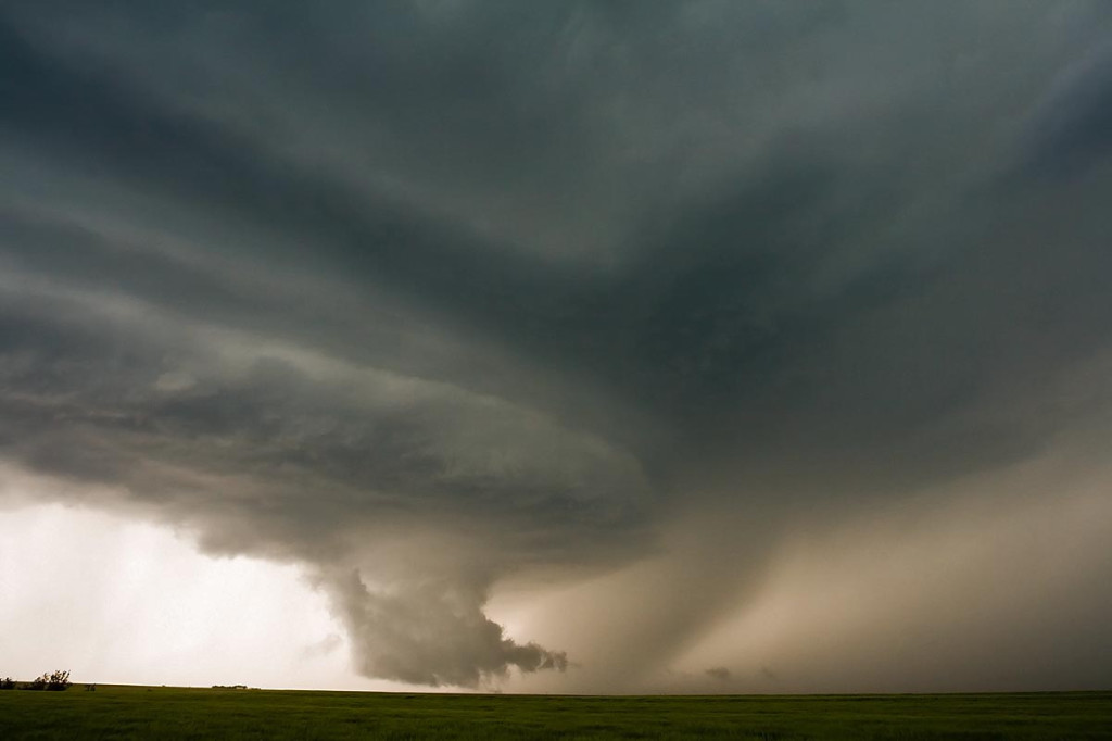
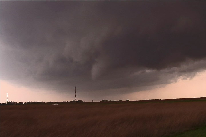
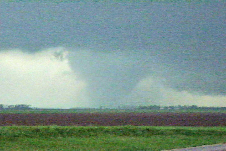
May 31st wasn’t a day I was really expecting too much. Moderate westerly flow aloft, coupled with fair moisture and decent instability would set the stage for supercells, producing hail, wind and tornado or two. We started in southeast Colorado where storms formed on the north side of the Raton Mesa, then propagated into the Oklahoma panhandle and became nice supercells. One storm in particular, featured here, produced at least 2 low contrast tornadoes and a couple of spinups under the shear line, and hail to baseball size.
May 30th, 2007 Colorado HP Hailstorm
May 30th included a tornado watch for all of eastern Colorado. An old outflow boundary/cold front lay from the Palmer Divide northeastward to the triborder area. Strong low level shear and ample mid level flow, coupled with decent moisture and instability would set the stage for supercell storms in Colorado. As is often the case in the high plains of Colorado, storms become HP rather quickly and produce intense amounts and sizes of hail. This storm would be no different. Despite the continuance of many tornado warnings, this storm never really had the chance to produce due to its extreme outflow dominance. Check out the photos below.
May 23rd, 2007 Texas Panhandle Supercells and Tornado
May 23rd looked like a classic Texas panhandle day, with the exception of fairly weak flow at anvil level, which proved to be fatal for viewable tornadoes. SPC put out a PDS tornado watch box by mid-afternoon and things looked pretty interesting. Rapidly developing supercells formed by 4 PM and became quite a messy situation as too many storms formed. It was virtually impossible to get a glimpse of any tornado for a long period of time as they wrapped with rain quickly.
May 22nd, 2007 Hill City, Kansas Tornadic Supercells
May 22nd brought us to north central Kansas to play along the dryline. By mid afternoon it became apparent that north central Kansas would become the focal point for strong instability, good convergence, good shear and fair moisture. Enough to generate a few supercells, one of which became tornadic. We had great positioning for them all, and at one point in time we had 3 in our view at once. Quite a sight! The photo above, was from the tornadic storm just southwest of Hill City. This storm produced two tornadoes, both of which were fairly brief in nature, less than 5 minutes each.
May 5th, 2007 Kansas Tornadofest
May 5th was a High Risk day from the SPC. Everything seemed to be coming together for a significant tornado outbreak. We decided to target storms in southwest Kansas east of Dodge City. A strong dry punch, intense wind shear and strong instability would set the stage for tornadic supercells. Storms struggled till early evening with the strong shear ripping apart about any storm that tried forming. Finally a supercell developed near Pratt that became tornado warned. It produced a weak tornado and many funnel clouds. About an hour later, several supercells developed and produced numerous tornadoes. We were able to intercept 6 more tornadoes, including a few that were strong.


