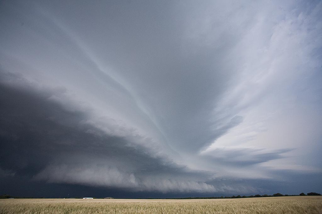
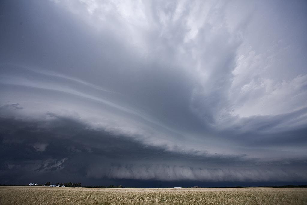
June 12th, 2008 Kansas Tornadic Supercells
June 12th had some potential, but low level shear was not the greatest. We intercepted 4 tornado warned cells, all of which had decent low level rotation, wall clouds, respectable structure, but just couldn’t produce much. One cell near Cottonwood Falls, Kansas had strong rotation, a streaming tail cloud into the mesocyclone and then we were getting rained on with debris! Thus we vacated our position quickly. Click on the image for a larger shot.


No comments yet.