Chase Log

June 16, 2014 Northeast Nebraska Tornado Outbreak

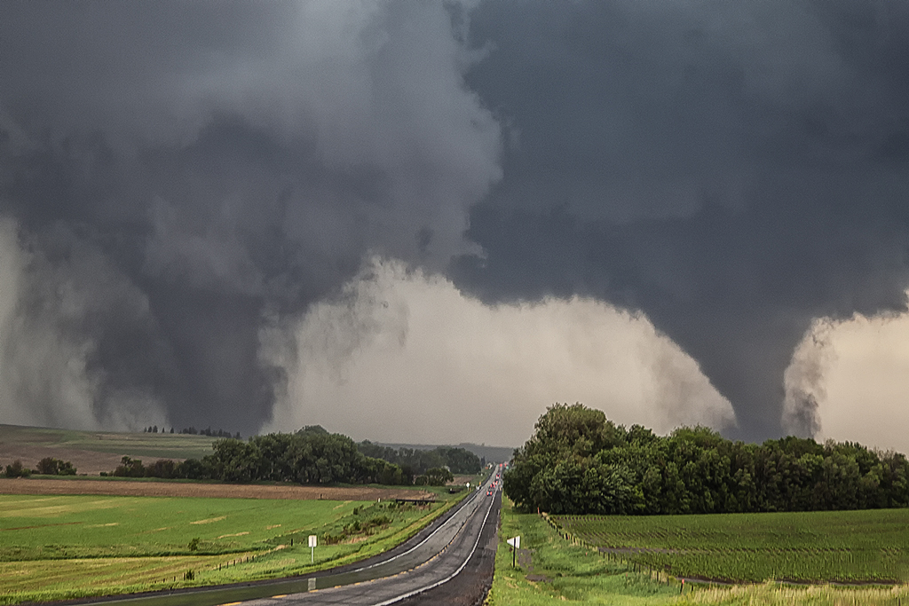
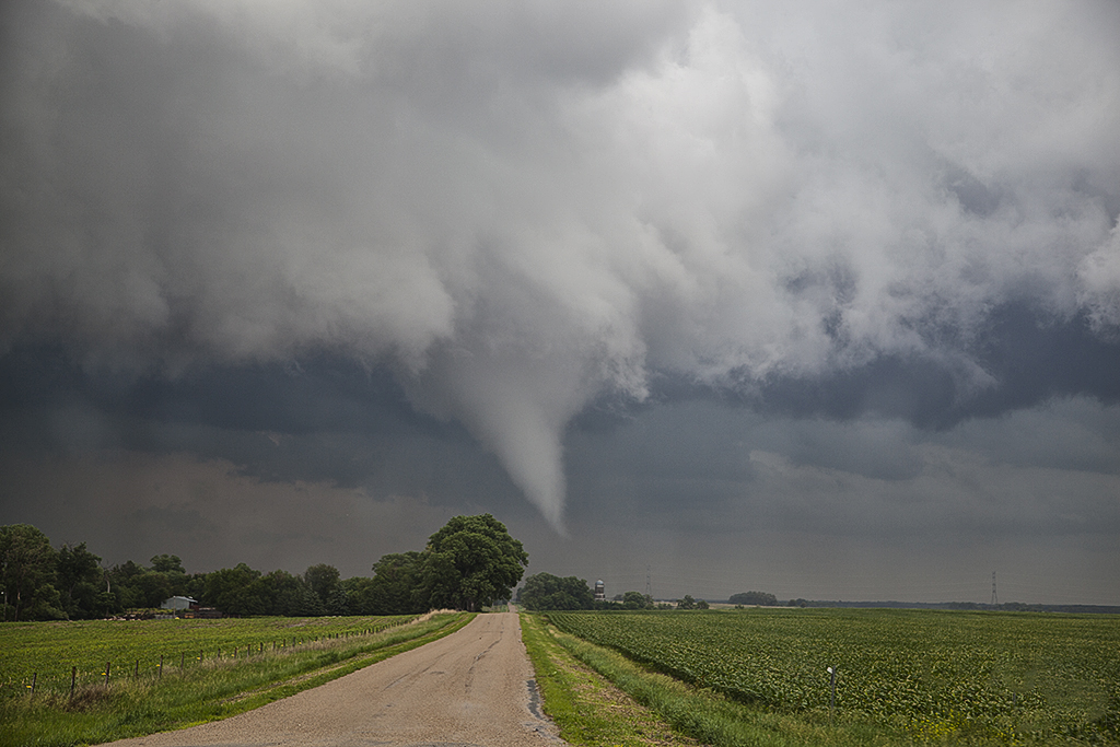
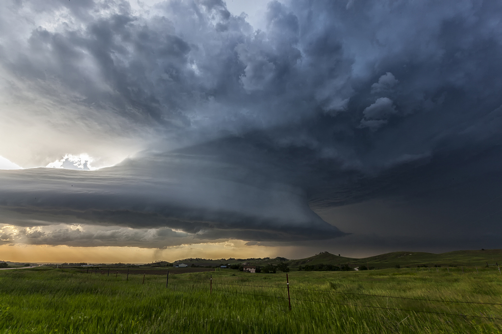
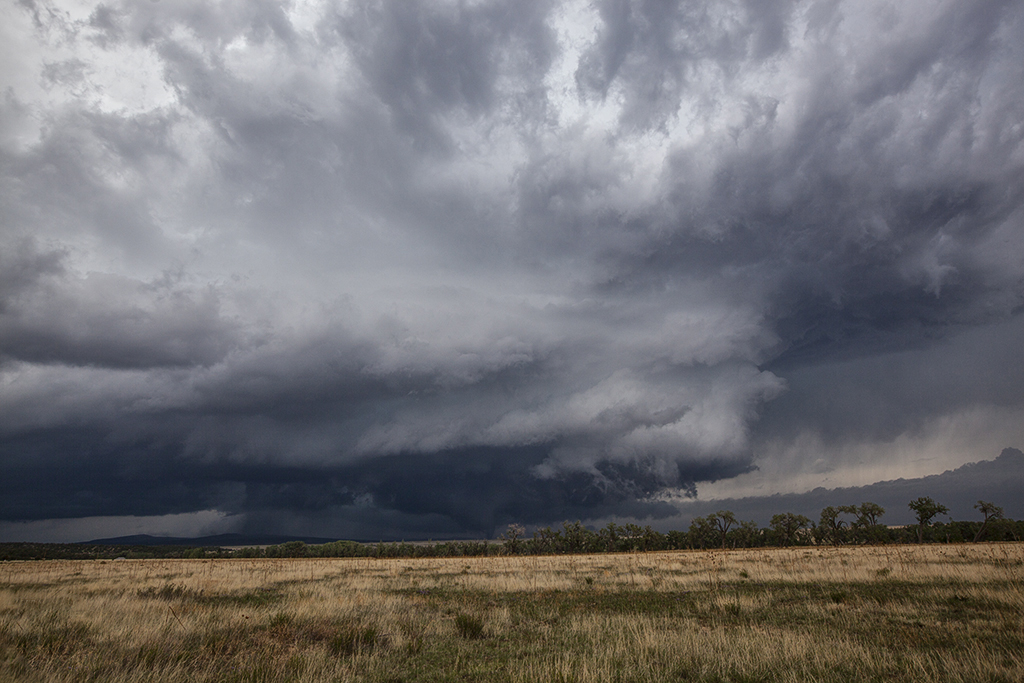
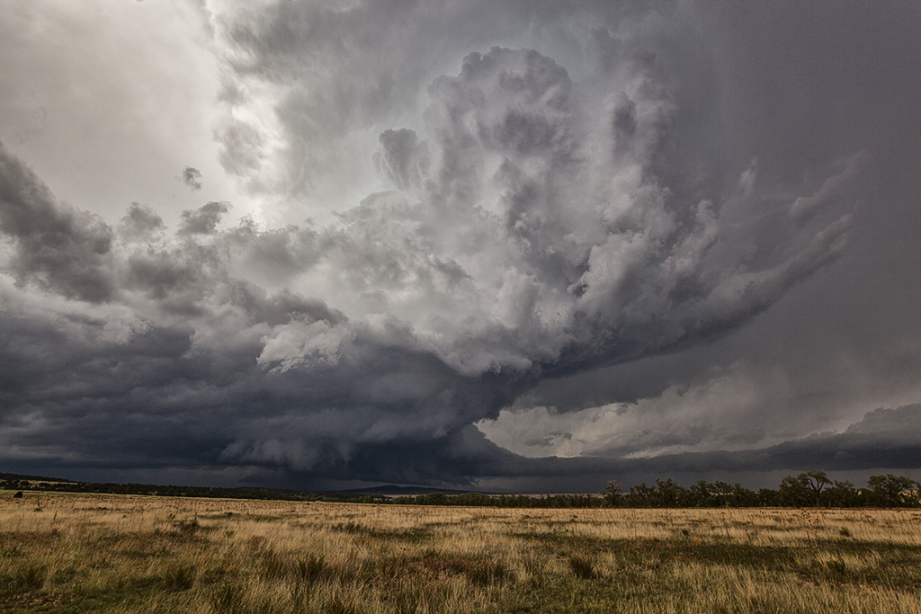
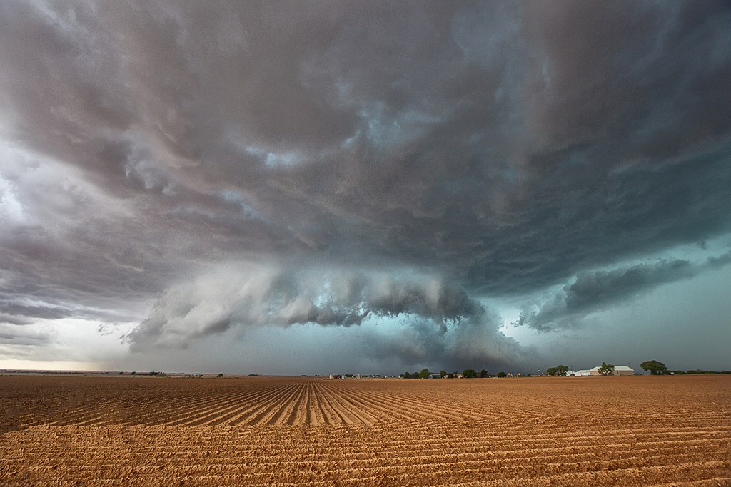
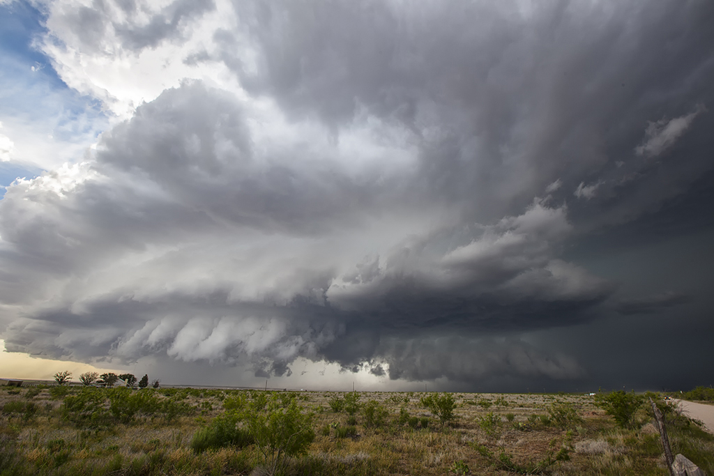
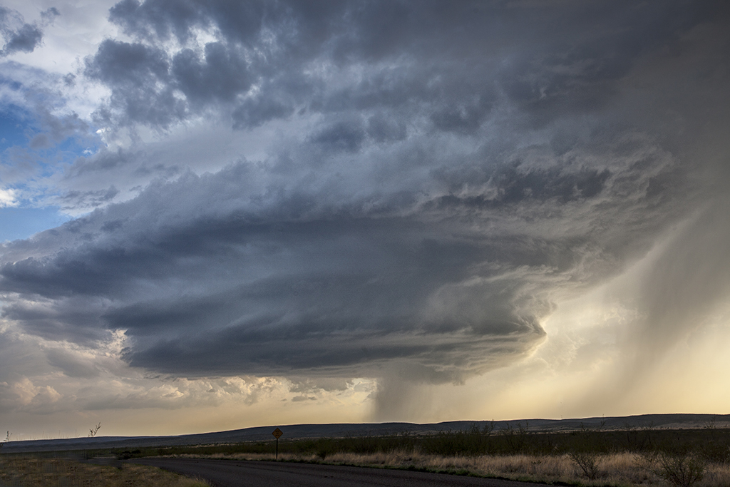
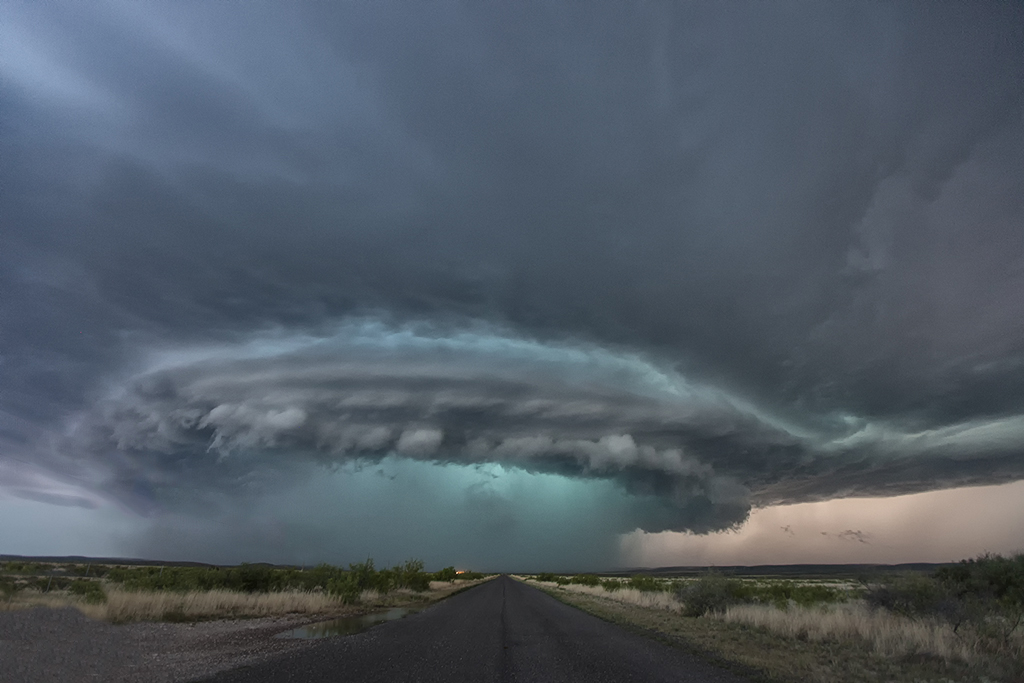
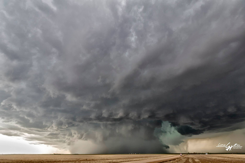
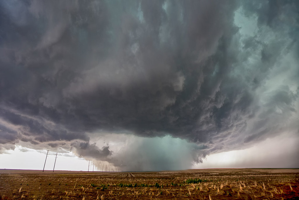
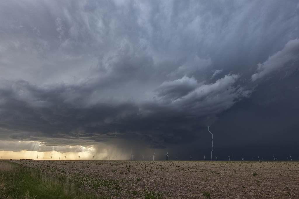
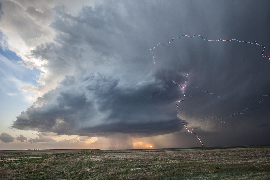
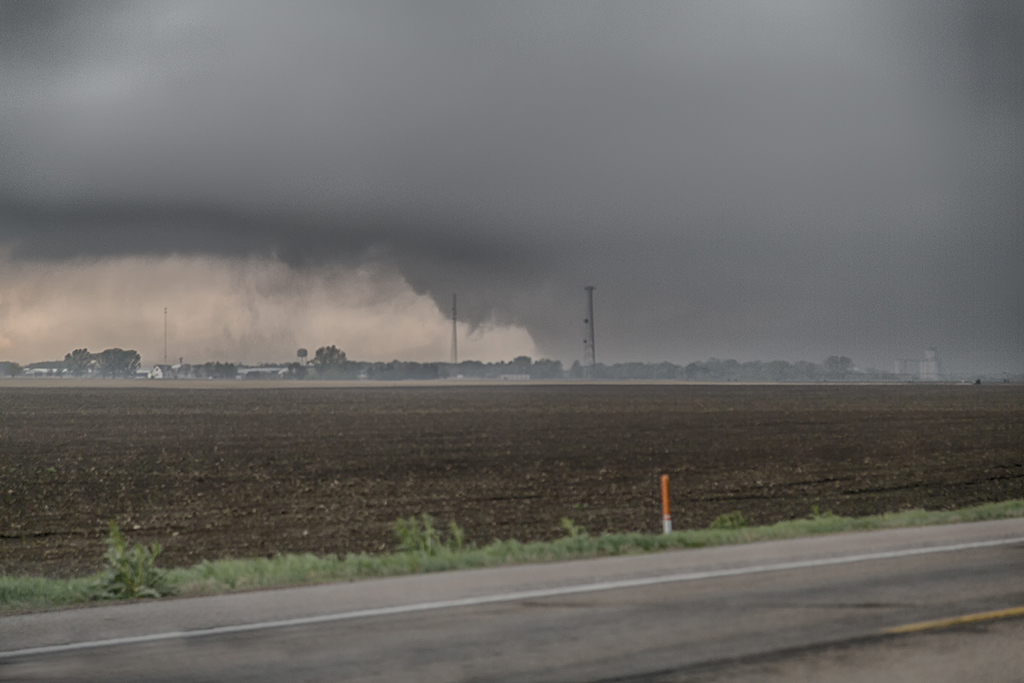
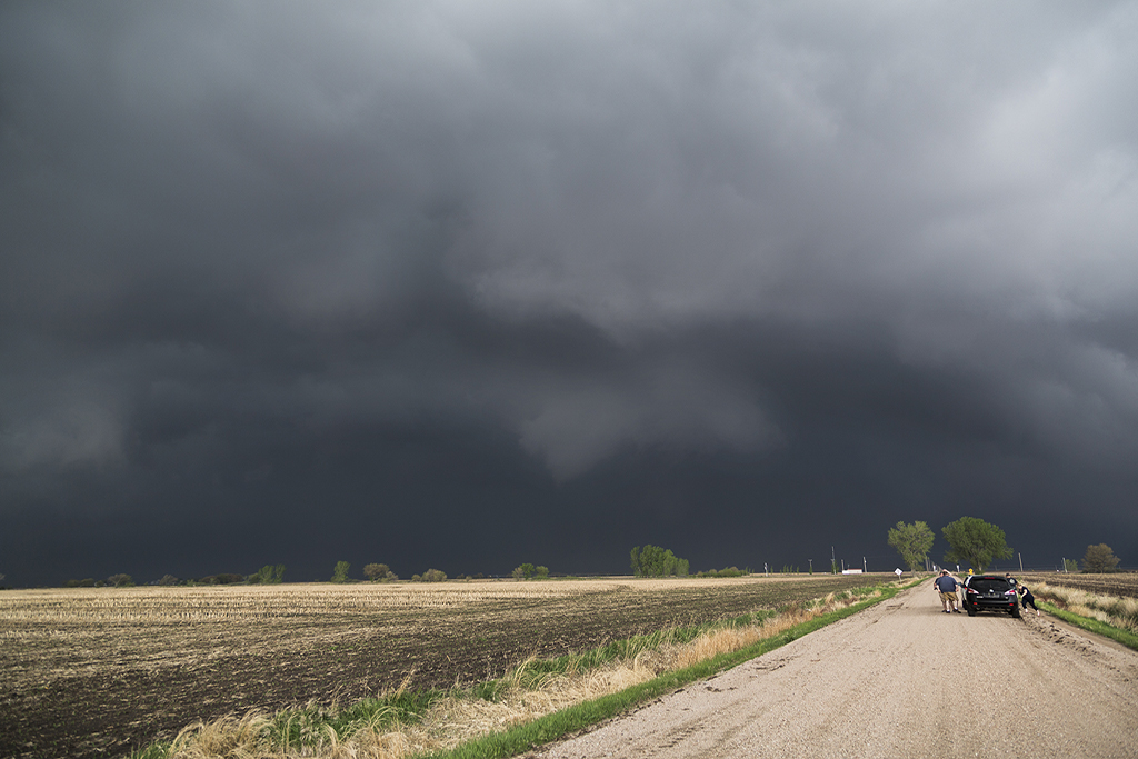
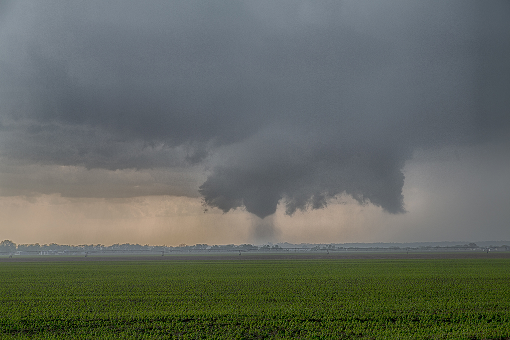
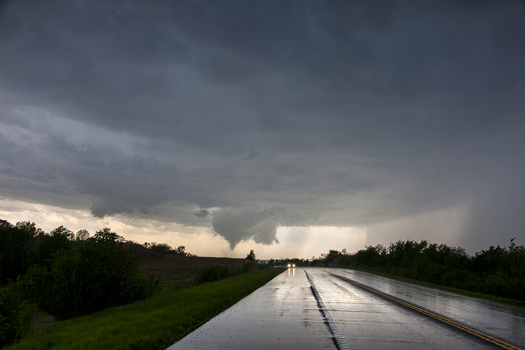
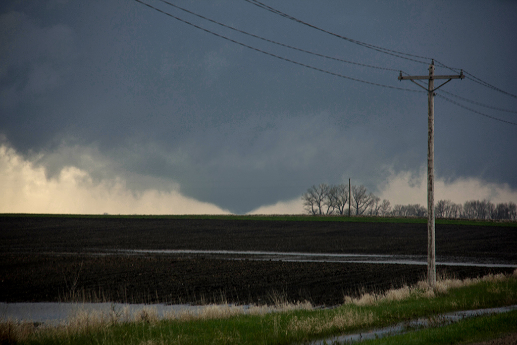
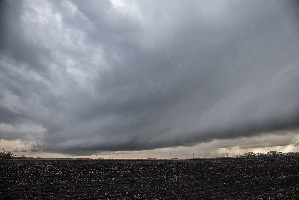
First, our heart felt sympathy goes out to those who suffered losses on this day. When we awoke on the morning of June 16th, I had butterflies in my stomach. I knew there would be potential for strong to violent tornadoes in Nebraska. Unfortunately those fears were realized as at least a half dozen strong or violent tornadoes would ravage the area east of Norfolk. The town of Pilger would be particularly hardest hit. We spent a good chunk of the day around Columbus analyzing data and watching things unfold.  With a temp of 83 and a dewpoint of 78, stiff east winds buffeted the area along a warm front. Conditions were ripe for powerful supercells and tornadoes. Mid afternoon storms formed along and north of the warm front. They moved into colder air and weakened. We knew it wouldn’t be long before storms would form along the warm front and ride it eastward with extreme shear. Southeast of Norfolk the first tornado formed and tracked near Stanton. Another tail end cell developed and produced the rest of the tornados this day with twin EF4 tornadoes destroying Pilger and other locations northeast of there. We watched from the back side of the tornadoes, about 1-2 miles east of us as the event unfolded. An event we’ll never forget! Tornadoes of every shape, size and strength occurred. The last time twin violent tornadoes occurred so close together was nearly 50 years ago! Amazing, and devastating to say the least!


June 13, 2014 – Nebraska Beautiful Supercell

June 13th appeared to be a decent chase day. An approaching shortwave would induce a lee cyclone that would in turn draw moisture northward into western Nebraska. A developing dryline would be the focus for several storms that would form. We played the tail end storm as it developed eastward and spun very hard. Due to fairly high cloud bases, this storm became a tad outflow dominant and never could produce a tornado. It was tornado warned twice in it’s life cycle. It did have very pretty structure and also produced very large hail and high winds. The sandhills of northwest Nebraska provide an amazing foreground for storm photography!


June 8, 2014 – New Mexico Tornadic Supercell

What a surprise it was this day!! A magnificent tornadic supercell formed over the higher mountain in northeast New Mexico west of the town of Watrous. This storm anchored for nearly 2 hours along the mountains and an old outflow boundary. Finally as the storm became a monster, it moved east of the mountains and tracked along the boundary producing at least one tornado we could confirm. A couple other chasers also confirmed the tornado near I-25 north of town. The structure on this storm was top notch as well! It also produced copious amounts of hail up to baseball sized.  As the storm moved well east of the mountains, it eventually merged in with a line of severe storms, still spinning wildly all the way to the Texas border.


May 26, 2014 – Central Texas Tornadic Supercell

May 26th featured a dryline in the west Texas area, with pretty decent shear, moisture and instability. Storms formed early afternoon east of Lubbock and tracked southeast during the late afternoon. We ended up watching strong supercell that pushed all the way through San Angelo late in the day, producing huge hail and at least 2 tornadoes we could confirm. The structure on the storm was quite nice and as it cycled several times, it morphed into a massive hp supercell.  There were a LOT of chasers out on this late May day as expected, and everyone was leapfrogging each other trying to move with the storm. It was quite comical to say the least! All in all though, it was a very exciting chase day and the guests had a fantastic time with this beast of a storm!


May 23-25, 2014 New Mexico Supercells

We got the pleasure of spending 3 consecutive days in the upslope region of southeastern New Mexico between Carlsbad and Roswell. Good moisture, lift, instability and shear would fuel beautiful storms each day. The prairies of New Mexico provide a gorgeous setting to watch this daily round of severe weather. Storm motion was quite slow, allowing us to sit and photograph/video each storm. Lightning was great, as was storm structure. One storm pictured below with the pink/red background came VERY close to producing a tornado near Artesia. Each storm shown also produced very large hail to baseball size.  The guests had quite a treat during these 3 days!


May 21, 2014 – Denver, Colorado Tornadic Supercell

The second of two super days in eastern Colorado! May 21st had much better moisture and shear than the day before did, while the Storm Prediction Center issued a tornado watch and warned of potential strong tornadoes in the area. We started the day home, a rarity for us, and didn’t have to go far. By early afternoon a cluster of storms formed over Denver, with the easternmost storm intercepting the best parcel of air and becoming a significant supercell. Just to the east of DIA, we sat looking down the notch of this beast as it spun wildly. It produced a couple funnels and what we are sure was a partially rain wrapped tornado that was only visible from the northeast looking southwest. Several other chasers saw what we did and there was a period of a few minutes where multiple vortices were spinning on the ground! We stayed with the storm as it cycled and moved eastward into more stable air. It slowly weakened at that point, never being what it was initially. A fun chase day, close to home and the tour was able to stay in the same HAIL BEATEN hotel that night. Piles of hail a couple feet deep were all around!


May 20, 2014 – Eastern Colorado Tornado Warned Supercell

May 20th was the first of two good Colorado severe weather days. This day featured returning moisture, albeit not optimal, strong shear and good upslope flow to generate storms. A few high based storms formed off the Palmer Divide by mid afternoon and the southern most storm intensified later, becoming the storm of the day! This supercell tracked all the way into western Kansas giving us quite a show with fantastic structure, a couple funnels, huge hail to tennisball size and a lot of lightning.  At dusk one of the prettiest structured storms, lit up by lightning, became tornado warned near the town of Burlington, CO. It truly was a sight to behold!


May 11, 2014 – Southern Nebraska Tornadofest

What can be said of this day! Caryn ran a private tour and this was one of the final days, and an amazing event it was! A warm front lay across southern Nebraska, while a dryline extended south from the surface low. By late afternoon several storms formed north of the warm front in the cold air where there was not a capping inversion in place. Finally the triple point storm formed, and rapidly became severe. It didn’t take long for the supercell to nearly anchor and become violently tornadic. It produced several tornadoes, including a huge wedge near the town of Sutton, Nebraska. It also produced numerous tornadoes Caryn and the tour were able to witness, of about every shape and size imaginable!  Roger was in Oklahoma City with a new tour arriving this day and managed to run north into Kansas and capture a couple very pretty supercells, one of which likely produced a brief tornado.


May 10, 2014 – Orrick, Missouri Tornadoes

I must admit what happened this day was a bit of a surprise. Low level moisture was quite lacking, however, pooling along the warm front deepened the moisture and allowed cloud bases to come down a bit, low enough to produce at least 3 tornadoes we witnessed. Several storms exploded over the Kansas City area, and the tail end storm ended up riding the warm front east/southeast on the strong shear and temp/dewpoint gradient. It became tornadic near Orrick, as an EF2 tornado unfortunately hit town. We also witnessed a brief elephant trunk and a larger cone/wedge looking tornado east of there. Fortunately there were no fatalities with any of the tornadoes.


May 8, 2014 – Southern Minnesota Tornado

May 8th took us quickly north to southern Minnesota. A warm front, triple point and advancing short wave would set the stage for several severe storms this day. Tornado threat seemed to be tied to the warm front and it did not disappoint! We were ALMOST late getting there due to the long distance we had to travel, however, we arrived right as the storm became tornadic, witnessing a large multivortex/cone tornado south of Judson, MN. Soon though, the storm crossed the warm front into colder air and weakened. All in all, it was a short, but successful chase day!  Due to my concentration on the task at hand, I did not capture a decent photo. This tornado pic is from SLT guide Travis Farncombe. Thanks Travis!!