Tag Archives | July 2014

July 22, 2014 – South Dakota Beautiful Supercell

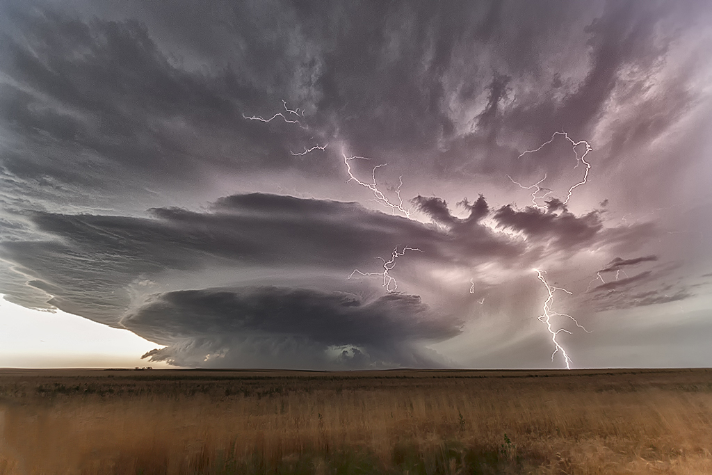
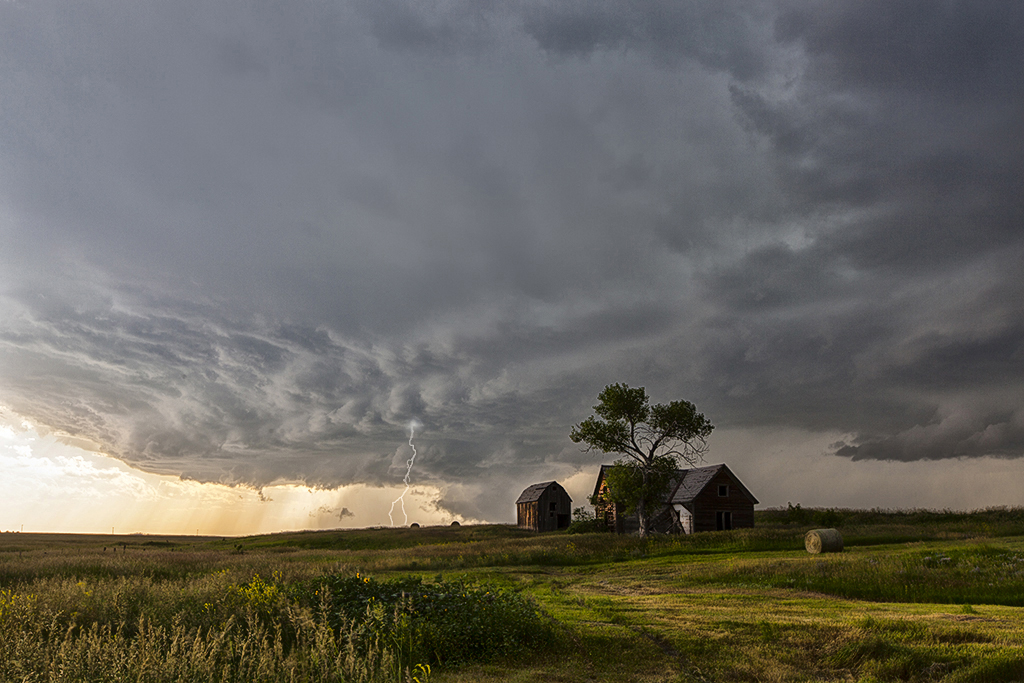
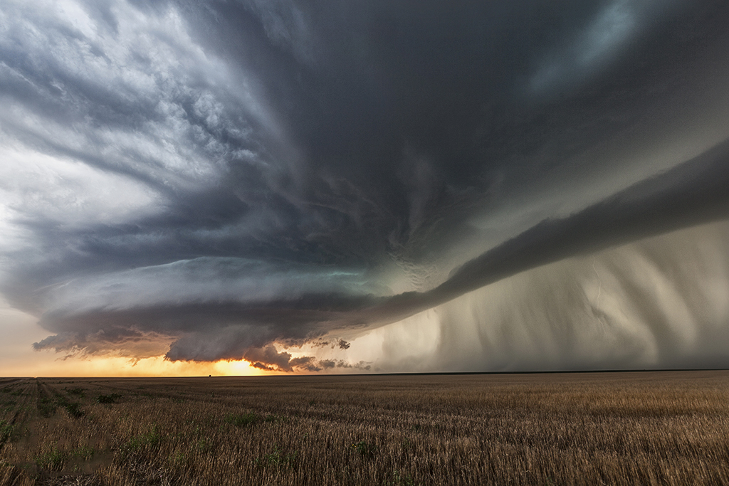
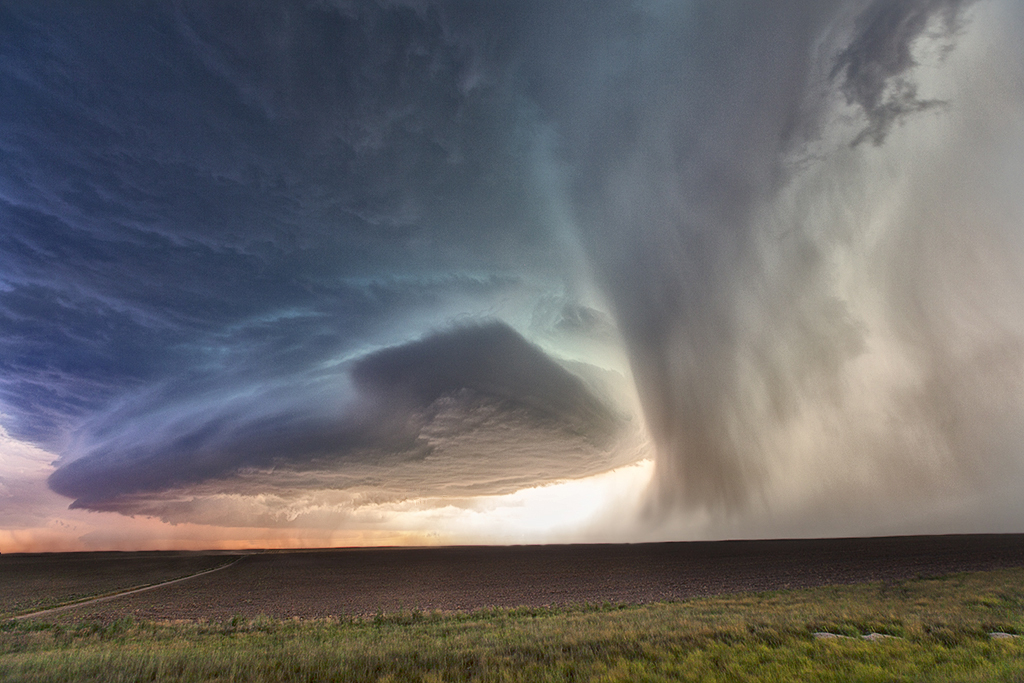
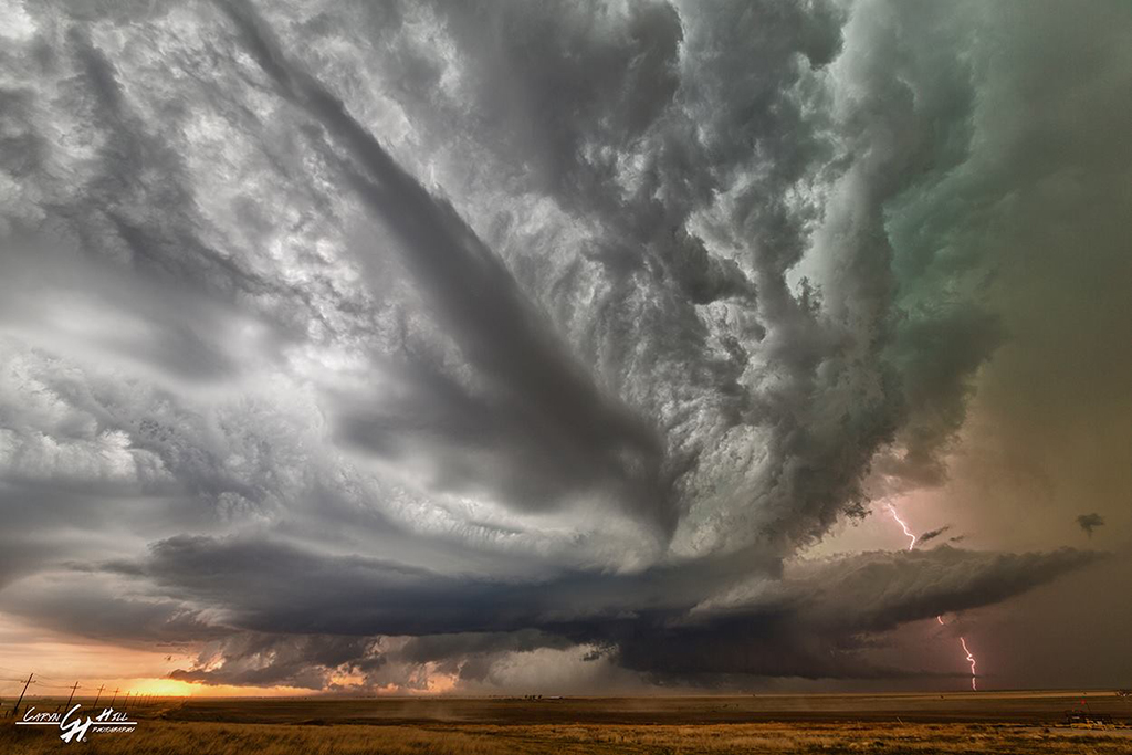
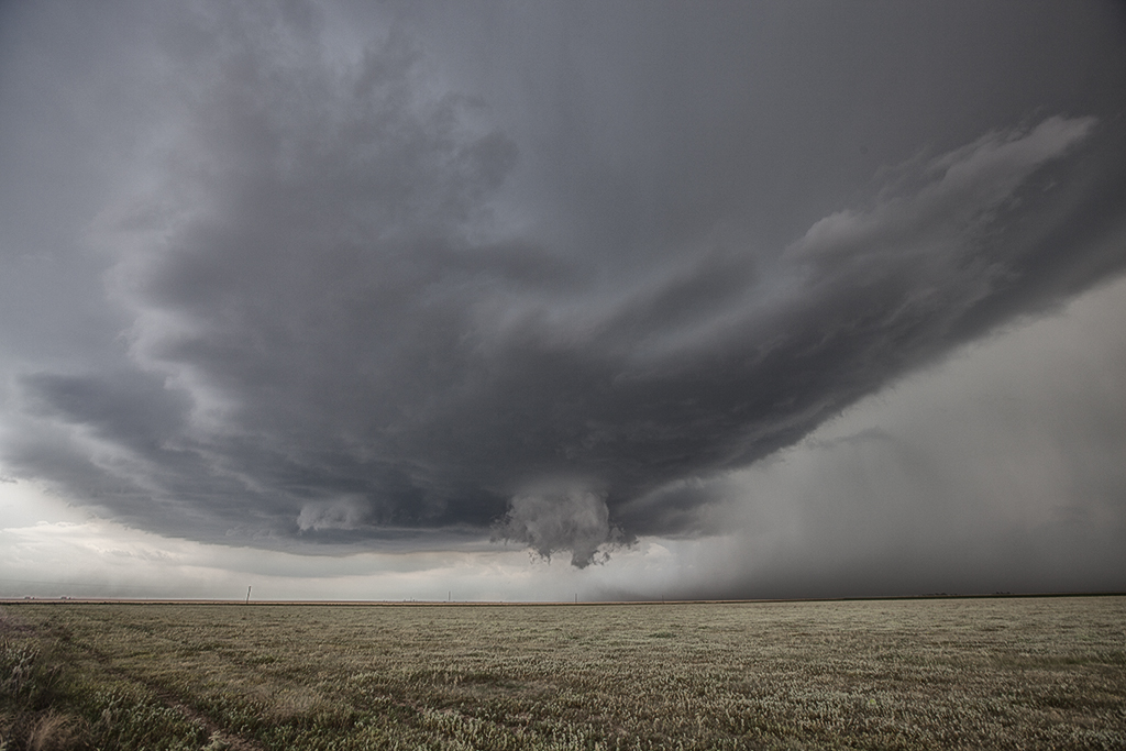
As if often the case on this particular tour, storm structure and quality was amazing this day. We started in Rapid City and spent the entire day with one supercell that formed early afternoon. This storm rolled over the Black Hills and turned due south into northwest Nebraska where it became tornado warned. It did not produce a tornado, but the structure was simply a photographers delight! It produced very large hail and an incredible amount of lightning. This was our last tour day of 2014, and a fantastic way to finish the season!


July 18, 2014 – Western Kansas Tornadic Supercell

An amazing supercell with a landspout tornado was witnessed this day. We started the day in Denver and didn’t have far to go as storms exploded along a dryline/outflow boundary intersection in northwest Kansas. Good shear, moisture and instability allowed a rare mid July supercell to develop. We were on this storm from the time it was a towering cumulus cloud. The structure was fantastic. It also became quite electrified as it right turned due south towards Goodland, Kansas. By dark it was sparking away and still going. This storm also produced baseball sized hail along its path!


July 16, 2014 – Texas Panhandle Tornadic Supercell

Usually in July our Great North Tornado Hunt is in the Dakotas and even Canada, but not this year. July 16th was a pretty decent set up south with respectable moisture, instability and shear for this late. Storms formed along a dryline in the western Texas panhandle and also along an old outflow boundary in the northern panhandle. It was the latter storms that were the best, becoming tornado warned and producing a weak EF0 tornado that destroyed a barn. Structure was very nice and the lightning as well! Guests enjoyed this storm immensely !