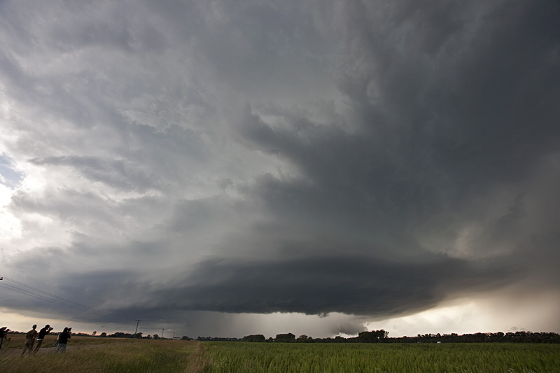
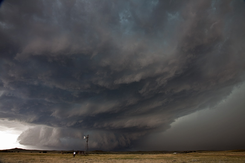
Mid July provided several opportunities to chase tornado warned supercells that did not produce tornadoes. The northern plains is my favorite spot to chase in summer. Modest westerly flow aloft with good low level moisture, instability and winds, set the stage for several days of photogenic supercells. The best of these are featured below. Enjoy!
July 14, 2010 Northfield, Minnesota Tornadoes
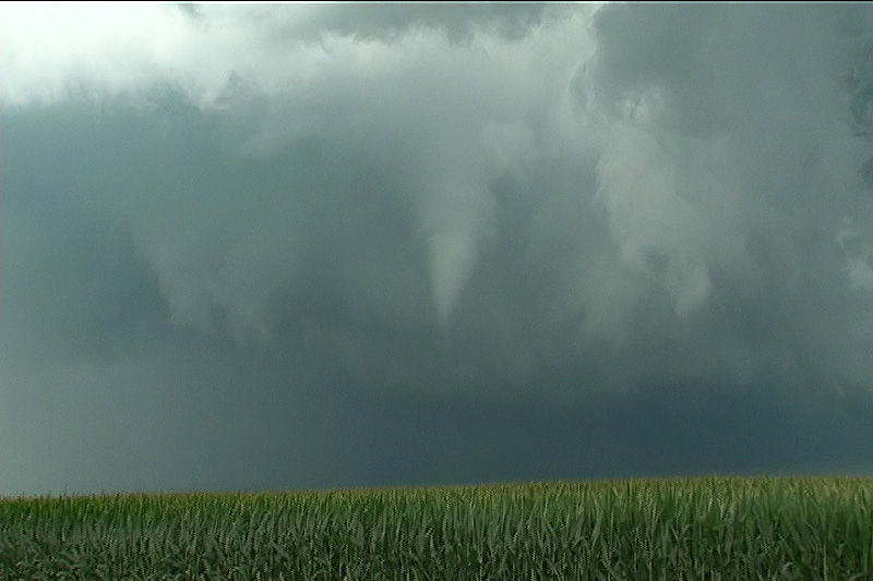
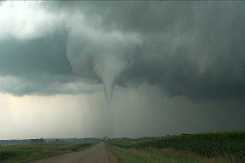
Had high expectations this day as all parameters pointed to a significant tornado outbreak. I just had a gut feeling it would line out quickly and that you would have to be in position to intercept any discreet supercells before they lined out. That is what happened. I took the Canadian Prairie tour to Faribault, MN for lunch and watched as surface based storms broke the cap. We blasted up I-35 and approached highway 19. We quickly noticed an amazingly rapid development in the mesocyclone of this supercell and it took a matter of moments and it dropped a nice truncated cone tornado that crossed I-35 and flipped a couple vehicles as the white debris cloud moved into a field next to the interstate. This tornado skipped along the countryside for a couple miles and lifted.
Quickly, another tornado, a slender truncated elephant trunk shaped tornado touched down and rotated around the outer periphery of the mesocyclone. It stayed in contact for only a few minutes before lifting. The rotation in the mesocyclone was still quite intense. Another long snaking elephant trunk tornado touched down with full condensation to the ground and looked very nice. Unfortunately it did a bit of damage, as shown below. All this occurred not far from Northfield, MN. Then the cells lined out and the show was over on a day that was hyped to be a big tornado outbreak.