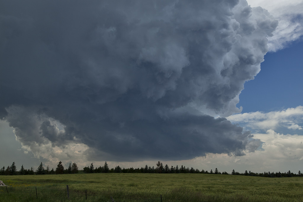
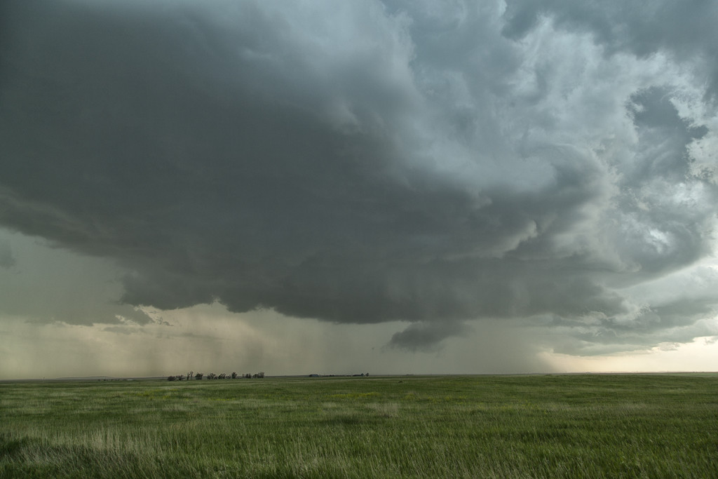
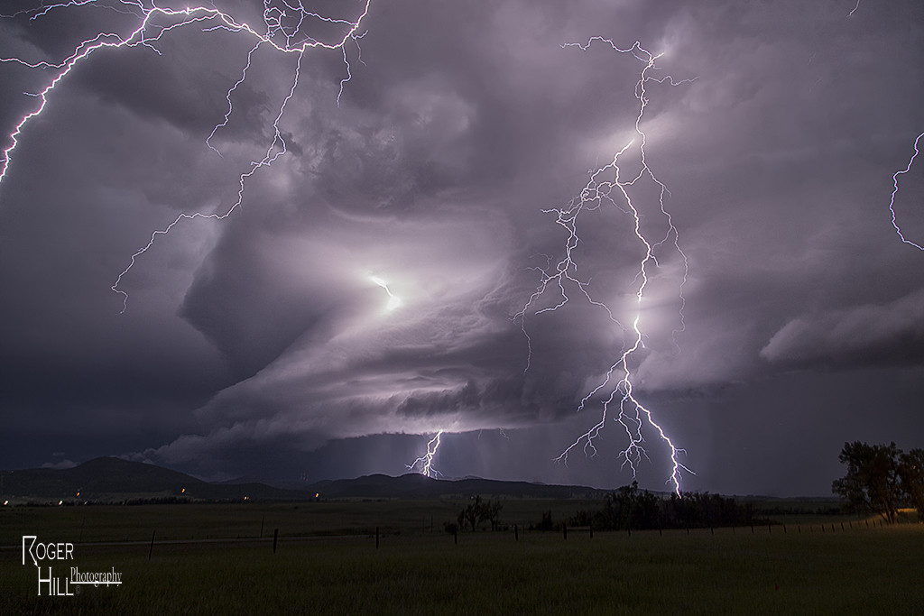
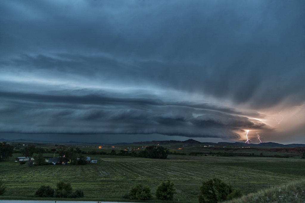
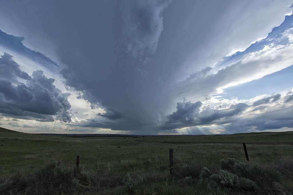
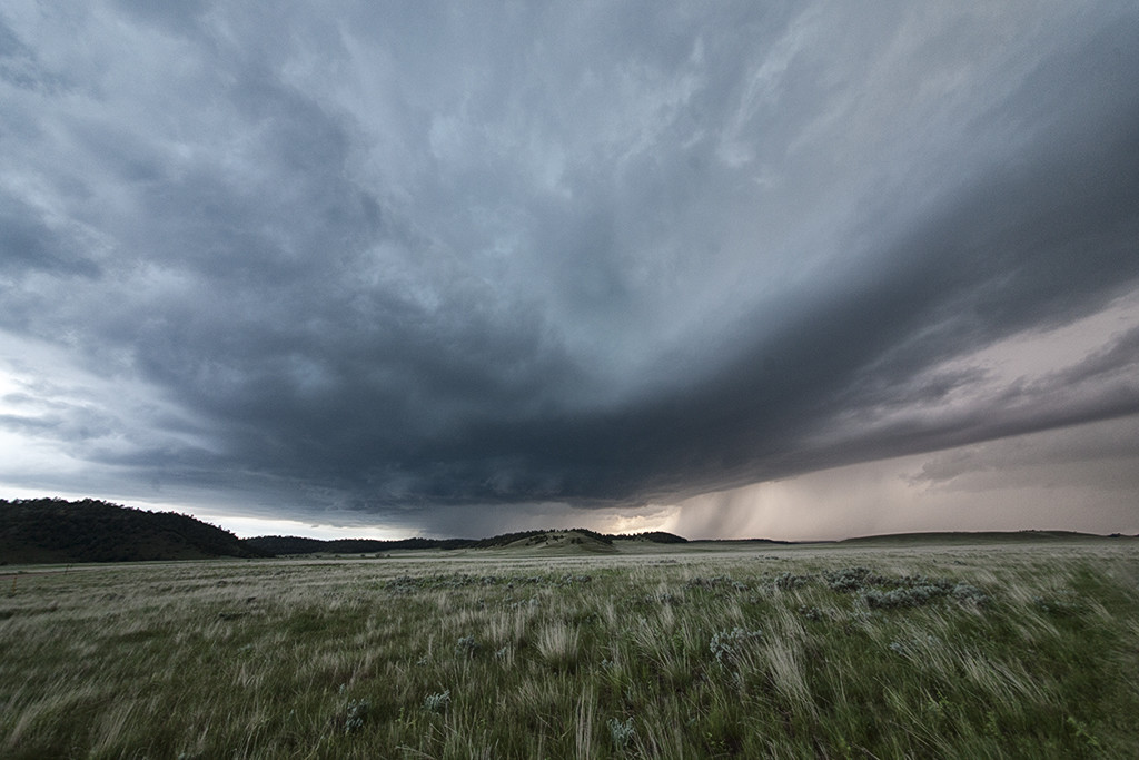
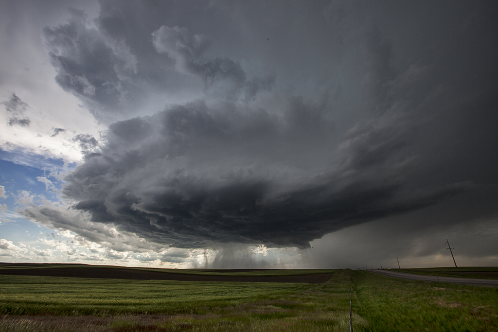
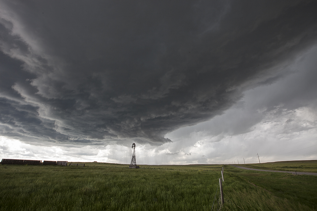
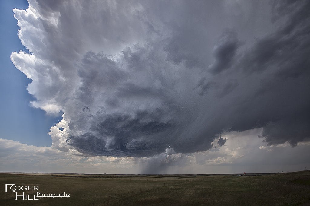
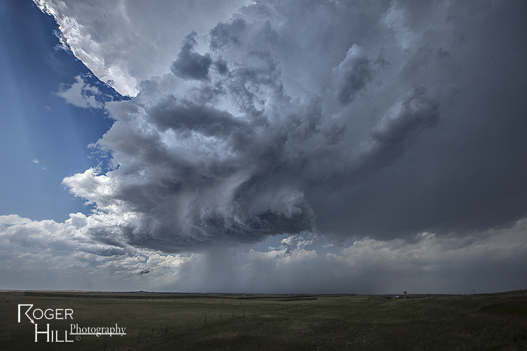
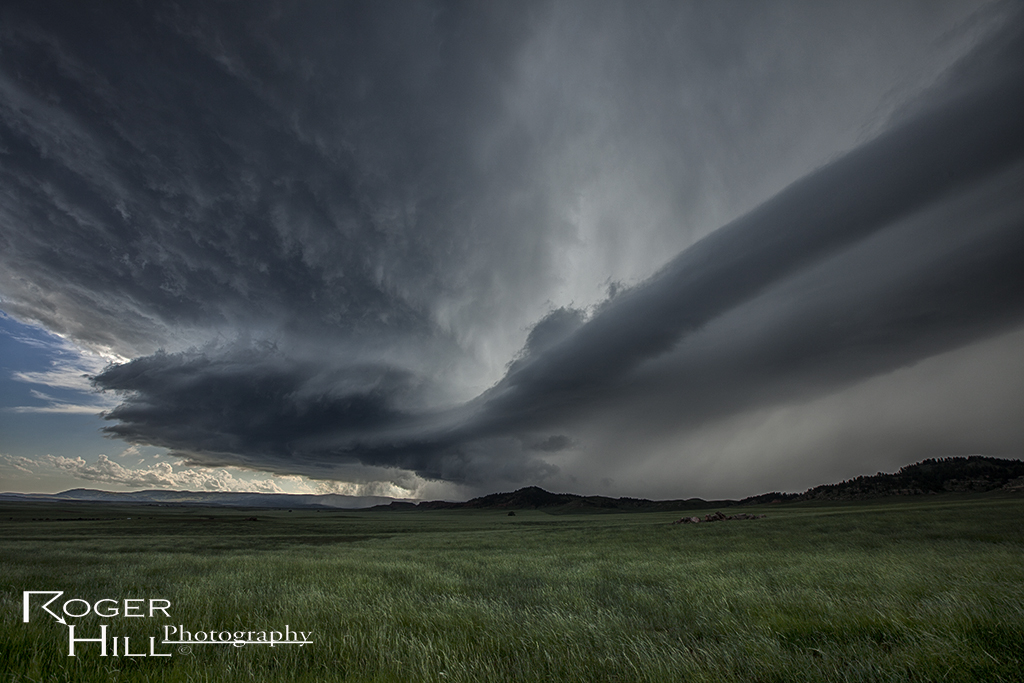
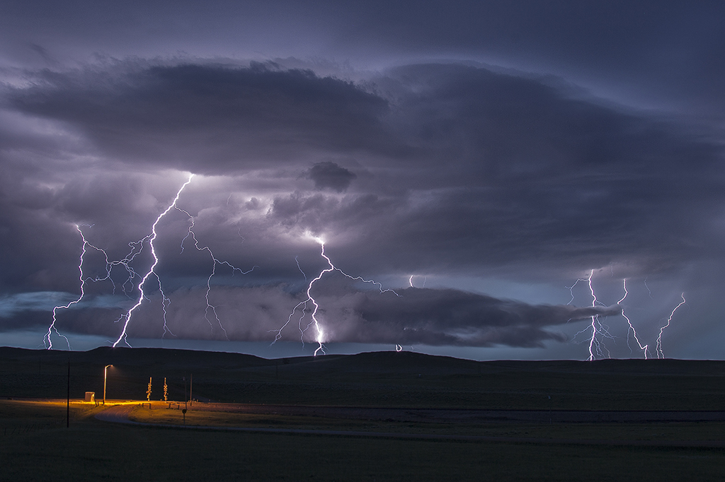
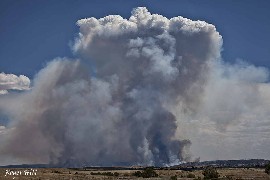
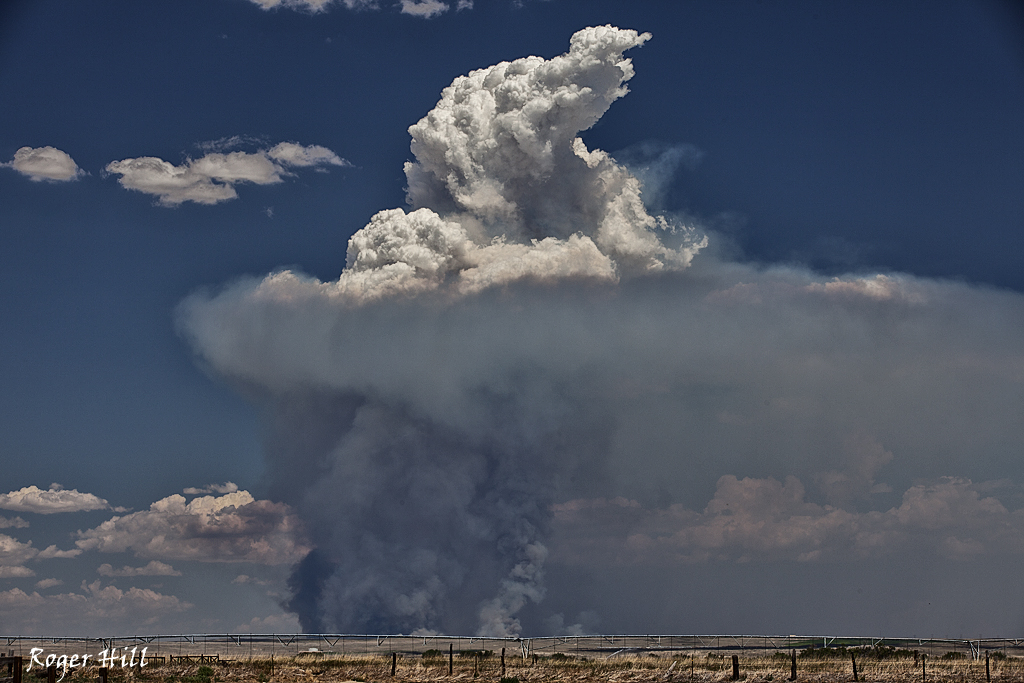
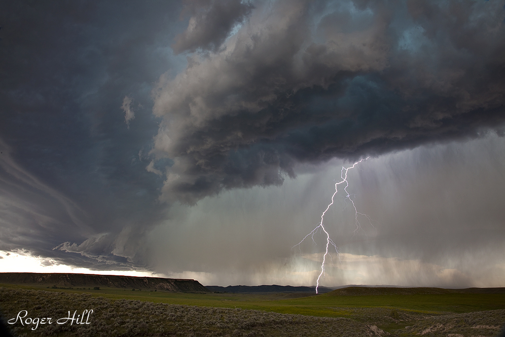
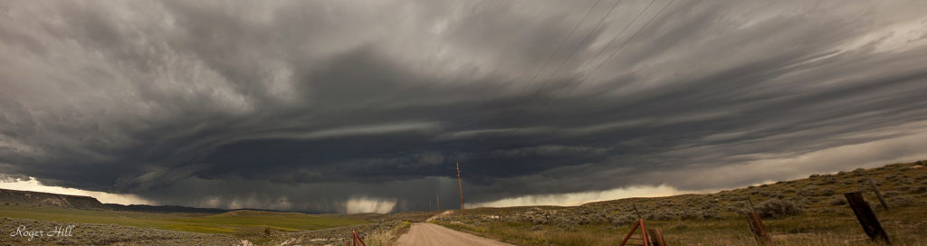
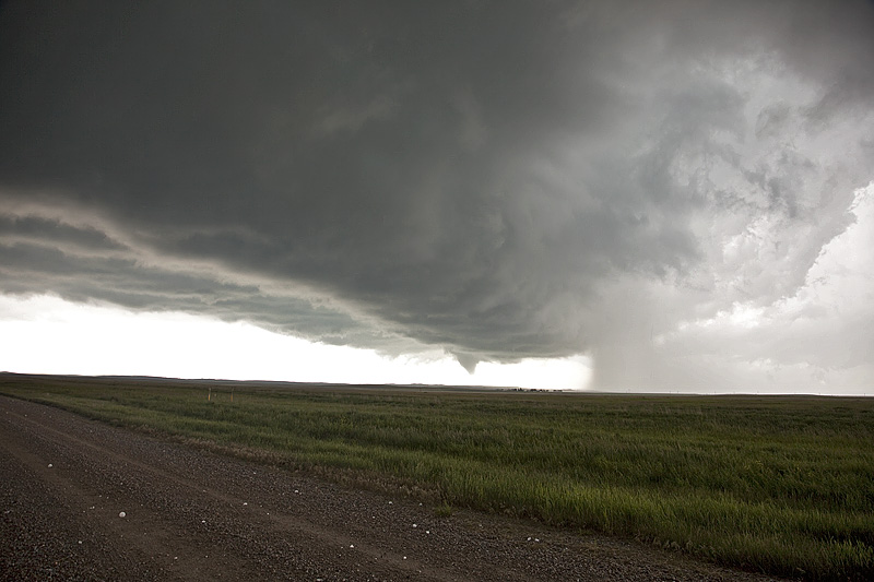
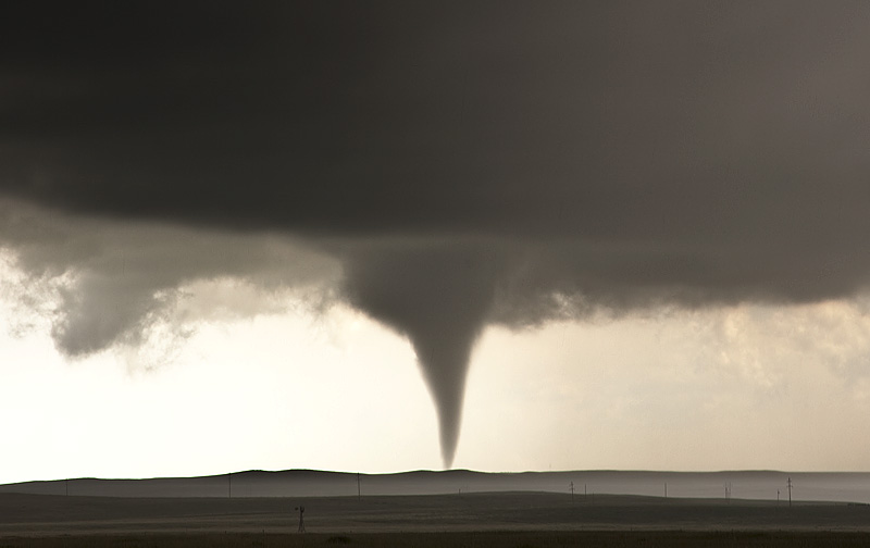
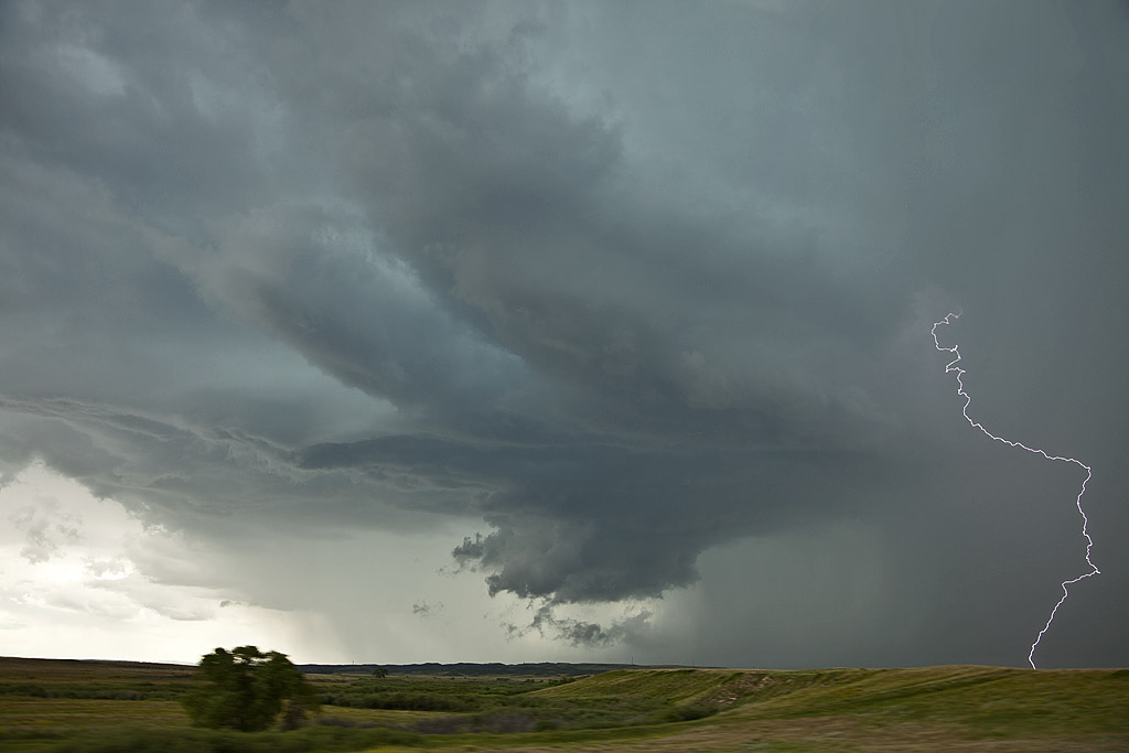
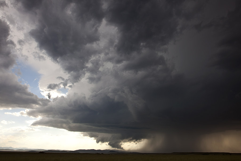
Tag Archives | Wyoming

June 17th East Central Wyoming Tornado Warned Supercell

June 17th had a short wave trough moving across the northern high plains. Decent moisture and instability was in place to fuel significant storms. However a capping inversion kept storms from forming until late in the day. A storm complex moved out of Montana into eastern Wyoming, and it was this complex that developed significant rotation as a storm in front of the line became absorbed into it and caused it to rotate rapidly. A tornado warning was issued for the western Black Hills as the storm approached Beaulah and into the Spearfish area. The structure as dusk was quite nice and the lightning was amazing! One of the best lightning displays all season so far!


June 3rd Wyoming Supercell

June 3rd was a day we felt had decent severe weather and tornado potential. High CAPE, great shear and good lift along the higher terrain of the Laramie Range we felt would result in a few tornadic supercells. Unfortunately nature had other plans. Nothing of significance formed until just before dark and even then what happened is still up for debate. The storm spun nicely, and just as darkness hit several blocks and columns of scud clouds formed under the updraft, of which some folks called tornadoes. I am a pretty firm believer there were no tornadoes from this storm, but was certainly suspicious! Still, Tour 5 and the Photo Tour #2 had a great time with it!

June 24, 2014 – Southeast Wyoming Hailstorm

Wasn’t expecting much this day, but nature surprised us with a nicely structured supercell northeast of Cheyenne. This storm spun nicely with the marginal shear in place, and decent moisture and instability resulted in a hailer producing stones to baseball sized! We were quite surprised how big they were when we drove under the vault region of the supercell. We stopped traffic heading into it and warned of the huge hail. Most people responded by staying back till the storm passed. Nice surprise indeed!


July 10th Wyoming Supercell

We intercepted a severe warned supercell in southeast Wyoming this day. Decent ingredients were in place to get storms to form in the upslope flow north of Cheyenne. This storm became a wet lp supercell and had pretty decent structure for its 3 hour lifetime.

July 7th Lightning Flats, Wyoming Tornado Warned Supercell

I love chasing in July in the northern plains. It is very scenic and very few people around. July 7th had plenty of moisture, decent instability, good shear and a dryline for convergence. By mid afternoon, a storm formed northwest of Alzada, Montana, and right turned along the boundary all the way to Sundance, Wyoming where it eventually gusted out. It produced a really nice funnel halfway to the ground, as well as nice structure. Near dark, another cell formed southwest of Moorcroft, Wyoming and was an electrified beast! Love those storms that produce cgs every 5-7 seconds!

July 16th/17th SD Supercell/WY Fire

July 16th took us to central South Dakota for a marginal set up. Decent flow aloft, limited moisture and decent instability allowed a cluster of storms to form. The tail end storm became a gorgeous supercell and was very electrified. The next day on the way back to Denver, we passed the Sawmill Canyon, Wyoming fire. It was raging out of control and had consumed 13,000 acres.

June 24th, 2011 Douglas, WY Supercell

This storm was very pretty, although high based. It provided some decent lightning, which, fortunately I was able to capture a shot of. It was a severe warned high based supercell that started west of Casper and by the time it made it to Douglas, it lined out and became a gusty storm.

June 20, 2010 Chugwater, Wyoming Tornadoes

Amazing day! I wasn’t quite expecting what we got. Early afternoon storms in the Laramie Range in southeast Wyoming created an outflow boundary for one last storm to ride down. The early storms were tornado warned,  but produced nothing, and finally the last cell, ingesting cool, moist surface air, spun like a top and dropped two tornadoes, as well as hail nearly 5″ in diameter! The largest tornado was on the ground for nearly 10 minutes.

July 12, 2009 Eastern Wyoming Supercell

July 12th was a surprise for me. I didn’t think there were enough ingredients for a significant supercell event. I was wrong, and happy I was at that! By late afternoon a storm came off the Laramie range and produced a great lightning show. Just north of that cell, another beautifully structured beast formed and became the storm of the day! There was major motion under the updraft base/wall cloud and I was surprised it was never tornado warned. It was severe and produced signficant hail to tennisball size.

July 8, 2009 Northeast Wyoming Supercells

July 8th I couldn’t resist the drive to northeast Wyoming and southwest North Dakota for what looked like a decent setup. A slowly advancing cold front, along with a dryline intercepting it, ample moisture and instability, would provide a favorable environment for severe storms, supercells and tornadoes. Unfortunately, that rare occurance that the triple point didn’t produce a long lived supercell, while tornadic supercells formed north and south of us came to a reality. Still, we had two nicely structured supercells, the latter of which shown above came very close to producing a tornado.