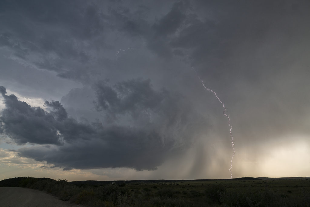
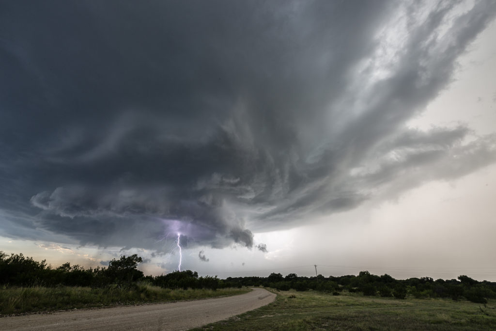
June 16th featured strong instability, good moisture and moderate deep layer shear. An old outflow boundary across the I-20 area west of Abilene would be the focal point for severe and tornado warned storms this day. We started the day in Denver and left very early to reach our target by initiation time. We made it with little time to spare! Storms rapidly developed and intensified along the southward sagging boundary. We headed south from Sterling City and got in front of a beautifully structured and tornado warned supercell! This storm was quite pretty, had a rotating wall cloud and incredible lightning. It spun southward for hours giving us a treat to watch.
Eventually near dark, the storm weakened, but not before giving us one last great lightning show! Over an 800 mile day, but worth it! Just goes to show we’ll go anywhere we need to so we can get our guests the best storms around!


