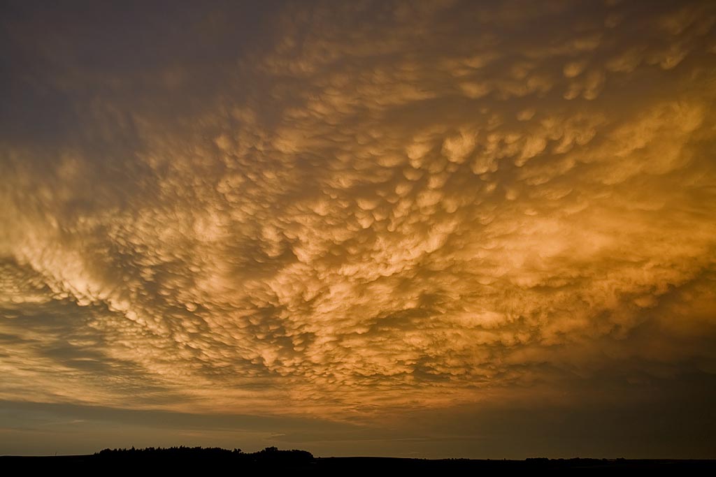
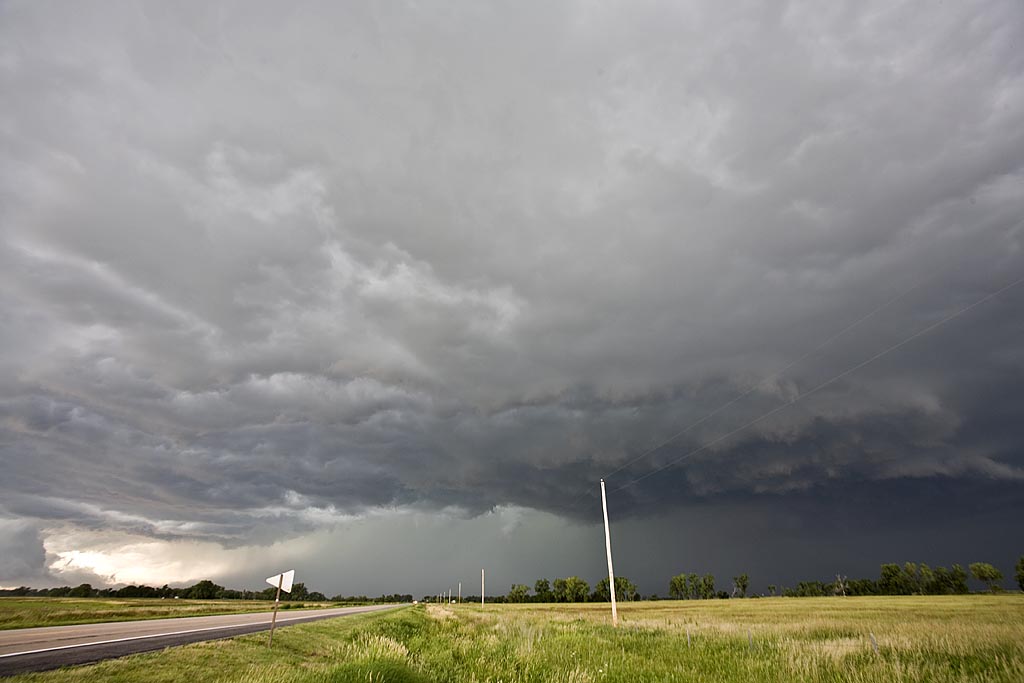
This is a collection of photos from storms I chased during the first 25 days of April. They are at various locations as shown with each photo’s caption.
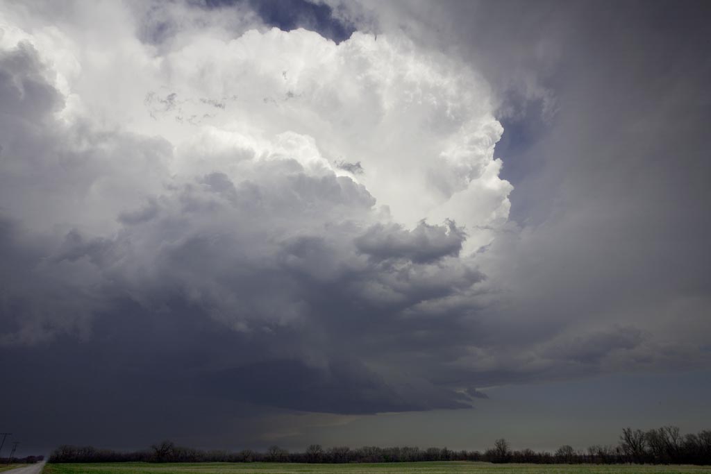
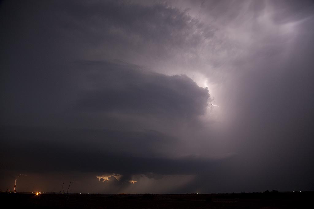
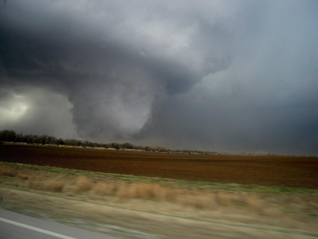
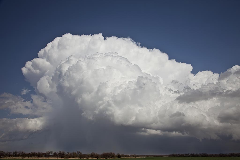
March 23, 2009 Arkansas City, KS Tornadoes
March 23rd was a day full of strong dynamics but limited moisture/instability. My plan was to head to the I-35 corridor south of Wichita and play where the best moisture/instability intersected the dryline. We caught a nice supercell, albeit high based near Kingman, KS which was severe, produced tons of hail and had a respectable wall cloud. However, the best storm of the day would form south of Enid, Ok and move into the Arkansas City, Kansas area by late afternoon and produce two fairly weak tornadoes. The structure of the storm was by far better than I had anticipated. Later, we dropped into the Oklahoma City area to play the tail end storms for lightning. We weren’t disappointed.
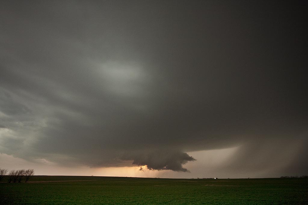
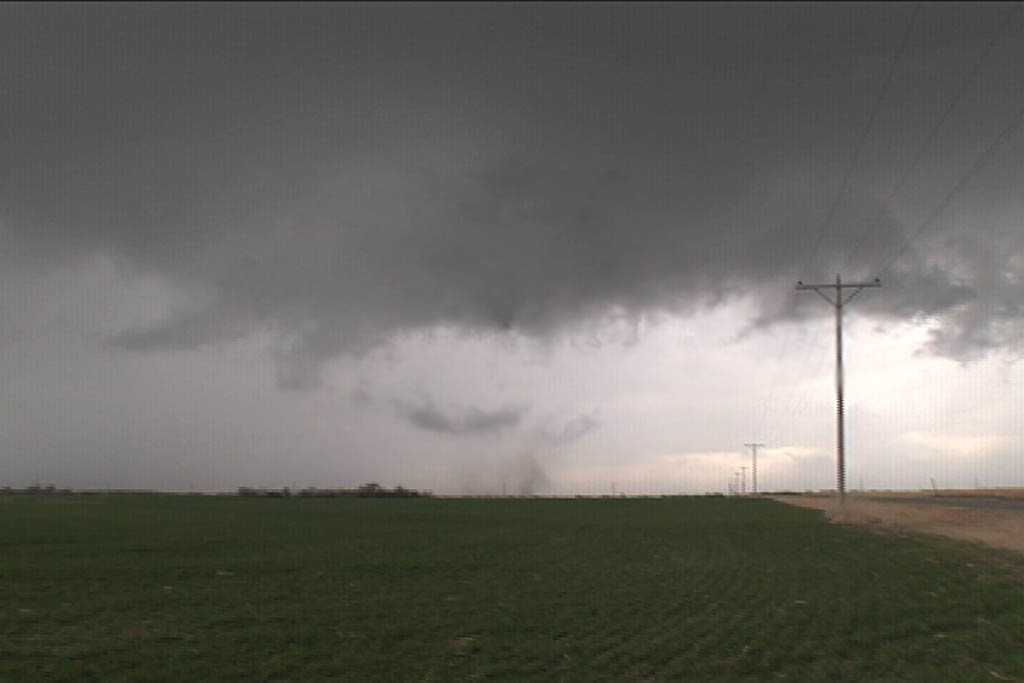
March 7, 2009 Hutchinson, Kansas Tornadic Supercell
March 7th was a day of decent kinematics, but limited moisture. Nonetheless, intense supercell storms formed along the triple point in south central Kansas and intensified as they moved northeast through the instability axis. Most of these storms had decent structure and rotation, with several tornado reports occurring around the Hutchinson area. We intercepted on tornadic storm and several other rotating nicely structured supercells.
February 10, 2009 Texas/Oklahoma Supercells and Tornadoes
February 10th was a surprise set up for this early in the year. Moisture surging northward into southern Oklahoma and north Texas, with strong heating ahead of the dryline and advancing upper level system would set the stage for significant convection this day. We ended up near the Wichita Falls, Texas area via Oklahoma by 4 PM to find the action farther north near and north of Oklahoma City. Storms farther south were fairly linear as strong forcing along the dryline was occurring. We stayed put, near Henrietta, Texas in hope for something to fire ahead of the line or at the tail end, and move into an environment conducive to rotating storms. We were not disappointed. A cluster of towering cumulus developed ahead of the line south of Bowie, Texas, and matured into a magnificent supercell that produced a tornado near Ringgold, Texas. As it crossed the Red River north of St Jo, TX I got a great shot of the developing wedge that would later cause the death and destruction in Lone Grove, Oklahoma. Very successful first chase of the year, but with sad results of the EF4 tornado tearing through Lone Grove.
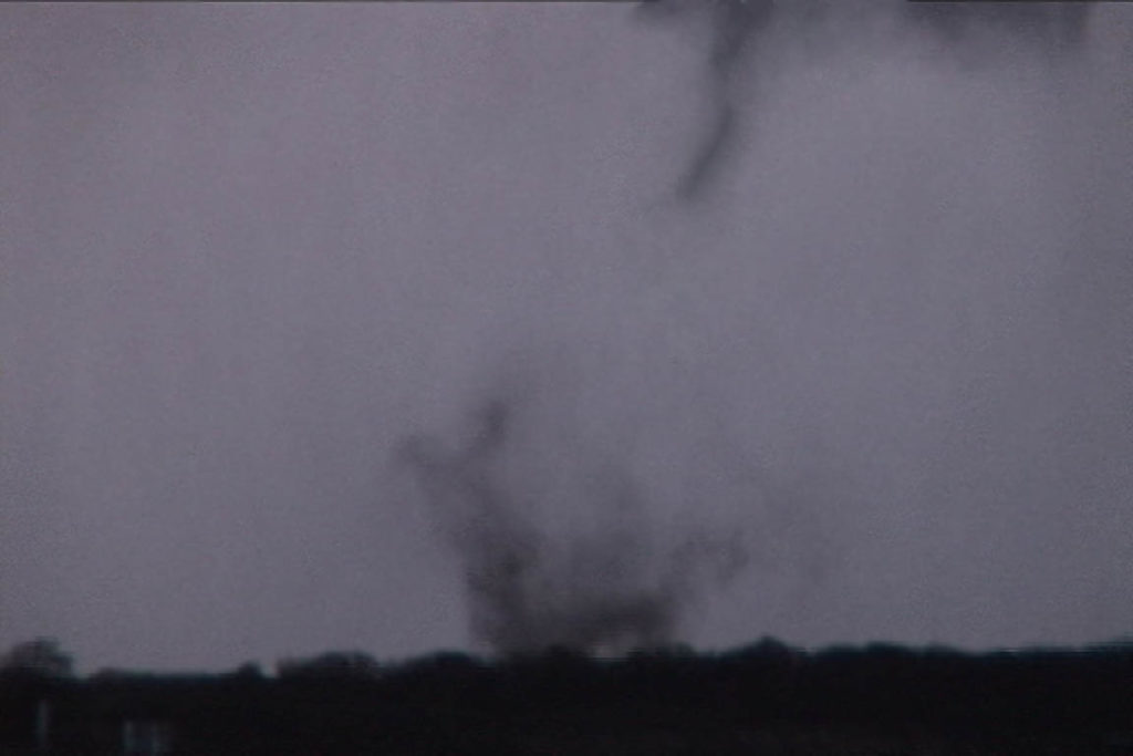
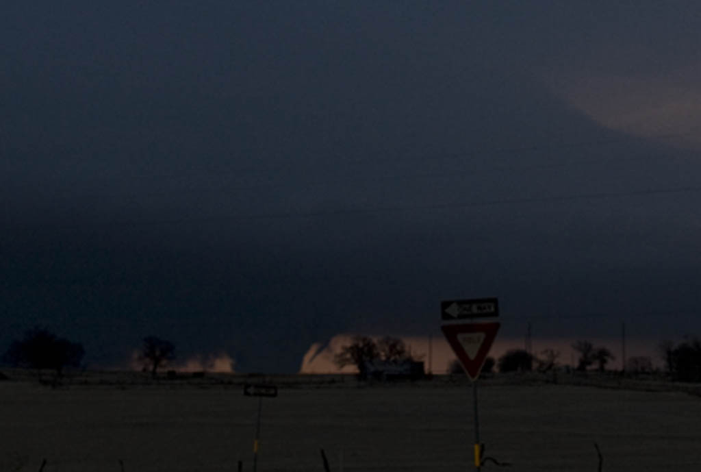
November 5th, 2008 Oklahoma Supercells
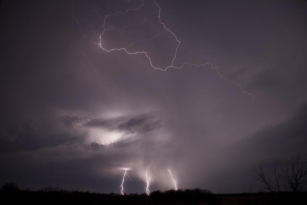
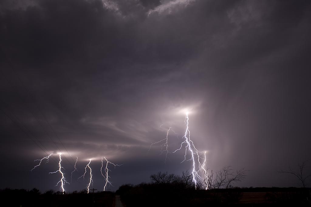
It isn’t often that a setup warrants a long trip to Oklahoma in November. However, the setup for November 5th was more than conducive to rotating supercells. Strong shear, good lift, decent moisture, but a narrow instability axis would support supercells this day. I arrived on scene by mid afternoon just as storms exploded. These supercells were very nice, producing large hail, high winds, wall clouds and several attempts at tornadogenesis, but in the end, no tornadoes would form. After dark the lightning was spectacular. Some of the best I have ever witnessed in November.
August 24th and 25th, 2008 DCVZ Storms and Landspout
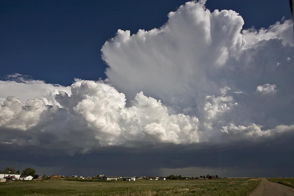
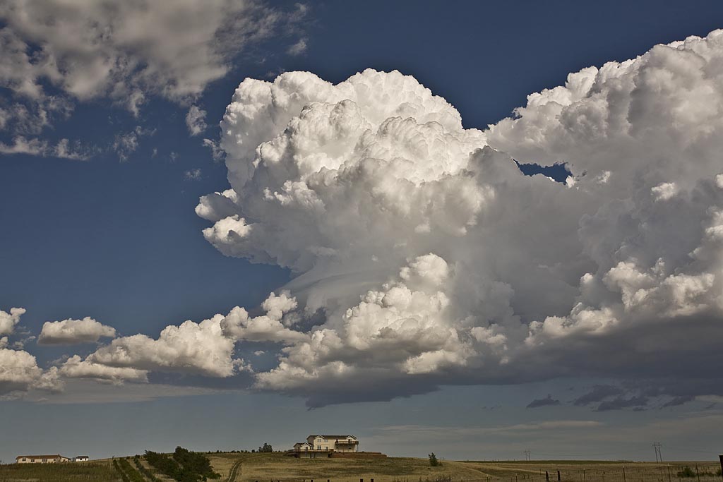
August 24th and 25th featured a classic high CAPE/low shear with the Denver Convergence Vorticity Zone (DCVZ) boundary quite active. Both days events would cause the NWS Denver/Boulder to issue tornado warnings along the boundary with a half dozen landspouts reports. My wife Caryn and I would capture one landspout southwest of our house thanks to her keen eyes. Second day, no tornadoes were reported, but severe storms still occurred.
August 11th through 17th, 2008 Colorado Storms
Over a several day period, severe storms developed over eastern Colorado and western Nebraska. I was able to chase several days. Decent upslope flow, along with fair moisture, instability and shear would allow for organized storms, including supercells to develop. The results of my chases during this time are shown below. Everyday, I was on a storm that had a tornado warning.
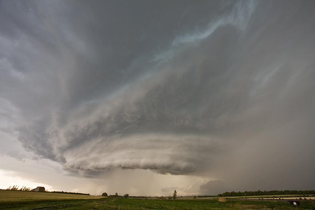
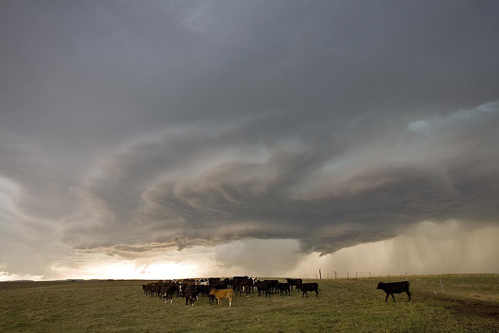
July 19th, 2008 North Dakota Incredible Supercell!
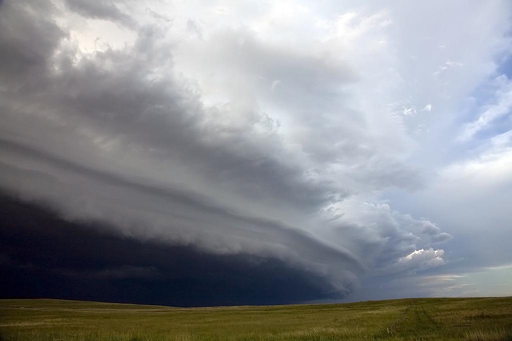
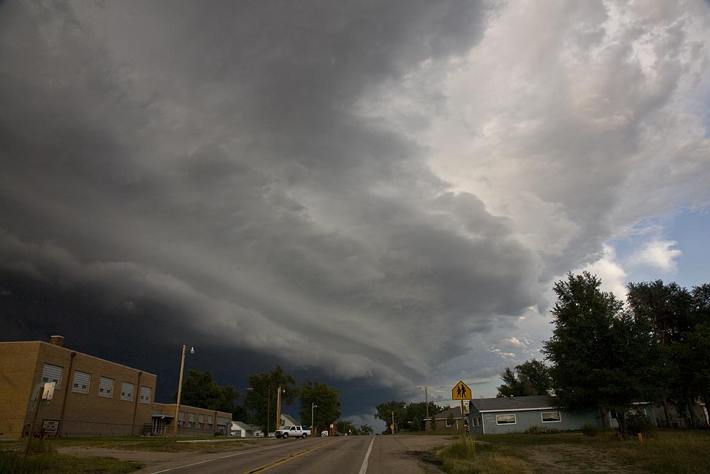
July 19th was a day I thought we would be in Canada. A strong trough, with good moisture and instability tracked along the US and Canada border. A boundary had formed from northwest North Dakota into western Iowa and would be the focal point for severe storms. We intercepted a supercell near Williston, North Dakota and tracked it well south of Bismark, North Dakota, over a 10 hour chase! It was either severe or tornado warned the entire time. What a beautiful storm. It arguably was the prettiest supercell of the year. It produced dozens of severe hail reports including hail baseball sized.
July 18th, 2008 Wyoming Supercell
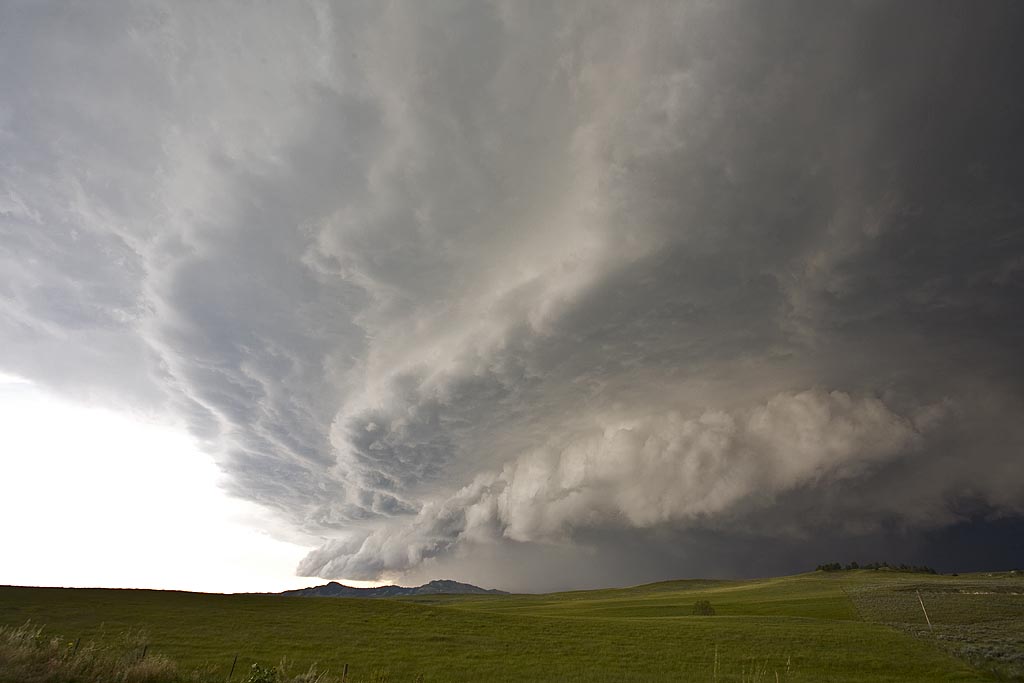
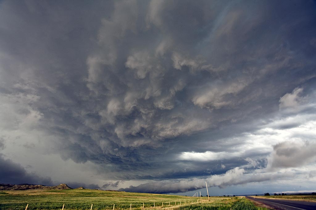
July 18th had good hope for supercells, but less chance for tornadoes. Good shear, along with moderate instability and weak low level moisture would be sufficient for storms to form. By mid afternoon, supercells exploded along the Big Horn mountains and moved eastward across northeast Wyoming. I intercepted this storm north of Gillette. The supercell contained 2″ diameter hail, very strong winds and it tried very hard to produce as it blasted across the Black Hills.
July 15th/16th Nebraska and South Dakota Tornado Warned Storms
July 15 and 16 took me to northern Nebraska and South Dakota to play storms along the dryline. Shear wasn’t expected to be very strong, but enough to help generate supercells, and to my surprise tornado warned supercells. July 15th took us to Nebraska where a large supercell developed west of O’Neill. This storm was fairly high based, but rotating nonetheless. It produced golfball sized hail and had very high winds once it lined out. July 16th took me to central South Dakota along the Missouri River where numerous severe storms formed near dark. Lightning was decent and the hail was large, also to golfball sized.