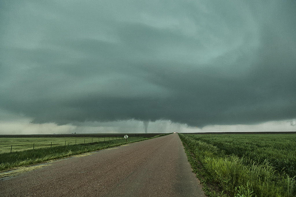
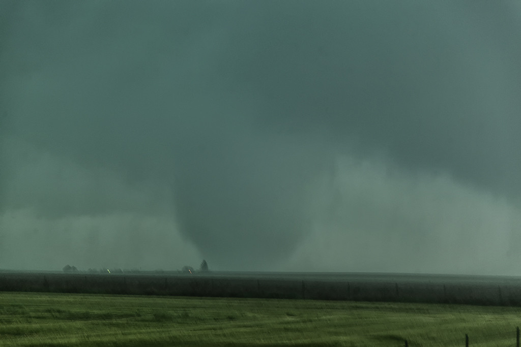
June 5th kept us close to home. A warm front draped over east central Colorado would become the focus for intense supercell storm development by late afternoon. It provided a differential heating boundary where storms erupted on the south side of it and interacted with the strong low level shear on the boundary. We sat between Anton and Cope and watched as a strongly tornadic supercell anchored at that point and produced multiple tornadoes. All in all we counted 4 confirmed tornadoes. The storm was a tad messy, and thus photos from the day clearly show the rain/hail as we took each shot. A couple of the tornadoes appeared to be strong, but fortunately only destroyed a barn in the wide open eastern Colorado plains. Tour 5 and Photo Tour #2 enjoyed the event as both were in great position to watch the entire tornadic cycle of the supercell.


