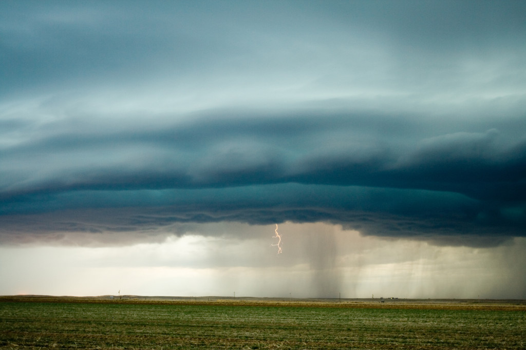
August 24th and 25th featured a classic high CAPE/low shear with the Denver Convergence Vorticity Zone (DCVZ) boundary quite active. Both days events would cause the NWS Denver/Boulder to issue tornado warnings along the boundary with a half dozen landspouts reports. My wife Caryn and I would capture one landspout southwest of our house thanks to her keen eyes. Second day, no tornadoes were reported, but severe storms still occurred.
June 1st, 2007 Colorado High Based Severe Storms
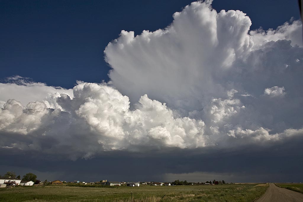
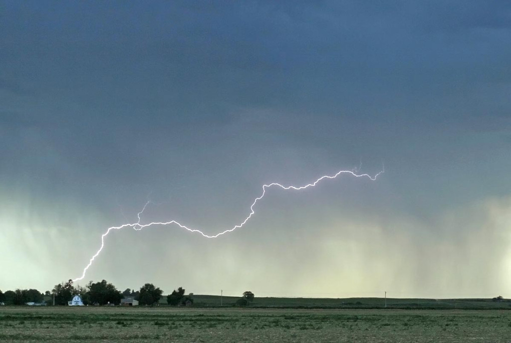
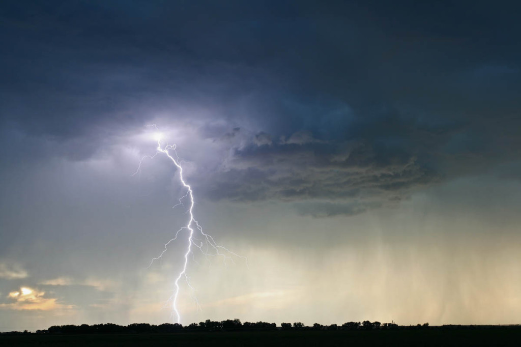
June 1st didn’t have tremendous promise as a short wave moved across Colorado where there was extremely limited surface moisture. By late afternoon a few high based storms developed west of Sterling and provided a beautiful lightning show and rainbow.
March 23rd/24th, 2007 Eastern Colorado and Southwest Nebraska Storms
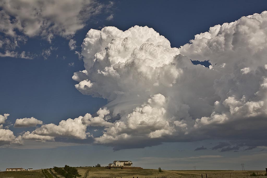
A strong closed low was to be the culprit for sever weather across Colorado and Nebraska on March 23rd and 24th. the most intense storms and tornadic supercells developed over eastern New Mexico, while Colorado just didn’t have enough deep moisture to get intense storms to form. Marginal supercell structures formed and were quite photogenic. On the 24th, poor lapse rates and marginal moisture would spell doom for what appeared on paper to be a decent set up. A couple of tornado occurred in northeast Colorado on Saturday, with a possible brief tornado near Hayes Center, Nebraska.