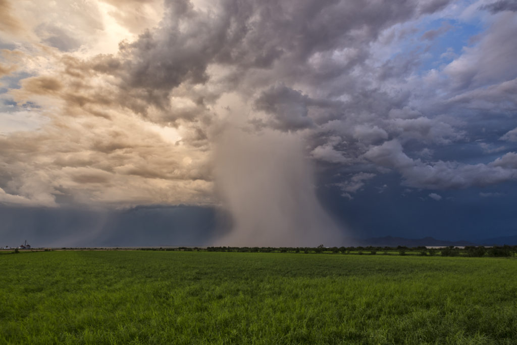
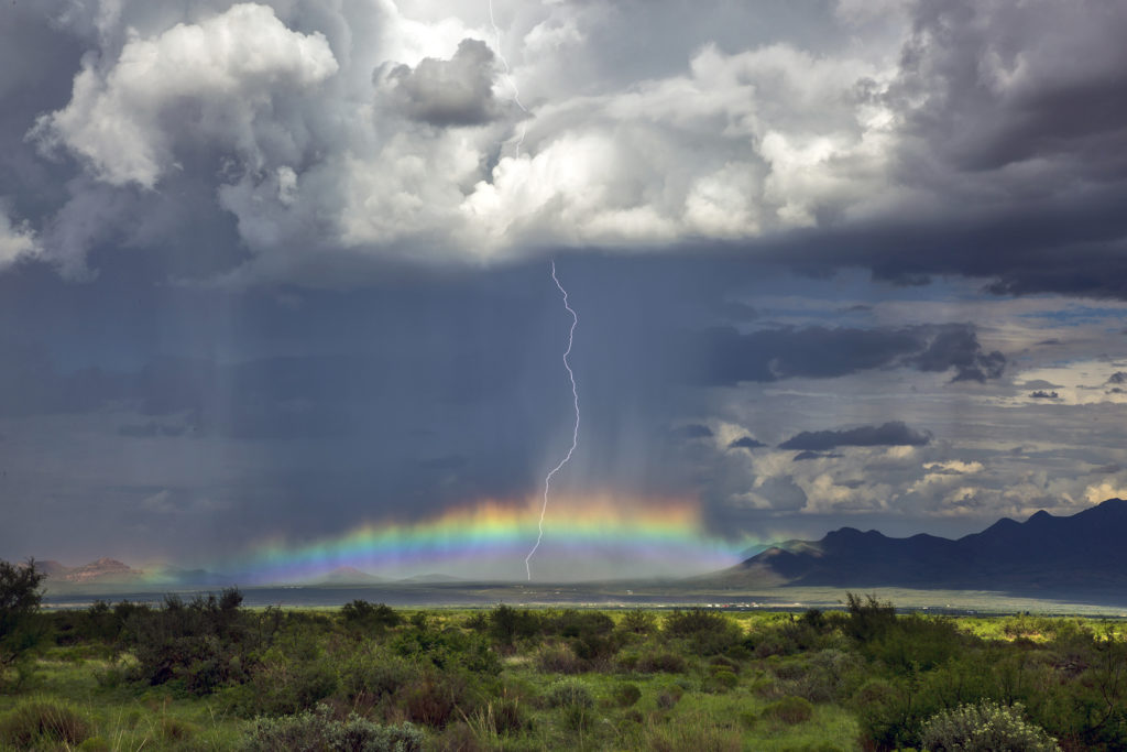
Each year, in conjunction with our sister website, www.southwestphotographytours.com, we spend 2 weeks in Arizona conducting our popular Desert Thunder Tours. We keep these as small one van tours, with 6 guests. The Arizona monsoon season peaks in July and August, with southern Arizona receiving the brunt of the thunderstorm activity. We had a very successful monsoon season in 2017, with storms on 75% of the days! We travel anywhere we believe the most intense, and pretty, storms will occur. We spent time in southeast, southern and central Arizona, and even in southwest New Mexico. We photographed storms over Saguaro National Park, Kitt Peak, the desert floors, Sedona, Cathedral Rock, the Chiricahuas, the Superstition Mountains and many others. Some of the most spectacular lightning in the country occurs here each season! Below are many photos of the events we captured while on tour this season. We hope you enjoy the photos and we hope to see you with us on tour in the years ahead!
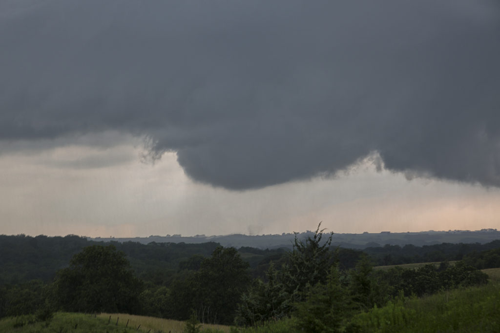
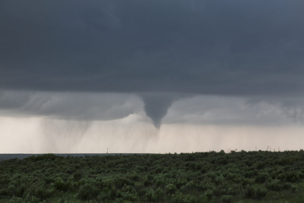
June 28th Iowa Tornadoes
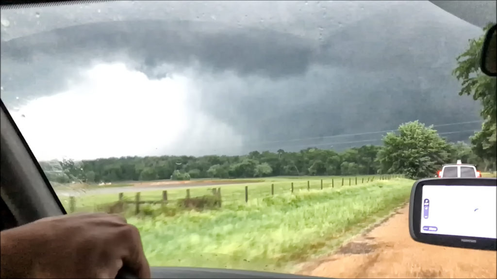
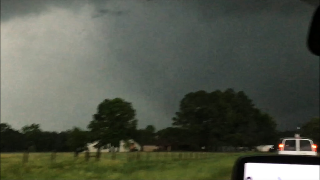
June 28th held good promise for supercell storms and potentially tornadic ones to boot. Great moisture, instability and wind shear were forecast across southwest through northeast Iowa. A composite warm front/outflow boundary existed along that corridor and would be to focal point for several tornadic supercells. We were in the Des Moines area and drifted southwest towards Winterset. Soon a cluster of updrafts rapidly formed at the triple point south of Nebraska City, Nebraska. One dominant storm emerged from them. As we blasted west, then south towards Bedford, Iowa (our target!) a tornadic storm developed southwest of Corning, or about 25 miles north of the Bedford target. Since this storm was insanely electrified, had a large wall cloud and great structure, we couldn’t leave it to drop to Bedford for the approaching tornadic storm west of town. It became tornado warned, like the Bedford storm did as well. We stayed with it and watched several tornadoes form and the storm cycle numerous times. We thought it would produce a significant tornado a few times. Most were short lived and sometimes hard to view. Still, a very successful day, 4 tornadoes later, and a pretty supercell. There were over a dozen tornadoes in Iowa this day and a couple were very pretty. Late June and July in Iowa can sometimes be magical!
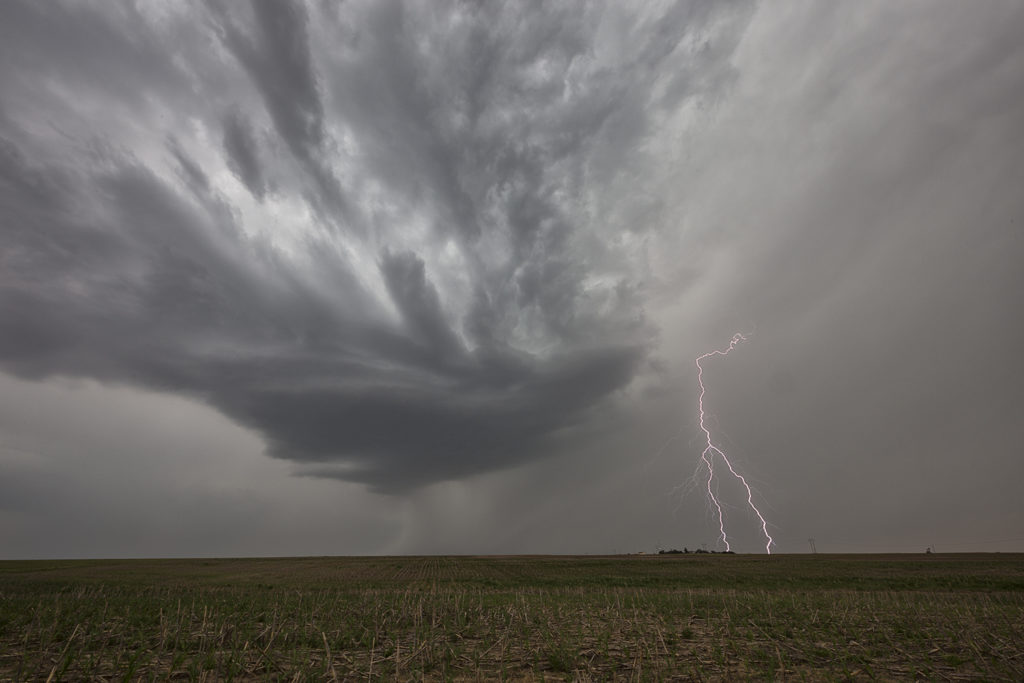
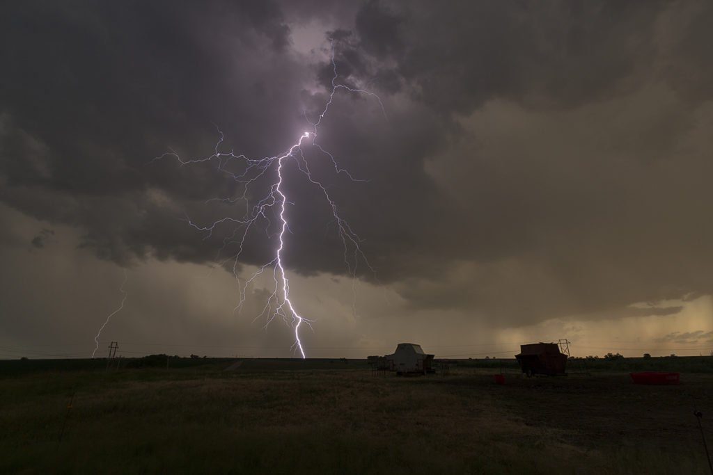
June 20th Southern Nebraska Lightningfest
June 20th took us to southern Nebraska. Excessive heat, steep lapse rates, moderate CAPE and moisture, as well as a local boundary across the I-80 corridor would set the stage for severe storms this afternoon and evening. Clusters of storms formed west of Kearney, NE and drifted south. Their outflows kicked up new storms ahead of them by early evening. Due to steep lapse rates and optimum freezing levels, the storms were incredibly electrified! Some of the best lightning of 2017 occurred that evening, well into the night time hours. We stayed in front of the cluster of severe storms into Kansas well into the night time hours. A great day for the lightning lovers! And who isn’t one????
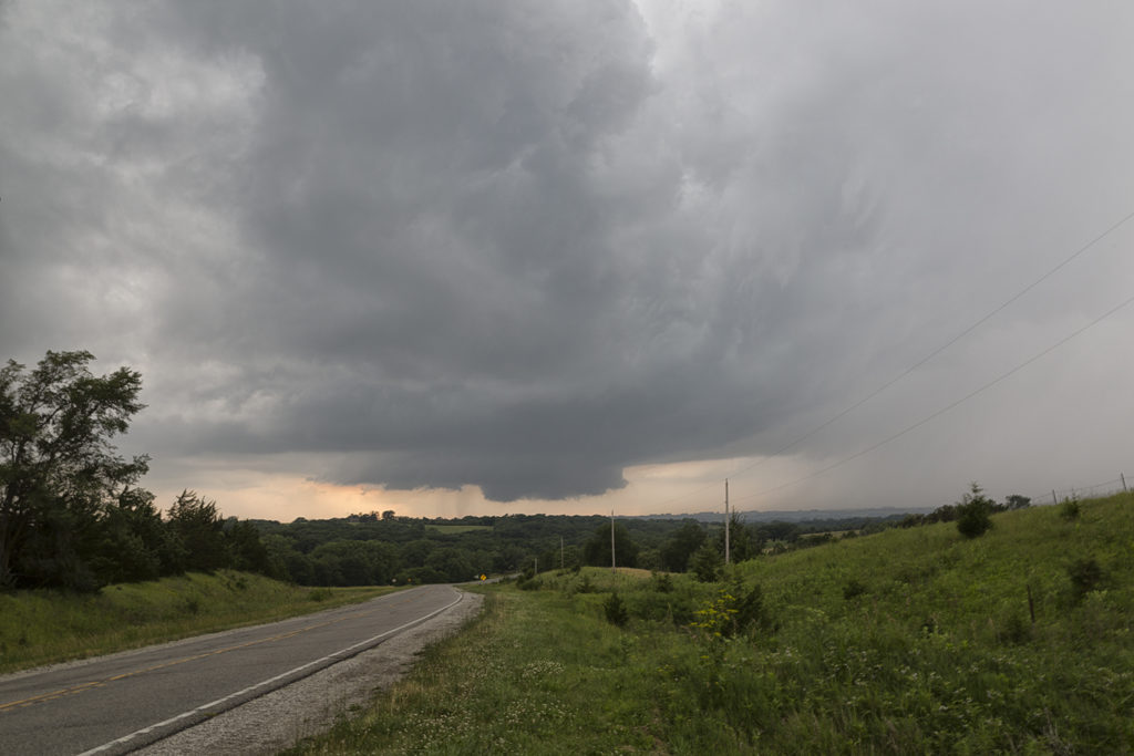
June 15th Central Kansas Supercell
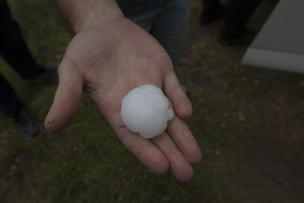
What appeared to be a marginal risk day in Kansas ended up producing a decent supercell. High CAPE, moderate shear and moisture, with convergence along an old frontal boundary, would spawn severe storms this day. A couple supercells became tornado warned not far from Hays. They also produced hail baseball sized. Very steep lapse rates would be the culprit for the large hail, as well as decent directional and speed shear. The storms persisted through early evening as the turned southeast towards the Wichita, Kansas area, maintaining their severity all the way.
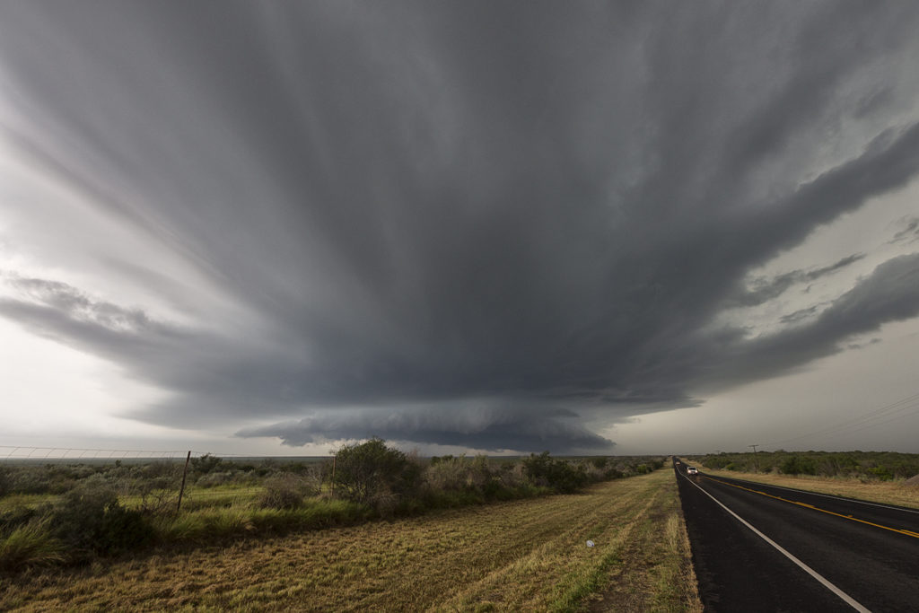
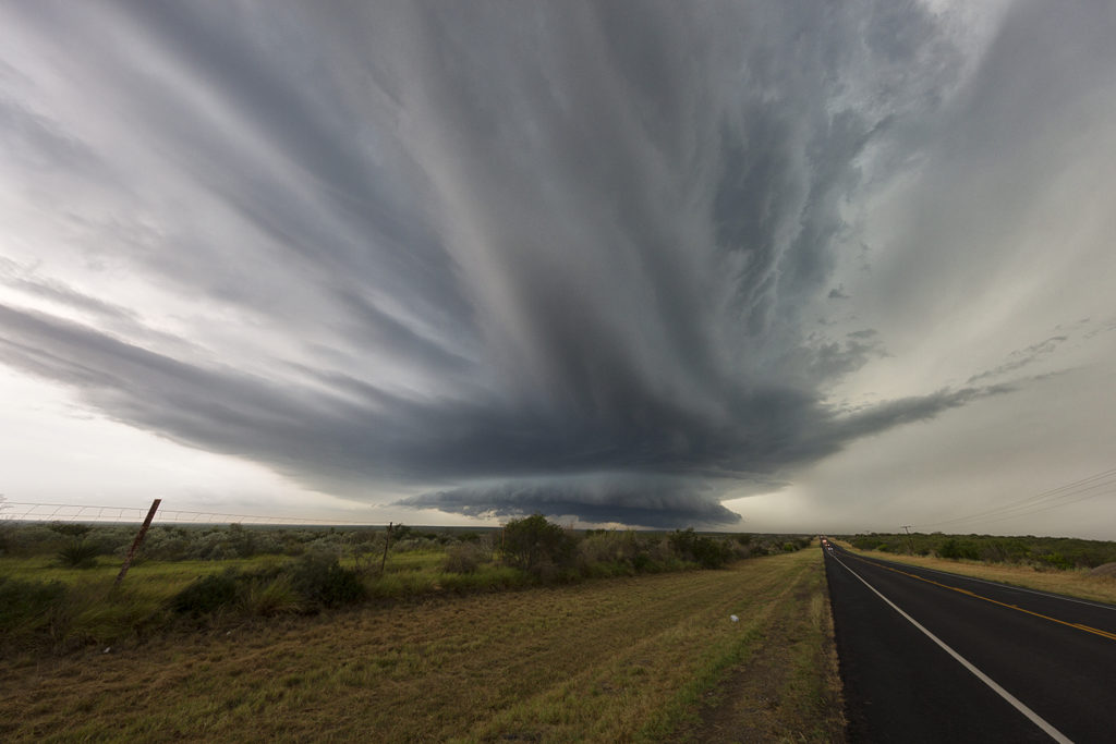
May 20th South Texas Supercells
May 20th took Tour 4 and Photo Tour #1 to far south Texas. This is an area we don’t frequent too often due to usually poor results. Murky skies, little shear and messy storms are what often occur here. Today would be different though! Abundant moisture, high instability and moderate wind shear would kick off storms off a cold front and push them southeast. We arrived near George West, Texas to be treated with a very pretty supercell!! This storm had classic supercell structure and was a lightning/hail machine! We stayed with the storm for a few hours till it dissipated south of town. One of the prettiest supercells of the season to date!
May 16th Texas Panhandle and Southwest Oklahoma Tornadic Supercells
May 16th was advertised as a great potential day. The dryline in the Texas panhandle would be the focus for supercell development. It did not disappoint! Mid afternoon brought several supercells to the area, with one in particular near McLean. Strong shear, deep moisture, great instability and lift would set the stage for several tornadoes to form this day. Most tornadoes occurred over open countryside, however one strong EF3 tornado did strike the Elk City, Oklahoma area causing significant damage. We witnessed the McLean tornado from it’s birth to death, then followed the Elk City storm from the TX/OK border to Elk City, where we chose to let it go. The tornado was completely rain wrapped and not visible. Storm structure was also fantastic this day, and the hail was huge, up to softball sized. Great first day for Tour 4!
May 15th Texas Panhandle Supercell
May 15th was the arrival day for Tour 4. We did our usual arrival day chase and headed to the panhandle. Moisture wasn’t optimum, but was sufficient for severe storms. Shear was great, and most storms that developed spun quite nicely. We caught one storm near 4 Way and followed it to Stinnett, where we were able to watch it roll across the countryside. This supercell would produce hail baseball size and had nice structure. A great way to start Tour 4!
April 29th Canton, Texas Violent Tornado
April 29th was the inbetween day from Tour 1 and 2. However, we also ran an on call tour this day. Many guests from Tour 2, and the On Call tour, went to northeast Texas to chase. As things started to become clear, we blasted south towards the Canton, Texas area. Strong southeast surface winds, extreme instability, high dewpoints in the mid 70s and strong shear set the stage for supercell storms to form and intensify as they moved northeast. Several tornadoes formed as storms matured, with one tornado in particular staying on the ground for 50 miles and over 2.5 hours, getting a rating of EF4! Unfortunately this storm caused significant damage and fatalities in Canton, Texas as well as Fruitvale, Texas. Our hearts go out to those who suffered this day and we hope for a speedy recovery.
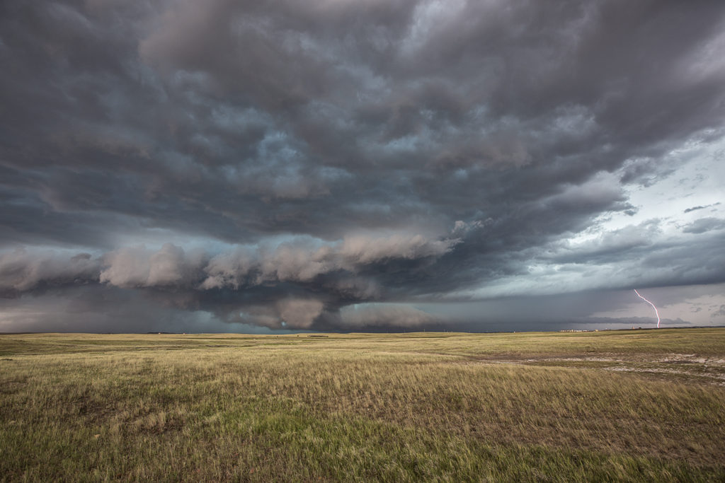
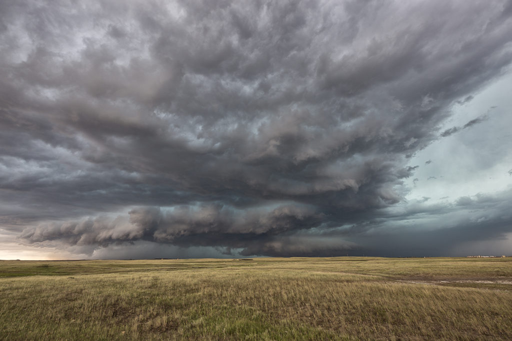
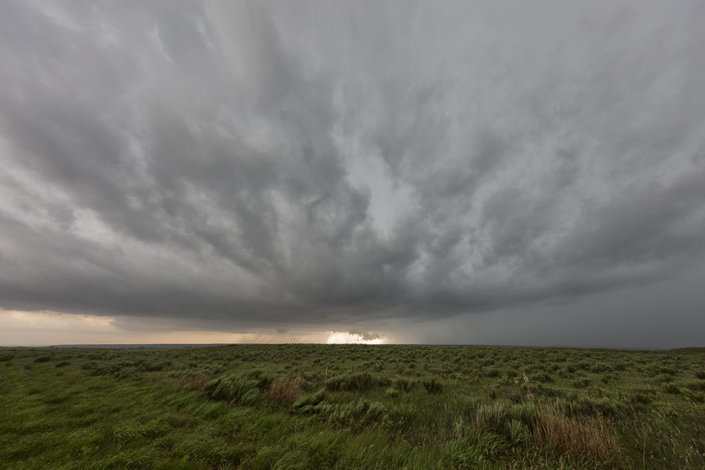
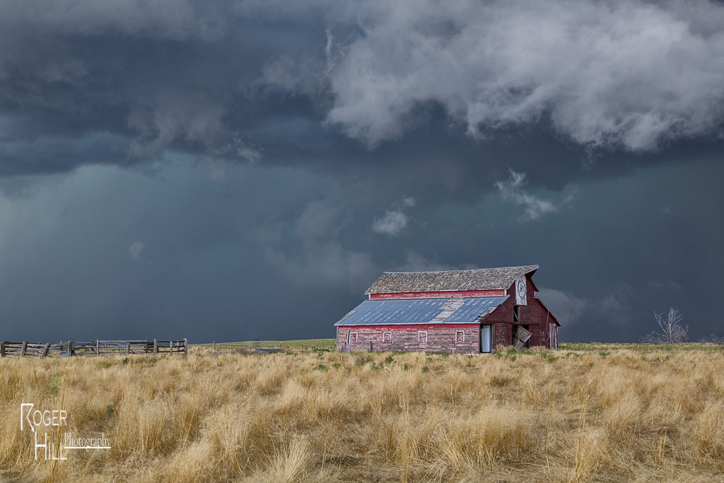
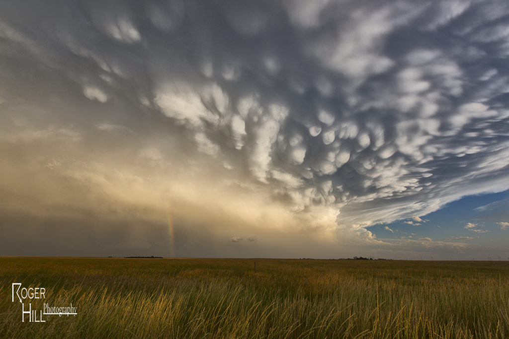
July 17th Northeast Colorado Tornado Warned Supercell
July 17th was a high plains upslope set up. Southeast winds along a boundary would funnel moisture into the Cheyenne ridge. A supercell formed early afternoon near Chugwater, WY and would right turn and track down the boundary into northeast Colorado. This storm was outflow dominant most of its life cycle and was a major hail producer. In Colorado it became tornado warned, although not a big threat in my opinion since it was outflow dominant. We came across some beautiful landscapes to photograph the storm, and everyone had a great time with it. The storm never produced a tornado but it did produce significant hail the size of baseballs along its path. This was to be the last great day for the season as we wrapped up tours and headed home to Denver. Thank you all for a wonderful tour season. We have the best guests and guides on the planet!
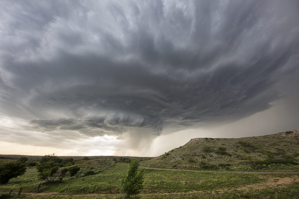
July 10th Eastern Montana Tornado Warned Supercell
July 10th was day one for the Great North Tornado Hunt. A strong area of low pressure over southern Montana and an associated warm front extending east of there would provide the lift to produce numerous storms, including a few supercells. We intercepted the only tornado warned supercell in the country near Baker, Montana and followed it eastward along the boundary as it spun wildly. A few of times it appeared to produce a couple of funnels and even a brief dirt swirl under one, but the story with this beast was the pretty structure and amazing green colors. This supercell produced very large baseball sized hail and had long inflow bands eastward from the updraft. The open prairieland of eastern Montana always gives a great foreground for one of nature’s most violent storms, the supercell. A fun way to start off the final tour of the year!