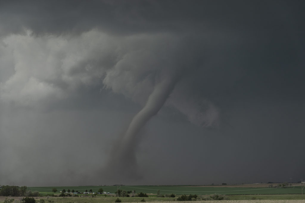
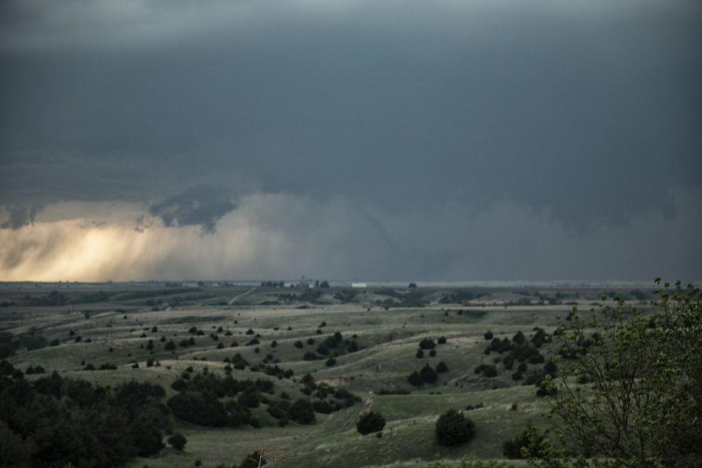
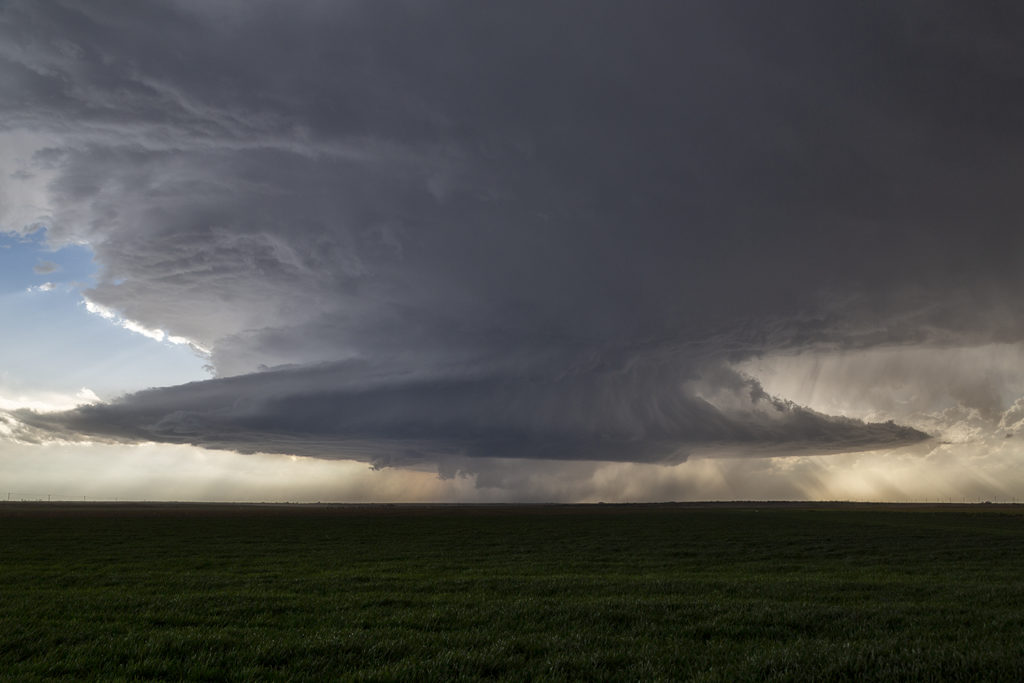
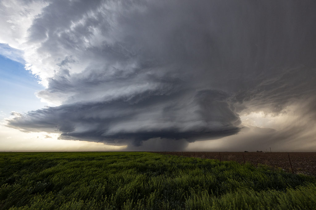
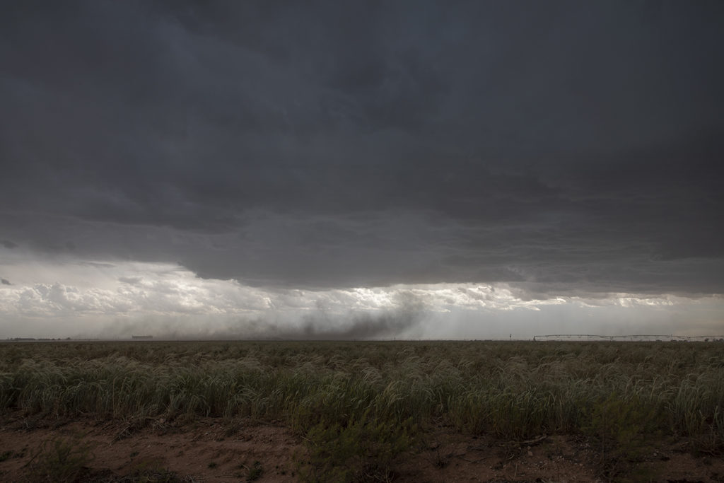
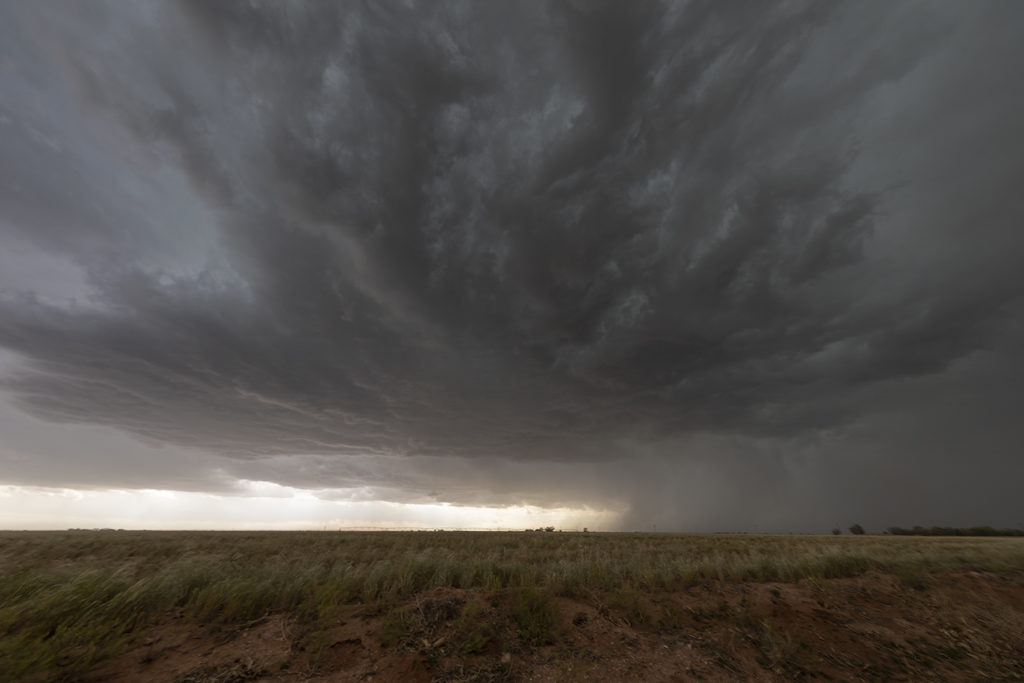
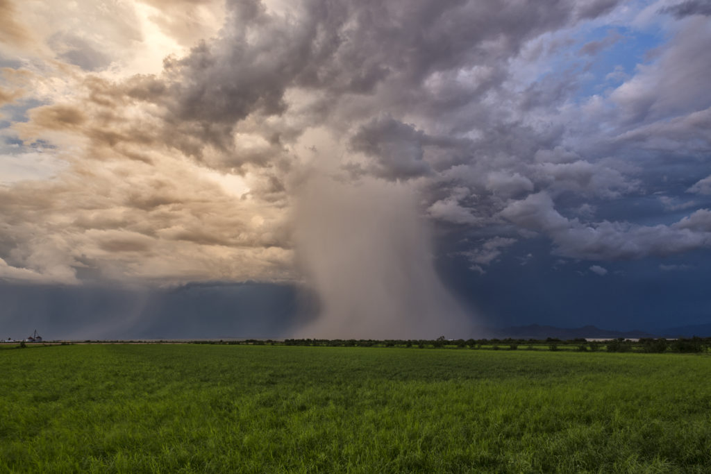
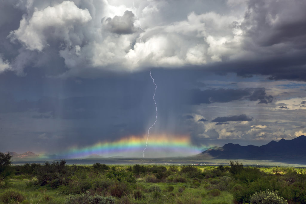
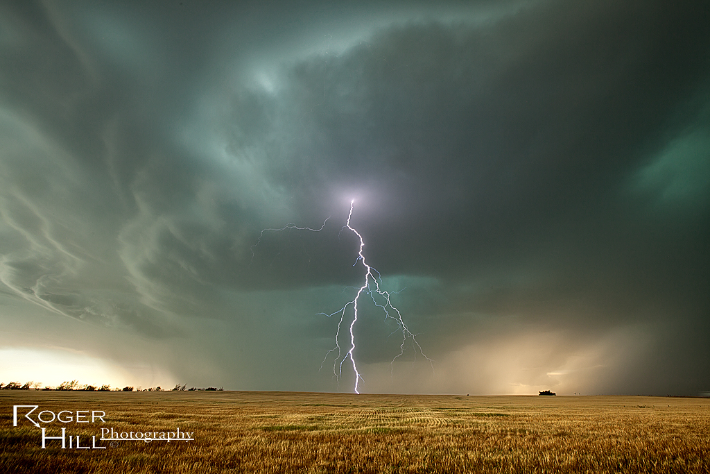
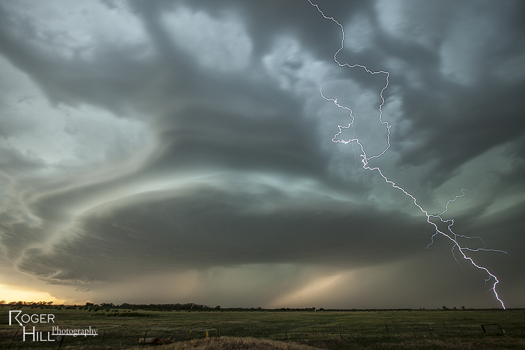
May 17th was an amazing day. Storms formed along a dryline in northwest Kansas and northeast Colorado and pushed into southwest Nebraska. One supercell approached McCook, NE and dropped a few tornadoes along the way. Strong wind shear, great instability and good surface moisture set the stage for this and other storms to form. The first tornado was quite pretty as it tracked just west of town. A couple more formed in the hills where roads were bad and thus not greatly visible from where we had to intercept them. None the less the storm was a very pretty supercell and long lived. It persisted for several hours before weakening north of Kearney, Nebraska.


