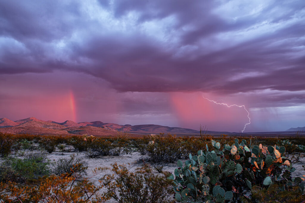
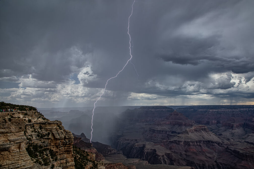
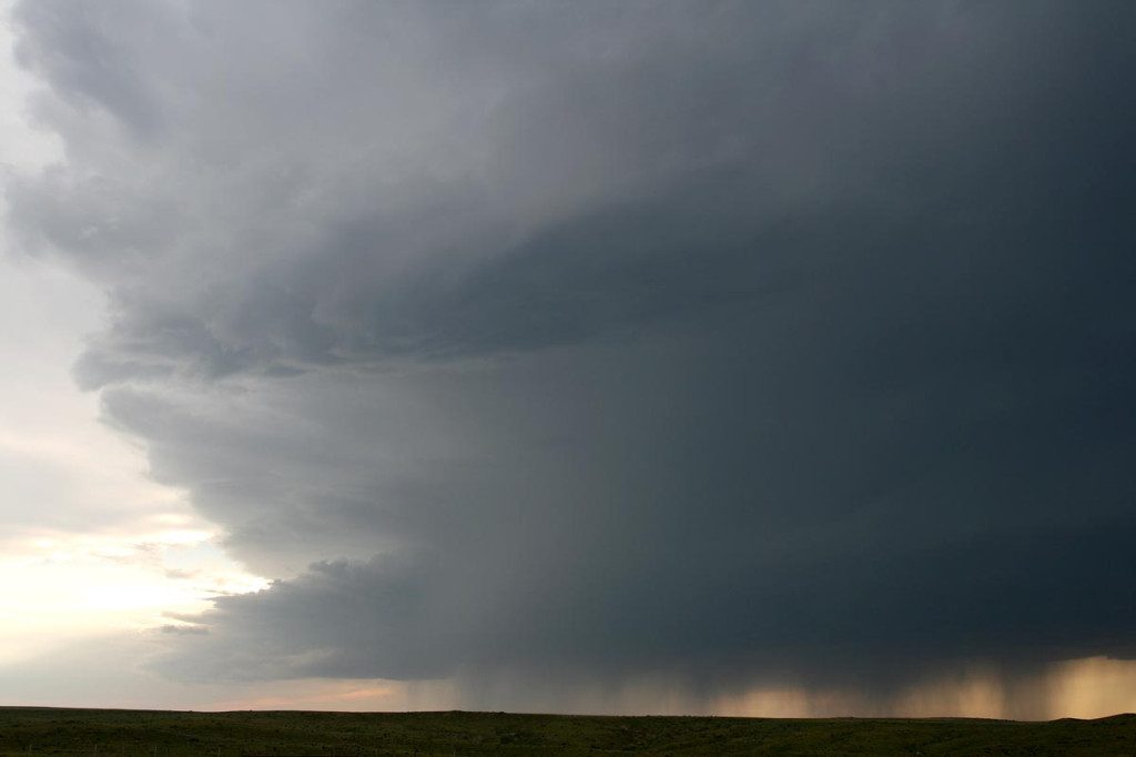
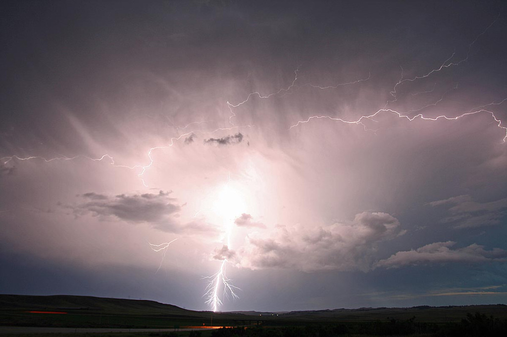
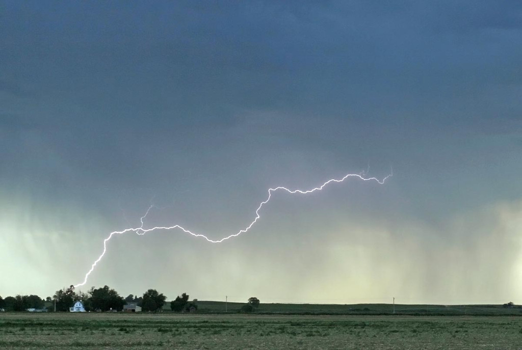
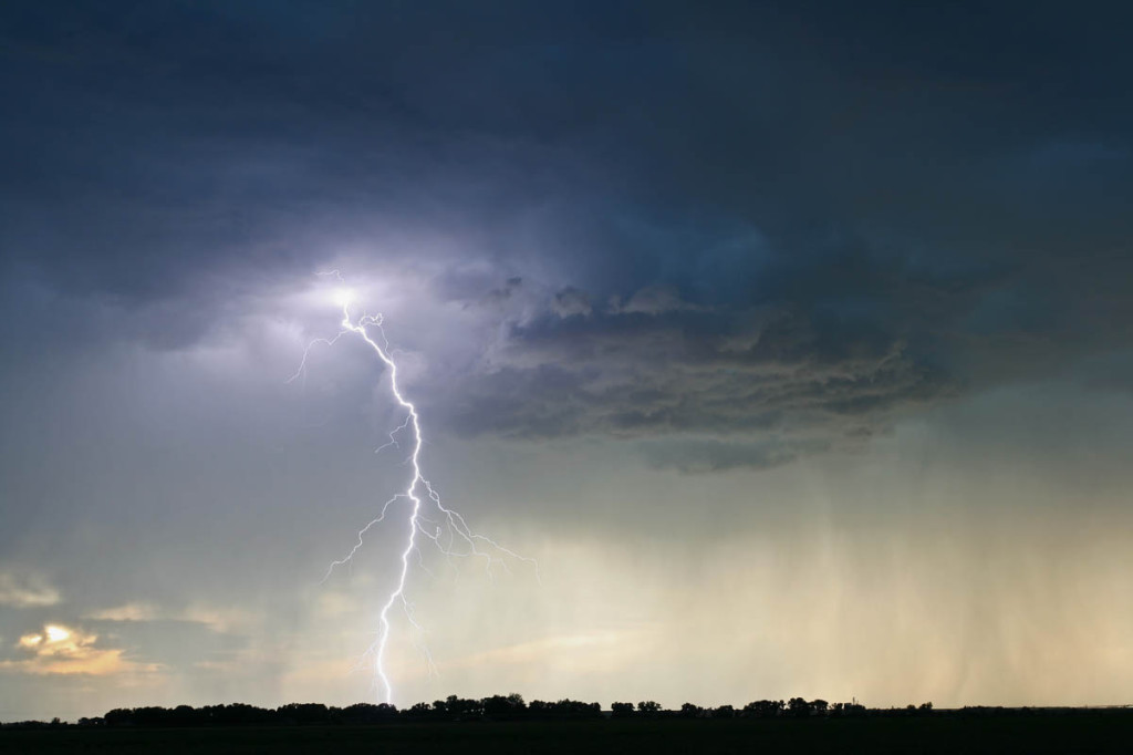
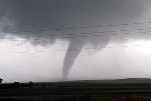
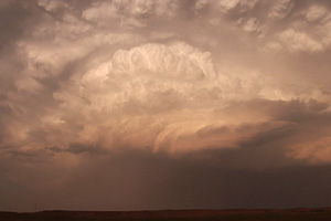
Tag Archives | rainbow

June 27th, 2007 Wyoming Beauty

June 27th did not hold great promise for severe weather. However, the threat for strong storms was enough to get us north from Denver to north central Wyoming, south of Buffalo. Several storms developed, a couple marginally severe, and gave us a pretty scenic view interacting with the mountains and plains.

June 1st, 2007 Colorado High Based Severe Storms

June 1st didn’t have tremendous promise as a short wave moved across Colorado where there was extremely limited surface moisture. By late afternoon a few high based storms developed west of Sterling and provided a beautiful lightning show and rainbow.

August 24th, 2006 South Dakota Tornado Outbreak

What an event!! After watching model run after model run I couldn’t resist the 1700 mile round trip to eastern South Dakota from Denver to chase this one!!! I arrived in Sioux Falls, SD around 3 PM. I couldn’t decide whether to sit tight, head to southern Minnesota or head west towards the advancing front. Each situation had its positives and negatives. After much analysis and some very quick driving, I decided to head west towards the front, which now was firing a string of supercells along it. I targeted the southern supercell coming across the Missouri river north of Pierre. I caught up with it east of Oneida and what a sight it was!!! It took about 10 minutes for it to drop its first of 7 tornadoes that I saw. The structure was second to none as this beautiful striated updraft produced one tornado after another. The largest and strongest tornado developed southwest of Wessington and tracked southeast near Wolsey to southwest of Huron before dissipating. It stayed on the ground over 40 minutes and resembled the Manchester, SD tornado from June 24, 2003 (which I saw from the south side). Finally, the storm produced one last tornado southeast of Huron as it weakened moving towards I-29.

June 13th, 2006 South Dakota Badlands Supercell

I wasn’t expecting much this day, but couldn’t resist a play off the Black Hills of South Dakota. By mid afternoon a VERY high based supercell formed near Hot Springs. As it moved off the hills, it weakened and almost died. Then, not far from the western edge of the Pine Ridge Reservation, it intensified and became a wonderful high based hailer. The structure was as textbook of an LP as one could get. The most beautiful part was right at sunset as the sun lit the updraft  and anvil, complete with reflected convection in the anvil.

May 30, 2006 Limon, CO Supercell

May 30th was Caryn’s first solo chase this year. While I was on tour in Oklahoma, she went out and caught a beautifully structured supercell that developed on the Palmer Divide and tracked eastward along I-70.

Caryn’s summary:

Since Roger was unable to make the Palmer Divide storm, I thought it would be a good idea to keep peace in the family and go chase it myself.   Errrr…..actually, I LOVE doing this stuff.  There was no need for Roger to ask me twice!   I was gone and out the door with a CHARGED camera in hand.

As I drew nearer the Agate exit, I kept my eye on this beautifully formed supercell south of I-70.   There was very obvious rotation and my first thought was, “could it possibly turn out to be another “Limon day”?   (the speedometer sure started acting like it.)  Ma Nature may have  robbed me of another show of 6 tornadoes but the following pictures were just as spectacular.  I had a great vantage point on I-70 east all the way towards Genoa.   Enjoy!