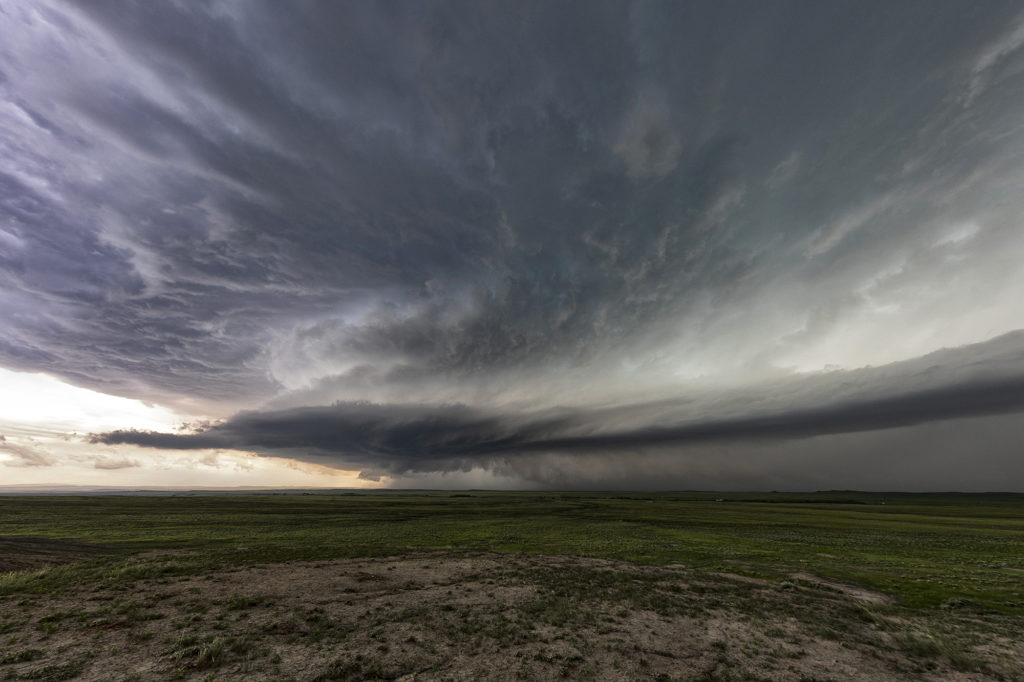
Fantastic wind shear was available on June 19th, however, due to a frontal passage, only modest moisture was present off the Big Horn mountains of southeast Montana. This allowed only about 1000 CAPE to build in the area. Fortunately sometimes great shear can compensate for a bit of a lack in surface moisture. A storm formed just south of the Wyoming/Montana border and tracked east just north of the boundary. As it approached the Alzada, MT area it started spinning hard and became tornado warned. It pulsed up and down a few times as it moved into northwest South Dakota, eventually crossing into southern North Dakota near Hettinger. East of town we had to core punch it to get back in front of it and were promptly greeted with tons of golfball sized hail. (Video will be on our SLT Youtube channel soon!) Getting back in front of it, and moved east northeast and took us to Bismark where we spent the night being rocked to sleep by constant thunder. A great day, and a supercell that survived over a 250 mile distance! Enjoy the pics!


