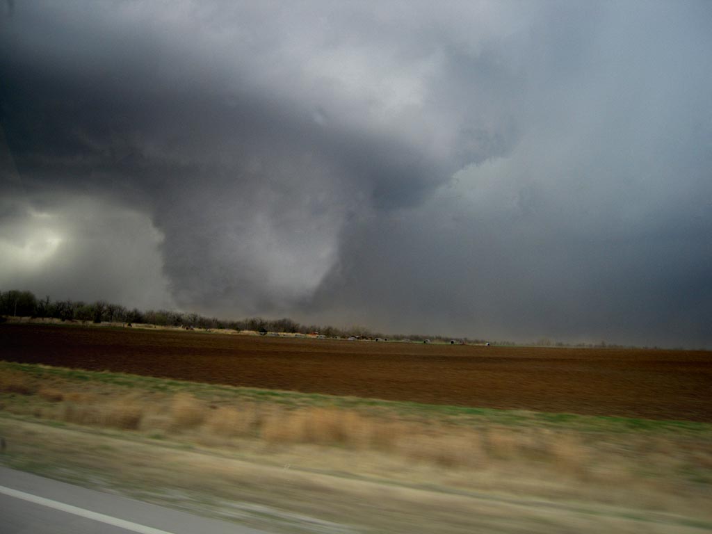
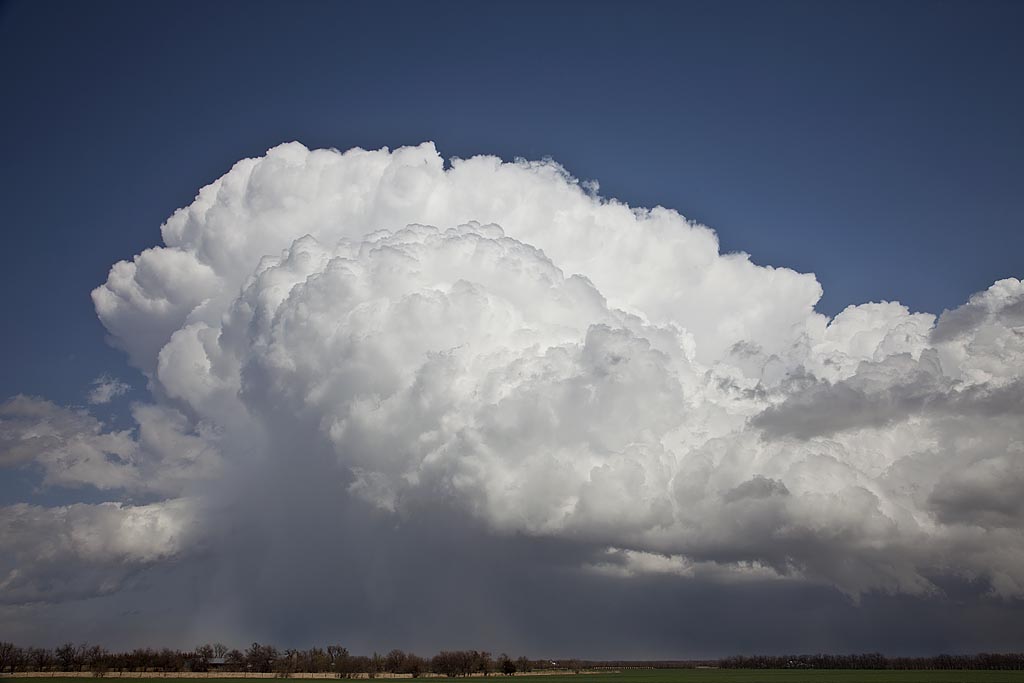
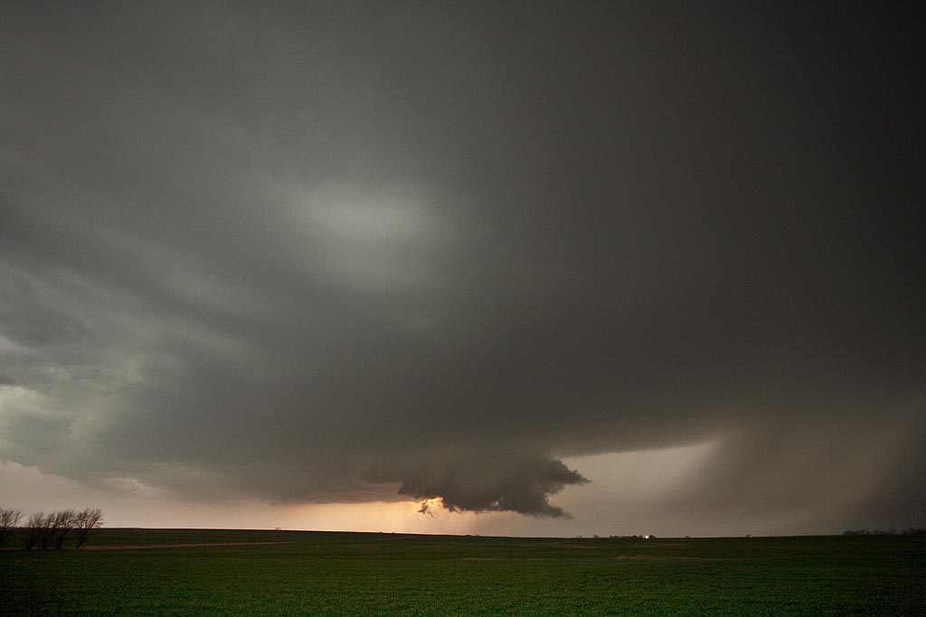
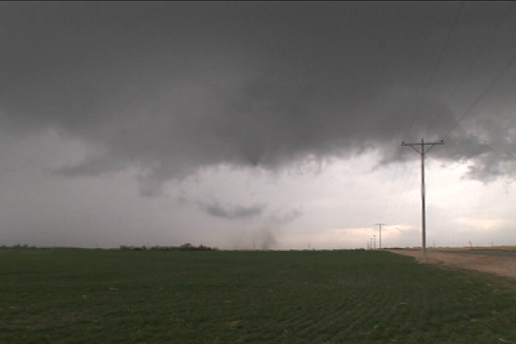
March 23rd was a day full of strong dynamics but limited moisture/instability. My plan was to head to the I-35 corridor south of Wichita and play where the best moisture/instability intersected the dryline. We caught a nice supercell, albeit high based near Kingman, KS which was severe, produced tons of hail and had a respectable wall cloud. However, the best storm of the day would form south of Enid, Ok and move into the Arkansas City, Kansas area by late afternoon and produce two fairly weak tornadoes. The structure of the storm was by far better than I had anticipated. Later, we dropped into the Oklahoma City area to play the tail end storms for lightning. We weren’t disappointed.
March 7, 2009 Hutchinson, Kansas Tornadic Supercell
March 7th was a day of decent kinematics, but limited moisture. Nonetheless, intense supercell storms formed along the triple point in south central Kansas and intensified as they moved northeast through the instability axis. Most of these storms had decent structure and rotation, with several tornado reports occurring around the Hutchinson area. We intercepted on tornadic storm and several other rotating nicely structured supercells.


