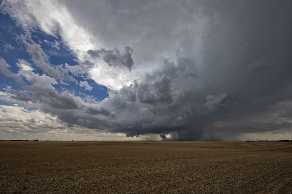
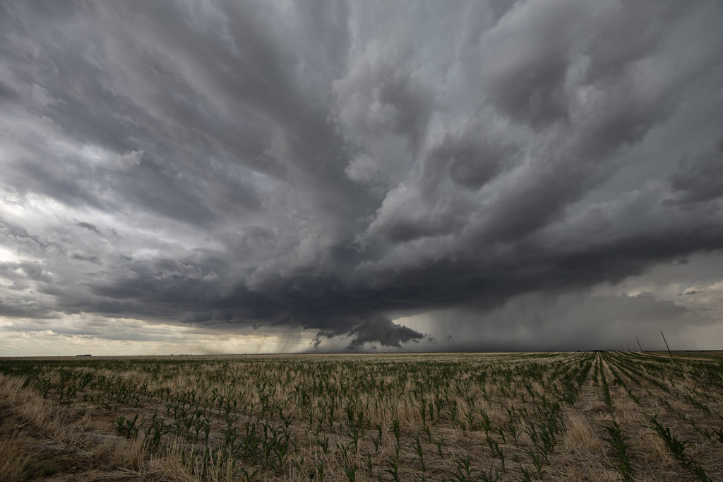
July 6th took us to eastern Colorado. Good moisture and instability, along with modest shear and upslope flow into the Palmer Divide would set the stage for supercells and multicells. One such storm formed just west of Limon and right turned southeast towards Hugo. As it did, the structure improved as severe thunderstorm warnings were issued for golfball sized hail. As it moved further east, it became better organized and was tornado warned. It didn’t produce one, but you could clearly see the rotation in the storms updraft. As it moved furth east towards Eads, it encountered drier are and eventually weakened. Pretty storm, and the eastern plains of Colorado certainly needed all the moisture it can get! Enjoy the photos!


