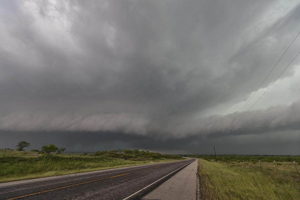
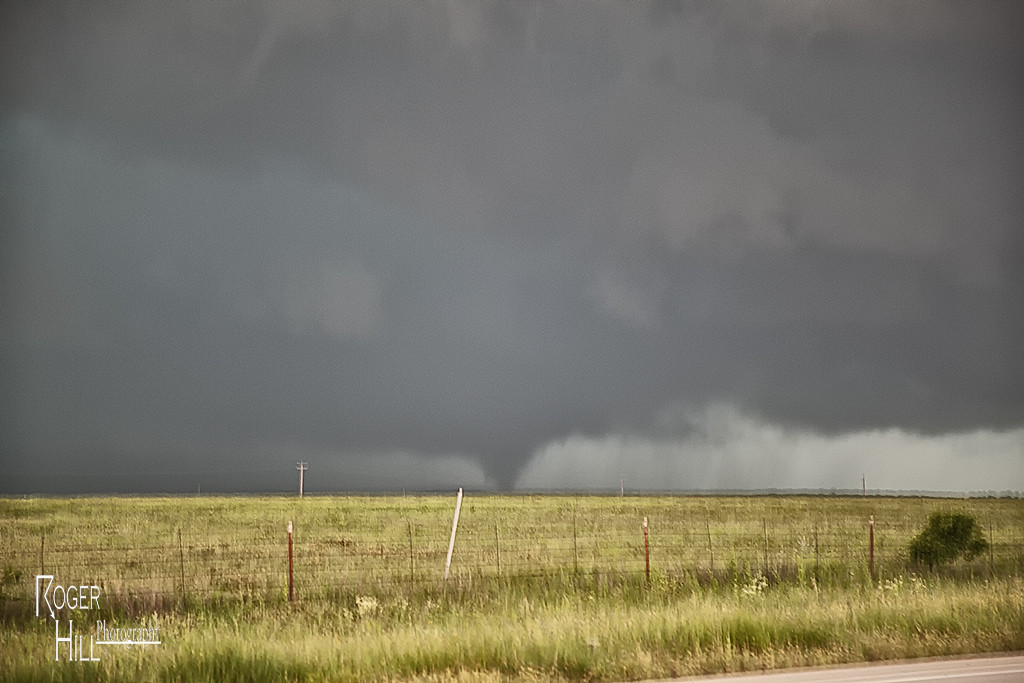
May 8th had significant severe weather potential. Several boundaries would come into play that would focus severe storms and tornado potential. We chose an outflow boundary that extended from near Lubbock eastward to north of Dallas. A supercell storm formed along the boundary and became quite intense. As it moved eastward along the boundary it produced a tornado just north of Throckmorton, Texas. It was on the ground for several minutes and became fairly significant as it eventually wrapped in rain.
June 11th, 2003 Lyman, SD Supercell
June 11 took me to South Dakota for another promising day. The conditions this day were similar to June 9 which produced several tornadoes, however the models were consistent in bringing a bit less moisture to the region. This would be the big factor this day in my mind why we did not get a tornado to form. Cloud bases were too high for any significant tornado development. However the storm was a beautiful supercell and had wonderful structure. It produced 3″ diameter hail, several funnel clouds and intense lightning.


