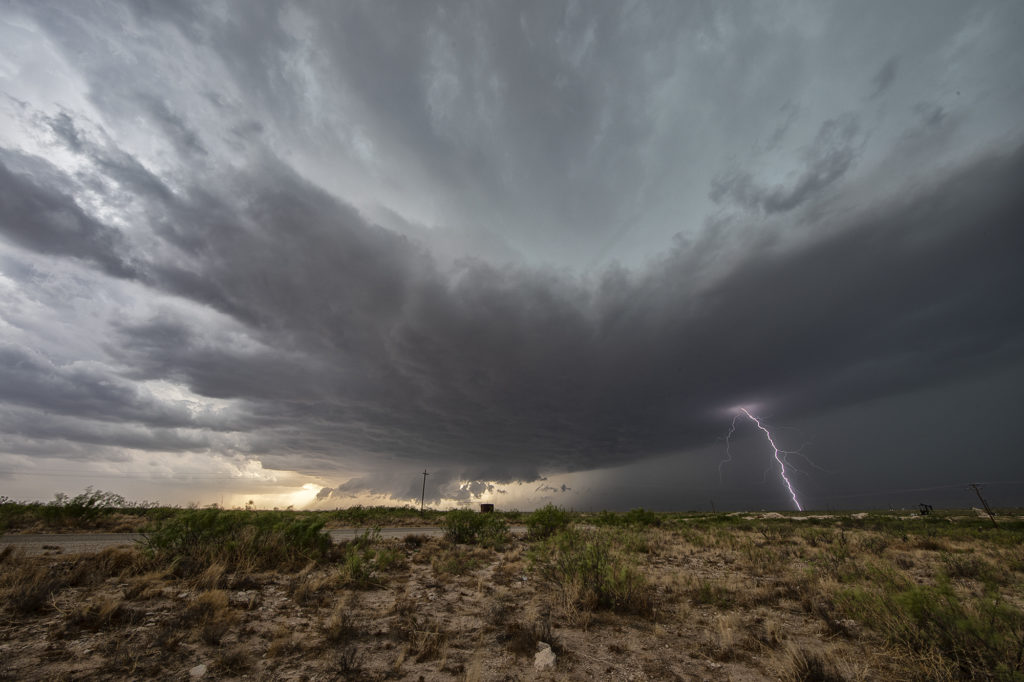
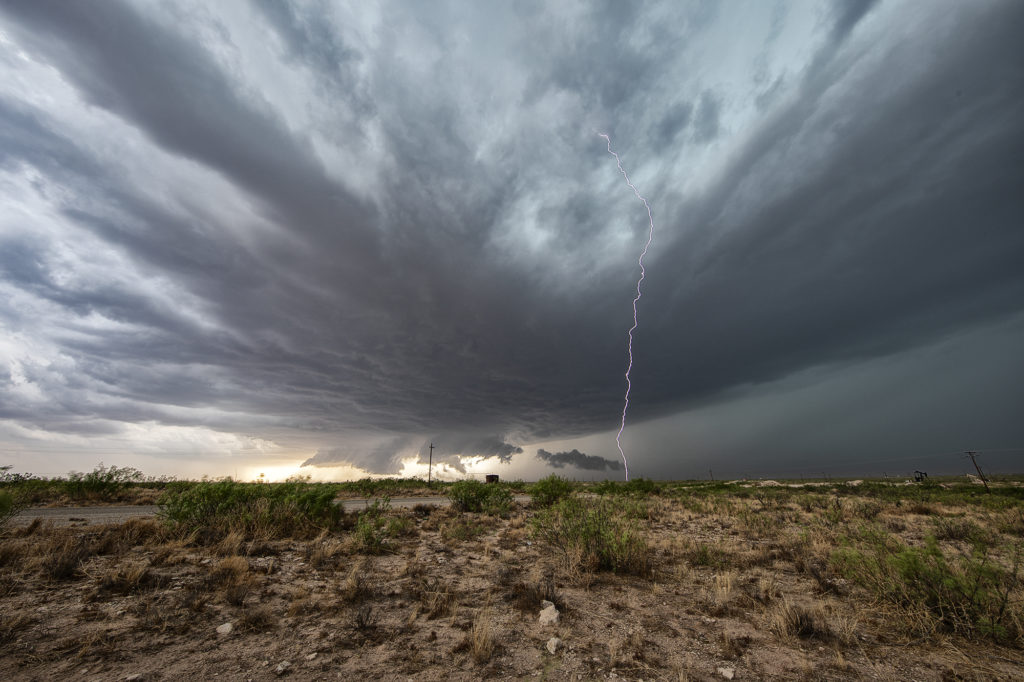
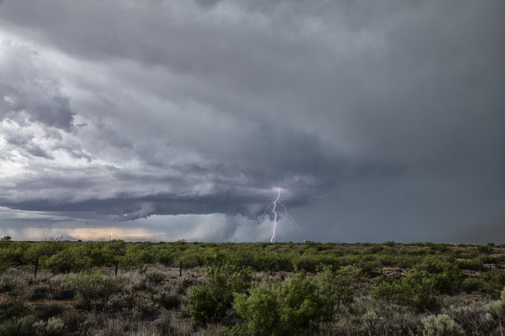
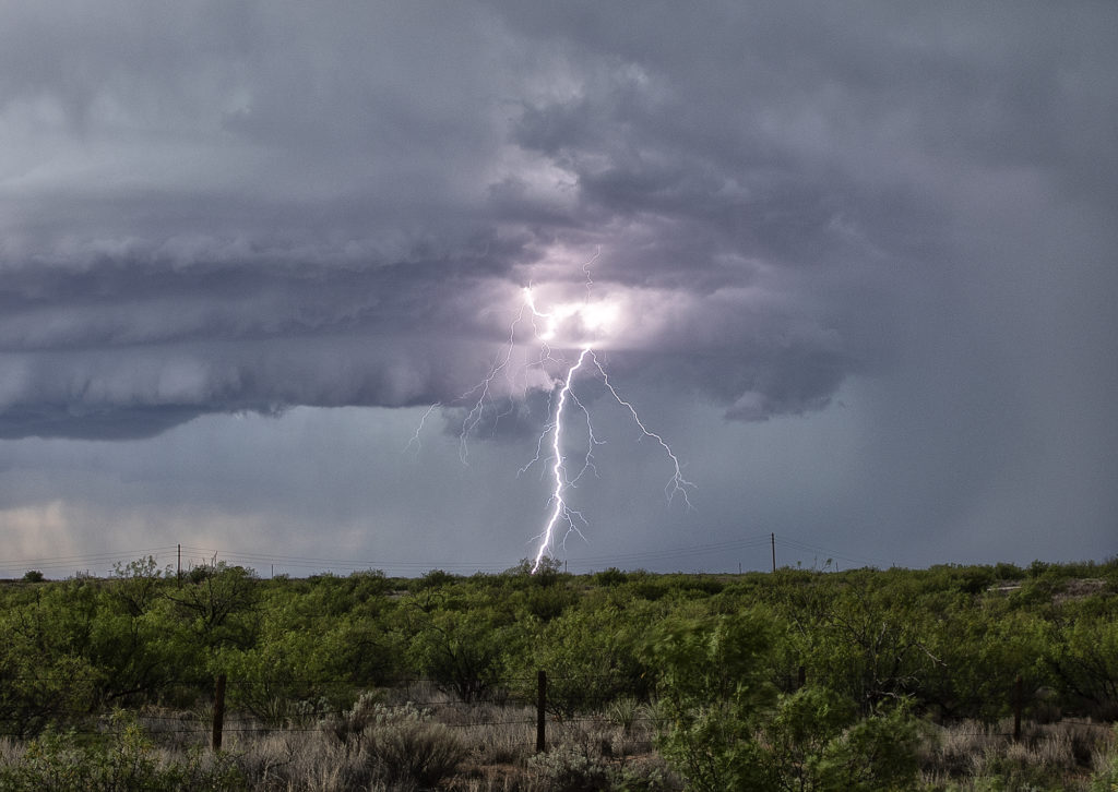
The first day of June took us towards far southeast New Mexico. A couple supercells developed along the dryline west of Jal and drifted eastward, becoming quite prolific hailstorms. The storm’s structure was very nice and it had a wall cloud throughout it’s life cycle. However, low level rotation was lacking. The cell was an amazing lightning machine producing numerous cgs every minute. As it moved southeast, other storms for and soon a cluster of high based severe storms rolled into southwest Texas. We went to our hotel in Midland and watched as the storm approached from the northwest, with tons of blowing dirt, lightning and hail.
June 2nd Jal, New Mexico Supercell
We weren’t expecting a great show this date as the ingredients just weren’t there. Marginal moisture and weak wind shear would limit the longevity and structure to storms this day, but we did manage to capture a couple of pretty supercells. We started the day in Lubbock, Texas so it wasn’t far to get into position. An old outflow boundary would provide to focus for storms. Due to the steep lapse rates and rapid cooling of the hot boundary layer as air rose aloft, storms became hailers and also were nicely electrified! The cells shown below produced hail the size of golfballs and 80 mph outflow winds, which generated a lot of blowing dirt across west Texas. It was getting late in the season to chase this far south, but you go where you need to. Many days of excessive heat dried up the landscapes which fueled the fire so to speak with intense blowing dirt. Fun day regardless! Enjoy the pics below!


