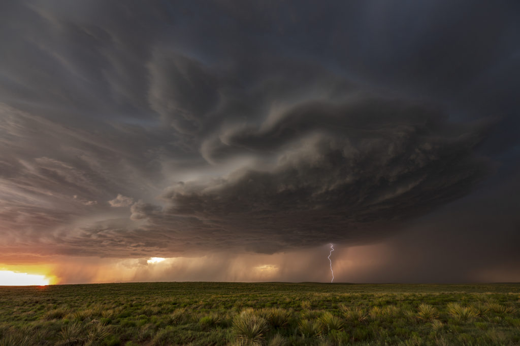
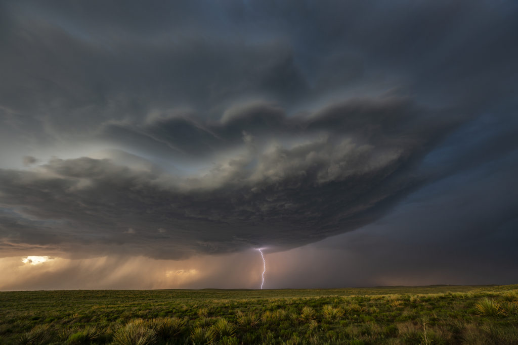
The set up for June 13th wasn’t great. Very limited moisture would result in fairly low CAPE values, however deep layer shear was strong. In the end, a cluster of storms would form over eastern New Mexico and slowly track east and south. The tail end cell became tornado warned for nearly 2 hours and was very strong, also producing hail golfball sized. We started the day near Clayton, and eventually dropped south to get on the tail end supercell. The structure was decent, but the main story of this storm was the lightning and amazing colors! Just before sunset, the storm spun hard and became incredibly electrified. As sun set, the storm weakened and gusted out as it moved southeast of Nara Vista. A fun day and on the photography side of things, it was quite spectacular! Enjoy the photos!


