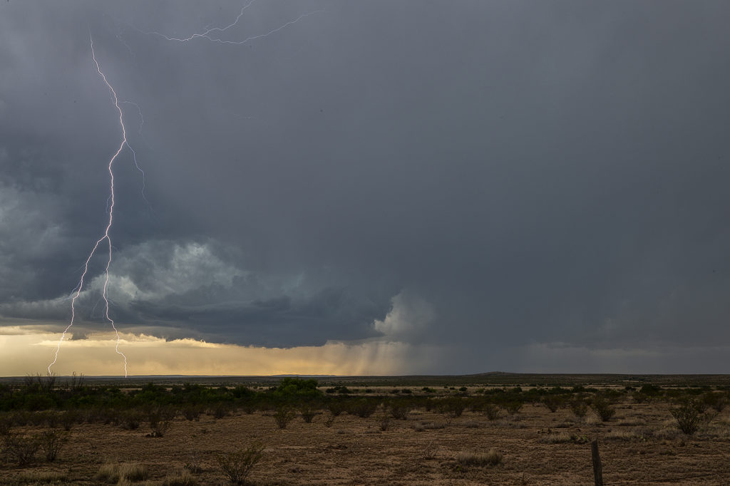
What a surprise day this was! Upslope flow and terrain circulations can do magical things in the high plains and this day would be one of the best! Poor wind shear, marginal moisture, but decent CAPE would provide at least some threat for severe storms. We were in Roswell, New Mexico the night before and decided to stay around for the action on June 4th. We dropped to west of Artesia as one LP supercell formed and produced copious amounts of hail. As it moved off the higher terrain it weakened and died. However, a group of storms formed and slowly intensified as they remained anchored on the foothills west of town.
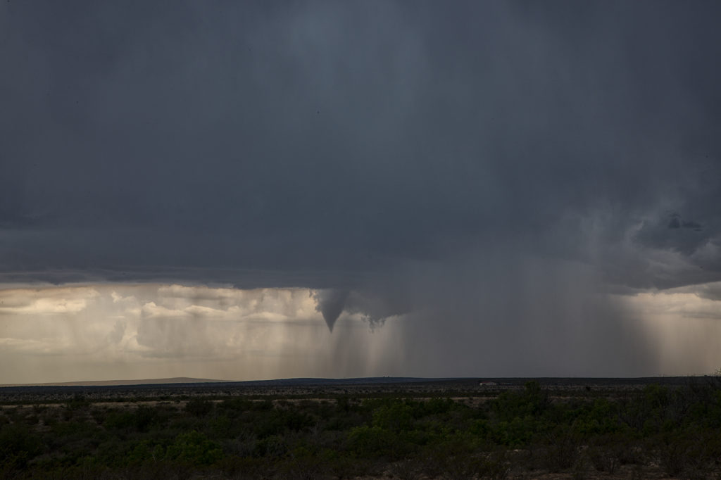
As we positional ourselves on the eastern most storm, something strange happened. The storm started to get well organized and show signs of rotation. Soon a small wall cloud formed. From this wall cloud, a funnel dropped down and planted firmly on the ground for a few minutes. However due to the higher cloud bases and lack of appreciable moisture the funnel never fully condensed to the ground, but a debris cloud rose up from the ground to show it was connected. It persisted for several minutes before weakening and dissipating. We then came back into town and dropped south to Carlsbad to watch the cell drift towards town. It maintained it’s supercell characteristics for a bit before gusting out and dying. A great day and a nice surprise tornado kept our streak of consecutive tours alive with all seeing at least one tornado!


