May 2nd, 2008 Arkansas and Mississippi Tornadic Supercells
May 2nd had big potential. But, when we awoke in Joplin, Missouri, a huge squall line had moved through, taking the instability and moisture with it. I was afraid the squall line would be all that formed that day. Despite great kinematics and good thermodynamics, I figured the day would be spoiled by this raging squall line. I couldn’t have been more wrong. We blasted east and south through southern Missouri and northern Arkansas to my target northwest of Memphis. As we did, it became apparent that this day would go down as a major event. The squall line became cellular with numerous tornado warned, long lived tornadic supercells forming from Little Rock, AR eastward and southeastward through western Tennessee and western Mississippi. We intercept numerous tornado warned superells and filmed 3 tornadoes, one very close near Gilmore, Arkansas. Early evening found us farther into Mississippi than I have chased, while intercepting two significant tornadic supercells, both near New Albany, MS.
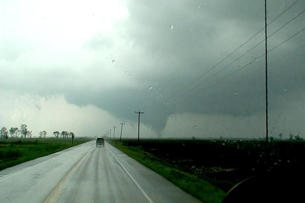
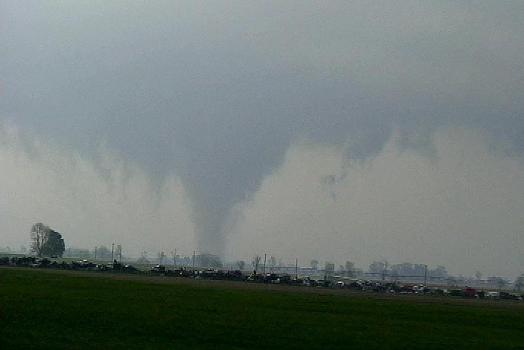
Our first tornado occurred just north of Marked Tree, Arkansas, and was a short lived multivortex tornado. The second tornado was a rather large, strong cone tornado near West Ridge, Arkansas that unfortunately caused considerable damage to many farmsteads. The closest tornado that we caught was near Gilmore, AR as a tornadic supercell approached our location from the southwest. The tornado passed only a few hundred yards from our location. Unfortunately, in the heat of navigating our group, I was not able to get my digital camera out until we intercepted the supercells near New Albany, MS. Thu all the tornado photographs are video stills.
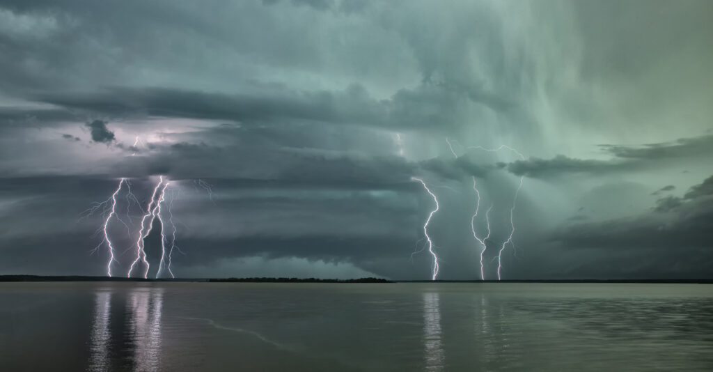
Our final excitement came as we tried to punch the hook of a tornadic supercell just north of New Albany. I stopped us about two miles north of the tornado as radar was showing over 140 kts of shear in the circulation. This could have been disastrous had we continued on the highway. The final supercell had structure like I had never seen before in east of the Mississippi river! As it passed into New Albany, the RFD ripped up trees and downed power lines, as a rain wrapped tornado churned just north of town. Please click on the thumbnail image for a larger image.


