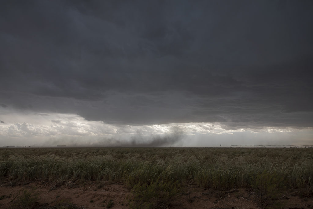
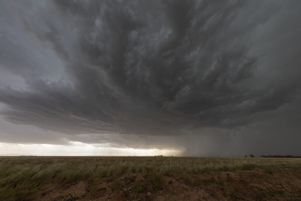
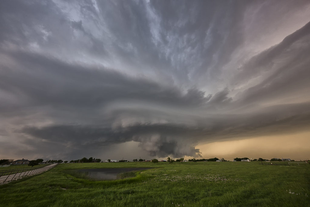
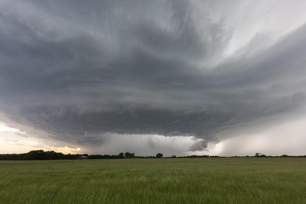
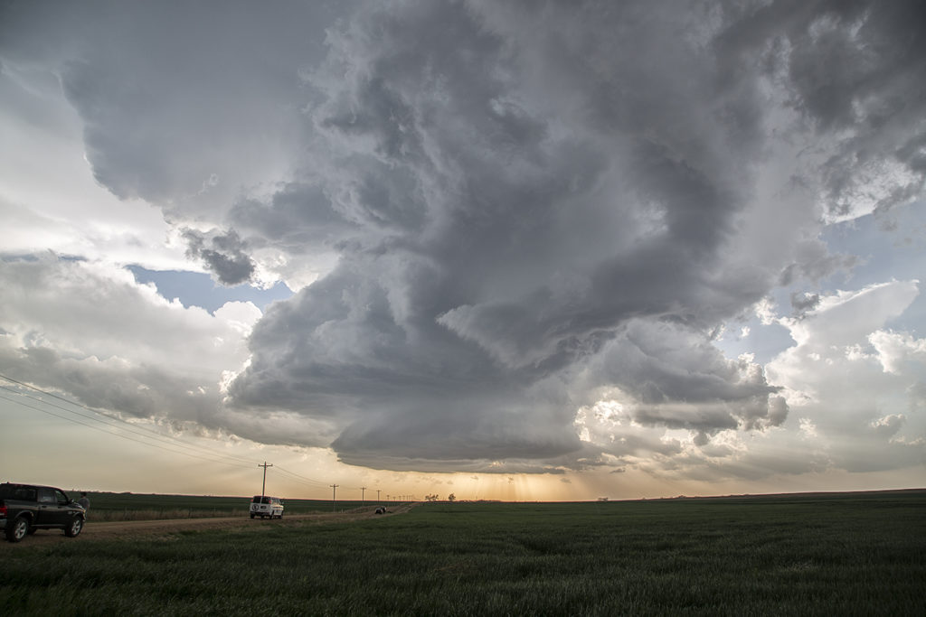
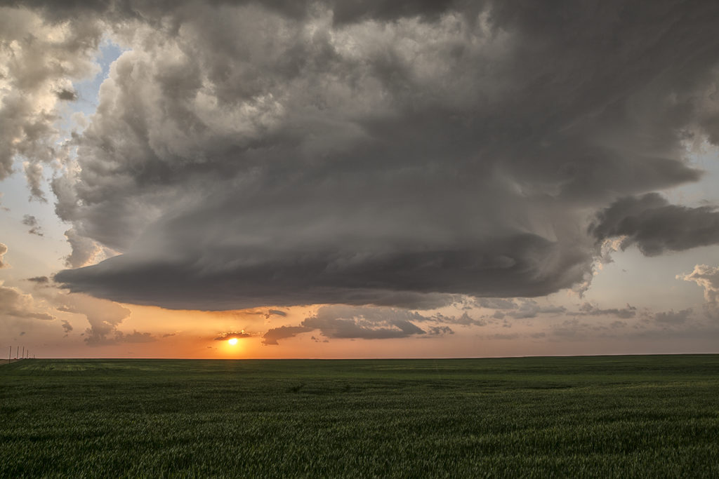
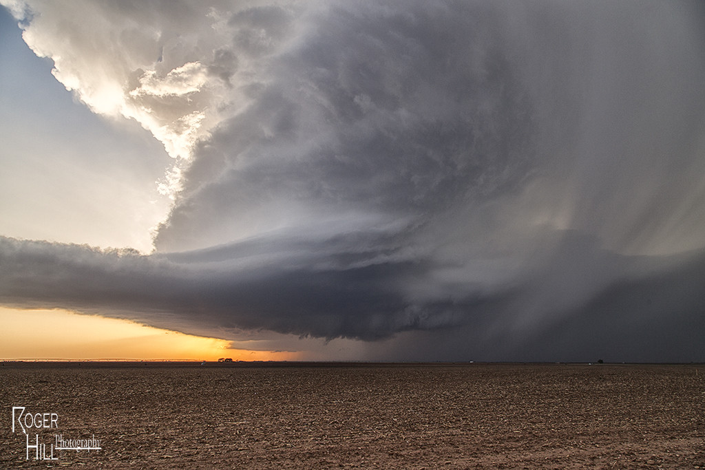
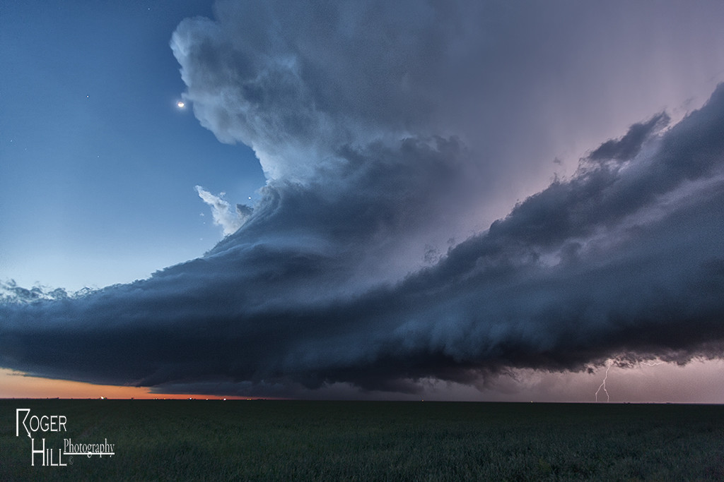
The end of April took us to the Texas panhandle for storms. The season has not even started yet due to persistent continental polar airmass intrusions, pushing surface moisture into the gulf of Mexico. Finally, we have a few days where moisture is returning, albeit slowly! With dew points in the 40s and 50s, storms during this two day period were high based, but marginally severe, producing large hail and high winds. Storms clustered along the dry line occasionally having supercellular appearances, however due to limited moisture, the tornado threat was zero. Enjoy the pics!
April 29th Canton, Texas Violent Tornado
April 29th was the inbetween day from Tour 1 and 2. However, we also ran an on call tour this day. Many guests from Tour 2, and the On Call tour, went to northeast Texas to chase. As things started to become clear, we blasted south towards the Canton, Texas area. Strong southeast surface winds, extreme instability, high dewpoints in the mid 70s and strong shear set the stage for supercell storms to form and intensify as they moved northeast. Several tornadoes formed as storms matured, with one tornado in particular staying on the ground for 50 miles and over 2.5 hours, getting a rating of EF4! Unfortunately this storm caused significant damage and fatalities in Canton, Texas as well as Fruitvale, Texas. Our hearts go out to those who suffered this day and we hope for a speedy recovery.
April 21st Pilot Point, Texas Tornadic Supercell
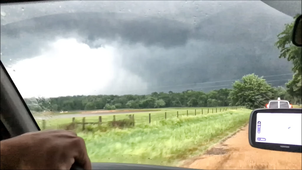
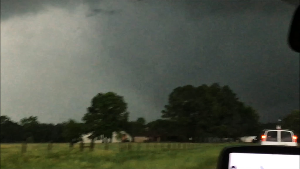
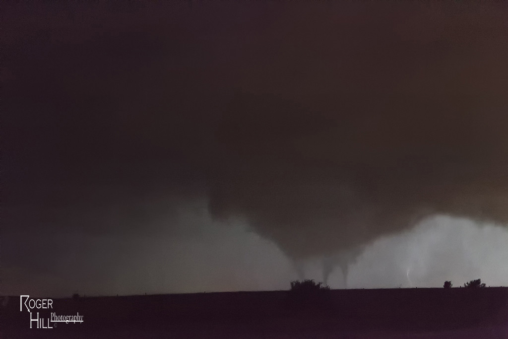
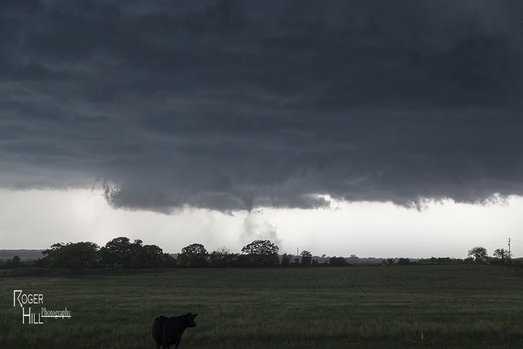
April 21st had high potential. Strong shear, high CAPE and deep moisture would provide the ingredients for intense supercell storms. One storm formed over southeast Oklahoma. We decided to wait it out for later storms to form over northern Texas. A cluster did form with the tail end storm becoming a beautiful HP supercell. It produced a tornado north of Pilot Point, which was mostly rain wrapped. It tried again later in its cycle as you can see from the photos below. Finally, at dusk, another supercell formed and tracked over the region in the dark. Amazingly eery sight watching a storm spin in the dark. Enjoy the pics!
April 15th Protection, Kansas Tornado Warned Supercell
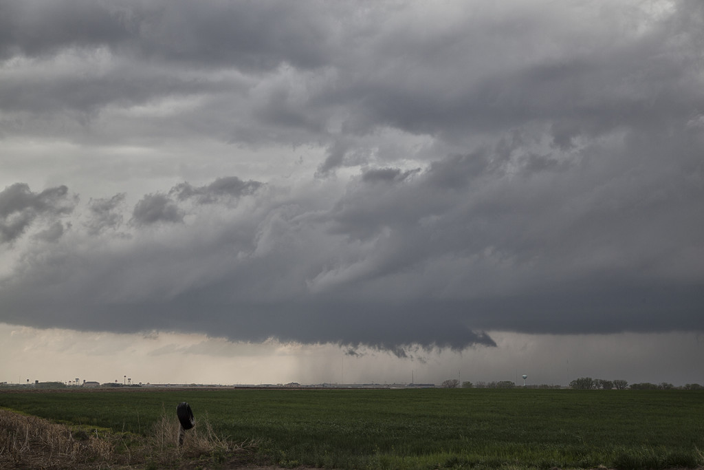
April 15th brought us to southern Kansas for what appeared on paper to be a respectable set up. A strong capping inversion would prevent storms for sustaining themselves until stronger forcing would arrive from the west. Finally by early evening a storm formed and intensified west of Protection. It had decent structure, huge hail and was tornado warned for an hour.
Check out this time lapse from this supercell:
April 26th Central Texas Incredible Supercell and Multiple Tornadoes
Day Five of the Close Encounters Tour produced the best event of this young season so far! A triple point supercell formed southeast of Abilene, Texas, and moved along the warm front producing a couple tornadoes, amazing structure and grapefruit sized hail. A second supercell evolved near Dublin, Texas and became the tornadic beast of the day traveling along the warm front as well, all the way to south of Dallas by midnight. We witnessed several tornadoes from this storm, amazing structure and inflow winds over 60 mph! Crazy, wild night for us!
April 24th Northern Kansas Tornadic Supercell
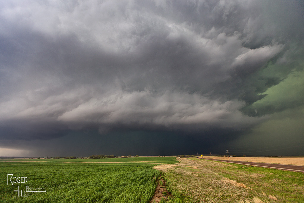
Day Three of Close Encounters had good potential in Texas and Kansas. We chose to chase the triple point near Hays. The first tornado warned storm formed right near Hays and failed to produce. A second storm formed just northeast and became the storm off the day. We witnessed a couple brief tornadoes (although one we couldn’t get a visual on actually was fairly significant!) and watched the superb structure of this supercell as it traversed the warm front of hours!
April 22nd Texas Panhandle Supercells and Tornado
Day One of the Close Encounters tour didn’t disappoint! A triple point southwest of Amarillo would foster the first significant tornado warned supercell of the day. Fairly limited low level moisture resulting in higher cloud bases, diminished the tornado threat. The first storm rolled across the panhandle all afternoon before weakening. Low and behold, another supercell formed southeast of Lubbock near the town of Lockney and had amazing structure and even produced a weak tornado we were able to witness. Fun day, and a great finish to it!


