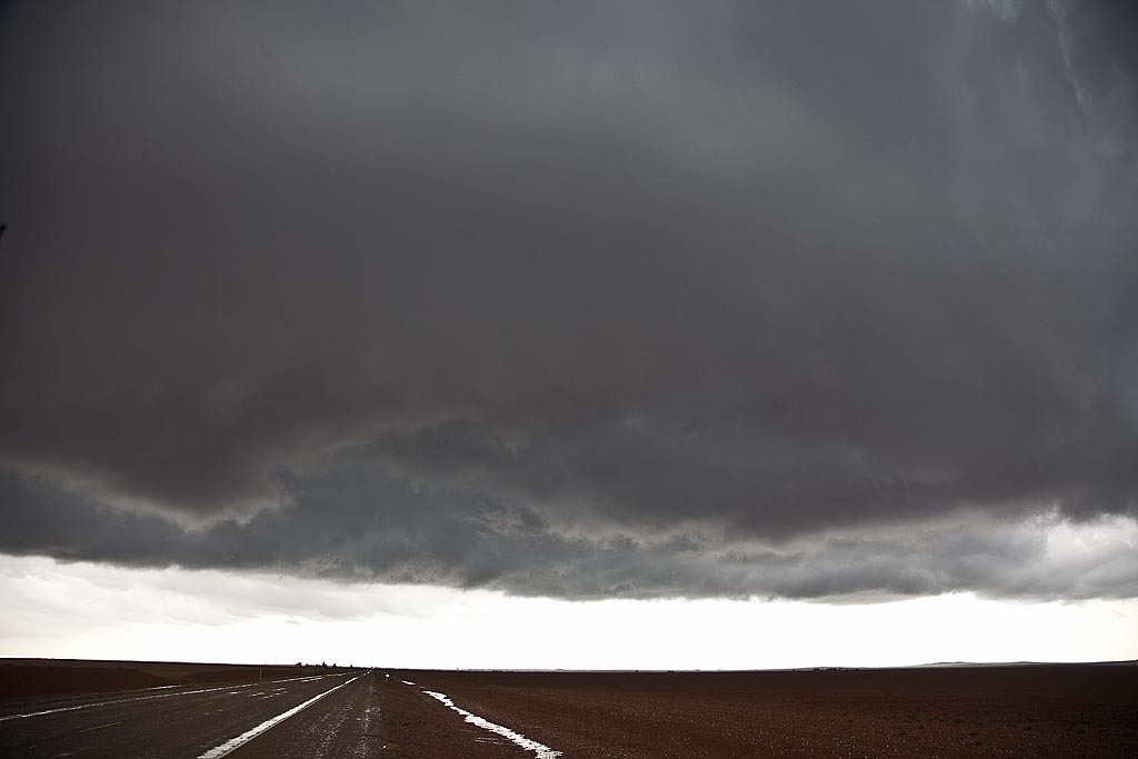
April 29th took me to the Texas panhandle. Several severe storms developed along an old outflow boundary and warm front. Many spun strongly and a couple produced tornadoes. We were able to intercept the Cedar Hill storm and tornadoes from a distance of about 10 miles. We actually were chasing a tornado warned supercell just east of the Cedar Hill storm, when I saw the tornado form to our west. Due to poor road options, and muddy dirt roads, we were forced to stay east and watch from a distance.
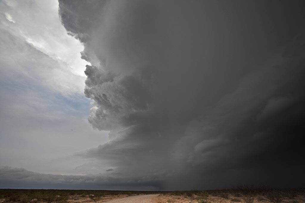
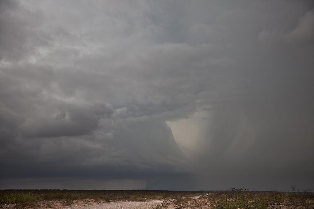
April 28, 2009 Carlsbad, New Mexico Supercell
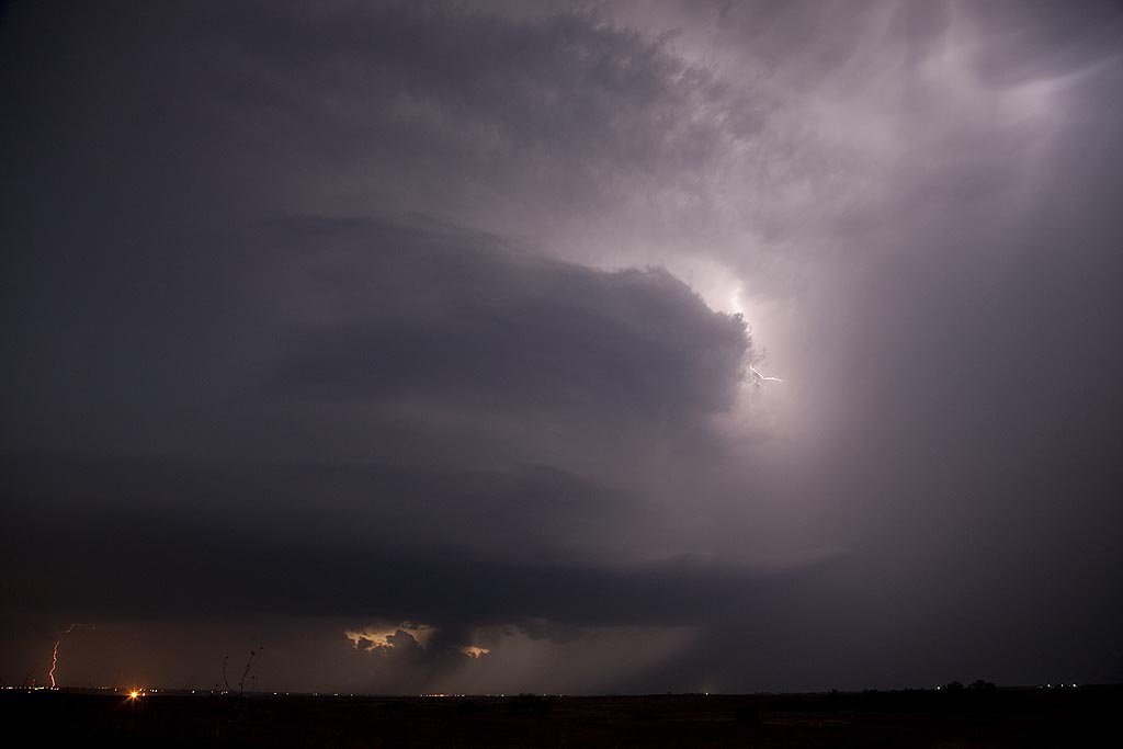
April 28th took me to southwest Texas and southeast New Mexico to chase upslope storms. By late afternoon such a supercell developed near the Guadalupe mountains and tracked eastward along the Texas/New Mexico border towards Jal. The storm had pretty structure and was tornado warned for a long period of time. There may have been a brief tornado but we were too far away due to poor roads to confirm it. The storm produced large hail and tons of lightning.
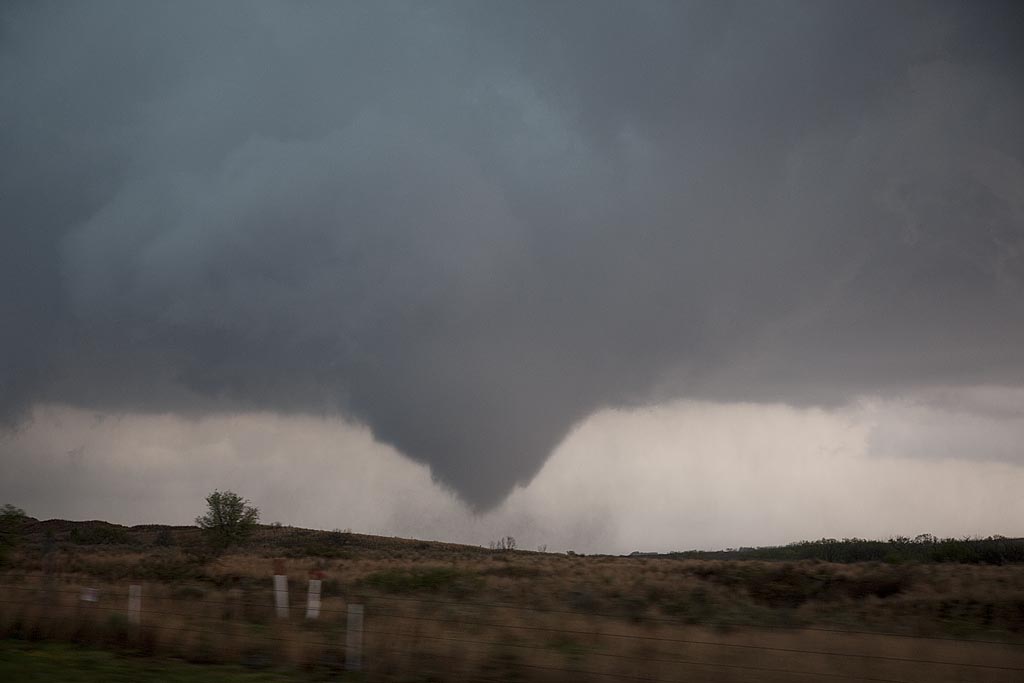
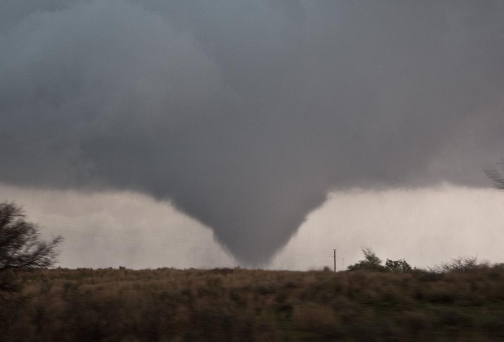
April 26, 2009 Roger Mills County, Oklahoma
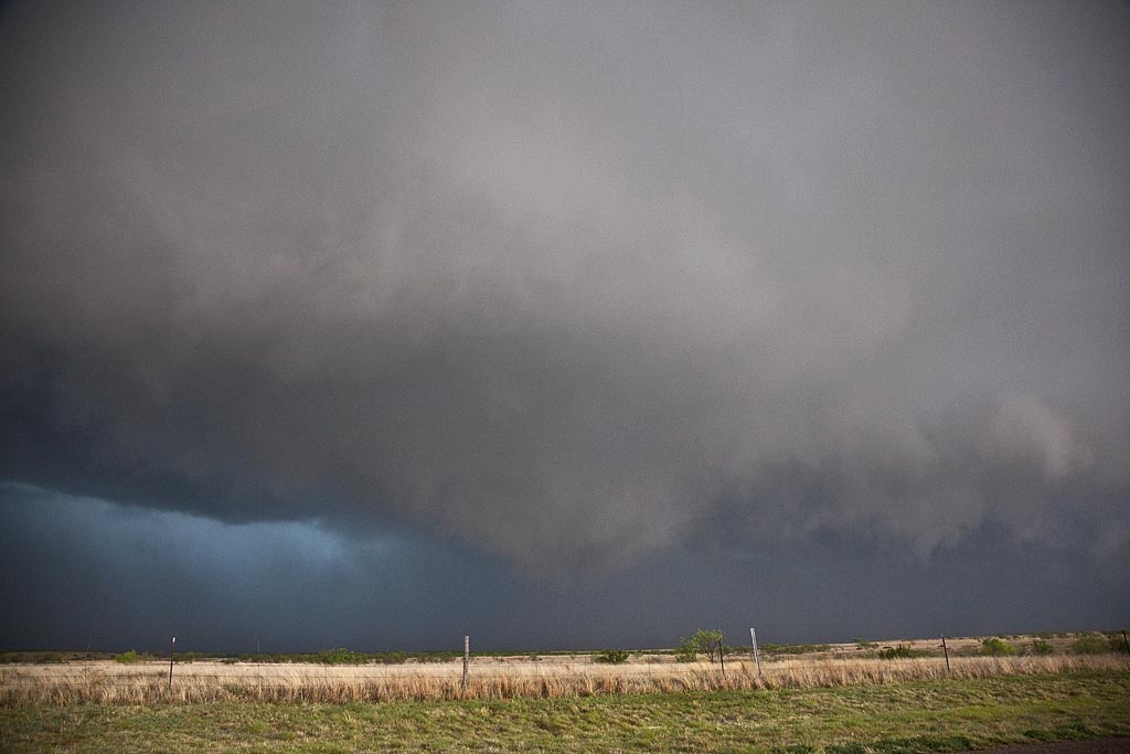
April 26th had outbreak written all over it. SPC upgraded to High Risk and issued several PDS tornado watch boxes. Problems seemed to start with storm mode as things would develop and become a bit stretched out and eventually linear. By late afternoon a nice pinch point developed along I-40 over the far eastern Texas panhandle. Storms fired, spun quickly and became tornado warned. We intercepted 2 tornadoes near the town of Crawford and we came very very close to the second larger tornado. Close enough to smell the tornado and feel your ears pop. Click on the link below for a video (beware of LARGE file size!) and the small photos for larger images.
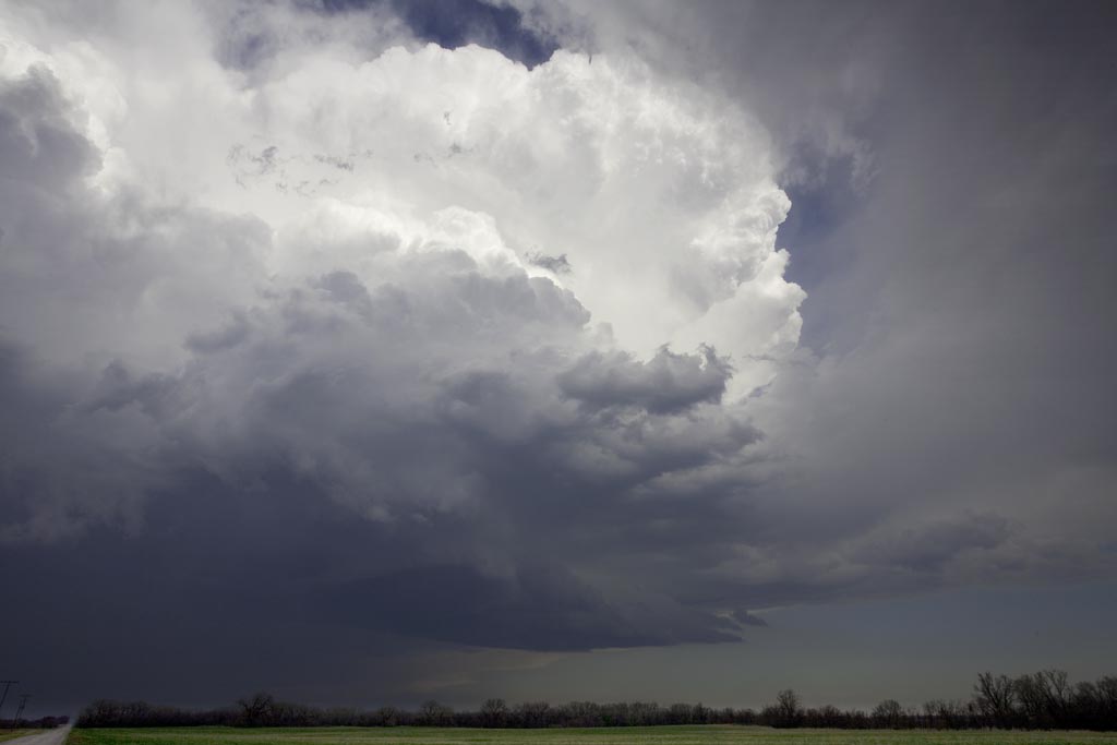
First 25 days of April, 2009
This is a collection of photos from storms I chased during the first 25 days of April. They are at various locations as shown with each photo’s caption.