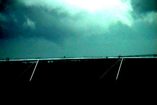
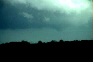
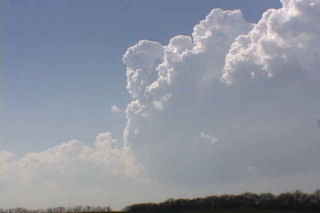
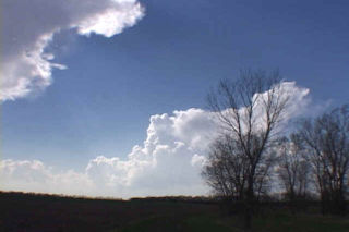
This was an interesting day to chase. The atmosphere over my target area was cloudy and cool, with temps in the low 50s and dewpoints near 50. A moderate risk was issued by SPC, and if skies could just clear enough to destabilize the atmosphere, then there was a good chance of significant tornadoes. I left Denver driving through the rain and snow and arrived near Alma, Nebraska by 1 PM. Skies were clearing as the dry slot had pushed northward. A rope cloud had formed and towers were trying oh so hard to establish themselves with little luck. Finally enough heating had occurred to warm temps into the low 60s with dewpoints near 60. A couple cbs became rooted in the boundary layer and quickly exhibited mini-supercell characteristics. Shortly after 3 PM a rapidly rotating cb developed southwest of Crete, Nebraska. This cell raced northward at 50 mph and produced a tornado that stayed on the ground for 4.5 miles just west of Crete. Unfortunately, I did not get my camcorder up and running and focused in time to catch the mature part of the tornado. Photos are below. A couple of the photos have been enhanced to see the tornado in its latter stages.
April 18th, 2002 McPherson County, KS Monster Supercell & Tornadoes
April 18 was my favorite chase day of the year. A dryline/front intersection (triple point) was the focus for intense convection this day. I arrived north of Wichita in time for the first cb to go up. It died quickly as other towers also tried in vain to break the cap. Finally by late afternoon a storm broke the cap and went on the be the most scenic supercell of the year. It moved slowly across McPherson county, Kansas as it became a gorgeous “upside down wedding cake” with intense cg, hail and a couple of tornadoes.


