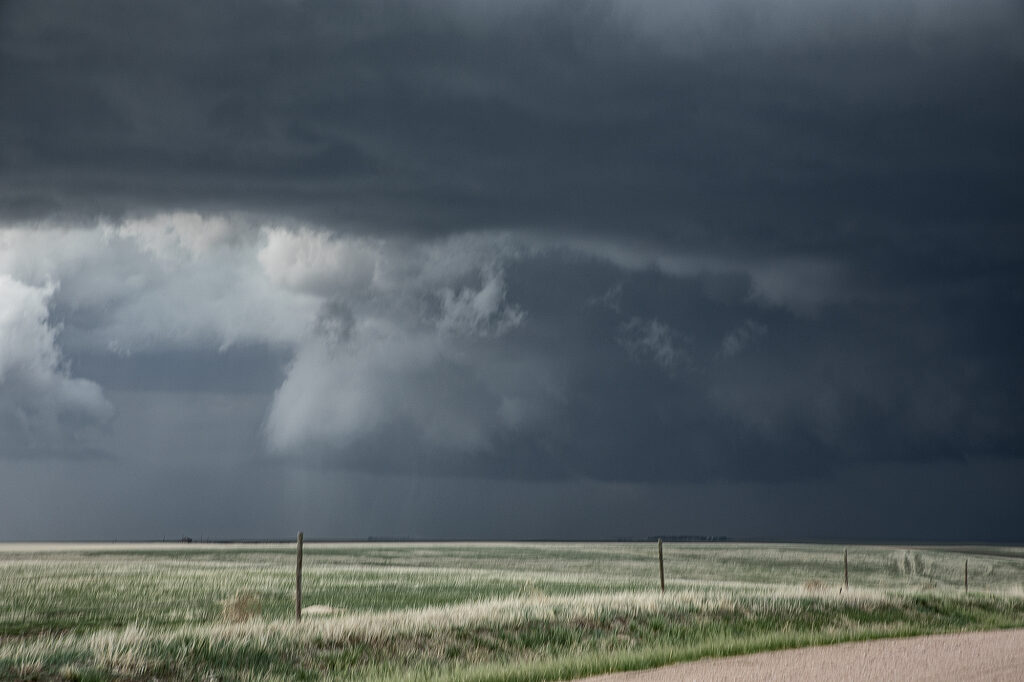
May 21st took us to Colorado. Between upslope into the Palmer Divide, as well as an outflow boundary, most models had storms forming near Limon, before intensifying and moving east. That is pretty much what happened. A supercell formed near Deer Trail and moved east, gaining strength and becoming tornado warned. Good shear, but relatively cool surface temps kept this from being a major event, but the storm still produced softball sized hail, several funnel clouds and one brief tornado south of Anton. As it continued to move east, it encountered cold air with temps in the 50s and became an elevated hailer. Eventually near Burlington it weakened as instability waned and nocturnal cooling set up. A fun time was had by all the guests as the structure was quite nice and the funnels fairly close with the road network being sparse. Enjoy the pics!!

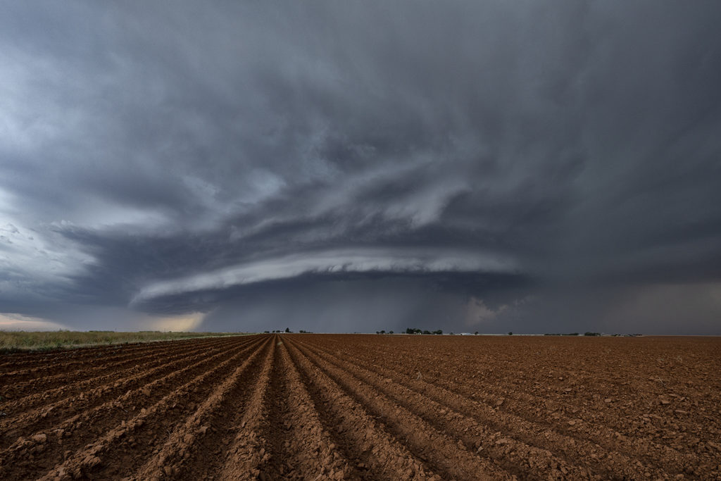
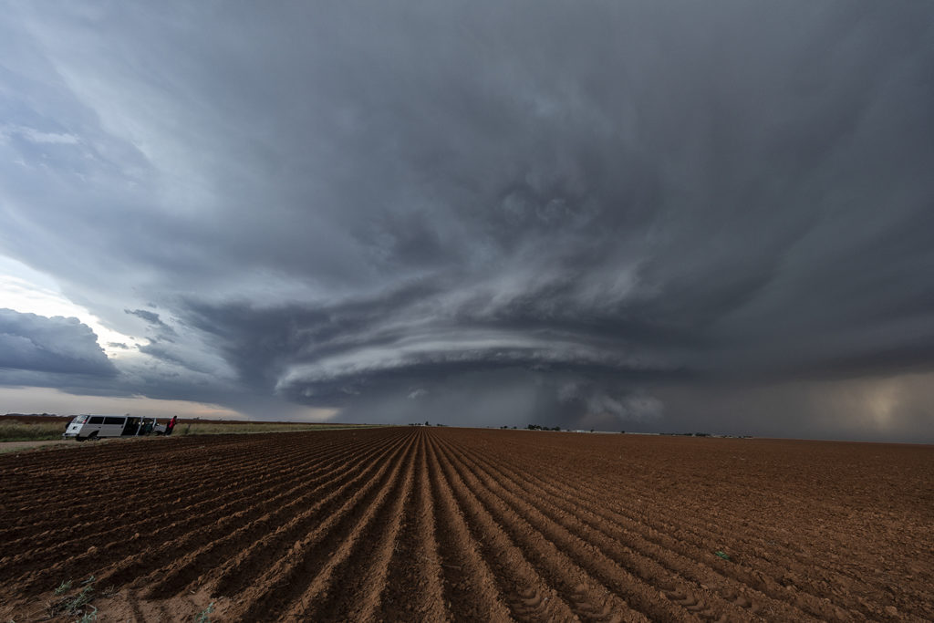
May 11th, Anton, Texas Spectacular Supercell
May 11th brought about a boundary that stretched from northeast New Mexico, southeastward across the Texas panhandle north of Lubbock. Moisture initially wasn’t high quality, although shear and lift were very good. Storms first went up southwest of Lubbock, followed by more storms northwest of Lubbock along the boundary. One storm rode the boundary, and started to get very organized. This supercell eventually merged with another cluster of storms. It later emerged from the line of storms and become a stunning supercell, with very strong rotation on the eastern side of the storm. We watched this entire sequence of developments, amazed at this storm’s ability to push through other weaker cells and emerge as the most intense cell of the day. It also became extremely photogenic as it marched southeast toward the north side of Lubbock. Producing huge hail and very strong winds, it pushed across town and eventually weakened. Enjoy the photos! Please click on an image to see a larger photo.