
April 17th, 2008 North Texas HP Supercells
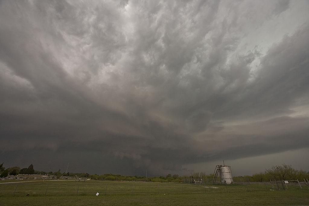
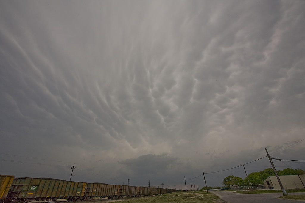
April 17th didn’t hold high promise to me. Storms seemed they would form and become undercut by the advancing front. One such storm did just that, developing west of Throckmorton, TX as the front surged south of it. However, it managed to get decent air and right turn, pulling the frontal boundary into the updraft. This storm had rapid rotation in the notch as scud and a tail cloud formed, streaming in from the east, as the rear flank core surged around the updraft. There “could” have been something buried in the rain and baseball sized hail, but we weren’t punching the core to find out. The second storm had tornado warnings west of Fort Worth, TX, and by the time we got to it, it also became quite HP, eventually lining out as numerous storms formed, merging into a line.
No comments yet.