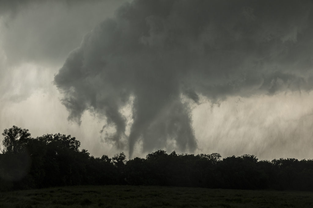
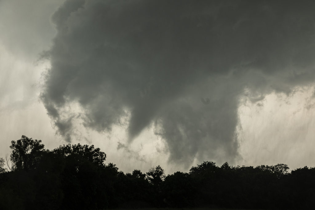
May 22nd featured incredible surface moisture and very high CAPE values as well. I was a bit concerned with upper level winds, but down low it appeared sufficient for tornadic supercells, especially with vertical stretching due to strong instability. We started the day heading towards northeast Oklahoma in the Tulsa vicinity. By mid afternoon storms exploded near I-40 well southwest of the city, so we headed that way. We arrived west of Okmulgee as a tornadic supercell approached. It produced a nice multivortex tornado about 1 mile to our west, followed by a cone just north of us. As the storm moved northeast it weakened as a second tornadic supercell approached town. This storm would produce at least 2 more tornadoes that we could confirm and possibly a 3rd brief tornado northeast of the city. Structure was nice and for last May storm motion wasn’t extremely fast. All in all a fun day. Later in the evening a couple intense tornadoes occurred in Missouri that fortunately did not cause any loss of life. Enjoy the pics below!


