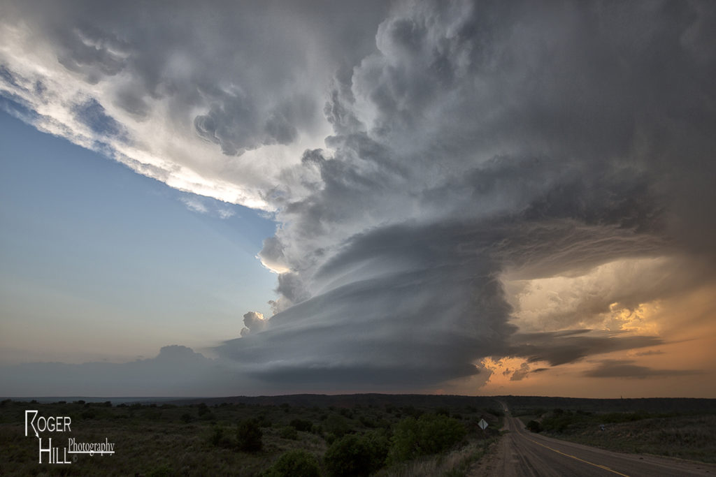
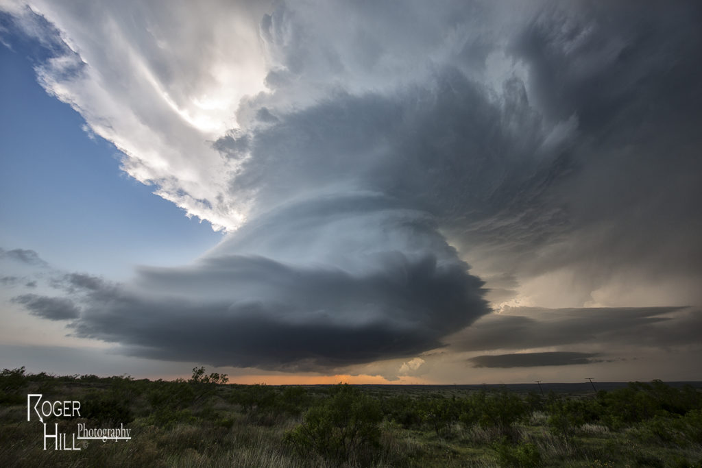
May 23rd was a big day of ups and downs. Nature seemed to play a cruel joke on us and give us all the potential ingredients for a major severe weather event, but put all those ingredients too far east of the dryline in the Texas panhandle to do much good. Storms formed and were high based, never a tornadic threat, along the dryline. These cells would move off and die due to a capping inversion. Finally late afternoon one storm formed at the tail end of a cluster and moved far enough east to intercept 70 degree dewpoints and 4000 CAPE values. This storm would go crazy near dark and produce at least 2 significant tornadoes. The first tornado, a tapered cone, churned across the countryside west of Northfield, while the second tornado, a large EF3 multivortex turned wedge tornado, would be very close to Northfield. Lightning would illuminate this tornado and at one point, 4 bolts were visible around the tornado. An AMAZING event to say the least! Fortunately there were no fatalities from these tornadoes. Night time tornadoes are especially dangerous as you cannot see them unless they are lit by lightning or hit power lines to cause them to glow green. An incredible event to what would be the warm up day for the next day, the largest tornado outbreak in a couple years in western Kansas!


