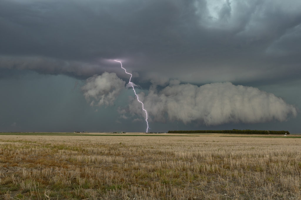
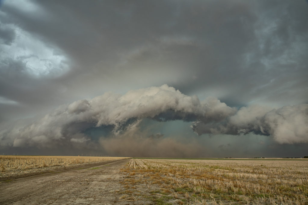
Day 1 of Tour 2 took us north from Oklahoma City to western Kansas. Shear was good this day, however moisture was lacking. This resulted in higher based severe thunderstorms with hail and high winds. Some of the areas of northwest Kansas near the Smoky Hill River bottoms are full of badlands type formations and make for a great photo! Lots of lightning also occurred with these storms as the built southward along an advancing cold front. Fun first day for Tour 2!! Enjoy the pics!
June 2nd Southern Minnesota Tornadic Supercell
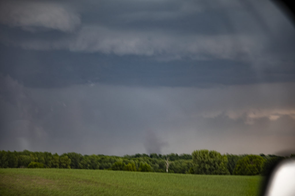
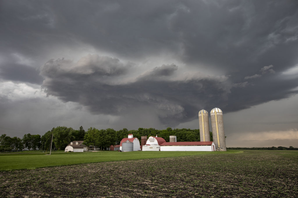
June 2nd appeared to have some promise for severe storms in southern Minnesota. Very hot and relatively moist air would reside along and south of a stationary front south of the Twin Cities. Large temperature/dewpoint spreads would result in higher based storms. High CAPE and moderate shear also existed. A cluster of cell formed along the boundary, and eventually the eastern most cell would mature into an intense hail/tornado making supercell. I was completely surprised to see a multiple tornado warnings for the storm despite the higher base! It produced a couple of weak tornadoes and very large hail 3 inches in diameter. It persisted for several hours before gusting out, with an eventual line of severe storms forming and moving southeast through southern Minnesota. This area is very photogenic and has many stunningly photographic farmsteads! Check out the photos and please click on an image for a larger pic. Enjoy!