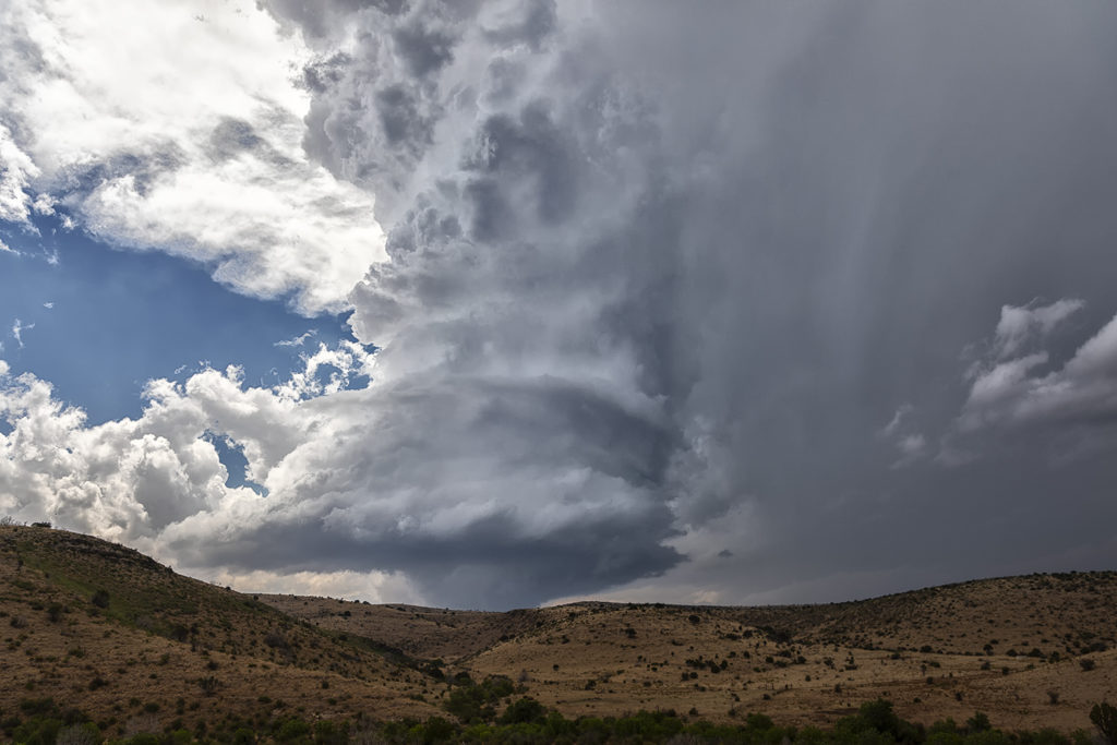
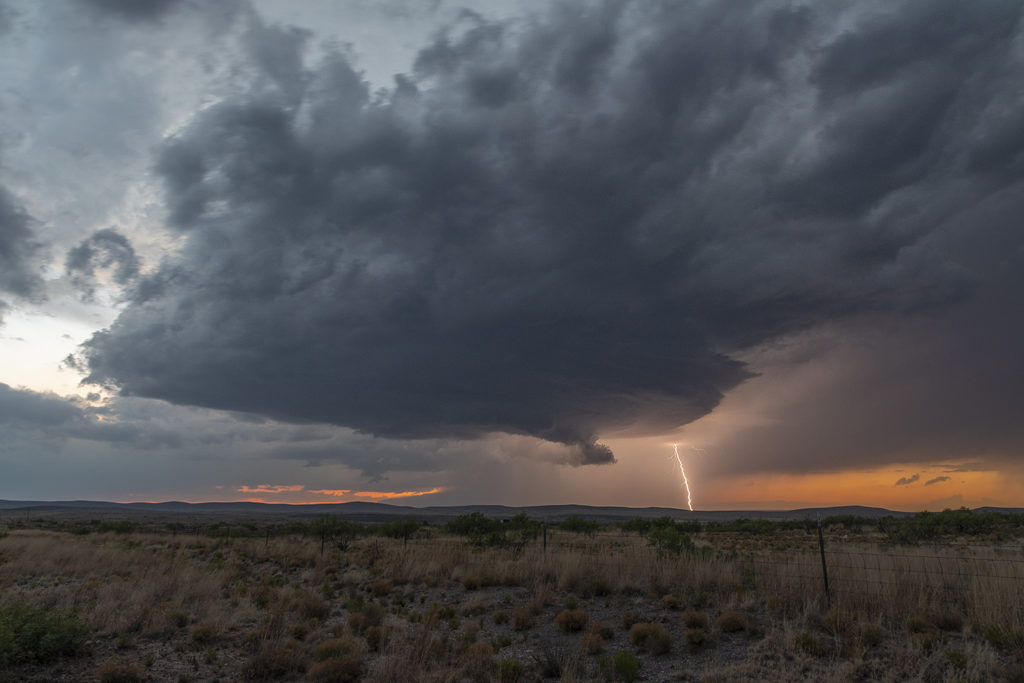
May 22nd took us to New Mexico for what appeared to be a decent set up for severe storms, but not much tornado threat. Good mid level shear, decent surface moisture and instability would set the stage for storm formation off the mountains west of Roswell. By mid afternoon several supercells formed and kept forming over the same region as they moved east off the mountains. We intercepted a few storms that had good structure, big hail and a lot of lightning. Storms persisted through the evening hours as they approached town with hail, high winds and plenty of electrical activity. All in all a good day for Tour 4 and Photo Tour #1 as plenty of opportunities for photography/videography were available!


