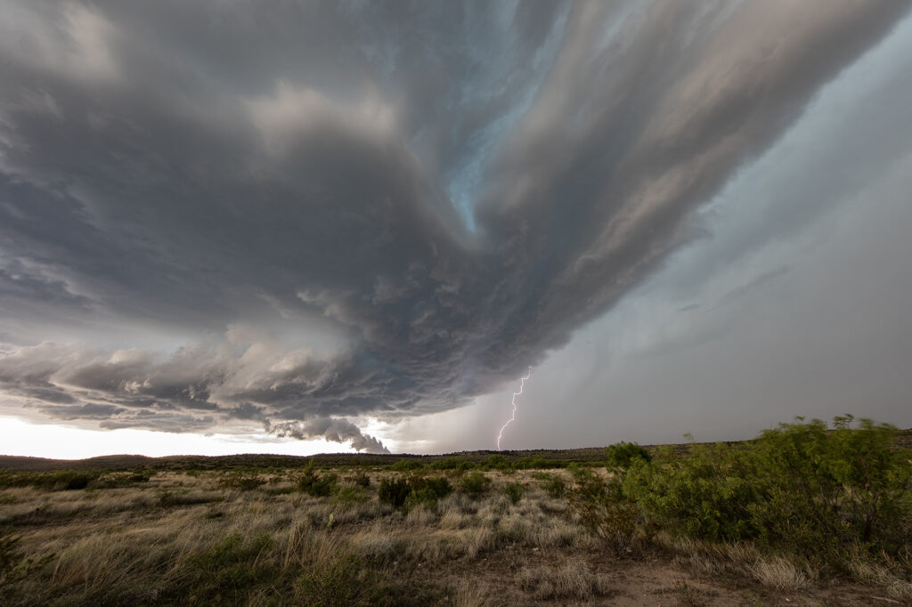
With a poor weather pattern forecast, we went to where the best combination of shear, moisture and instability were forecast, near the Davis Mountains of southwest Texas. Storms formed mid afternoon and intensified, with a supercell forming near Marathon, Texas and drifting southeast. It had good structure and was producing numerous cg strikes. As it moved towards Mexico, more storms formed west of town and also produced a lot of lightning. We encountered golfball sized hail and plenty of wind with the initial supercell!
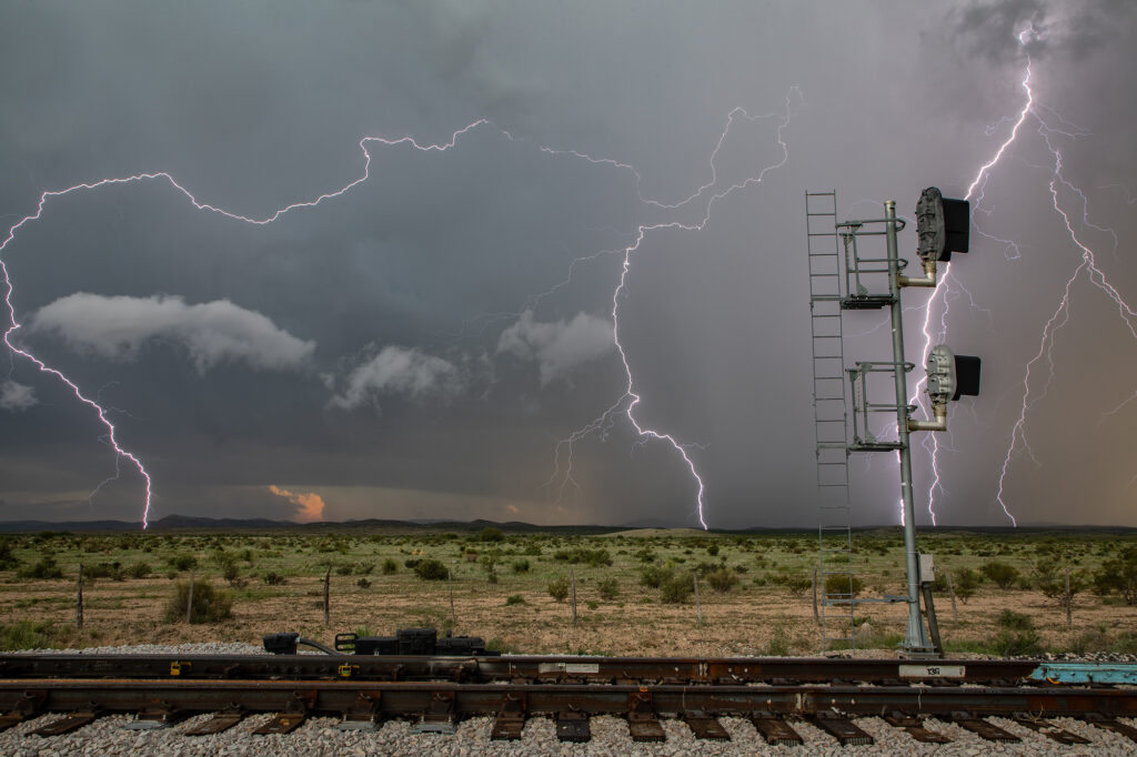
May 7th Valentine, Nebraska Electrical Storms
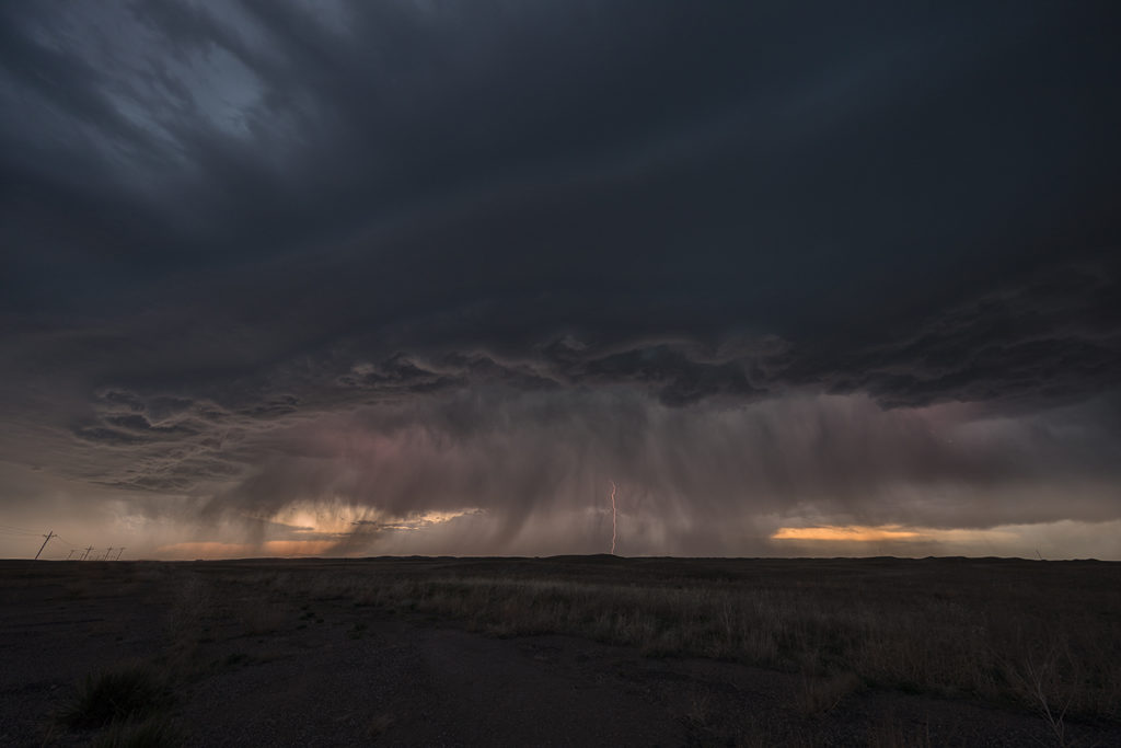
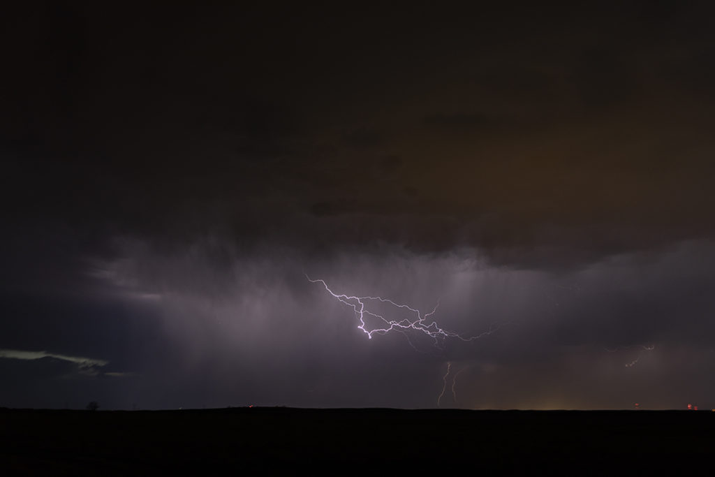
May 7th really didn’t have much going for it. It was the first day of Tour 3 and we wanted something to chase. We left Oklahoma City early bound for Valentine, Nebraska, some 650 miles away. Decent shear, but very limited moisture and instability would result in high based storms to form. What we didn’t expect was the amount of lightning that was occurring with these storms. Right around sunset they became quite electrified producing numerous cloud to ground lightning strikes. We pulled east of town as they became severe warned and watched the show. Very pretty and long lasting lightning display rolled on for hours.
Enjoy the photos!
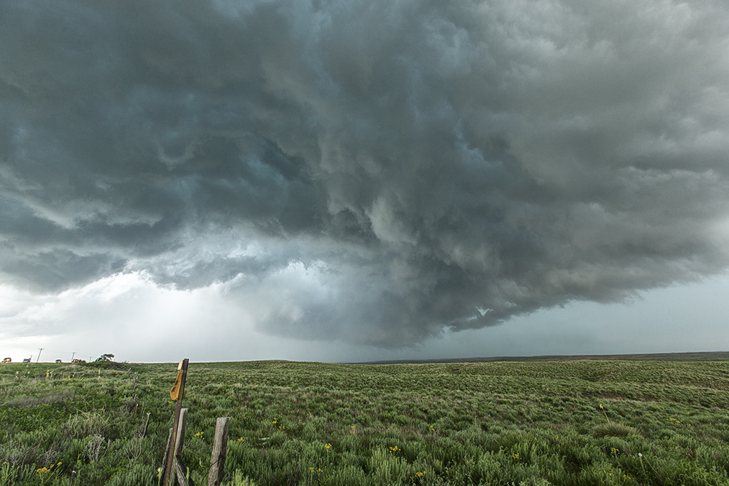
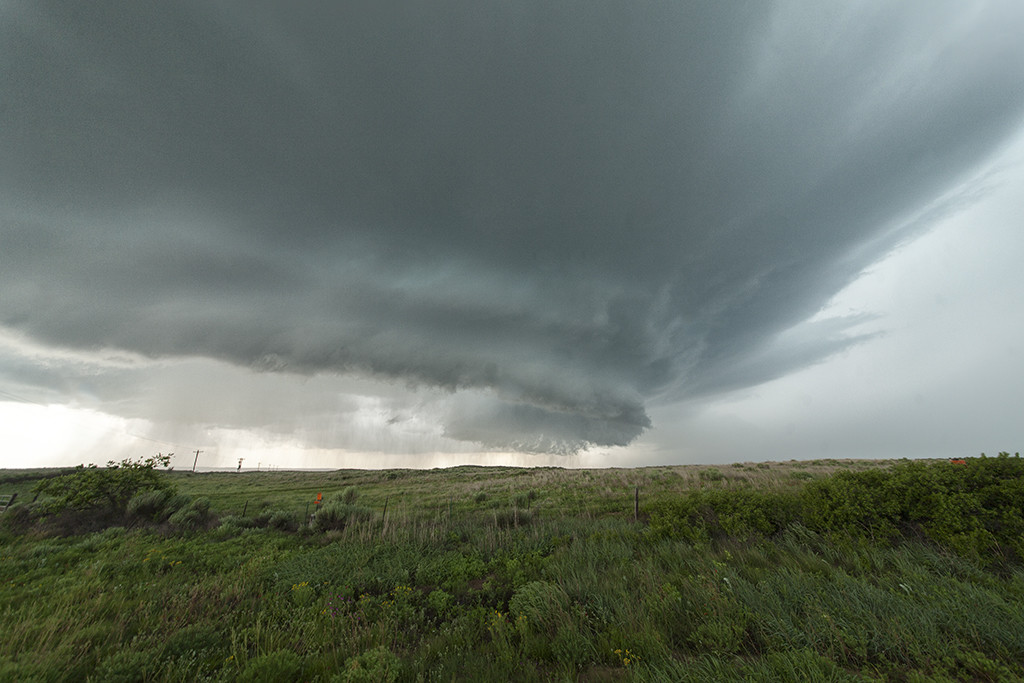
May 27th Canadian, Texas Tornado Outbreak
May 26th had incredible potential. An old outflow boundary over the northern Texas panhandle, along with a dryline extending through the Texas panhandle intersected the outflow boundary just northwest of Canadian. High CAPE, strong shear and deep moisture would all combine to produce a violent supercell that anchored itself near the town of Canadian. By mid afternoon the storm exploded and produce several tornadoes, including a couple that were strong. Two tornadoes came very close to hitting Canadian, but fortunately dissipated before entering town. One of the best events of this young 2015 chase season and one that will live in the memories of all tour guests for sure!