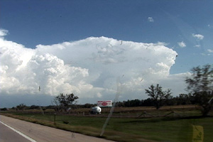
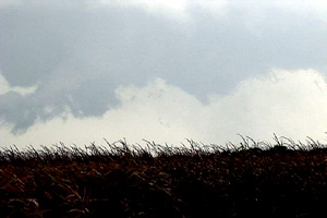
September 15th was in my opinion a classic “day before the big day” scenario over south central Nebraska. Adequate shear and lift were available, but quality low level moisture return was the main problem. By later afternoon storms exploded near Holdridge. Several supercells would form and move quickly northeast at 40 MPH. One storm developed near Hastings and tracked northeast producing a 4 minute long tornado about 5 miles south of I-80. This storm also produced hail golfball to tennisball sized.


