Tag Archives | roswell

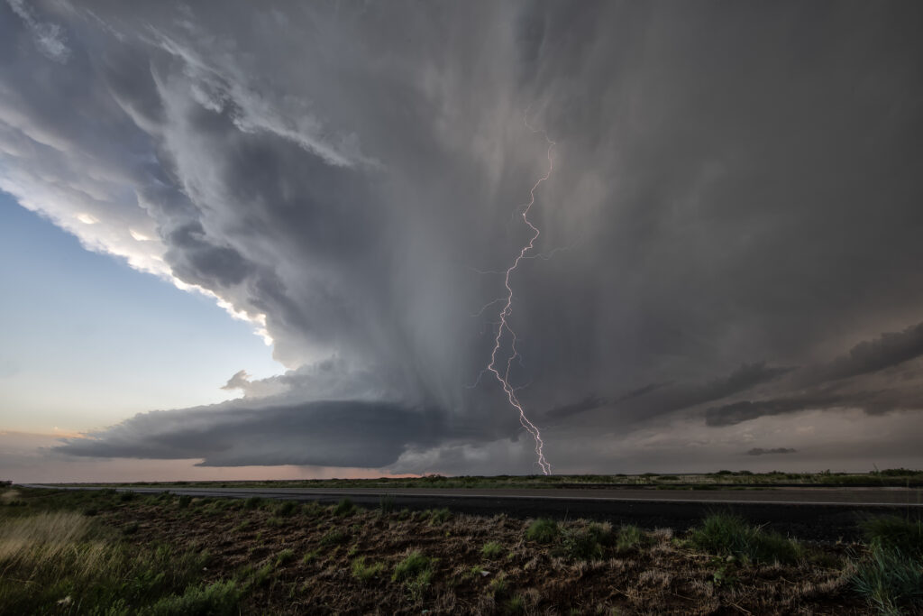
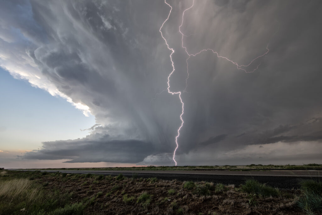
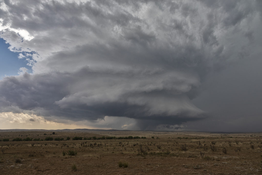
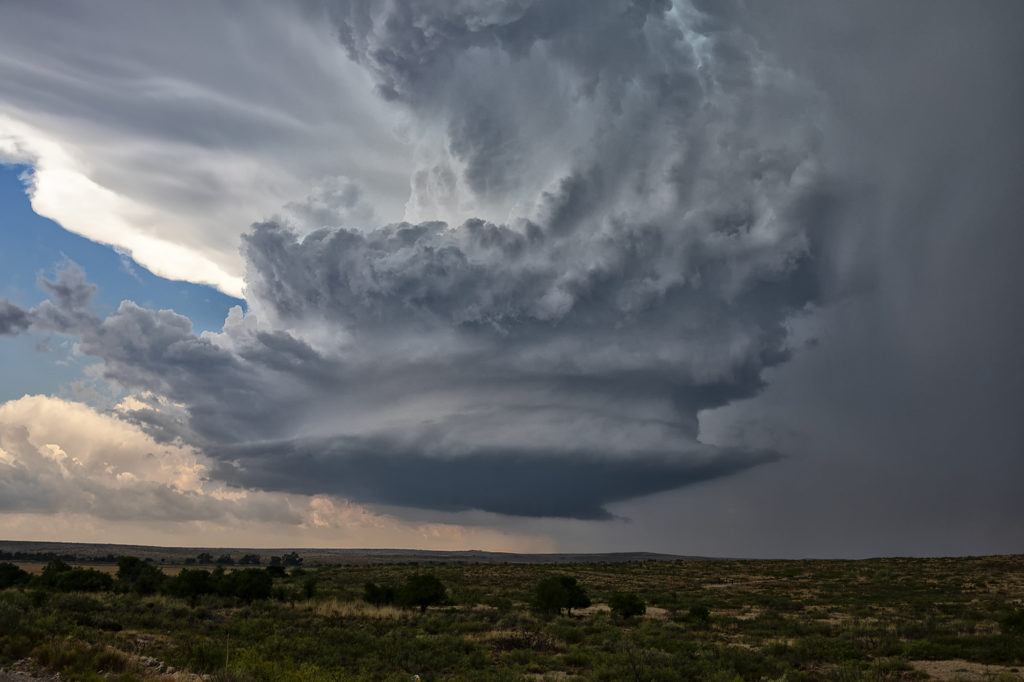
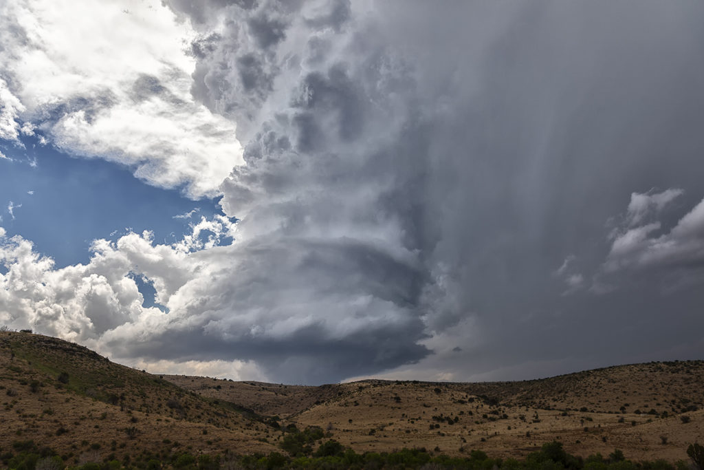
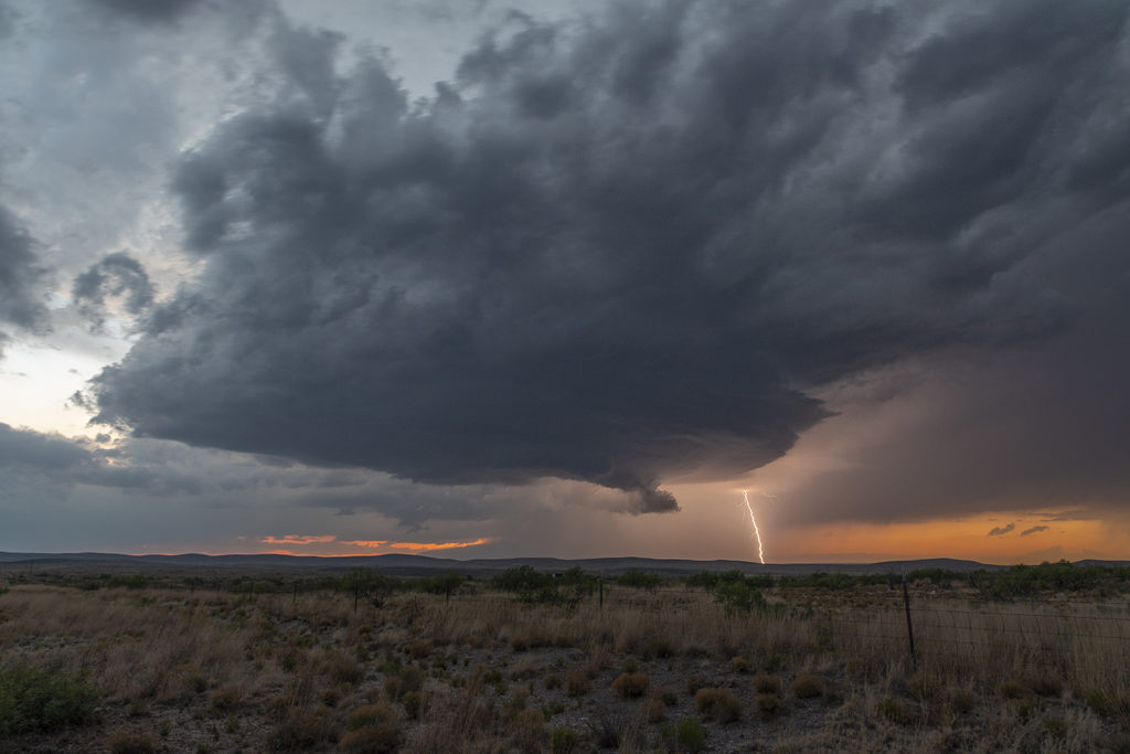
May 31st Roswell, New Mexico Incredible Supercell

May 31st had potential in the western Texas panhandle and southeastern New Mexico. Storms exploded in New Mexico, and a couple became tornado warned. Those clustered and moved into west Texas. A few hours later, more storms formed near Roswell. With good upslope flow, decent moisture and instability, they quickly became severe. One storm, on the southern end of a cluster, became a supercell. The structure was amazing and the electrification was phenomenal! We stayed with it till dark when it weakened and the lightning ceased. One of the prettiest LP supercells of the season to date! Enjoy the pics!


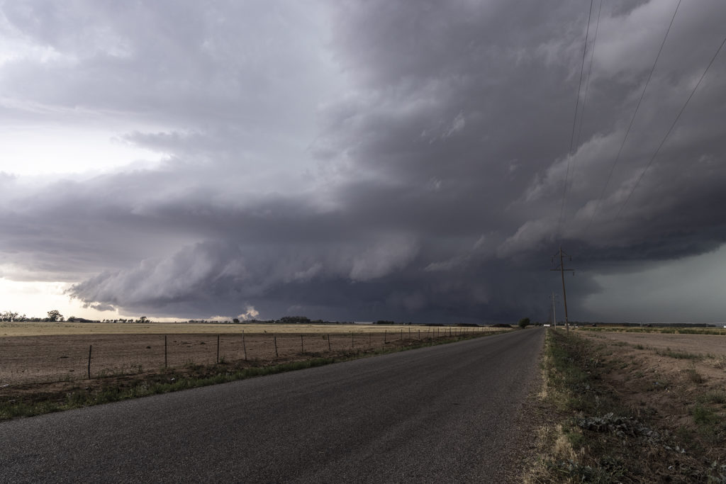
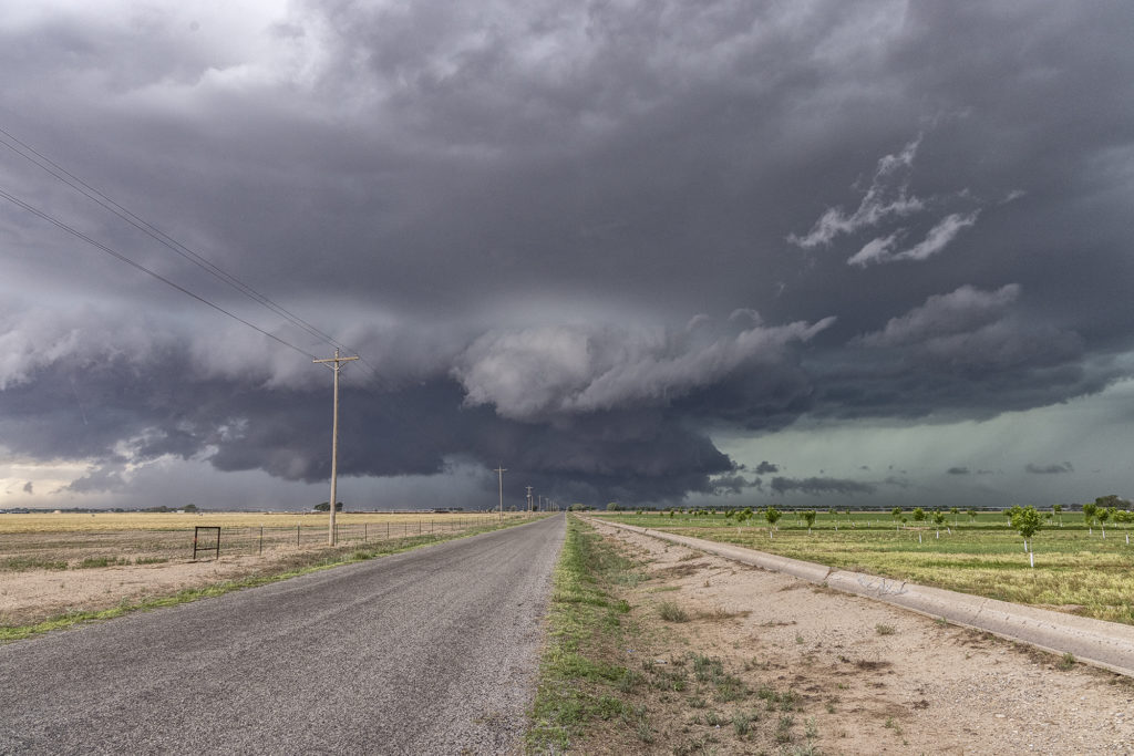
May 30th Roswell, New Mexico Tornadic Supercell

May 30th was the first day of Tour 5 leaving from Denver. It was a long drive to our target of Roswell, NM, but we made it just in time. A tornadic supercell formed west of town and tracked east/southeast. A couple of tornado reports were made and I can’t argue with them. A few spin ups under the updraft occurred as rotation was strong above them. Good CAPE, moisture, and a boundary set the stage for this supercell to form. Nice structure and huge hail also fell from this cell. As it moved east later in the day, it weakened and another supercell formed on it’s outflow. This storm was jaw dropping gorgeous and rolled eastward towards the Texas border in the evening hours. A fantastic day after an extremely long drive, but well worth it! Enjoy the pics!

May 23rd Roswell, New Mexico Large Tornado

It’s not often you wake up in Roswell, New Mexico with screaming southeast winds and 67 dewpoints.  Low stratus clouds were racing west towards the Sacramento mountains! Even though mid and upper level winds were not particularly strong this day, there was sufficient speed and directional shear to get a supercell to form. We weren’t expecting tornadoes, but with high dewpoints and strong instability we knew the potential existed. Funny thing was most chasers were racing north to play a system in the central plains, but we couldn’t pull ourselves away from Roswell.  In the end, we’re certainly glad we did! There wasn’t another chaser that witnessed what we did this day, with a quarter mile wide strong tornado under an amazing sculpted updraft! This cell produced huge hail as well and rolled across the countryside for hours all the way to Roswell. One of the most rewarding surprise days of 2018 for the tours!!!  Enjoy the pics!! Please don’t forget to check us out on Facebook as well as Twitter and Instagram!

May 22nd Roswell, New Mexico Supercellfest

May 22nd took us to New Mexico for what appeared to be a decent set up for severe storms, but not much tornado threat. Good mid level shear, decent surface moisture and instability would set the stage for storm formation off the mountains west of Roswell. By mid afternoon several supercells formed and kept forming over the same region as they moved east off the mountains. We intercepted a few storms that had good structure, big hail and a lot of lightning.  Storms persisted through the evening hours as they approached town with hail, high winds and plenty of electrical activity.  All in all a good day for Tour 4 and Photo Tour #1 as plenty of opportunities for photography/videography were available!