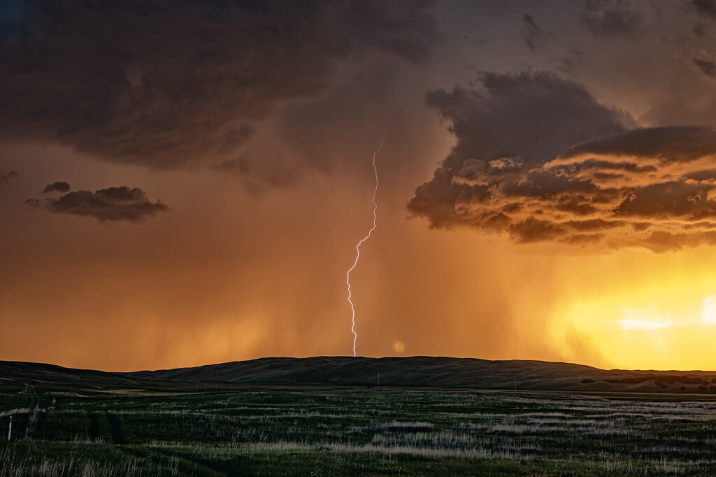
I wasn’t expecting much on July 1st and what we got was a lot better than I was hoping! A north/south dryline was over western Nebraska, however limited moisture and instability were present which would limit the severity of storms. We encountered a nearly stationary high based supercell near Lakeview that had decent structure, nice lightning and hail the size of golfballs. We eventually got cut off from the storm due to poor road options, so we moved east and south of Hyannis to watch a new cluster of severe storms at sunset. What a show they put on! It’s been a few years since we’ve encountered such an amazing display of color at sunset. Intense lightning, sun setting through the core and luscious green rolling hills made this a winner to me!! Please enjoy the pics, some beauties!
May 11th, Anton, Texas Spectacular Supercell
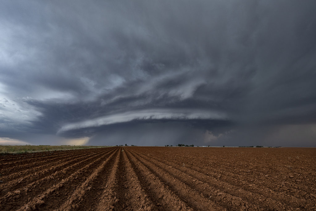
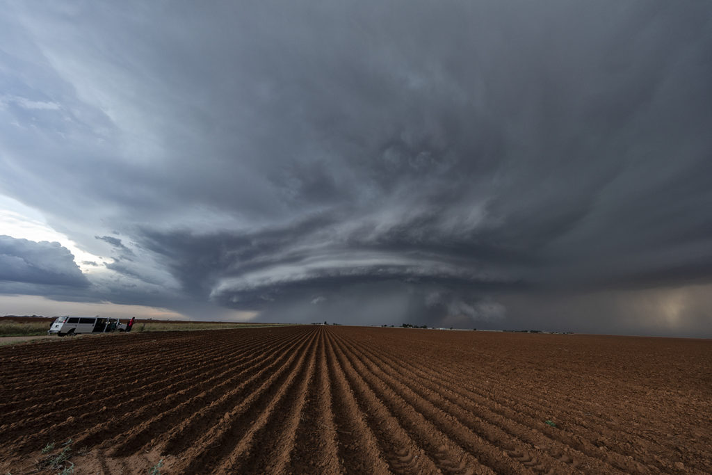
May 11th brought about a boundary that stretched from northeast New Mexico, southeastward across the Texas panhandle north of Lubbock. Moisture initially wasn’t high quality, although shear and lift were very good. Storms first went up southwest of Lubbock, followed by more storms northwest of Lubbock along the boundary. One storm rode the boundary, and started to get very organized. This supercell eventually merged with another cluster of storms. It later emerged from the line of storms and become a stunning supercell, with very strong rotation on the eastern side of the storm. We watched this entire sequence of developments, amazed at this storm’s ability to push through other weaker cells and emerge as the most intense cell of the day. It also became extremely photogenic as it marched southeast toward the north side of Lubbock. Producing huge hail and very strong winds, it pushed across town and eventually weakened. Enjoy the photos! Please click on an image to see a larger photo.


