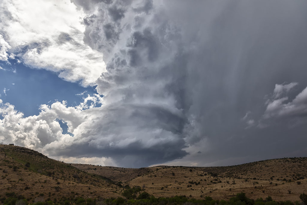
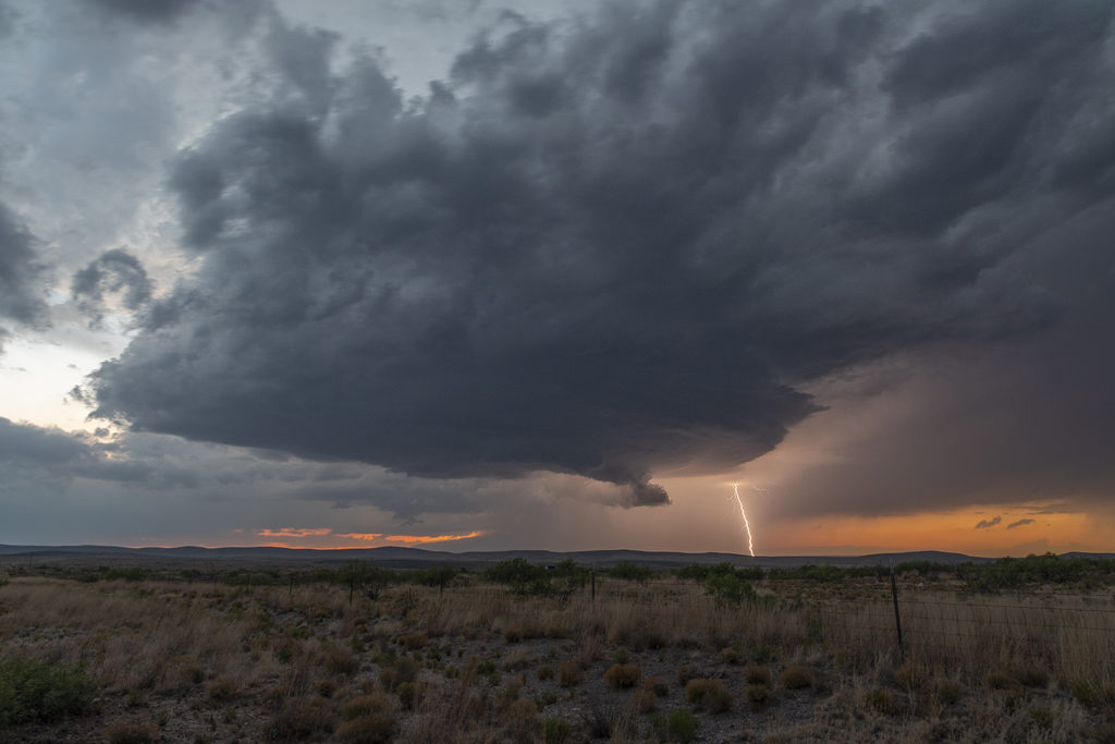
June 9th had one target for us, southwest Nebraska. An existing boundary would be the focal point for storm development that afternoon. Numerous storms formed, several becoming severe, however only one would survive and be the storm of the day. This supercell formed south of North Platte, NE and turned hard right, spinning like a top all the way to Oberlin, KS. The structure was top notch. When it first got its act together, it did have a slowly rotating wall cloud. We thought for a minute it might try to become tornadic, but the wall cloud eventually disappeared. As the storm moved south, it had the appearance of a mothership, and as it moved into Kansas as a low precipitation supercell, the structure at sunset was just stunning! A great day for the tours and an amazing way to end the evening! Enjoy the pics!
June 6th Western Nebraska Supercells
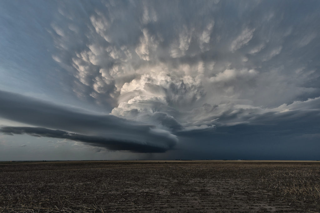
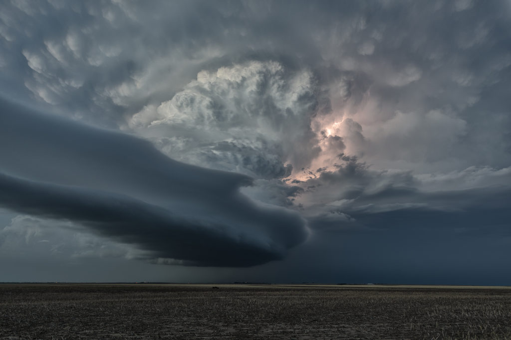
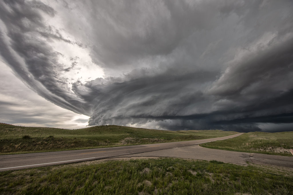
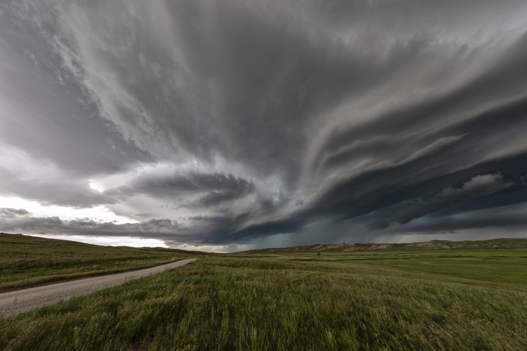
Sometimes you get a set up where shear is really strong, but moisture is a bit lacking. June 6th was one of those days where if only the moisture and resulting instability were a bit stronger that a significant severe weather event would occur. It looked like storms would form off the Black Hills and ride a frontal boundary to the southeast. By mid afternoon, a supercell formed northwest of Thedford, Nebraska and became severe. As it moved east it weakened while others formed further northwest. A storm did form off the hills and trek southeast into northwest Nebraska and became a formidable supercell. The structure was nice and the colors of the storm were superb! Having it in the sand hills is always a challenge to chase due to lack of roads. We were able to stay with it all the way past Stapleton before it eventually weakened to the southeast. A fun chase, pretty structure and beautiful landscapes! Enjoy the pics!
May 14th Southern Kansas/Northern Oklahoma Supercells
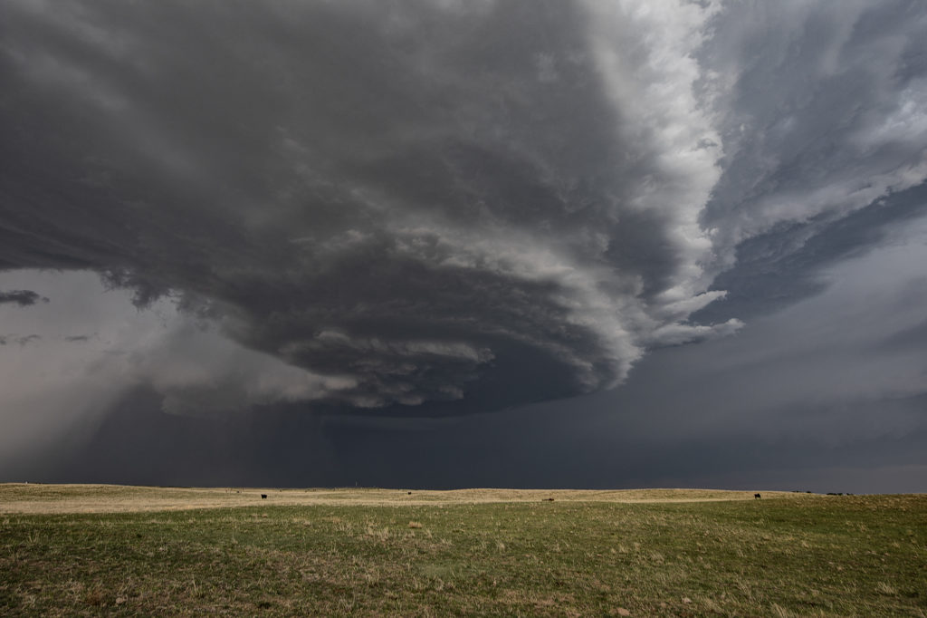
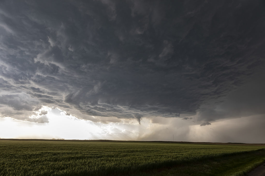
Lack of low level moisture was the theme this day. Good shear was present, however due to limited moisture, cloud bases were too high to produce tornadoes. Storms formed over south central Kansas and right turned into northwest Oklahoma as they became supercells. One storm even developed a clear slot and tried to produce a funnel. The intense lightning caused several grassland fires as well. Hail to the size of tennisballs also fell. They persisted through early evening before weakening due to loss of daytime heating. Very photogenic to say the least!
May 13th Northern Oklahoma Supercells
May 13th was a fairly marginal day as forecast. Some models tried to break out storms in southern Kansas and northern Oklahoma. We decided to chase down by the OK/KS border area and see if anything would form. Indeed it did! A couple of slow moving LP supercells developed and had decent structure and golfball hail. During the early evening hours, another supercell formed just southwest of the now decaying storms and became a formidable storm! Structure was of the classic supercell type and is spun like crazy in the dark. At one point we though it could even produce a tornado due to strong low level rotation. However it was not to be. A fun day, some good storms and great lightning in the night!
May 22nd Roswell, New Mexico Supercellfest
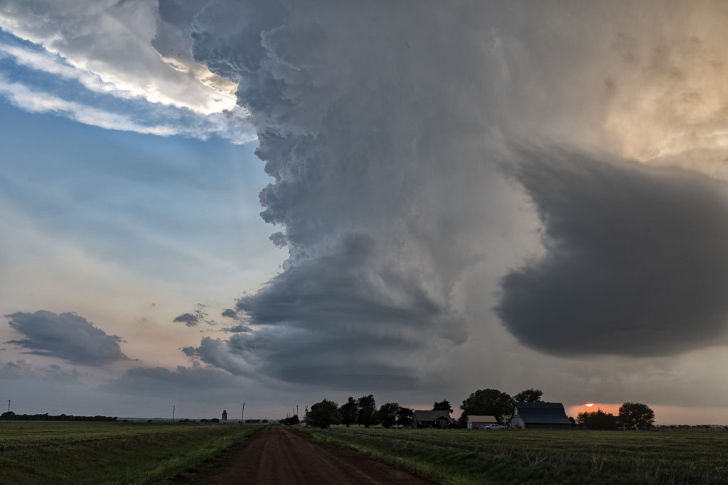
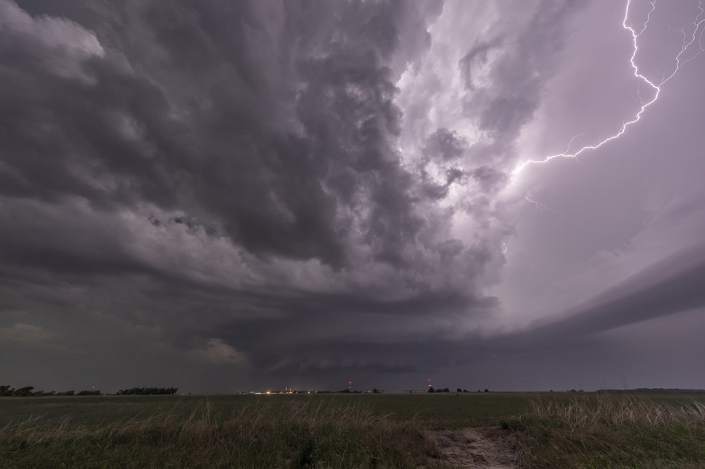
May 22nd took us to New Mexico for what appeared to be a decent set up for severe storms, but not much tornado threat. Good mid level shear, decent surface moisture and instability would set the stage for storm formation off the mountains west of Roswell. By mid afternoon several supercells formed and kept forming over the same region as they moved east off the mountains. We intercepted a few storms that had good structure, big hail and a lot of lightning. Storms persisted through the evening hours as they approached town with hail, high winds and plenty of electrical activity. All in all a good day for Tour 4 and Photo Tour #1 as plenty of opportunities for photography/videography were available!