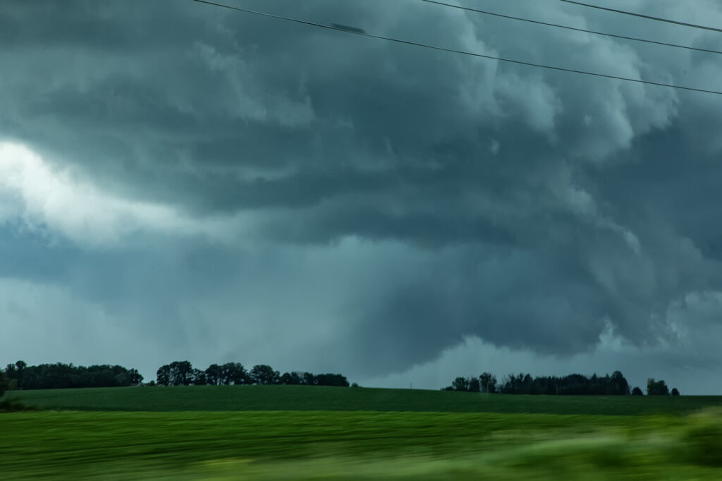
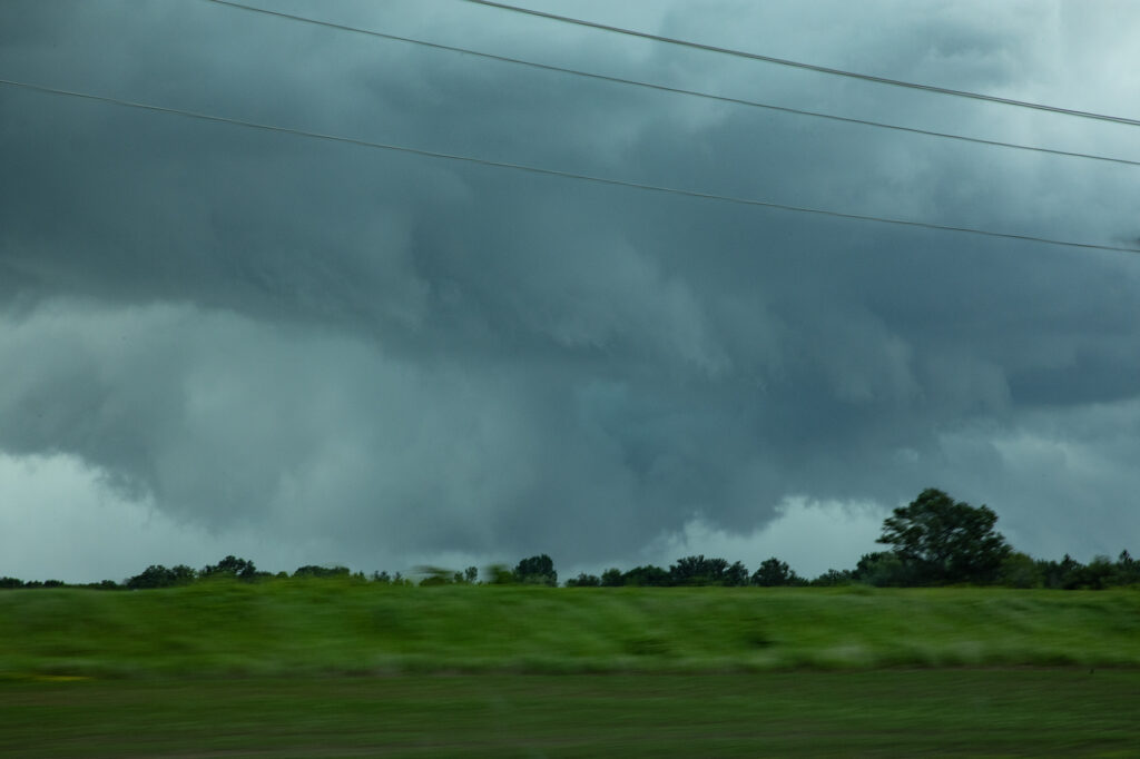
June 25th was an unusual day to say the least. Very high dewpoints in the mid to upper 70s were present along a boundary in southern MN. This boundary slowly moved north through the day. As it did, storms formed along and just north of it from around Alber Lea north and northeast. We intercepted one such storm that was tornado warned. As it rode the boundary, it spun hard. It had a good velocity couplet on radar and developed low level rotation quite obvious! Soon a broad rotating lowering formed with condensation fingers rising into it. Then a funnel formed that we could not confirm touched down. There were tornado reports from other locals that were right near it. These types of set ups are extremely difficult to chase, let along witness a tornado with numerous storms along and north of the boundary. But it was a pretty fun day, with decent results!