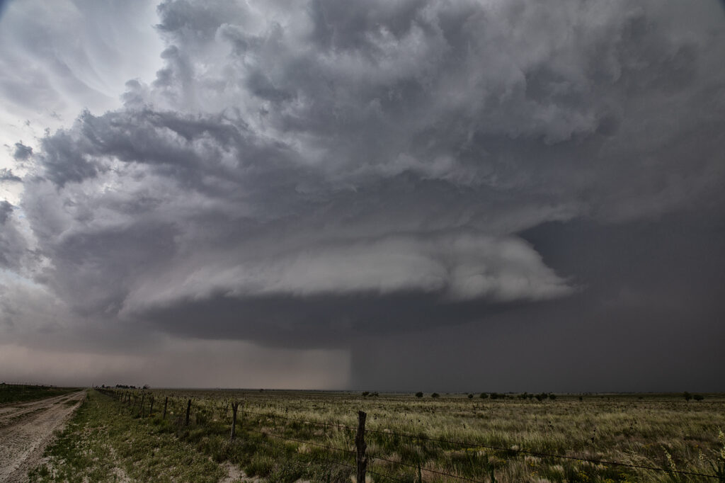
May 28th set up had a dryline in west Texas, with strong southeast winds bringing modest moisture westward. Moderate CAPE developed as well and storms formed mid afternoon along the dryline. Storms pulsed quite a bit, and due to straight hodographs, storms split and many mergers occurred. Eventually a supercell developed, anchored near Morton. Structure became better, but due to modest moisture, the cloud base was too high to produce tornadoes. As it moved east it encountered a boundary and spun nicely. After several cycles, it produced 5 inch diameter hail west of Lubbock! We blew it off as it weakened and played further south with a supercell that had softball sized hail. The tornado threat this day was quite low due to high bases, but with strong shear in place and low freezing levels, storms were prolific hail producers.


