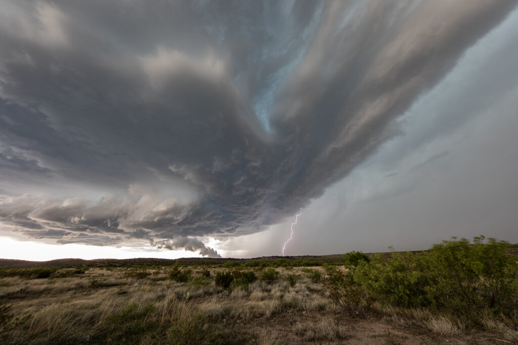
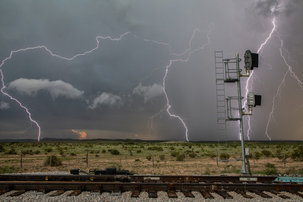
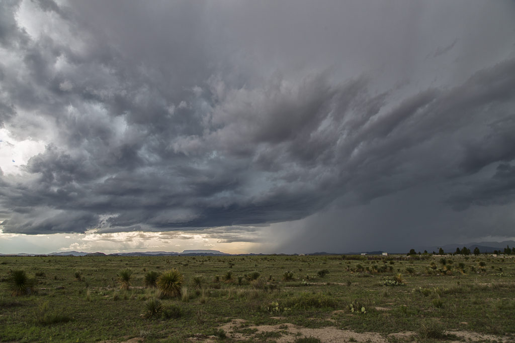
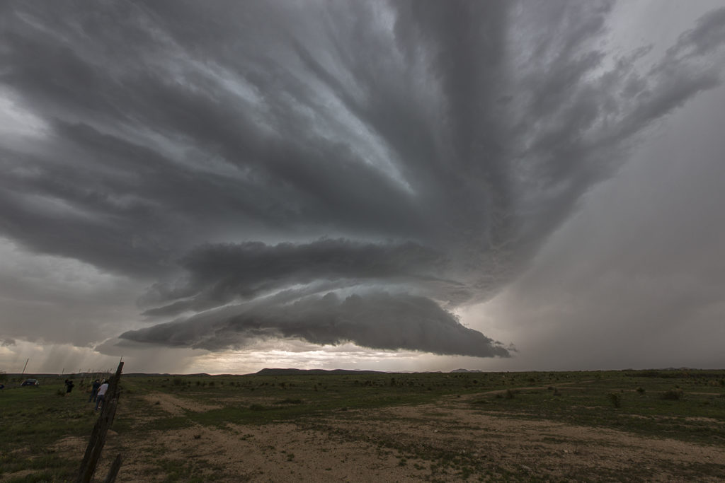
With a poor weather pattern forecast, we went to where the best combination of shear, moisture and instability were forecast, near the Davis Mountains of southwest Texas. Storms formed mid afternoon and intensified, with a supercell forming near Marathon, Texas and drifting southeast. It had good structure and was producing numerous cg strikes. As it moved towards Mexico, more storms formed west of town and also produced a lot of lightning. We encountered golfball sized hail and plenty of wind with the initial supercell!
June 1st Marathon, Texas Supercell Thunderstorm
June 1st continued the streak of limited moisture and shear for the US. We decided to chase the Davis mountains in southwest Texas and were treated to a pretty storm with very large hail to tennisball size. Two supercells emerged from the mountains with one storm in particular becoming a prolific hail producer. It tracked from near Marathon eastward to Sanderson where it dropped its largest stones of the day, measured 2.5″ in diameter. Later on, the storm gusted out and outflow kicked up a cluster of new cells on the Mexico border that were producing an incredible amount of lightning strikes. Pretty indeed, and a great way to finish the day!


